

Kjerag - Lysefjord
Weather
Now
In 24 hours
Weather forecast from MET Norway (yr.no).
Northern Lights Chances
An indication, not a promise: aurora activity over this place (NOAA's OVATION model and Kp forecast) times the clear sky in the best three-hour window of the night (MET Norway), dark hours only; the window is named. The next nights rest on the Kp forecast only; the solar wind cannot be forecast that far ahead. The whole region live: our Northern Lights Forecast; every spot at once: the Northern Lights Visibility Map.
Getting there
On the way
Road reports within 40 km and the nearest road cameras, from Statens vegvesen (NLOD). The pictures refresh every few minutes; the reports are put into English word by word.
Hiking Trail
Live for this place: Northern Lights Chances for tonight and the next two nights, the weather now and in 24 hours.


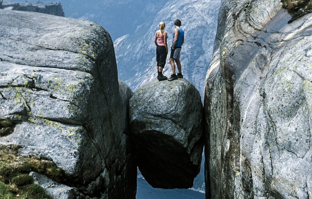
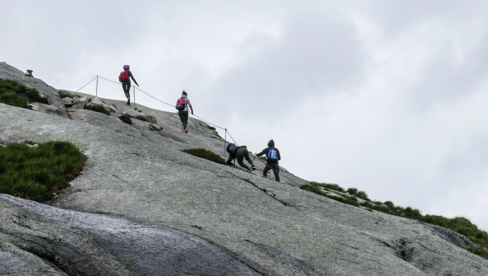
No doubt, Kjerag belongs to the top ten attractions of Norway. The mountain is 1.084 metres above sea level and most known for its giant boulder wedged in a crevice. The hike from the parking takes you about 2.5 hours one way. It’s a challenging hike with steep passages where you have to pull yourself up and slide down with the help of wires. When it is raining, the stones can be very slippery; make sure you have proper footwear. You should definitely check the weather forecast or visit the Facebook site of Kjerag Tourist Information. They give daily advice and warnings for Kjerag hikers.
When you come to the Kjerag parking you will most definitely encounter Henrik or one of his colleagues. They will charge you 200 kr. for parking, for the time you are on your hike.
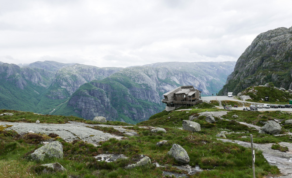
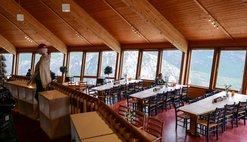
If the weather is bad or you are just too lazy to hike Kjerag, there is the Kjerag Cafe. While you sip your cappuccino you have an amazing view into the end of the Lysefjord or down to Lysefjordbotn. Also a walk on the balcony reminds you of the Sky Walk at the Grand Canyon ;)
Helpful links:
Important: The weather forecast on this page is showing Kjerag Parking and not the actual weather for the hiking trail!