

Anárjohka National Park
About
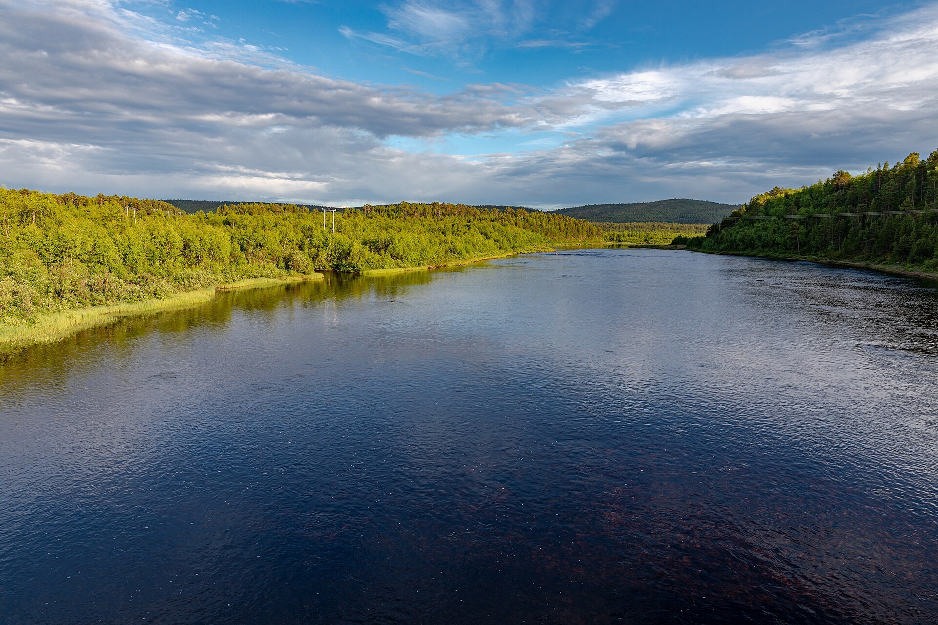
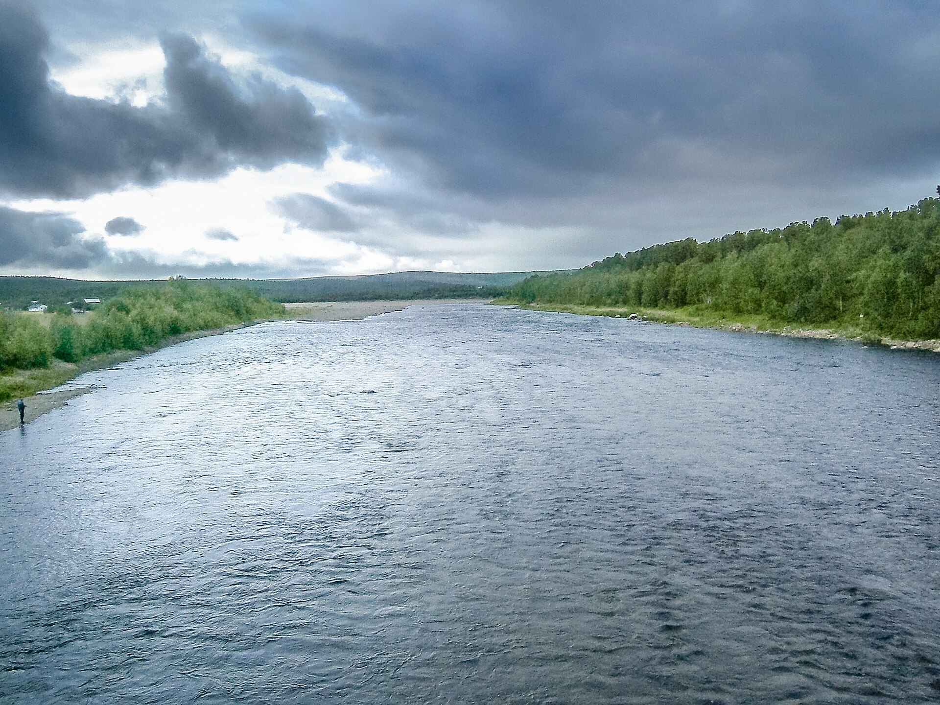
Anárjohka is not a park you see from the road. It lies in the far south-east corner of Finnmarksvidda, between Karasjok and Kautokeino, and borders Lemmenjoki National Park in Finland, together one of the biggest wild areas in the north. Low ridges with heather and thick mats of reindeer lichen alternate with bogs several kilometres long and more than 700 lakes, and along the rivers Anárjohka and Kárášjohka grow birch and old pine forest that joins the great pine forests of Lapland. For Norway it is remarkably flat, and the highest point, Gurbbeš, is only 589 m. The park was created in 1975 and covers 1.414 km². Brown bears den and raise cubs here, whooper swans and bean geese nest in the wetlands, and the northern red-backed vole, a Siberian species, lives in Norway only in Finnmark.
Local knowledge: this is winter land. The lichen is rich and the winters cold and stable with little snow, and since the Ice Age reindeer herds, first wild and in the last centuries domestic, have moved between winter grazing here and summer grazing on the coast. Around 35.000 reindeer use the park, and from October to May it is a living North Sámi working landscape, not an empty wilderness. Plans to add 624,6 km² to the park were started in 2009 and dropped in 2015 after local opposition. The park used to be called Øvre Anárjohka, "Upper Anárjohka". And there is gold in the river sand along Skiehččanjohka, the border river with Finland, where you can still find traces of old gold washing.
Visiting: there are no marked trails, no open huts and no bridges in the park apart from one suspension bridge over the Anárjohka, so this is for people who can find their own way and camp on their own. Most summer visitors come up the gravel road along the Anárjohka, which leaves Rv92 just before the border bridge to Finland, about 17 km from Karasjok. It is a long gravel road, roughly 55 km. The pin is at Basevuovdi, the last settlement and the sensible place to stop with a campervan. Further south only rough tracks continue, and from their end a good path of about 4 km leads to the open Andreas Nilsen cabin just outside the park border, the best base for day walks. Many who go deeper bring a packraft or a light canoe for the rivers, but expect long stretches on foot, especially when the water is low. July and August are best, and in August the mosquitoes ease off and the cloudberries ripen. Organised group trips are not allowed in the park. More on the park's official page.

Weather & Northern Lights
Now
In 24 hours
Northern Lights Chances
Weather forecast from MET Norway (yr.no). An indication, not a promise: aurora activity over this place (NOAA) times the clear sky in the best three-hour window of the night (MET Norway). The next nights rest on the Kp forecast only. More: our Northern Lights Forecast and the Northern Lights Map.
Getting there
Basevuovdi, Anárjohka valley, Karasjok, Norway
Nearby
- Extra KarasjokNearest shop · 63 km
- Vinmonopolet KautokeinoNearest Vinmonopolet · 105 km
Data from OpenStreetMap (ODbL)
On the way
Road reports within 40 km and the nearest road cameras, from Statens vegvesen (NLOD). The pictures refresh every few minutes; the reports are put into English word by word. All road cameras
Reviews
Rate this place
You are, or have been here? Give it your stars.
Comments
Thank you! Your comment is shown once we have read it.
No comments yet.
Write a comment
Let us know your experience with this place -- did something change? Your comment is shown once we have read it.
Please write a few words.
Thank you -- that is enough for now. Please try again in an hour.