

Photos: Frankemann (CC BY-SA 4.0), Bjarkan (CC BY-SA 4.0), Silje Grotle Nilssen (CC BY-SA 4.0) · Wikimedia Commons
1 / 3Ånderdalen National Park
About
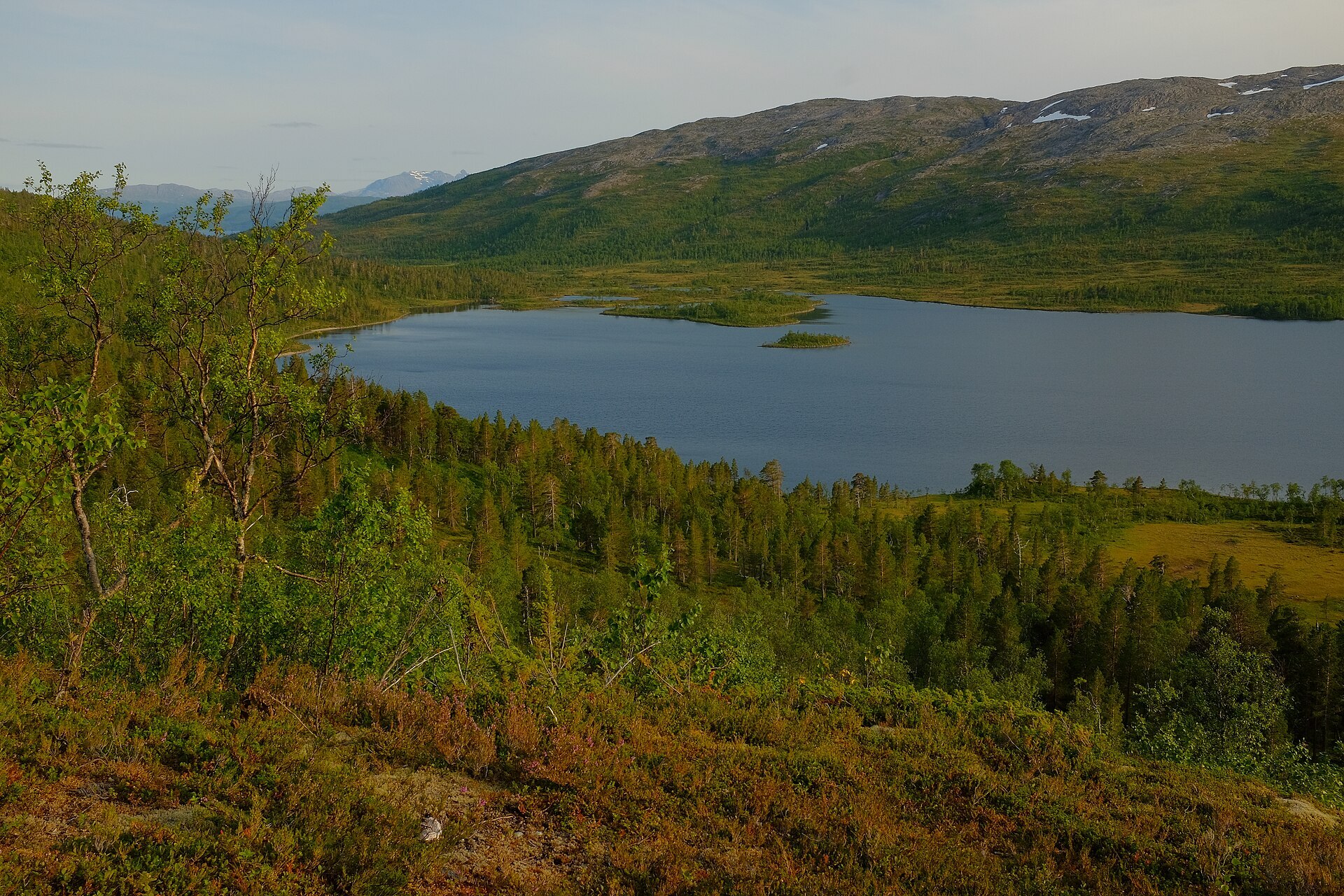
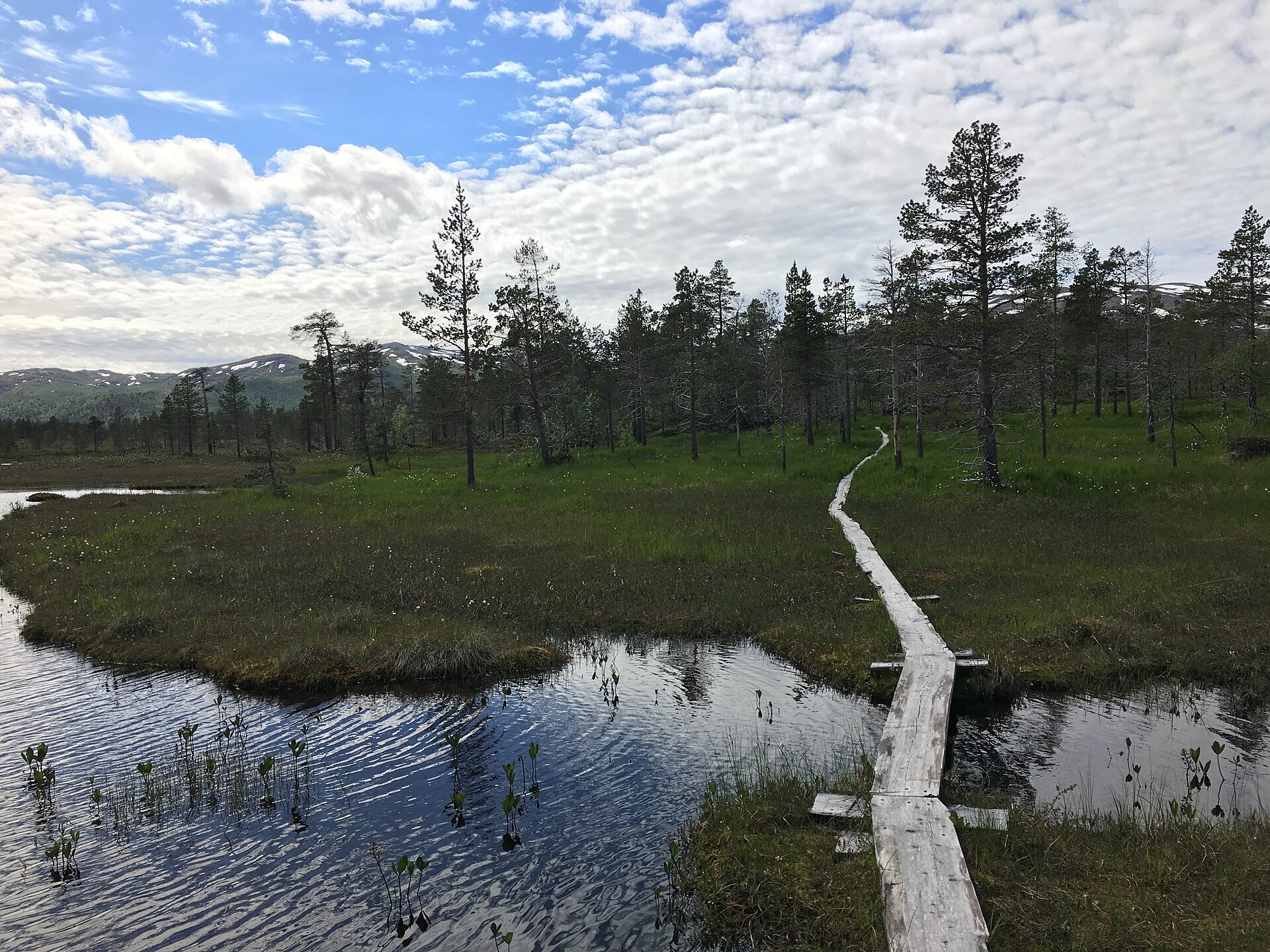
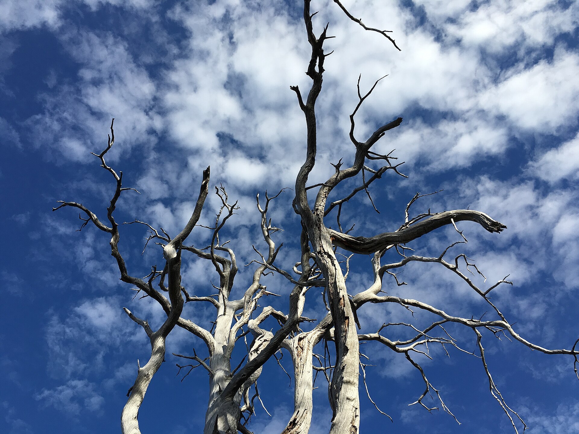
Ånderdalen shows both faces of Senja in one walk. On the inner side you are in a soft, rounded valley with old coastal pine forest, bogs and quiet lakes. Out towards the sea the granite turns into sharp peaks, narrow ridges and steep walls, because the Ice Age ice never ground those tops down. The pines are the reason the park was protected in 1970. They grow slowly in the poor granite soil, short and twisted, and some along the Ånderelva river are around 500 years old. The highest point is Kvænan at 964 m, and today the park covers 135 km² and reaches the sea at Selfjorden. Look out for hawk owls and three-toed woodpeckers in the pine forest, whooper swans and black-throated divers on the lakes. Moose are newcomers here, they only wandered in during the 1940s.
Local knowledge: high up on the northern edge of the park, in the pass between Sørfjellan and Stortind, archaeologists found 15 low half-moon walls of stone. They are bow stands, hiding places for hunters waiting for wild reindeer coming up the pass from Gjeskedalen, probably in autumn when the herds moved back from the coast. The walls sit right on the edge, so the reindeer could not see the hunters until they were almost on top of them. Nobody knows exactly how old they are, but there are Sámi remains nearby, and local tradition says the old turf hut sites at the mouth of the Gjeska river were a Sámi settlement. When the survey team reached the pass, a group of reindeer turned up a few hundred metres away. Today the reindeer belong to the Sør-Senja herding district, and they calve in the Ånderdalen forest in spring.
Visiting: the main entrance is at Hyttekroa in Tranøybotn on the east side, where the pin is, with a car park. From here a 2 km accessible trail with benches and fire pits leads to a viewpoint, a good alternative to the steep Senja peaks. If you want more, follow the path along the Ånderelva river up through the pines to Åndervatnet. There are only two open shelters inside the park, Ånderbu and the turf hut Åndergammen, so longer trips mean a tent. Stop at the Sážžá nature centre in Øverbotn first to learn about the park. Dogs must be on a lead on Senja from 1 April to 20 August, and dead pines may not be used for firewood. More on the park's official page. Nearby in our guide: Norwegian Wild / Tranøybotn Camping, Husfjellet hike and Sukkertoppen hike at Hamn.

Weather & Northern Lights
Now
In 24 hours
Northern Lights Chances
Weather forecast from MET Norway (yr.no). An indication, not a promise: aurora activity over this place (NOAA) times the clear sky in the best three-hour window of the night (MET Norway). The next nights rest on the Kp forecast only. More: our Northern Lights Forecast and the Northern Lights Map.
Getting there
Hyttekroa, Tranøybotn, Senja, Norway
Nearby
- Snarkjøp VangsvikNearest shop · 12 km
- Toilets100 m
- VangsvikaNearest village12 km
- Vinmonopolet FinnsnesNearest Vinmonopolet · 21 km
- Gryllefjord - Andenes FerryNearest ferry24 km
- Skatvik CampingNearest campsite6,7 km
Data from OpenStreetMap (ODbL)
On the way
Road reports within 40 km and the nearest road cameras, from Statens vegvesen (NLOD). The pictures refresh every few minutes; the reports are put into English word by word. All road cameras
Reviews
Rate this place
You are, or have been here? Give it your stars.
Comments
Thank you! Your comment is shown once we have read it.
No comments yet.
Write a comment
Let us know your experience with this place -- did something change? Your comment is shown once we have read it.
Please write a few words.
Thank you -- that is enough for now. Please try again in an hour.