

Barden hike
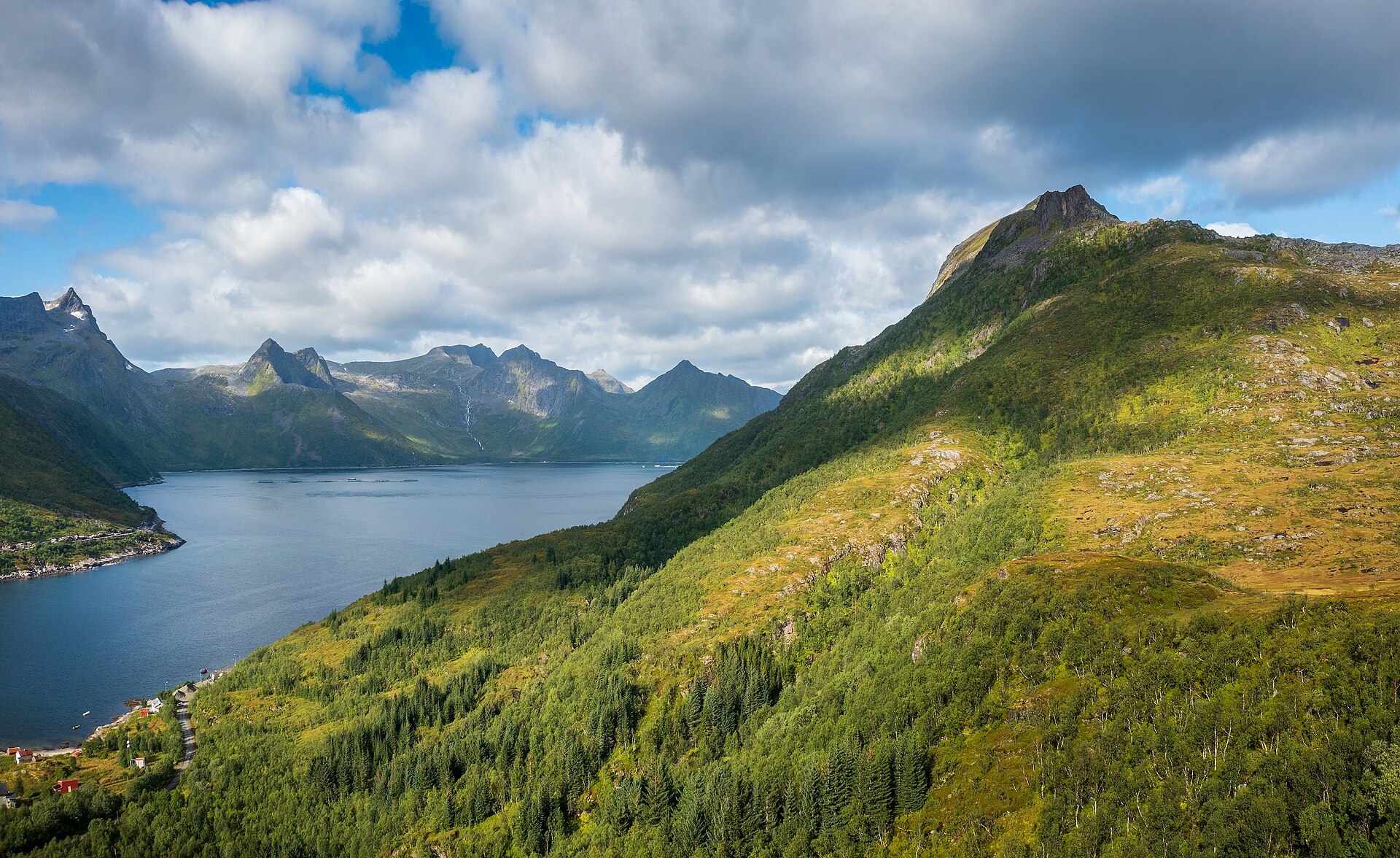
Photo: Ximonic (Simo Räsänen), CC BY-SA 4.0 (Wikimedia Commons)
The trail
- Lengthone way3.5 km
- Climbfrom 99 m to 658 m576 m
- Timeboth ways, at a steady paceabout 4 h
- TerrainRed: demanding
- Marked trailmaintained by Berg kommuneyes
Mountain weather changes fast. Check the forecast and the avalanche warning (varsom.no) before you go, and turn back when in doubt.
Trail: Kartverket, Turrutebasen (NLOD) · Heights and map: © Kartverket · Car park: © OpenStreetMap contributors
Gale · yellow warning (for the sea along the coast)
Stoett - Hekkingen · Wed 28 Oct 13:00 – Thu 29 Oct 14:00
Wednesday and Thursday south near gale, occasionally gale force 8. Late Wednesday morning or early afternoon veering southwest and decreasing.
All warnings on yr.no · MET Norway
Avalanche danger · Sør-Troms
No rating at the moment. NVE issues avalanche forecasts from December to May.
varsom.no · NVE
Weather
Now
In 24 hours
Weather forecast from MET Norway (yr.no).
Northern Lights Chances
An indication, not a promise: aurora activity over this place (NOAA) times the clear sky in the best three-hour window of the night (MET Norway). The next nights rest on the Kp forecast only. More: our Northern Lights Forecast and the Northern Lights Map.
Getting there
Mefjordbotn, Senja Open in Google Maps
On the way
Road reports within 40 km and the nearest road cameras, from Statens vegvesen (NLOD). The pictures refresh every few minutes; the reports are put into English word by word. All road cameras

The Barden hike is a rewarding adventure, leading you 3.5 km one way through rugged terrain to reach an elevation of 658 m. With an ascent of 576 m, the round trip takes about 4 hours. The trail is marked and graded as 'Red: demanding', indicating a challenging route, so be prepared for a demanding trek.
Start your journey at the Mefjordbotn car park, where parking is free. From there, follow the marked path as it climbs steadily, offering a mix of rocky and uneven surfaces. As you ascend, take in the changing landscapes and be cautious of the weather conditions, which can vary greatly.
Nearby
- Mefjordbotn car parkStart of the trail · freeright here
- FjordgårdNearest village4.6 km
- Botnhamn - Brensholmen FerryNearest ferry9.0 km
- Fjordbotn CampingNearest campsite7.7 km
Data from OpenStreetMap (ODbL)