

Photos: Lars Bugge Aarset (CC BY-SA 4.0), Lars Bugge Aarset (CC BY-SA 4.0), HATY (CC BY-SA 3.0) · Wikimedia Commons
1 / 3Blåfjella-Skjækerfjella National Park
About
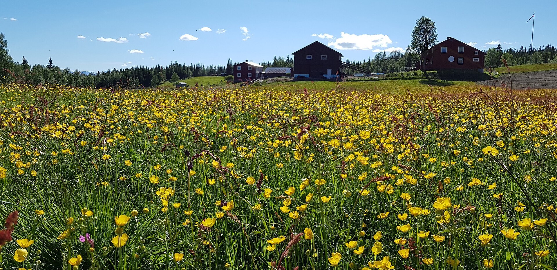
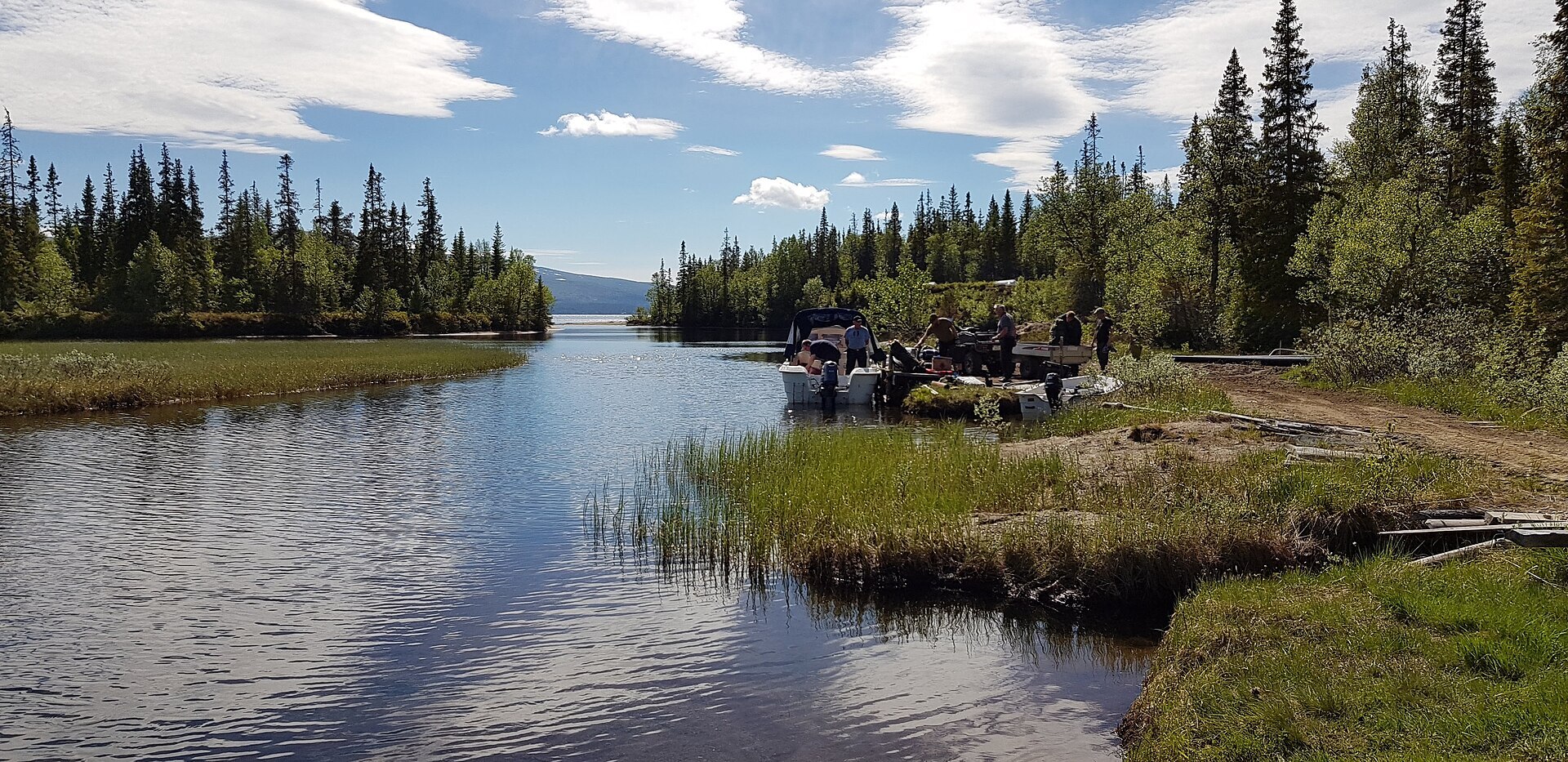
Blåfjella-Skjækerfjella, Låarte-Skæhkere in South Sámi, is Norway's fourth largest national park, 1.931 km² of forest and mountain between Verdal, Snåsa, Lierne and the Swedish border, protected in 2004. Most of it is gentle, low mountain, but there are alpine areas too, with several peaks above 1.000 m. The highest is Midtiklumpen, 1.333 m. Lower down you walk through old spruce forest full of dead standing trees, a home for fungi and insects, and in spring you can hear capercaillie displaying at dawn. Big screes, bogs and lakes fill the rest. Arctic fox and golden eagle live in the high ground. Reindeer have been herded here for more than 500 years, and there are traces of hunting and fishing back to the Stone Age.
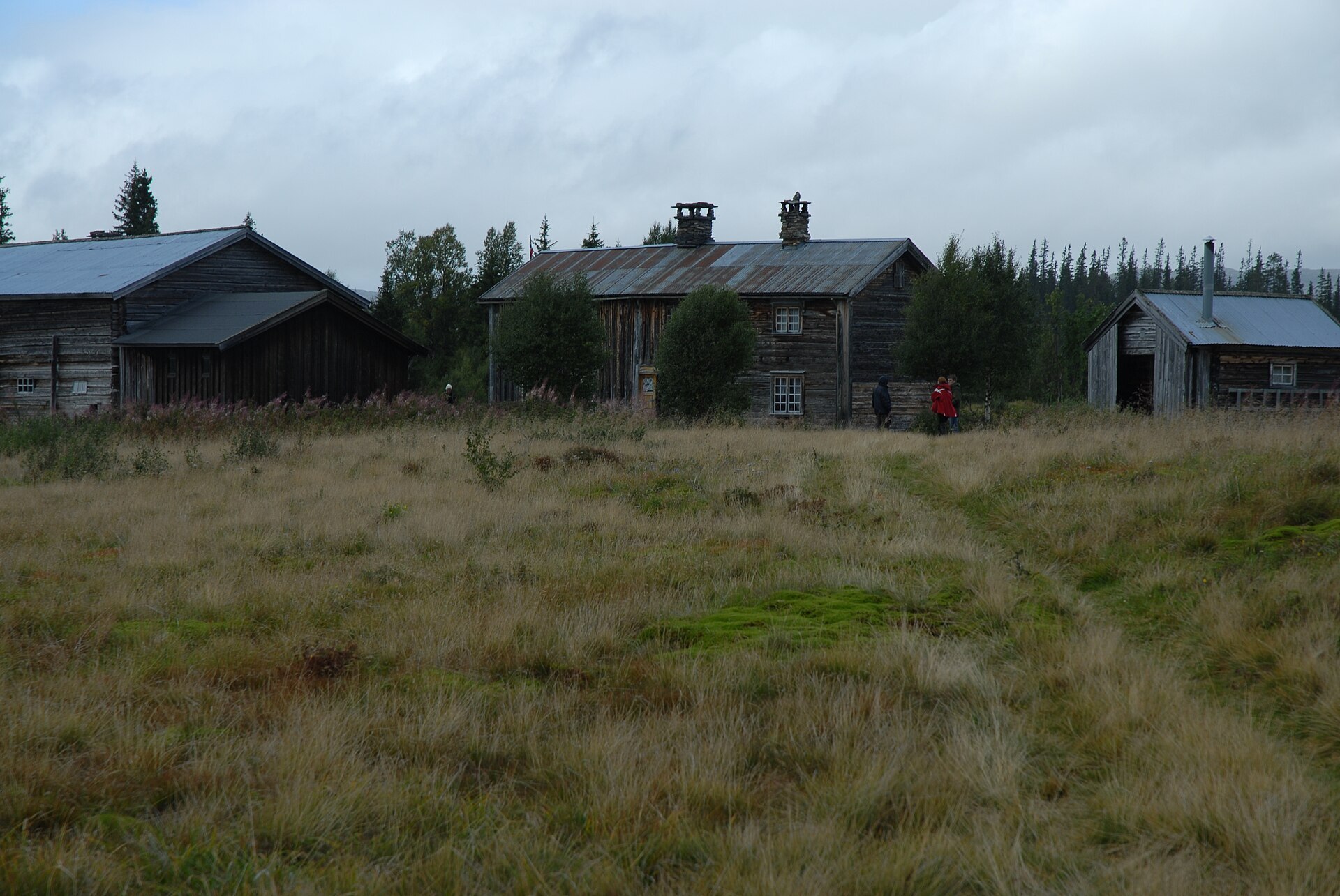
Local knowledge: on the east side, towards Sweden, people still live on the mountain farms of Gaundalen, Holden and Gjevsjøen. In March 1945 American soldiers and Norwegians parachuted onto the frozen lake Jævsjøen for Operation Rype, the only American land operation in Norway in the war. Their leader was Major William E. Colby, later head of the CIA, and the Gjevsjøen farm became their headquarters. On 7 April one of the supply planes crashed on Plukkutjønnfjellet in Snåsa and all 12 on board died. A week later the team blew up the Tangen railway bridge, and on 22 April they wrecked about 2,5 km of the Nordland railway in Lurudalen, the valley you drive through to the pin. The farmhouse at Gjevsjøen has been restored and now holds an exhibition.
Visiting: from Snåsa centre, follow the signs to Agle and carry on along Lurudalsvegen, a toll road, to Gressåmoen mountain farm. The pin is the car park there, where a trail starts into the park. Gressåmoen was a national park of its own from 1970 until it became part of Blåfjella-Skjækerfjella in 2004, and the old spruce forest here is the reason. The south of the park has the most marked trails and suits family walks. July to September is the best hiking time, while April and May are great for skiing. Drones and e-bikes are not allowed. The national park visitor centre in Lierne covers this park too and helps with route planning. More on the park's official page. Nearby in our guide: Lierne Gjestegård.

Weather & Northern Lights
Now
In 24 hours
Northern Lights Chances
Weather forecast from MET Norway (yr.no). An indication, not a promise: aurora activity over this place (NOAA) times the clear sky in the best three-hour window of the night (MET Norway). The next nights rest on the Kp forecast only. More: our Northern Lights Forecast and the Northern Lights Map.
Getting there
Gressåmoen, Lurudalsvegen, Snåsa, Norway
Nearby
- Coop Prix SnåsaNearest shop · 31 km
- Vinmonopolet GrongNearest Vinmonopolet · 38 km
Data from OpenStreetMap (ODbL)
On the way
Road reports within 40 km and the nearest road cameras, from Statens vegvesen (NLOD). The pictures refresh every few minutes; the reports are put into English word by word. All road cameras
Reviews
Rate this place
You are, or have been here? Give it your stars.
Comments
Thank you! Your comment is shown once we have read it.
No comments yet.
Write a comment
Let us know your experience with this place -- did something change? Your comment is shown once we have read it.
Please write a few words.
Thank you -- that is enough for now. Please try again in an hour.