

Børgefjell National Park
About
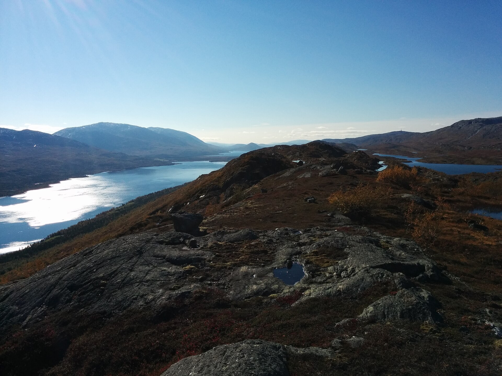
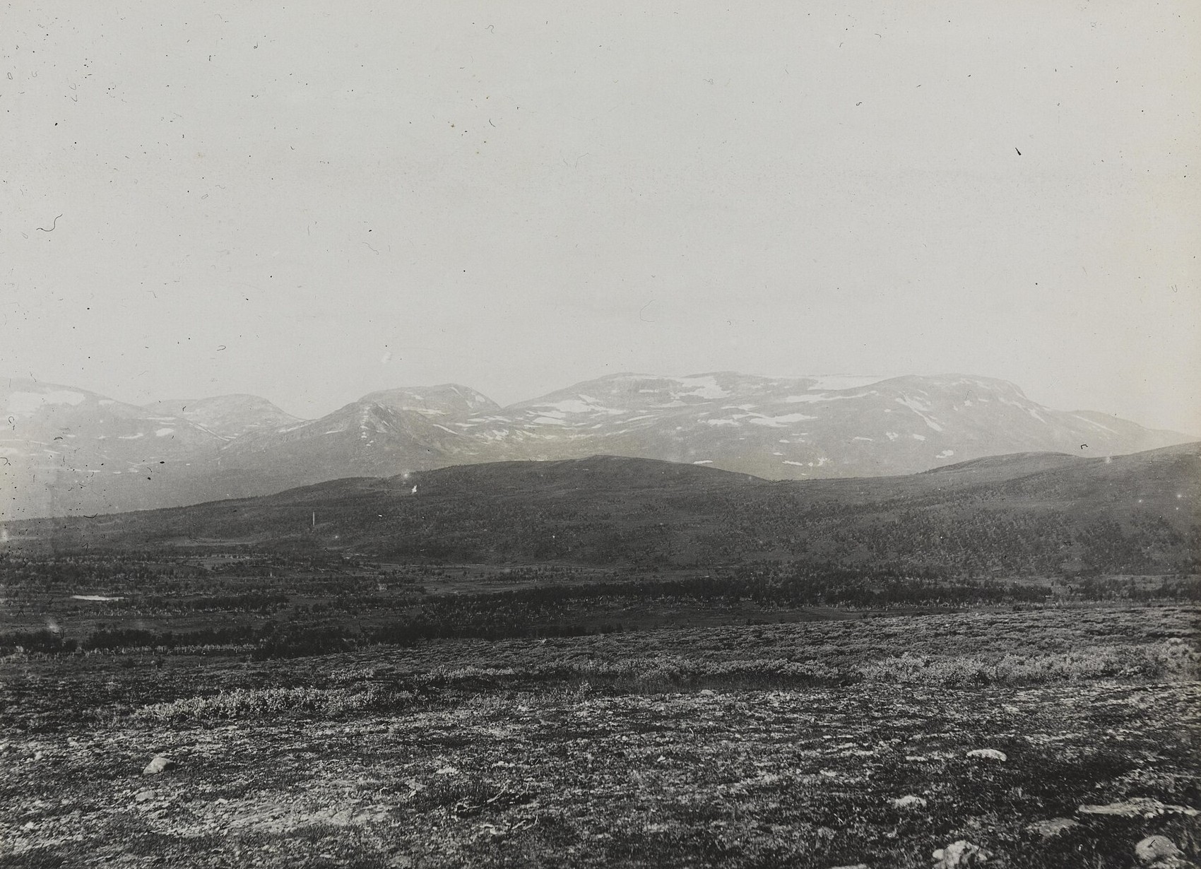
Børgefjell, Byrkije in South Sámi, has been a national park since 9 August 1963, which makes it Norway's second oldest. It sits on the border between Nordland and Trøndelag and runs east to Sweden, 1.447 km² of mountains with almost no buildings, roads or marked trails. In the west the peaks are steep, with deep valleys and small glaciers, and Kvigtinden (1.699 m) is the highest. Towards Sweden the hills get rounder, with heath and big lakes in between. Three rivers, the Namsen, the Vefsna and the Jengel, start up here, and the lakes are known for very good mountain trout. The arctic fox does well in Børgefjell without help from people, and snowy owl and golden eagle nest here too. The rock under your feet is gneiss about 1.700 million years old.
Local knowledge: the empty feel is no accident. In the early 1900s anglers discovered the fishing here, and in 1932 the Norwegian Trekking Association decided not to build cabins or mark routes, to keep Børgefjell a wilderness. That choice still shapes the park today. It was never empty of people, though. South Sámi families have herded reindeer here for centuries, and the herds still come to calve in May and June. When settlers moved into Hattfjelldalen from 1827, the Sámi felt the new farms broke their grazing rights, a conflict the writer Mikkjel Fønhus later turned into novels. If you see old turf hut sites or stone circles, leave them alone.
Visiting: drive to Fiplingdalen in Grane and follow the signs for Børgefjell National Park to the end of the gravel road in Simskardet. The pin is the summer car park, with an information board, toilet and shelter. In winter the road is not open, so park at the turn-off. The Simskard circuit is the classic first taste: a boardwalk along the Simskardelva river through old conifer forest to the open hut Simskardhytta, about 3,5 km, then back on the other side over bridges, roughly 7,8 km in total. Beyond the hut there are no marked trails, so bring a map and compass. Kvigtinden is climbed from here via Bisseggdalen, but that is a long mountain day. Keep away from reindeer, especially in the calving season. More on the park's official page and the park's own website.

Weather & Northern Lights
Now
In 24 hours
Northern Lights Chances
Weather forecast from MET Norway (yr.no). An indication, not a promise: aurora activity over this place (NOAA) times the clear sky in the best three-hour window of the night (MET Norway). The next nights rest on the Kp forecast only. More: our Northern Lights Forecast and the Northern Lights Map.
Getting there
Simskardet, Fiplingdalen, Grane, Norway
Nearby
- Snarkjøp FiplingdalNearest shop15 km
- Vinmonopolet MosjøenNearest Vinmonopolet · 63 km
- Anddalsvåg Ferry QuayNearest ferry64 km
- Svenningdal CampingNearest campsite19 km
Data from OpenStreetMap (ODbL)
On the way
Road reports within 40 km and the nearest road cameras, from Statens vegvesen (NLOD). The pictures refresh every few minutes; the reports are put into English word by word. All road cameras
Reviews
Rate this place
You are, or have been here? Give it your stars.
Comments
Thank you! Your comment is shown once we have read it.
No comments yet.
Write a comment
Let us know your experience with this place -- did something change? Your comment is shown once we have read it.
Please write a few words.
Thank you -- that is enough for now. Please try again in an hour.