

Færder National Park
About
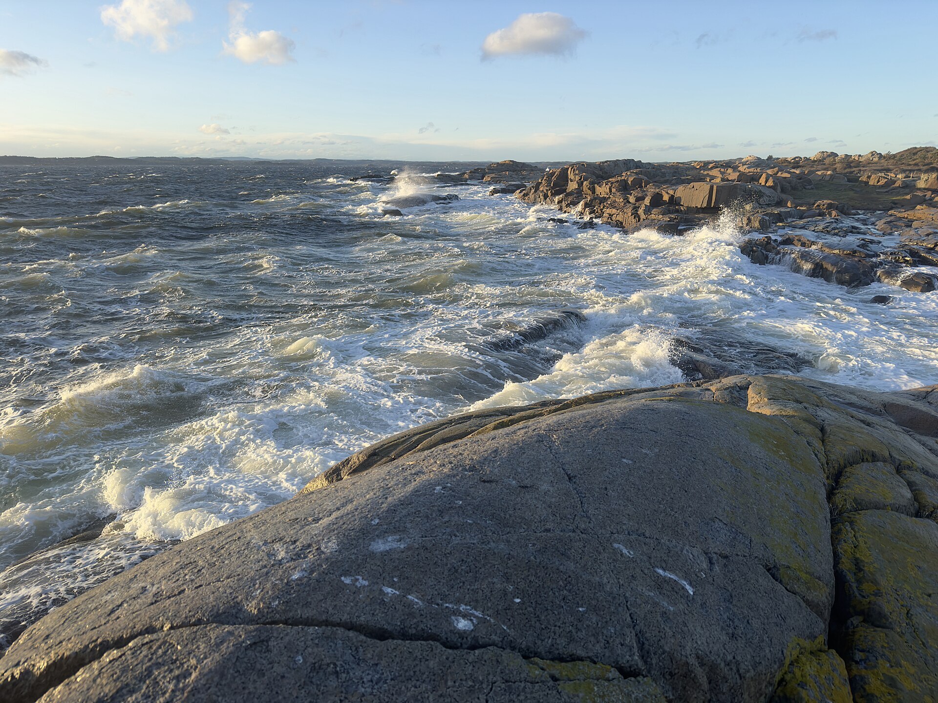
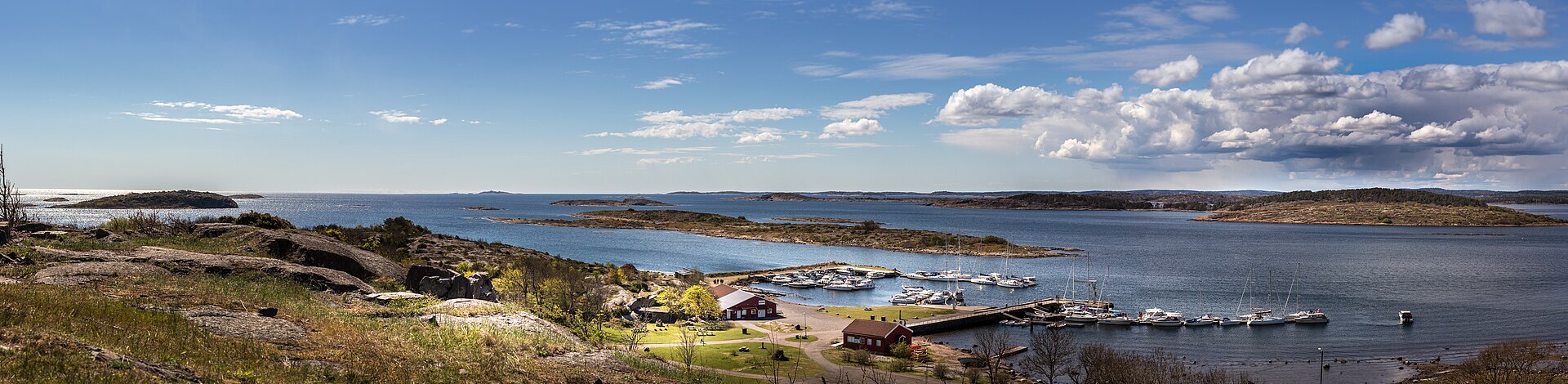
Færder is the archipelago at the mouth of the Oslofjord, from Ormøy in the north out to Færder lighthouse in the south. Most of it is sea. The park was opened in 2013 and covers 340 km², and only about 15 km² of that is land. What you notice first are the rocks: bare, smooth domes of larvikite polished by the ice, which people here call 'hvalskrotter', whale carcasses, because of their shape. On the islands there are Bronze Age cairns 2.000 to 3.000 years old, stone walls and hay meadows still cut the old way. As many as 907 species of butterflies and moths have been recorded on Østre Bolæren alone, and white-tailed eagles have nested in the park since 2016.
Local knowledge: Verdens Ende means 'World's End', but the name is younger than you might think. The place used to be called Helgerødtangen, after Tjøme's southernmost farm, and pilots kept a lookout here for sailing ships. The new name came from summer guests in the early 1900s. The old people of Tjøme were sailors and whalers who knew harbours all over the globe, and for them the world didn't end on these rocks, this is where it began. The tilting beacon with its basket for a coal fire was built as a tourist attraction in 1934, together with a restaurant, a couple of years after Vrengen bridge opened.
Local knowledge: the Bolærne islands have a darker story. The army took them over in 1916, and during the Second World War the Germans ran a camp on Mellom-Bolæren for sick Soviet prisoners of war. Most had contagious diseases and were sent out to the island to die. After the liberation the camp was burned down because of the risk of infection, but the stone foundations are still there.
Visiting: drive south from Tønsberg over the islands to the southern tip of Tjøme, 26 km in all. The pin is the car park at Verdens Ende, next to Færder National Park Visitor Centre, which Queen Sonja opened in 2015. Right outside is Moutmarka, a walking area on the mainland side that belongs to the park and is open all year, one of the most important places in the country for insects. In summer a boat runs daily from Tønsberg to Østre and Vestre Bolæren, with coastal paths, a defence museum and a café, and in spring and autumn it goes Friday to Sunday. The sheltered bays are good for kayaking, and several lean-tos can be used for the night. Parts of the park are closed to visitors in the breeding season, and jet skis are not allowed. More: the park's official page.

Weather & Northern Lights
Now
In 24 hours
Northern Lights Chances
Weather forecast from MET Norway (yr.no). An indication, not a promise: aurora activity over this place (NOAA) times the clear sky in the best three-hour window of the night (MET Norway). The next nights rest on the Kp forecast only. More: our Northern Lights Forecast and the Northern Lights Map.
Getting there
Verdens Ende, Helgerødveien, 3145 Tjøme, Norway
Nearby
- Joker HvasserNearest shop · 3,5 km
- Toiletsright here
- SandefjordNearest town13 km
- Vinmonopolet TjømeNearest Vinmonopolet · 6,9 km
- Skjærhalden Ferry QuayNearest ferry36 km
- Verdens Ende CampingNearest campsite700 m
Data from OpenStreetMap (ODbL)
On the way
Road reports within 40 km and the nearest road cameras, from Statens vegvesen (NLOD). The pictures refresh every few minutes; the reports are put into English word by word. All road cameras
Reviews
Rate this place
You are, or have been here? Give it your stars.
Comments
Thank you! Your comment is shown once we have read it.
No comments yet.
Write a comment
Let us know your experience with this place -- did something change? Your comment is shown once we have read it.
Please write a few words.
Thank you -- that is enough for now. Please try again in an hour.