

Photos: Robert Anders (CC BY 2.0), Cpt zeep (CC BY 4.0), Ida Brennodden (CC BY 4.0) · Wikimedia Commons
1 / 3Femundsmarka National Park
About
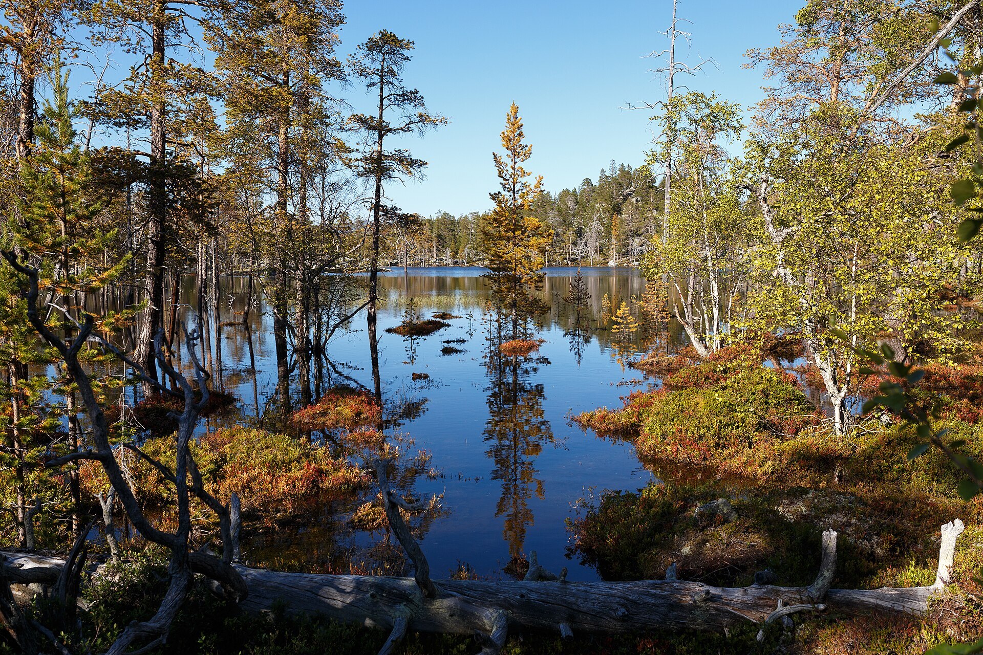
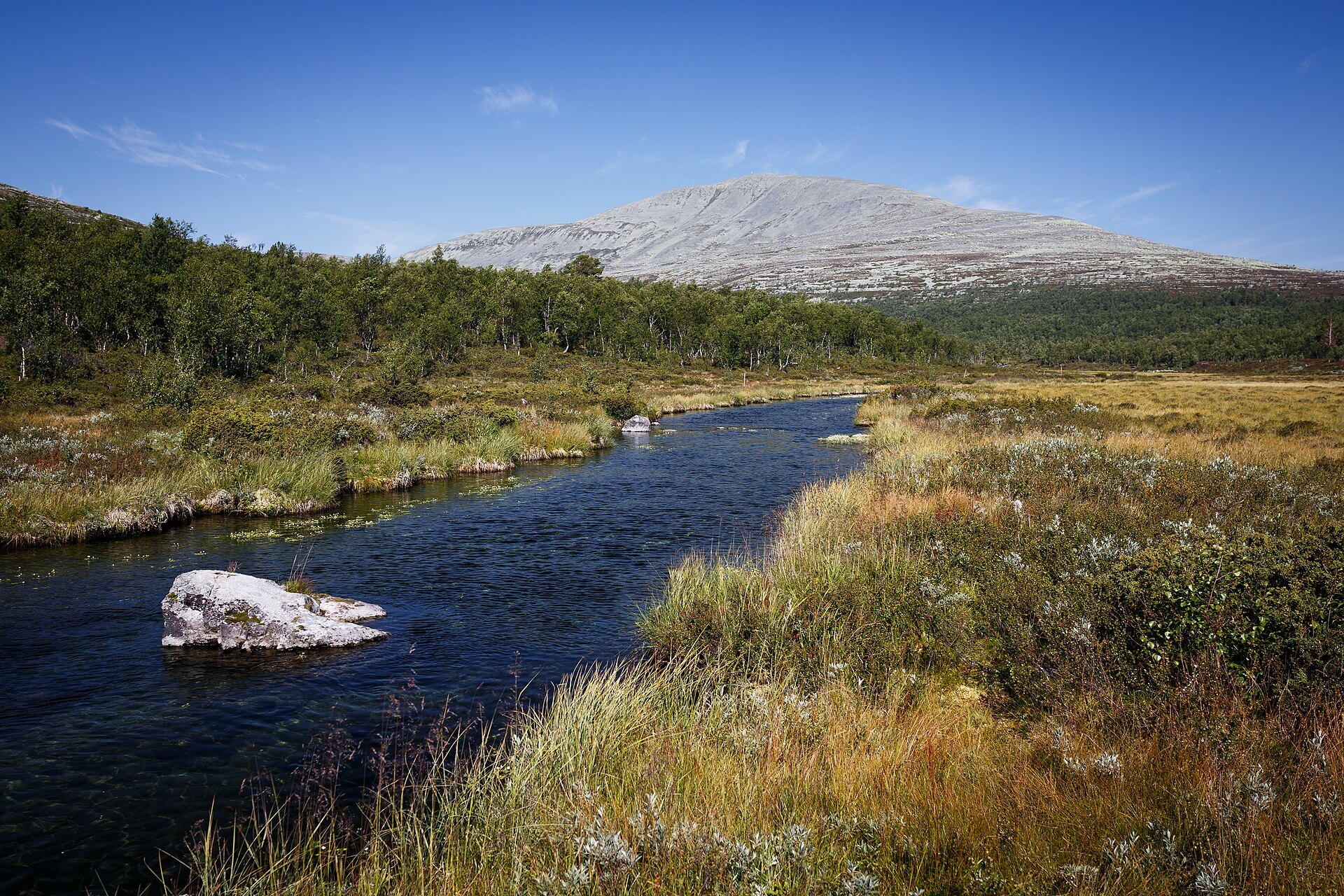
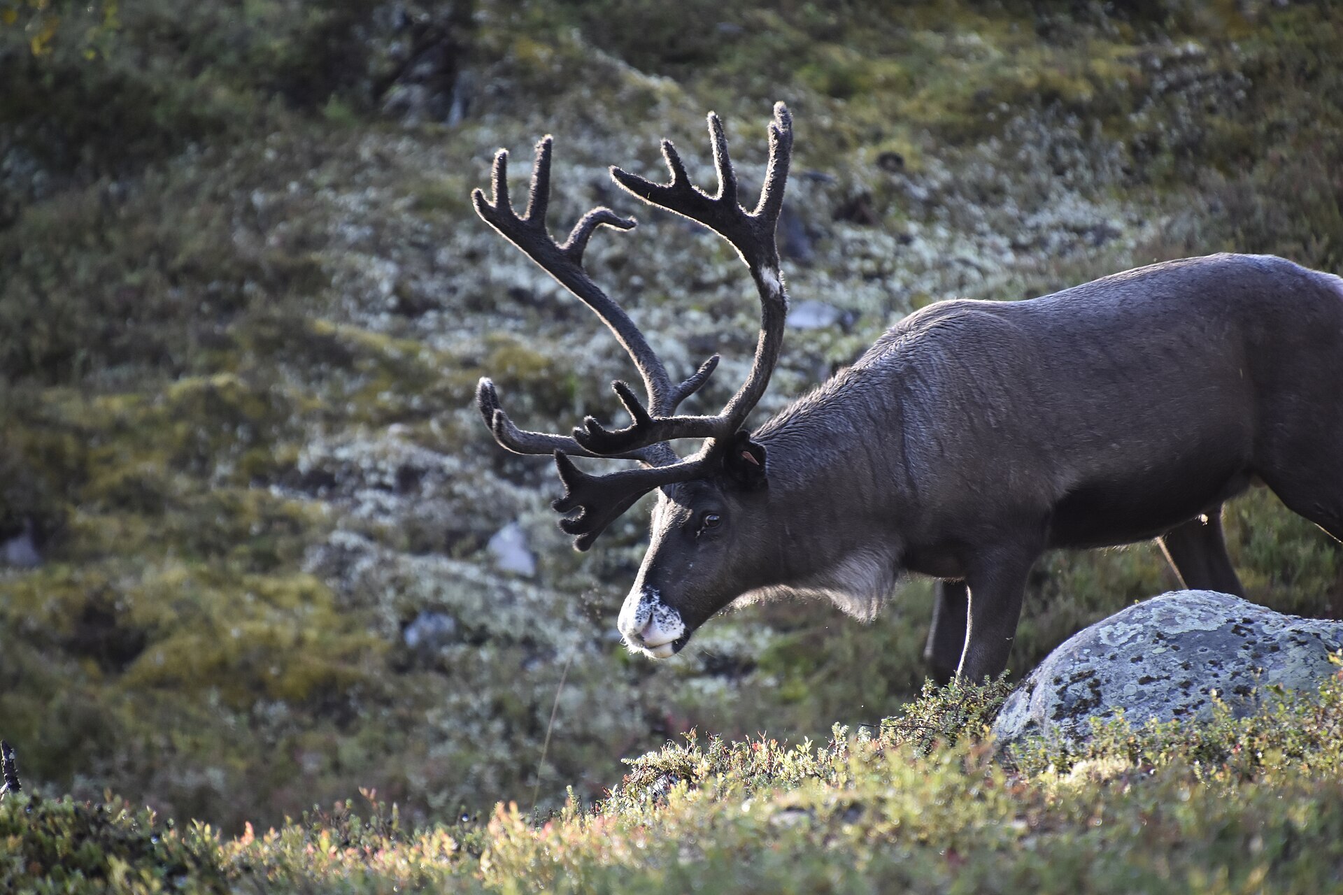
East of Lake Femunden the ground is mostly stone. Femundsmarka is a land of boulder fields, long gravel ridges, crooked old pines and so much water that lakes and rivers cover more than a tenth of the park. Rounded tops rise above it all, the highest being Storviglen (1.561 m) in the north and Elgåhogna and Stor-Svuku in the south. The park was first protected in 1971 and today covers 573 km². Together with the reserves on the Swedish side it is one of the largest wild areas in southern Scandinavia. The reindeer you meet belong to Southern Sámi herders. Even a few musk oxen live here, descendants of a small group that wandered over from Dovrefjell in 1971.
Local knowledge: the story goes that Femundsmarka was the last land God made. The good soil was used up, so only rocks were left, and when he saw how grey it looked he filled every hollow with water. Once the hills around Røros were cut bare, this became the main timber area for the copper works. You can still see stone walls built along the Røa river to help the log floating, and in 1764 a canal was dug from Femunden to Lake Feragen so timber could float on towards Røros – Femunden lies 8 m higher, so the logs ran by themselves. Plans to regulate Femunden for hydropower came up in the late 1960s, but the licence was refused in 1973, the first time such a plan in Norway was stopped for nature's sake.
Visiting: follow Fv 221 Femundveien north from Femundsenden to Elgå. The visitor centre has a car park, an exhibition on Southern Sámi reindeer herding and local history, and lends out twig stoves for free (open daily late May to early October). A trail starts right at the entrance, and the road to the DNT hut Svukuriset is open to bikes. In summer the old boat MS Fæmund II, on the lake since 1905, calls at Elgå on its way to Synnervika. All trees, living or dead, are protected. Use only small twigs for a fire, don't camp on the islands, and keep dogs on a lead from 1 April to 20 August. Links: the park's own website and the park's official page.

Weather & Northern Lights
Now
In 24 hours
Northern Lights Chances
Weather forecast from MET Norway (yr.no). An indication, not a promise: aurora activity over this place (NOAA) times the clear sky in the best three-hour window of the night (MET Norway). The next nights rest on the Kp forecast only. More: our Northern Lights Forecast and the Northern Lights Map.
Getting there
Femundveien 3633, 2446 Elgå, Norway
Nearby
- Nærbutikken ElgåNearest shop · 300 m
- ElgåNearest village300 m
- Vinmonopolet RørosNearest Vinmonopolet · 54 km
- Jonasvollen CampingNearest campsite8,3 km
Data from OpenStreetMap (ODbL)
On the way
Road reports within 40 km and the nearest road cameras, from Statens vegvesen (NLOD). The pictures refresh every few minutes; the reports are put into English word by word. All road cameras
Reviews
Rate this place
You are, or have been here? Give it your stars.
Comments
Thank you! Your comment is shown once we have read it.
No comments yet.
Write a comment
Let us know your experience with this place -- did something change? Your comment is shown once we have read it.
Please write a few words.
Thank you -- that is enough for now. Please try again in an hour.