

Photos: Geir Hval (CC BY-SA 4.0), Cato Edvardsen (CC BY-SA 4.0), Apple farmer (CC BY-SA 4.0) · Wikimedia Commons
1 / 3Forollhogna National Park
About
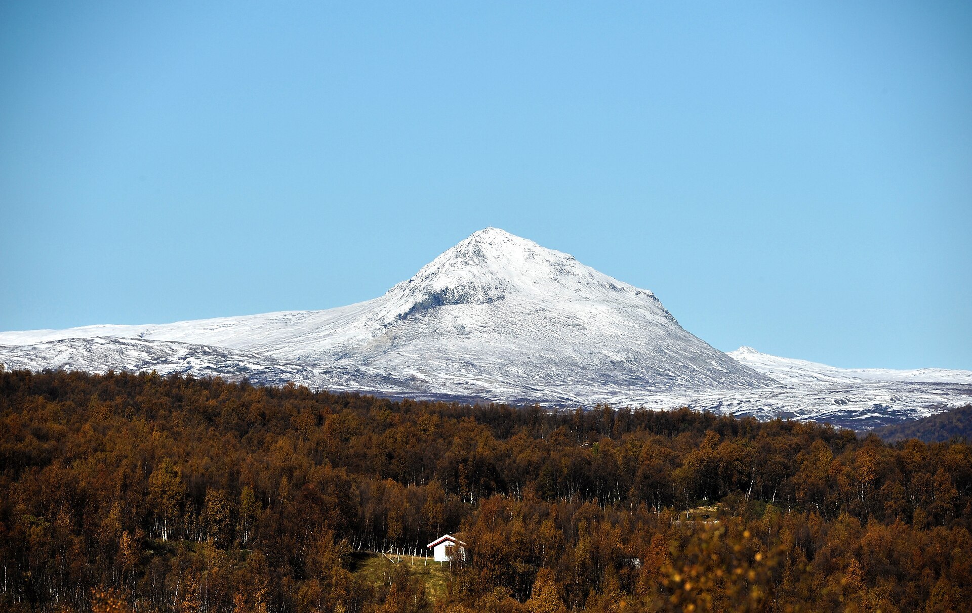
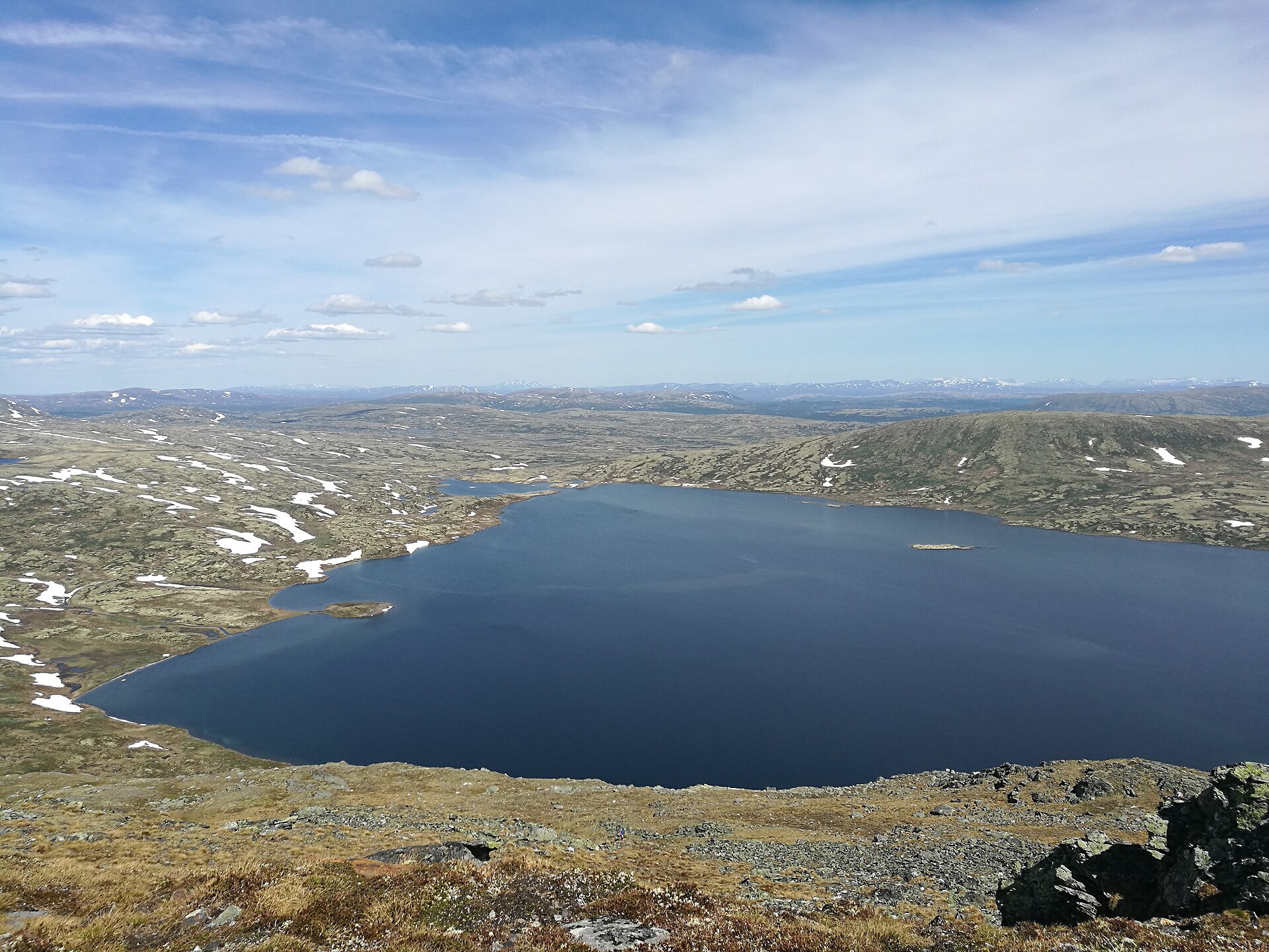
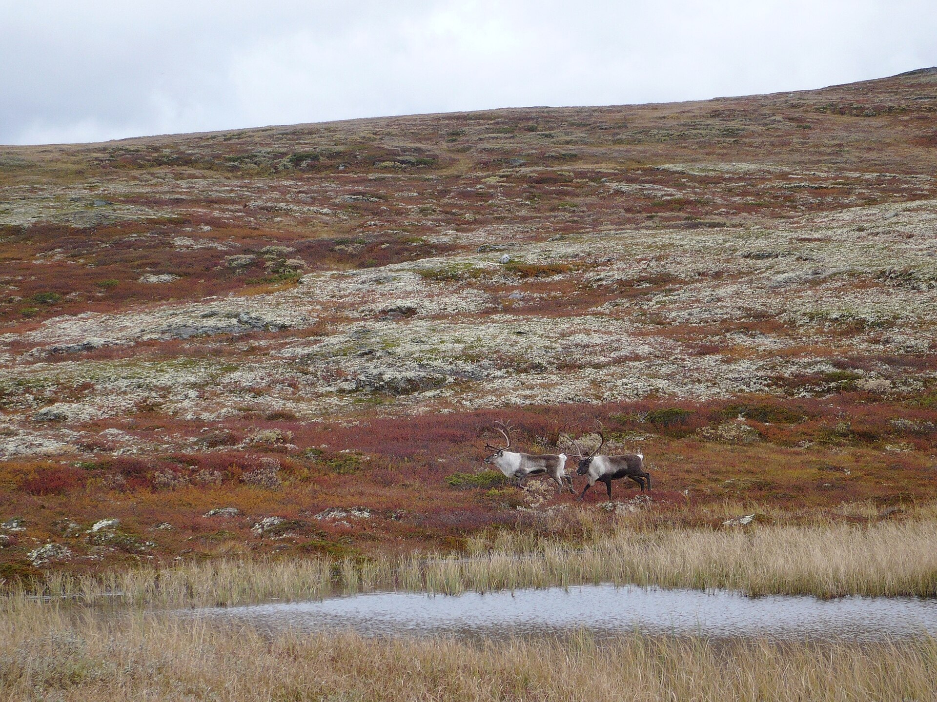
Locals call this area "the gentle mountains", and it fits. Between Østerdalen and Gauldalen the land rises slowly into a wide, rolling plateau with low tops, small lakes and lichen heath, and in the middle stands Forollhogna itself, 1.332 m. Just east of the top lies Forollsjøen. It drains north to the Gaula, but only low sand banks keep it from running south to the Glomma instead. The park was created in 2001 and covers about 1.060 km², with eight protected summer-farm valleys around its edge. Its wild reindeer herd is seen by many as the best in Norway, known for big bucks.
Local knowledge: people have crossed these mountains for a very long time. Hunting pits, old dwelling sites and the Østerdalsleden pilgrim path to Nidaros, which runs between Forollhogna and Forollsjøen, all tell of it. After the Røros copper works opened, copper was carried by pack horse over the mountain from Dalsbygda to Støren, since that was easier than following the valleys. Inside the park lies the Hersjø field. Ore was found there in the 1670s, and test drilling in the 1970s showed it to be the largest deposit ever found in the whole Røros district – about 3 million tonnes. It was never mined. Around the park, more than 100 summer farms are still worked in Midtre Gauldal, Os and Tolga.
Visiting: there are no marked DNT routes or tourist cabins in the park, but gravel summer-farm roads lead up from the valleys, and the easiest ways in are from Vangrøftdalen in the south and Budalen in the north. The pin is at Bunåva in Vingelen, reached by side road from Tolga on Rv 30. Bunåva, next to the village shop, is the park's visitor centre, with a café and an exhibition about summer farms and wild reindeer. From here a 3 km culture trail loops past old farms and the church in about an hour. The wild reindeer are easily disturbed, so keep your distance and never follow them. E-bikes are not allowed, and ordinary bikes only on existing roads. More on the park's official page. Nearby in our guide: Røros IL Bobilparkering in Røros.

Weather & Northern Lights
Now
In 24 hours
Northern Lights Chances
Weather forecast from MET Norway (yr.no). An indication, not a promise: aurora activity over this place (NOAA) times the clear sky in the best three-hour window of the night (MET Norway). The next nights rest on the Kp forecast only. More: our Northern Lights Forecast and the Northern Lights Map.
Getting there
Bunåva, Vingelen, 2542 Vingelen, Norway
Nearby
- Coop Marked VingelenNearest shop · right here
- VingelenNearest village100 m
- Vinmonopolet TynsetNearest Vinmonopolet · 16 km
- Kvennan CampingNearest campsite5,1 km
Data from OpenStreetMap (ODbL)
On the way
Road reports within 40 km and the nearest road cameras, from Statens vegvesen (NLOD). The pictures refresh every few minutes; the reports are put into English word by word. All road cameras
Reviews
Rate this place
You are, or have been here? Give it your stars.
Comments
Thank you! Your comment is shown once we have read it.
No comments yet.
Write a comment
Let us know your experience with this place -- did something change? Your comment is shown once we have read it.
Please write a few words.
Thank you -- that is enough for now. Please try again in an hour.