

Photos: Jarle Wæhler, Werner Harstad / Statens vegvesen · Nasjonale turistveger
Photos: Jonathan Saleh · Unsplash
1 / 4Gamle Strynefjellsvegen Scenic Route
About
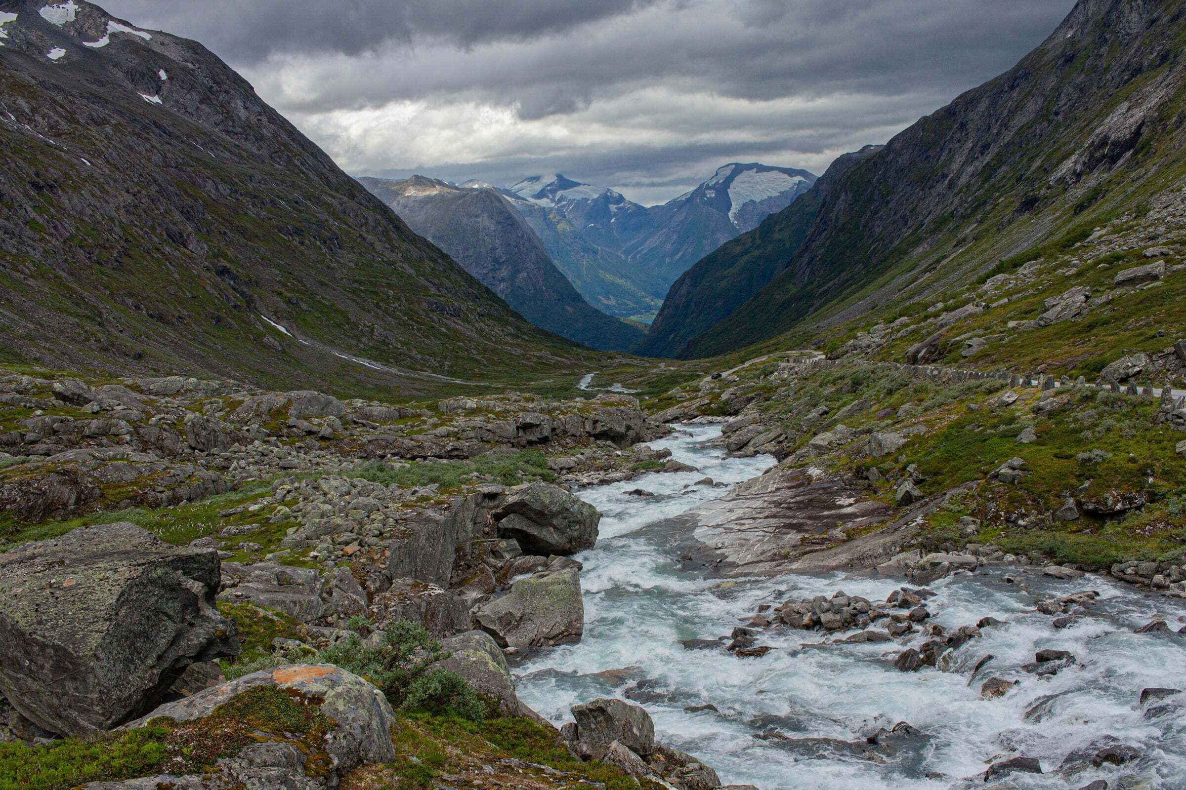
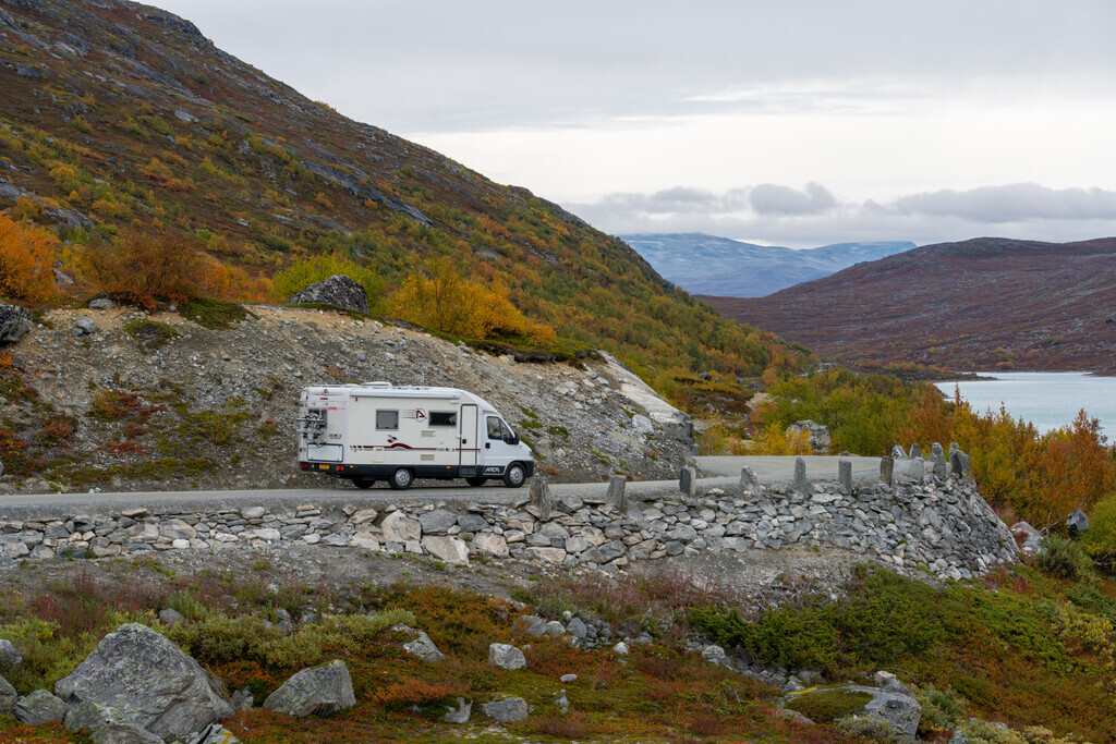
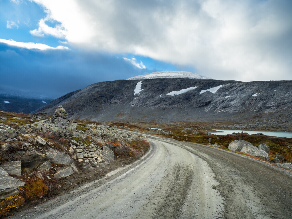
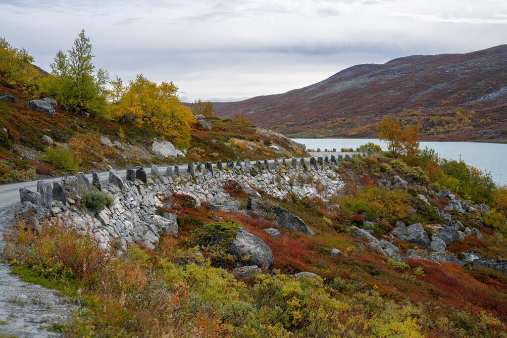
Gamle Strynefjellsvegen, the old Strynefjell road, is a museum in itself: built by hand at the end of the 19th century, with walls of carefully cut stone and long rows of guard stones, it crosses the mountain between Western and Eastern Norway as a quieter alternative to the new main road. It was listed as a protected road in 2009. The 27 km climb to 1139 metres pass lakes in every shade of blue and turquoise, waterfalls and snowfields; parts of it are gravel.
Start and end: the pin marks the start at Videsæter above Hjelle in Stryn – the direction of Nasjonale turistveger’s route file; the old road itself begins at the jetty in Hjelle. The route ends at Grotli. You can drive it either way.
Stops on the way: Videfossen and Øvstefoss – from the car park at Øvstefoss it is about 200 metres to the viewing platform, and the waterfall is at its best at the end of May and early June when the snow melts. Sheep are often on the road.
Tips for campers: Check before you go: the road reports further down this page show live what is reported along the whole route, and the map with the road conditions shows closures in red. the road is narrow in places with many bends and steep edges. Vehicles longer than 8 metres or with an axle load over 8 tonnes are not allowed between Grotli and the Vestland county boundary – check your camper before you go. The road is closed in winter: it has opened between mid-May and late June and closed between mid-September and mid-October, and it can close at night and in bad weather after opening. Emptying toilets is not allowed at the rest areas; the nearest dump stations are in Stryn, Bismo and Lom.

Weather & Northern Lights
Now
In 24 hours
Northern Lights Chances
Weather forecast from MET Norway (yr.no). An indication, not a promise: aurora activity over this place (NOAA) times the clear sky in the best three-hour window of the night (MET Norway). The next nights rest on the Kp forecast only. More: our Northern Lights Forecast and the Northern Lights Map.
Getting there
Start: Videsæter (Fv258), Stryn, Norway
Nearby
- Joker HjelledalenNearest shop · 5,3 km
- HjelleNearest village8,3 km
- Vinmonopolet StrynNearest Vinmonopolet · 29 km
- Geiranger Ferry QuayNearest ferry19 km
- Folven campingNearest campsite5,6 km
Data from OpenStreetMap (ODbL)
On the way
Road reports and road cameras along the whole route, from Statens vegvesen (NLOD), refreshed every few minutes – a red dot means closed. The reports are put into English word by word. Road conditions on the map
Reviews
Rate this place
You are, or have been here? Give it your stars.
Comments
Thank you! Your comment is shown once we have read it.
No comments yet.
Write a comment
Let us know your experience with this place -- did something change? Your comment is shown once we have read it.
Please write a few words.
Thank you -- that is enough for now. Please try again in an hour.