

Photos: Jim T. Kristensen, Statskog SF (CC BY-SA 2.0), Frankemann (CC BY-SA 4.0), Frankemann (CC BY-SA 4.0) · Wikimedia Commons
1 / 3Junkerdal National Park
About
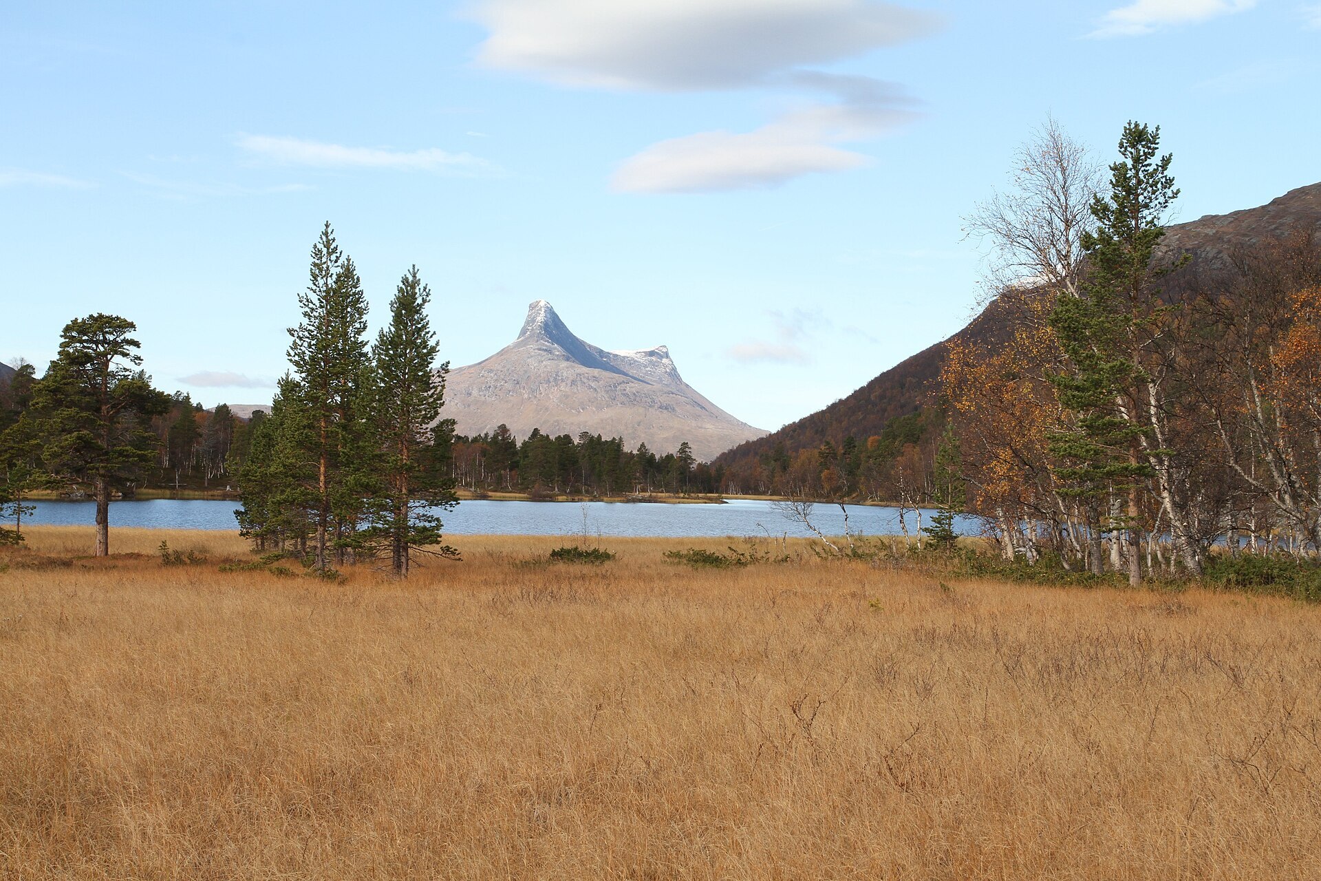
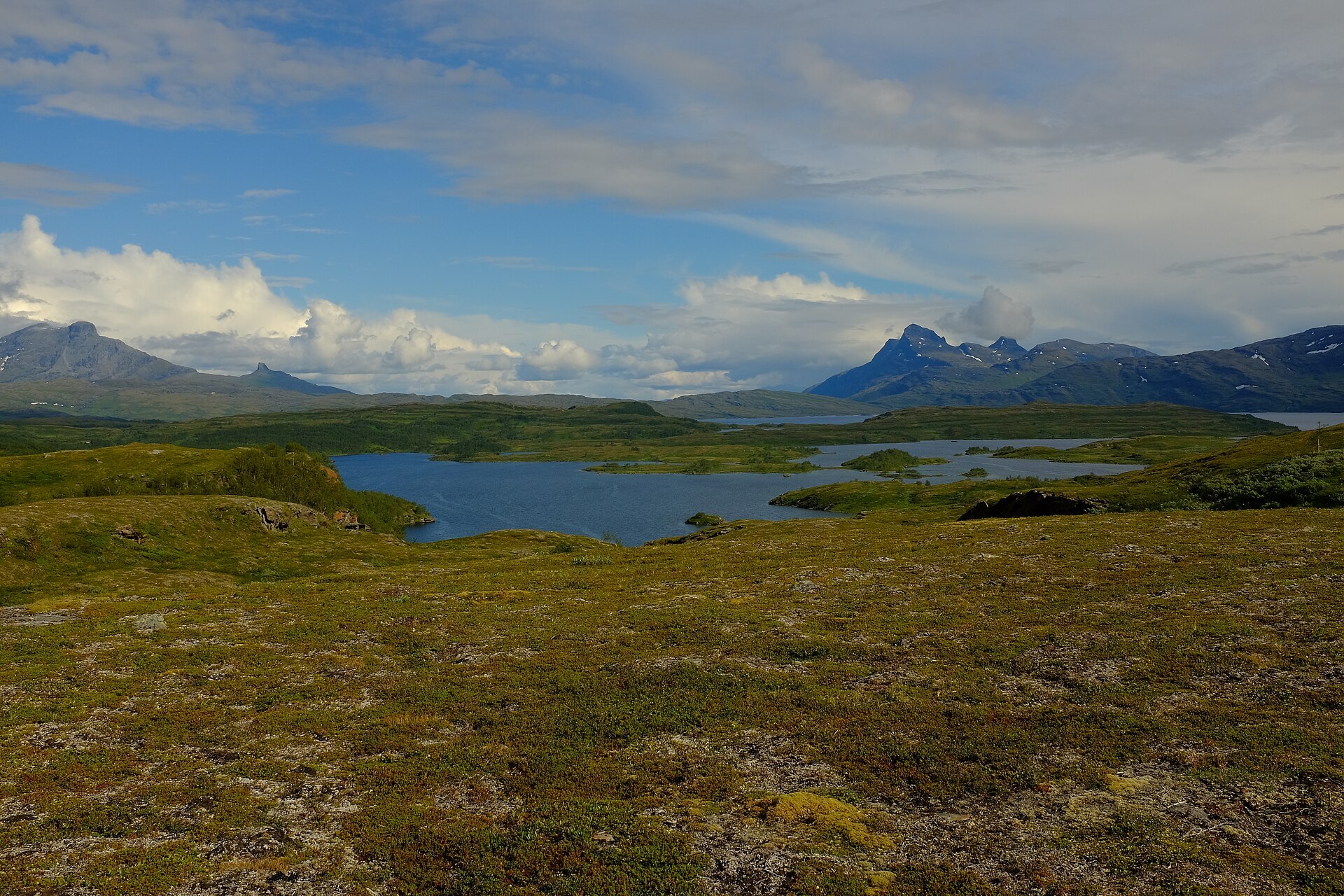
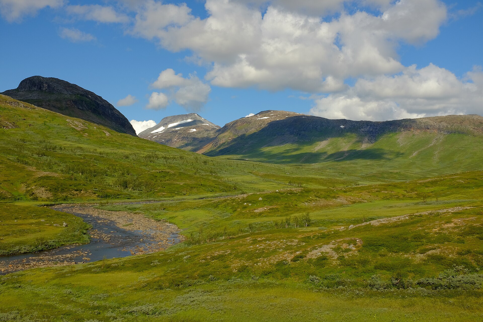
Junkerdal covers the mountains between the old mining town of Sulitjelma and the deep Junkerdalen valley, all the way east to the Swedish border. Broad valleys, the big lake Balvatnet and many peaks around 1.700 m. The highest is Nordre Saulo, 1.776 m, right on the border. The park was created in 2004 and covers 682 km², but what made it famous is much older news. The rock here is full of lime, and botanists count these mountains among the richest plant areas in Norway, with rarities like arctic poppy and silver saxifrage. Reindeer from both Norwegian and Swedish Sámi herds graze in the whole park.
Local knowledge: the plant story starts with a priest. Søren Christian Sommerfelt worked in Saltdal from 1818 to 1824 and spent his time botanising, partly in the steep scree of Junkerdalsura. Around 1820 he climbed Solvågtind and found that the red snow up there was coloured by a tiny alga. His work fed into a supplement to the big Lapland flora of the time, and in 1928 these mountains were protected as a plant reserve. The north side has a rougher history. Sulitjelma was a mining town from 1891 to 1991, and Jakobsbakken, at about 600 m just above the tree line, was its mountain village. Around 1920 up to 400 people lived here, and at one point the village had nine ski jumps. The ore went down to Langvatnet on a cable car almost 7 km long. The mine closed in 1968, and some of the old company houses are now being turned into places to stay.
Visiting: from Fauske, drive road 830 up to Sulitjelma and turn onto Fv7482 to Jakobsbakken. The pin is the hikers' car park there. The park boundary is only a few hundred metres away, and marked trails head into the mountains, with a view back to the Sulitjelma glacier. Coming from the south instead, the Nordland national park centre at Storjord on the E6 in Saltdal has exhibitions about the park, close to Junkerdalsura and Solvågtind. Inside the park you may not use living or dead trees for firewood, and fishing and hunting need a permit. More on the park's official page. Nearby in our guide: Sulitjelma Turistsenter.

Weather & Northern Lights
Now
In 24 hours
Northern Lights Chances
Weather forecast from MET Norway (yr.no). An indication, not a promise: aurora activity over this place (NOAA) times the clear sky in the best three-hour window of the night (MET Norway). The next nights rest on the Kp forecast only. More: our Northern Lights Forecast and the Northern Lights Map.
Getting there
Jakobsbakken, Sulitjelma, 8230 Sulitjelma, Norway
Nearby
- Coop Prix SulitjelmaNearest shop · 5,3 km
- Sulitjelma - SulisjielmmáNearest village5,4 km
- Vinmonopolet RognanNearest Vinmonopolet · 27 km
- Festvåg Ferry QuayNearest ferry66 km
- BobilplassNearest motorhome park25 km
Data from OpenStreetMap (ODbL)
On the way
Road reports within 40 km and the nearest road cameras, from Statens vegvesen (NLOD). The pictures refresh every few minutes; the reports are put into English word by word. All road cameras
Reviews
Rate this place
You are, or have been here? Give it your stars.
Comments
Thank you! Your comment is shown once we have read it.
No comments yet.
Write a comment
Let us know your experience with this place -- did something change? Your comment is shown once we have read it.
Please write a few words.
Thank you -- that is enough for now. Please try again in an hour.