

Kibergneset hike
Avalanche danger · Øst-Finnmark
No rating at the moment. NVE issues avalanche forecasts from December to May.
varsom.no · NVE
Weather
Now
In 24 hours
Weather forecast from MET Norway (yr.no).
Northern Lights Chances
An indication, not a promise: aurora activity over this place (NOAA) times the clear sky in the best three-hour window of the night (MET Norway). The next nights rest on the Kp forecast only. More: our Northern Lights Forecast and the Northern Lights Map.
Getting there
Kiberg, Vardø Open in Google Maps
On the way
Road reports within 40 km and the nearest road cameras, from Statens vegvesen (NLOD). The pictures refresh every few minutes; the reports are put into English word by word. All road cameras

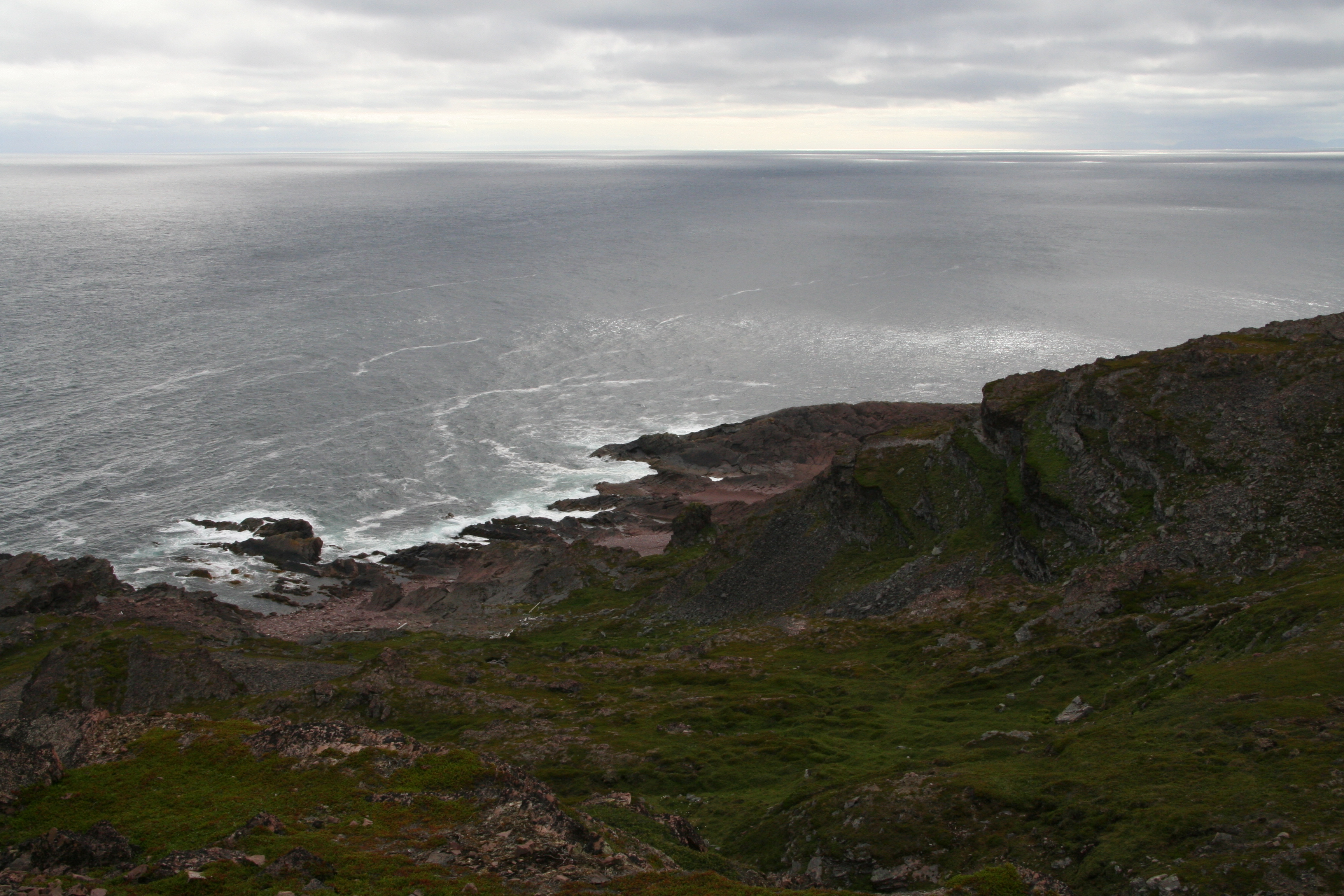
Kibergneset near Kiberg is the easternmost point of mainland Norway, out on the shore of the Barents Sea. The path to the Østkapp light is about 3,9 km each way and climbs only about 75 metres. Plan about 2,5 hours both ways. The trail is graded Green: easy.
The path is not marked, so bring a map or a phone with the route. It starts at the end of the road Bergstien in Kiberg; there is no marked car park, so park where you do not block the road.
Nearby
- VardøNearest town10 km
- Vardø BobilplassNearest motorhome park11 km
Data from OpenStreetMap (ODbL)