

Photos: Roger Ellingsen, Trine Kanter Zerwekh, Tonje Tjernet / Statens vegvesen · Architect: 3RW Arkitekter – Jakob Røssvik · Landscape architect: Smedsvig Landskapsarkitekter · Nasjonale turistveger
1 / 3Kjeksa – Atlantic Road
About
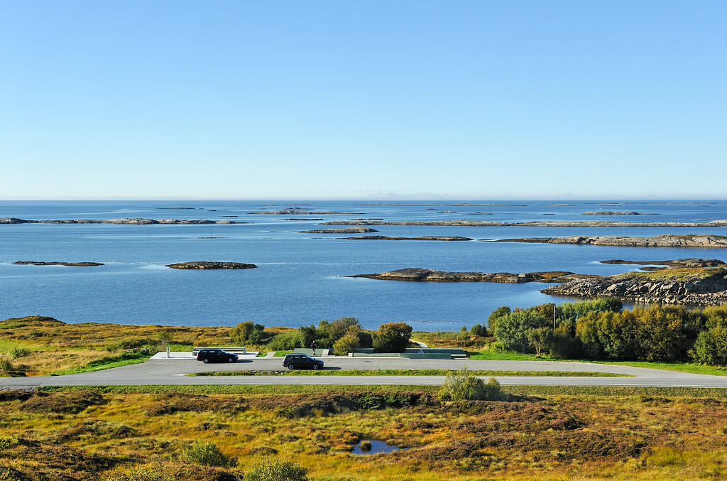
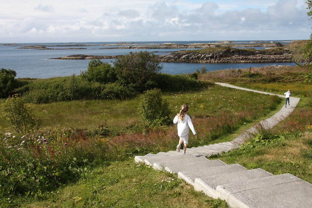
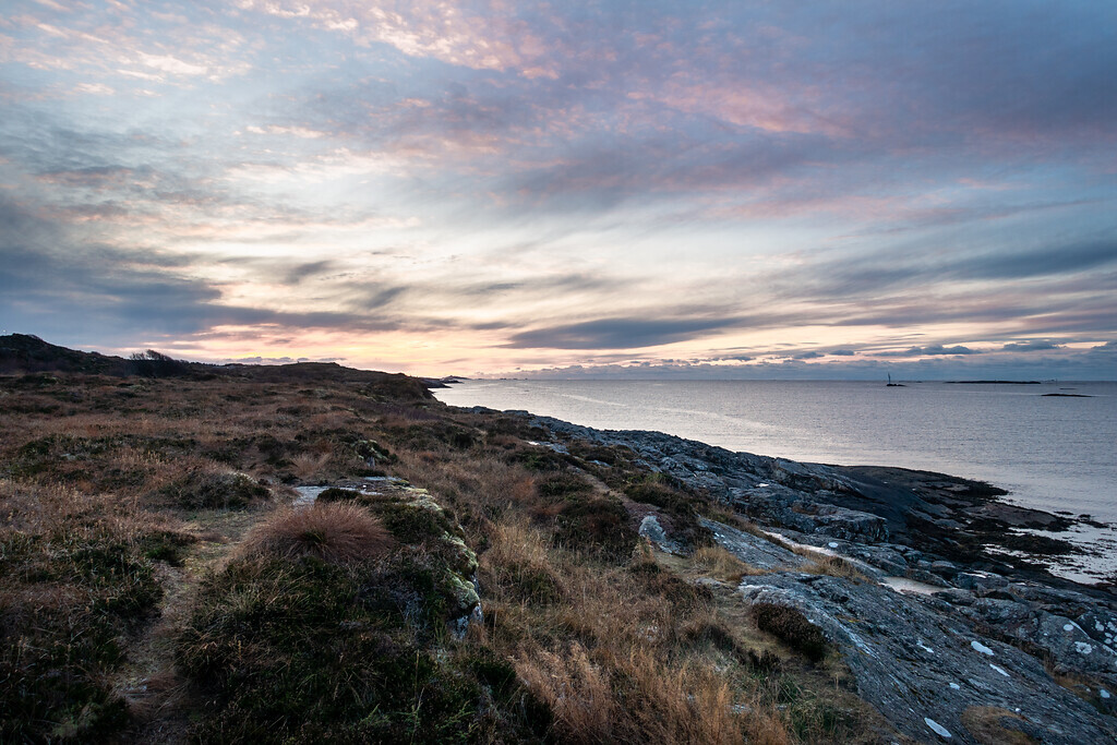
Kjeksa is a rest area just north of the fishing village of Bud, with a wide view over the shipping lane and Hustadvika, one of Norway’s most notorious stretches of sea. Paths and steps lead down to the shore, where you can try your luck fishing from the rocks. Partly wheelchair accessible.
Bud is a few minutes away: the Ergan coastal fort with its museum, the Drågen smokehouse and boat trips to Bjørnsund and Ona make a good end – or start – to the Atlantic Road.


Weather & Northern Lights
Now
In 24 hours
Northern Lights Chances
Weather forecast from MET Norway (yr.no). An indication, not a promise: aurora activity over this place (NOAA) times the clear sky in the best three-hour window of the night (MET Norway). The next nights rest on the Kp forecast only. More: our Northern Lights Forecast and the Northern Lights Map.
Getting there
Kjeksa (Fagervika), 6430 Bud, Norway
Nearby
- Coop Prix BudNearest shop · 1,6 km
- DrivFuel1,6 km
- Toilets1,7 km
- BergsetNearest village1,4 km
- Vinmonopolet ElnesvågenNearest Vinmonopolet · 13 km
- Småge Ferry QuayNearest ferry15 km
- Vips CampingNearest campsite800 m
Data from OpenStreetMap (ODbL)
On the way
Road reports within 40 km and the nearest road cameras, from Statens vegvesen (NLOD). The pictures refresh every few minutes; the reports are put into English word by word. All road cameras
Reviews
Rate this place
You are, or have been here? Give it your stars.
Comments
Thank you! Your comment is shown once we have read it.
No comments yet.
Write a comment
Let us know your experience with this place -- did something change? Your comment is shown once we have read it.
Please write a few words.
Thank you -- that is enough for now. Please try again in an hour.