

Photos: Frid-Jorunn Stabell / Statens vegvesen · Nasjonale turistveger
Photos: Dominik QN, Karo K. · Unsplash
1 / 4Låtefossen – Hardanger
About
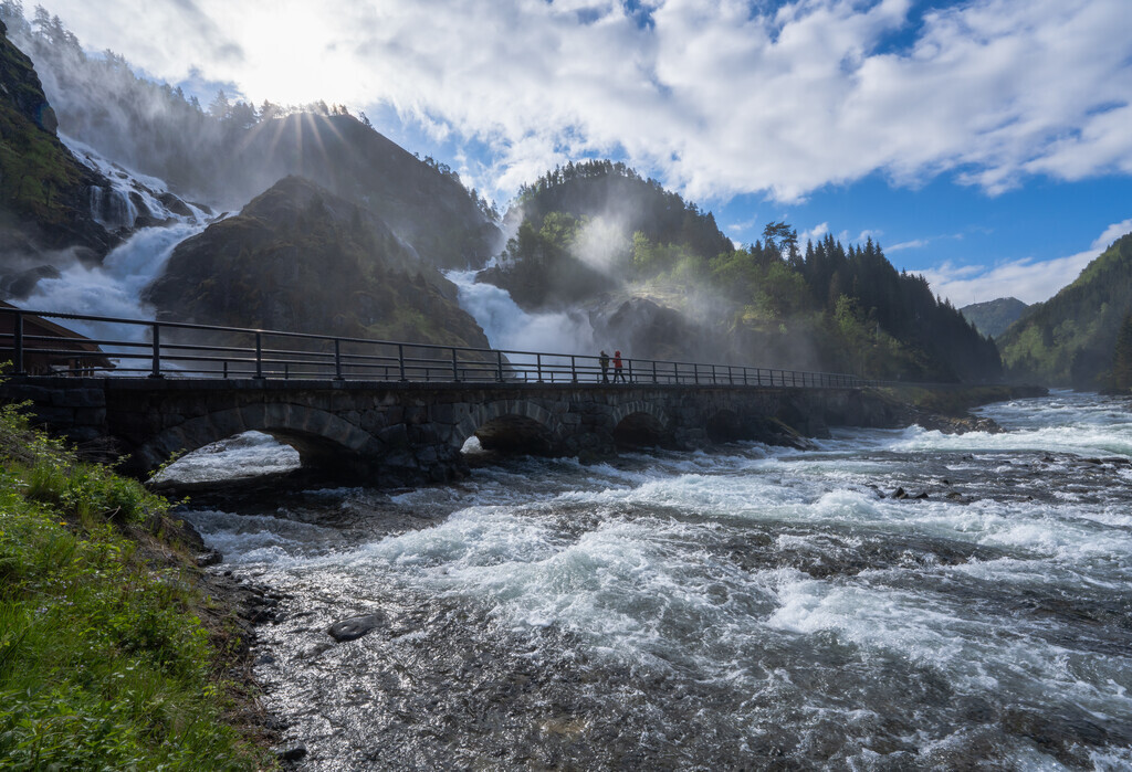
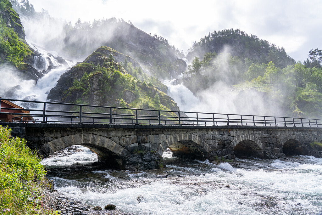
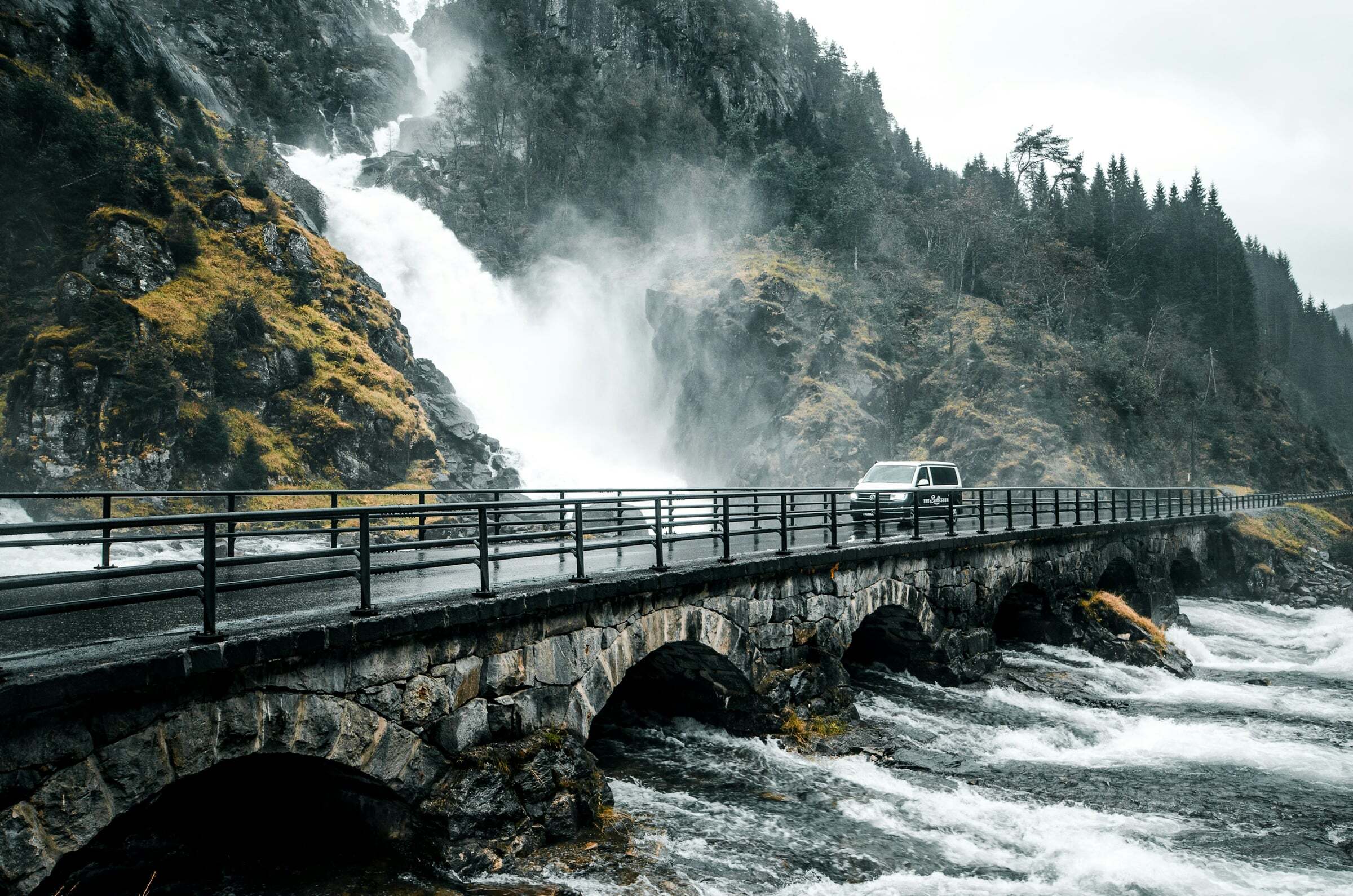
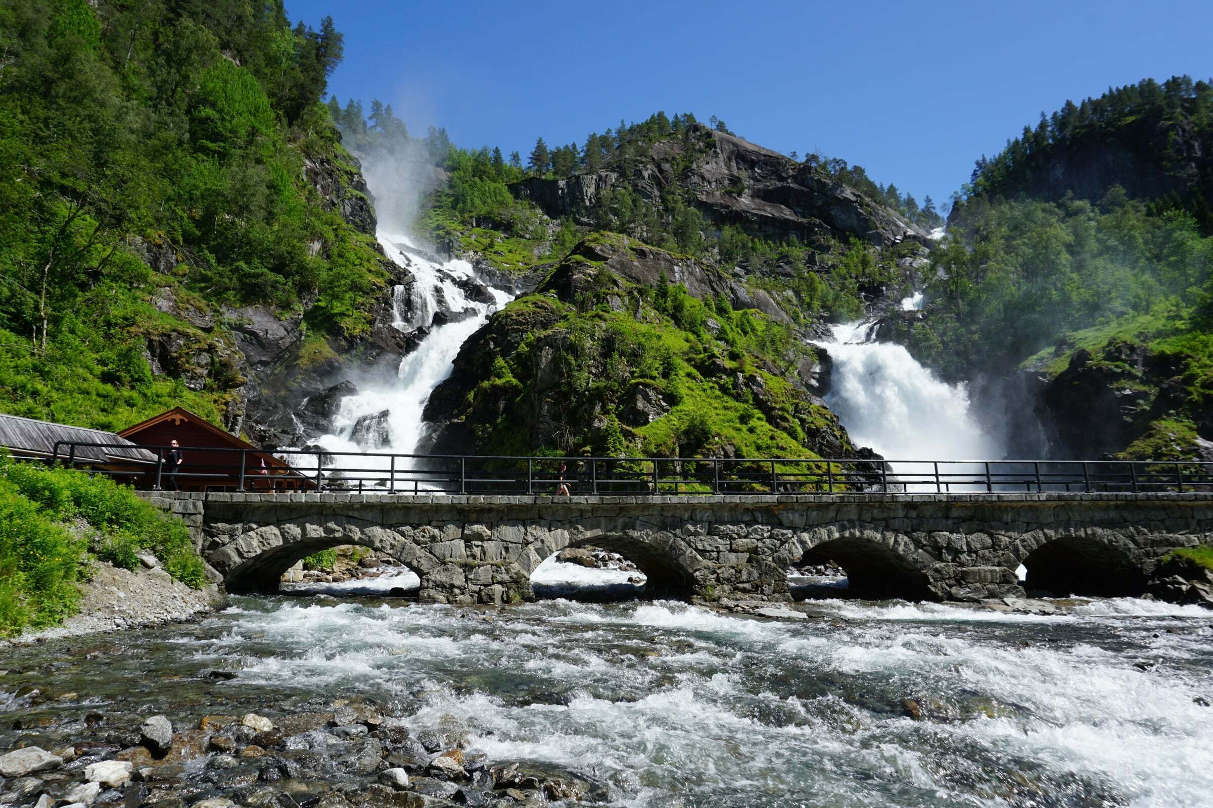
Låtefossen is one of Norway’s most photographed waterfalls: two streams from the lake Lotevatnet fall 165 metres, meet halfway down and rush under the six-arched stone bridge of Rv13, built in 1867–69 – you drive right through the spray. It lies in the narrow Oddadalen valley south of Odda, on the way to Røldal, and is a rest area of the National Tourist Route Hardanger. In the 19th century British and German travellers came all the way up the valley by horse and cart to see it.
Tips for campers: the viewing area is wheelchair accessible, but the pull-out is small and coaches stop here – early in the morning there is usually space, by early afternoon in July often not. Never stop on the bend or on the bridge. Take your photos from the side, not under the spray, and keep a cloth ready for the lens (and expect a wet windscreen). The water is at its fullest from late May to early July. Coming from Vøringsfossen, Låtefossen is the natural next waterfall.

Weather & Northern Lights
Now
In 24 hours
Northern Lights Chances
Weather forecast from MET Norway (yr.no). An indication, not a promise: aurora activity over this place (NOAA) times the clear sky in the best three-hour window of the night (MET Norway). The next nights rest on the Kp forecast only. More: our Northern Lights Forecast and the Northern Lights Map.
Getting there
Låtefossen, Rv13, Odda, Norway
Nearby
- Joker SkarsmoNearest shop · 1,4 km
- Toiletsright here
- OddaNearest town13 km
- Vinmonopolet OddaNearest Vinmonopolet · 14 km
- Årsnes Ferry QuayNearest ferry34 km
- Hildal CampingNearest campsite4,9 km
Data from OpenStreetMap (ODbL)
On the way
Road reports within 40 km and the nearest road cameras, from Statens vegvesen (NLOD). The pictures refresh every few minutes; the reports are put into English word by word. All road cameras
Reviews
Rate this place
You are, or have been here? Give it your stars.
Comments
Thank you! Your comment is shown once we have read it.
No comments yet.
Write a comment
Let us know your experience with this place -- did something change? Your comment is shown once we have read it.
Please write a few words.
Thank you -- that is enough for now. Please try again in an hour.