

Photos: Bjørn Christian Tørrissen (CC BY-SA 4.0), Richard Meurk (CC BY 2.0), Bjørn Christian Tørrissen (CC BY-SA 4.0) · Wikimedia Commons
1 / 3Møysalen National Park
Gale · yellow warning (for the sea along the coast)
Skomvaer - Loppa · Tue 03 Nov 18:00 – Wed 04 Nov 10:00
From Tuesday evening southwest near gale force 7, early Wednesday morning increasing to occasionally southwest gale force 8.
All warnings on yr.no · MET Norway
About
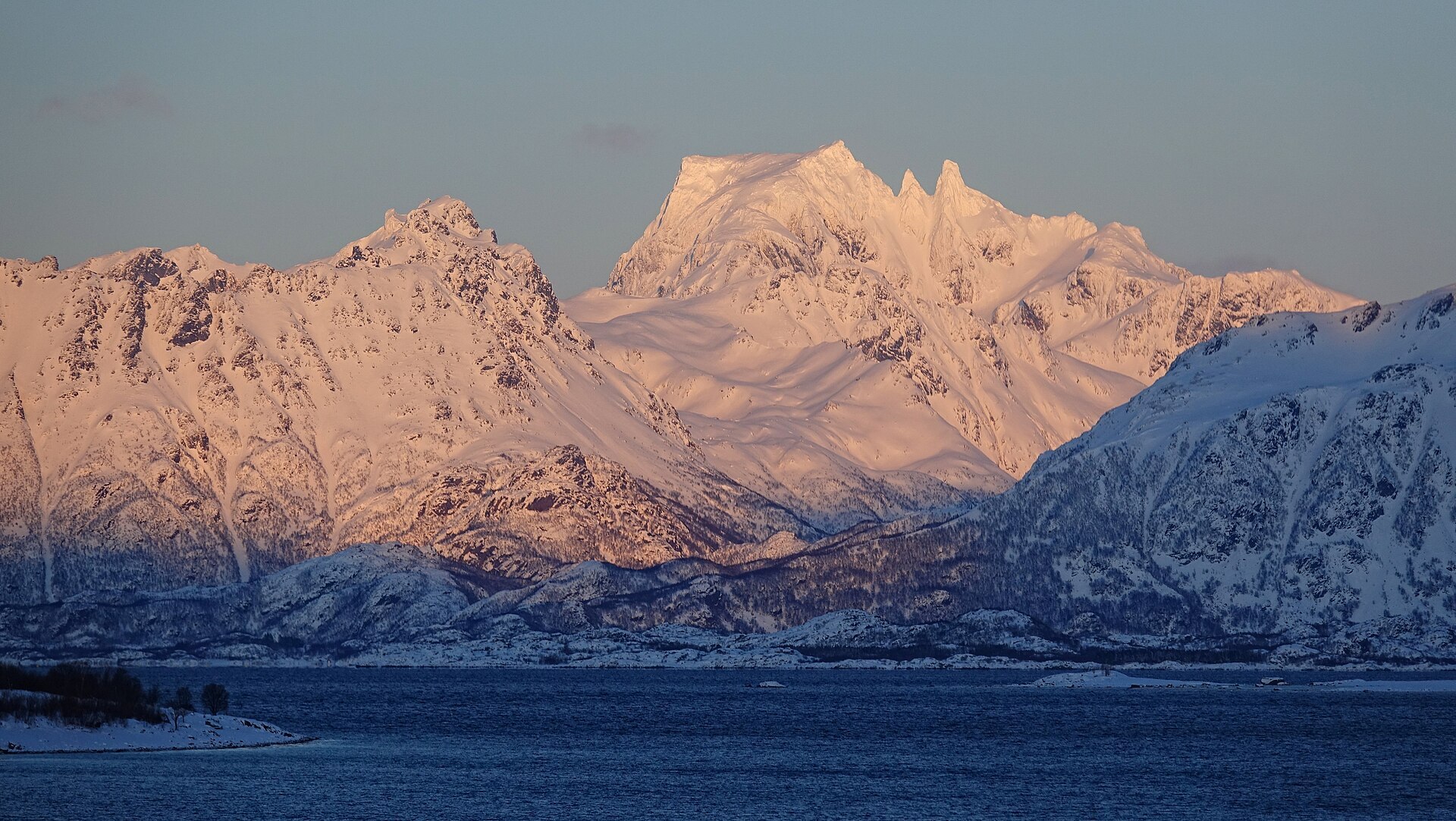
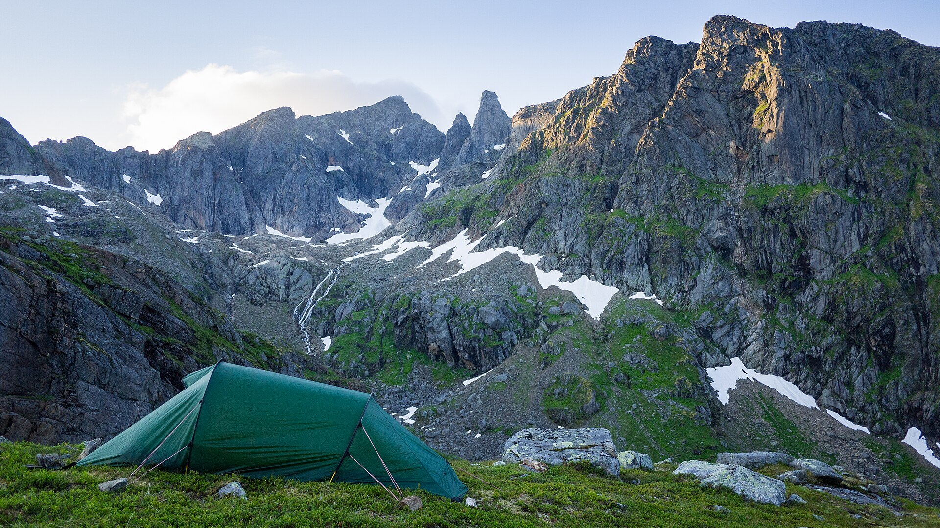
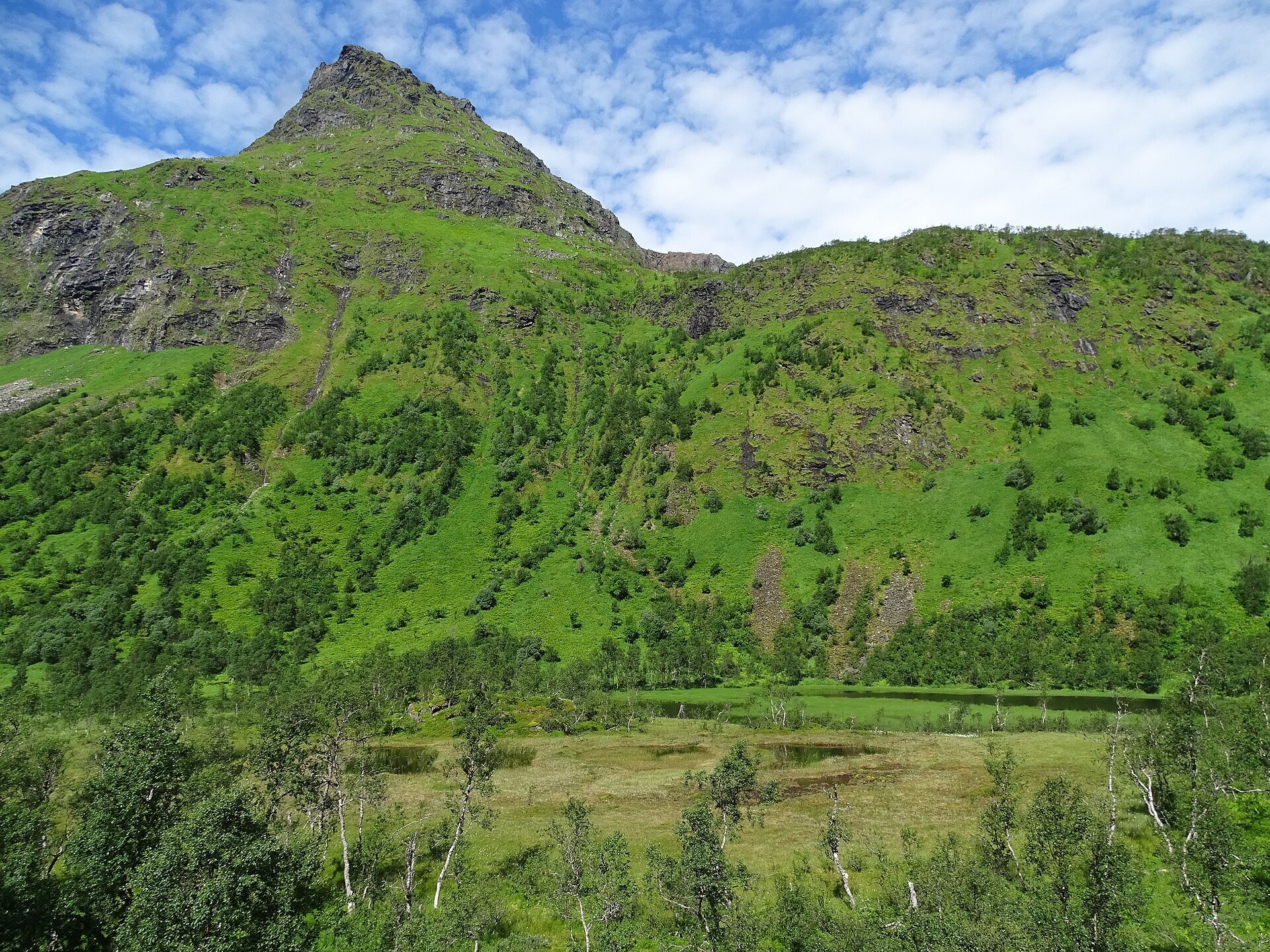
Møysalen is the mountain you keep seeing when you drive around Vesterålen, a broad saddle with two sharp spires beside it, visible from Hadselfjorden, Raftsundet and far out at sea. At 1.262 m it is the highest peak in Lofoten and Vesterålen, and among Norwegian islands only Langlitinden on Andørja is higher. A small glacier, Skavlen, sits on the summit, and another clings to the cirque on the south-west side. The park was set up in 2003 and is small, 51,2 km², running from the steep peaks down to the fjord arm Vestpollen, with a landscape protection area around it. Waterfalls streak the bare rock after rain, the valleys are green with birch and tall grass, and otters are common along the fjords. White-tailed eagles nest here too.
Local legend: the story goes that a troll family lived in Norddalen above Blokkenvatnet, with two daughters who loved to ride. Suitors came from all over, the son of the Stetind king in Tysfjorden with his salted herring and the son of the Kvæfjord troll with his almond potatoes. To keep his girls safe, the father carved a huge riding saddle out of the highest mountain on Hinnøya, and the rocks he threw away became the Feskholman islets in Sortlandssundet. But the daughters forgot to hide from the sun and turned to stone. They still stand next to the saddle as Store Møya and Lille Møya, and the parents' tears became the water in the valley. The name itself means something like the maidens' hall. Real history is close by too: an iron mine in Lonkanfjorden ran in the early 1900s, and on the way up you walk partly on the old railway line.
Visiting: the classic route starts from Lonkanfjorden, and the pin is the Møysalen national park centre at Hennes in Hadsel, with camping and a café, from where guided tours with a boat transfer have run every summer since the mid-1980s. The climb is long, and near the top the path is exposed with fixed chains, so first-timers are advised to join a group tour. There are only a few marked trails and no open cabins in the park. Vesterålen Turlag's Snytindhytta lies a couple of kilometres north of the park, with a marked trail from the E10. Drones are not allowed, and leave no rubbish. More on the park's official page. Nearby in our guide: Makkholmen and Melbu båtforening bobilcamp.

Weather & Northern Lights
Now
In 24 hours
Northern Lights Chances
Weather forecast from MET Norway (yr.no). An indication, not a promise: aurora activity over this place (NOAA) times the clear sky in the best three-hour window of the night (MET Norway). The next nights rest on the Kp forecast only. More: our Northern Lights Forecast and the Northern Lights Map.
Getting there
Møysalveien 3295, 8414 Hennes, Norway
Nearby
- Snarkjøp HennesNearest shopright here
- Toilets300 m
- StokmarknesNearest town13 km
- Vinmonopolet StokmarknesNearest Vinmonopolet · 14 km
- Lonkan Ferry QuayNearest ferry1,7 km
- Møysalen Nasjonalparksenter (MNS) CampingNearest campsite200 m
Data from OpenStreetMap (ODbL)
On the way
Road reports within 40 km and the nearest road cameras, from Statens vegvesen (NLOD). The pictures refresh every few minutes; the reports are put into English word by word. All road cameras
Reviews
Rate this place
You are, or have been here? Give it your stars.
Comments
Thank you! Your comment is shown once we have read it.
No comments yet.
Write a comment
Let us know your experience with this place -- did something change? Your comment is shown once we have read it.
Please write a few words.
Thank you -- that is enough for now. Please try again in an hour.