

Photos: Frid-Jorunn Stabell, Hilde M. Strangstadstuen, Henrik Duus / Statens vegvesen · Fishing bridges: Manthey Kula · Nasjonale turistveger
1 / 3Myrbærholmbrua – Atlantic Road
About
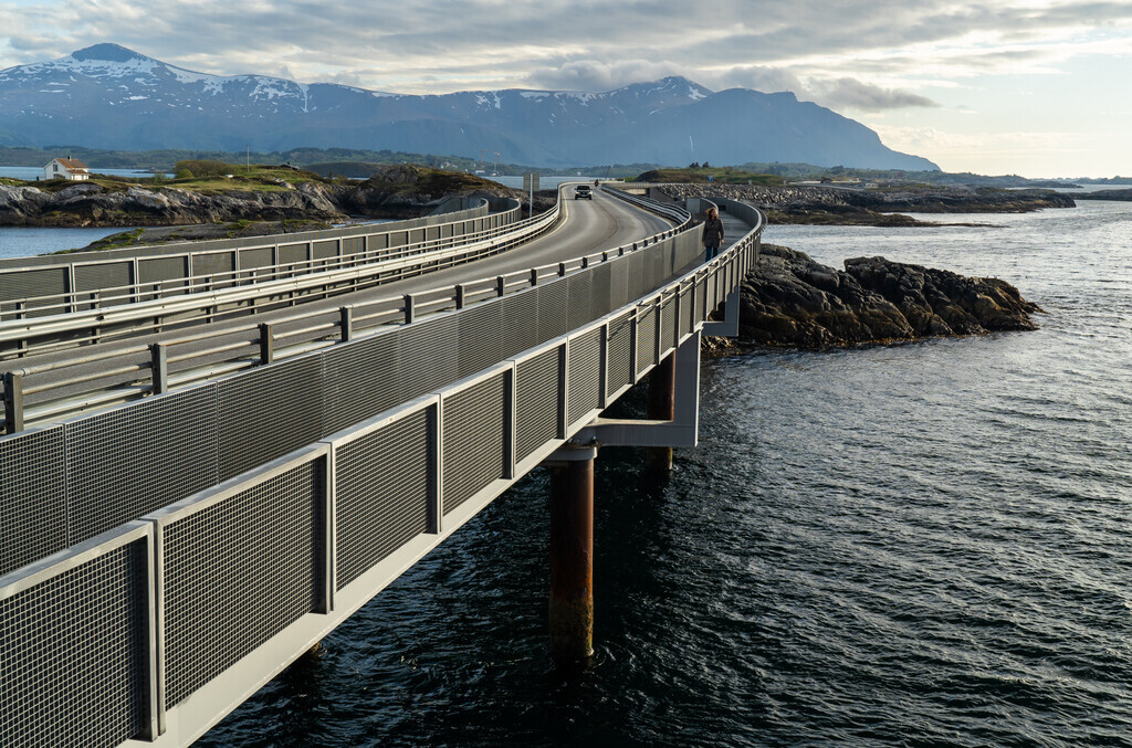
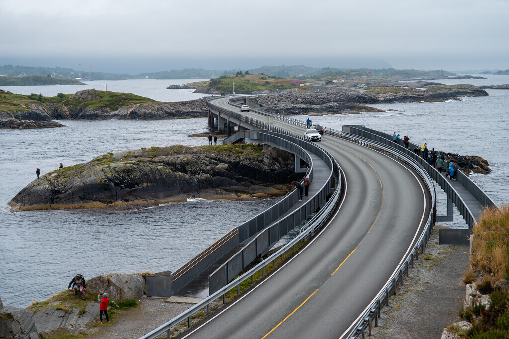
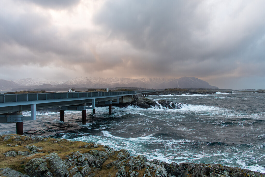
Fishing walkways run along both sides of Myrbærholmbrua, built so that anglers no longer have to stand on the road. In the strong tidal current cod, pollock, coalfish and mackerel bite. One walkway ends in a round platform with benches; on the other side, steps lead down to the rocks.
The car park is small and fills up quickly in summer – at busy times it is easier to park at Eldhusøya and walk over.


Weather & Northern Lights
Now
In 24 hours
Northern Lights Chances
Weather forecast from MET Norway (yr.no). An indication, not a promise: aurora activity over this place (NOAA) times the clear sky in the best three-hour window of the night (MET Norway). The next nights rest on the Kp forecast only. More: our Northern Lights Forecast and the Northern Lights Map.
Getting there
Myrbærholmbrua, Fv64, 6530 Averøy, Norway
Nearby
- Kiwi AtlanterhavsveienNearest shop · 4,3 km
- Toilets900 m
- GroravikaNearest village3,7 km
- Vinmonopolet BruhagenNearest Vinmonopolet · 15 km
- Seivika Ferry QuayNearest ferry28 km
- Lysøen rorbuerNearest campsite3,8 km
Data from OpenStreetMap (ODbL)
On the way
Road reports within 40 km and the nearest road cameras, from Statens vegvesen (NLOD). The pictures refresh every few minutes; the reports are put into English word by word. All road cameras
Reviews
Rate this place
You are, or have been here? Give it your stars.
Comments
Thank you! Your comment is shown once we have read it.
No comments yet.
Write a comment
Let us know your experience with this place -- did something change? Your comment is shown once we have read it.
Please write a few words.
Thank you -- that is enough for now. Please try again in an hour.