

Photos: Julia Velkova (CC BY 2.0), Josep M. Gracia (CC BY-SA 4.0), Aleksi Stenberg (CC BY-SA 4.0) · Wikimedia Commons
1 / 3Øvre Pasvik National Park
About
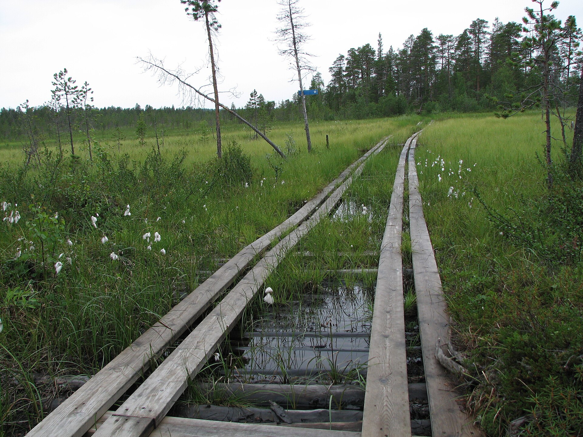
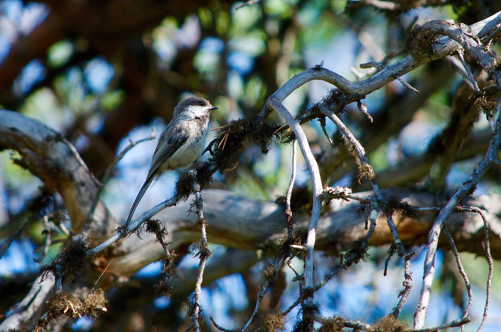
Øvre Pasvik feels more like Siberia than Norway. This is the north-western tip of the taiga: flat, quiet pine forest broken up by bogs and shallow lakes, squeezed between Finland and Russia about 100 km south of Kirkenes. It holds the largest old-growth pine forest in the country. Most of the pines are 300 to 400 years old, dead trees are left to stand and fall, and the oldest one on record was 820 years old when it was cut in 1896. About a fifth of the 119 km² park is water, Ellenvatnet and Ødevatnet are the biggest lakes, and the highest point, Kolfjellet, is only 260 m. Pasvik has the densest brown bear population in Norway, though you are far more likely to meet a Siberian jay or a pine grosbeak. In 2024 the park became Norway's first International Dark Sky Park.
Local knowledge: Getting the forest protected took more than 30 years. The writer and bird lover Carl Schøyen sent the first proposal to the Ministry of Agriculture in 1936, but the ministry wanted natural resources used, not protected, and stopped it. In 1951, the year Schøyen died, the Director of Forestry protected 70 km² of the forest on his own authority. Plans in the late 1960s for a highway up the valley to Ivalo in Finland got things moving again, the road was never built, and the national park was created on 6 February 1970. People used this forest long before that. Sámi lived in the area for centuries, and old pines where strips of bark were taken still show it.
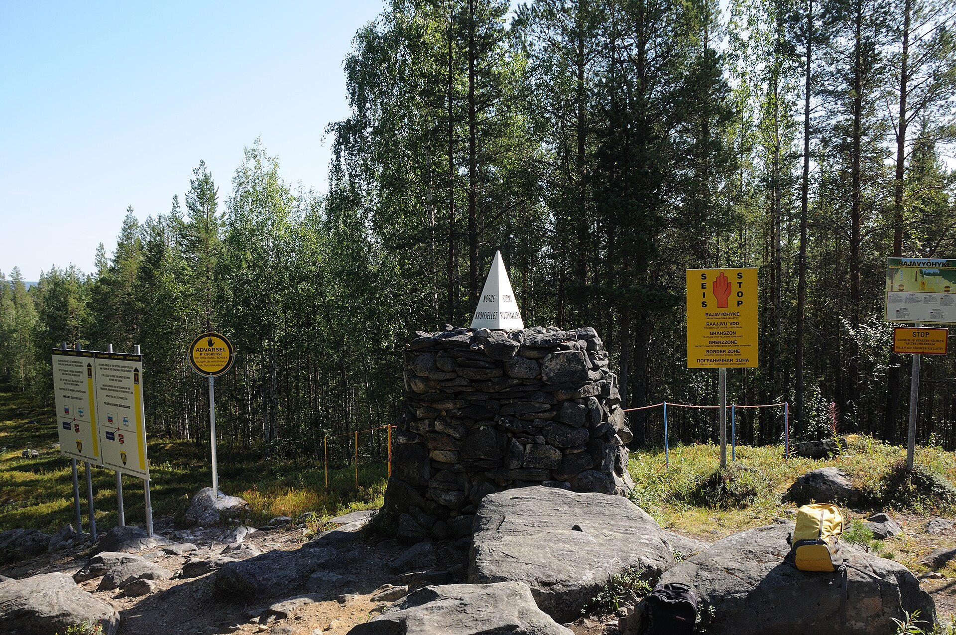
Visiting: the pin is the car park at Sortbrysttjern, the easiest way in. Turn off Rv885 about 2 km south of Vaggatem where it is signed for the national park and follow the gravel forest road about 9 km west. A marked trail runs 4,4 km from here to the open cabin Ellenkoia by Ellenvatnet and on another 6 km to Piilolahytta at the Finnish border. The most popular day walk starts further south at Grensefoss: a 5 km path along the Russian border to Treriksrøysa, the cairn where Norway, Finland and Russia meet. That road is rougher, so check conditions first. The border rules are strict: do not cross the line, throw anything over it or have contact with anyone on the other side. The forest roads are not cleared in winter, and there are no shops or fuel in Øvre Pasvik, so stock up at Svanvik. Bring a map and GPS, the flat forest is easy to get lost in. No drones, and no burning pine, not even the dry dead trees. Dogs on a lead 1 April to 20 August. The visitor centre at Svanhovd in Svanvik has an exhibition on the valley and its bears. More on the park's official page. Nearby in our guide: Treriksrøysa hike in Pasvik and Øvre Pasvik Camping.

Weather & Northern Lights
Now
In 24 hours
Northern Lights Chances
Weather forecast from MET Norway (yr.no). An indication, not a promise: aurora activity over this place (NOAA) times the clear sky in the best three-hour window of the night (MET Norway). The next nights rest on the Kp forecast only. More: our Northern Lights Forecast and the Northern Lights Map.
Getting there
Sortbrysttjern, Pasvikdalen, Sør-Varanger, Norway
Nearby
- Coop Marked SvanvikNearest shop · 53 km
- Toilets100 m
- Vinmonopolet KirkenesNearest Vinmonopolet · 76 km
Data from OpenStreetMap (ODbL)
On the way
Road reports within 40 km and the nearest road cameras, from Statens vegvesen (NLOD). The pictures refresh every few minutes; the reports are put into English word by word. All road cameras
Reviews
Rate this place
You are, or have been here? Give it your stars.
Comments
Thank you! Your comment is shown once we have read it.
No comments yet.
Write a comment
Let us know your experience with this place -- did something change? Your comment is shown once we have read it.
Please write a few words.
Thank you -- that is enough for now. Please try again in an hour.