

Photos: Karl Ragnar Gjertsen (CC BY-SA 4.0), Karl Ragnar Gjertsen (CC BY-SA 4.0), Karl Ragnar Gjertsen (CC BY-SA 4.0) · Wikimedia Commons
1 / 3Raet National Park
About
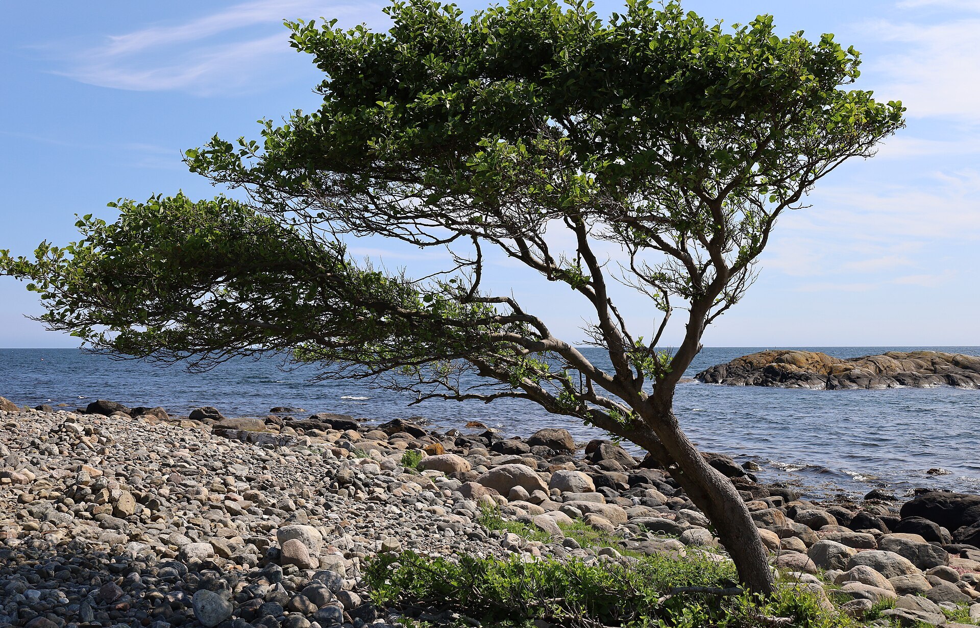
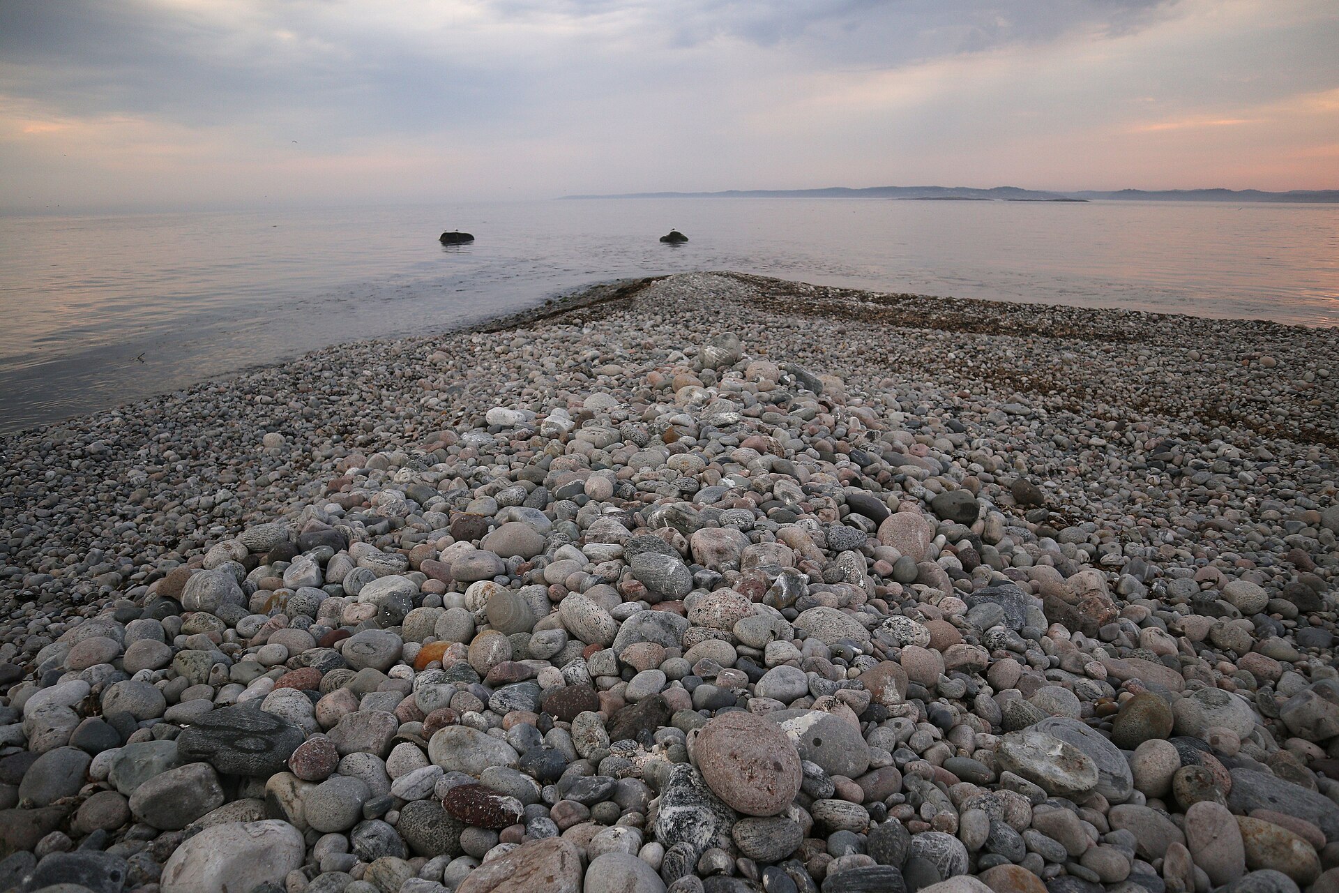
Raet is the only Norwegian national park named after a geological feature rather than a place. The Ra is the end moraine the great ice sheet left behind 11.000 to 12.000 years ago, a ridge of stones and gravel that runs under the sea along the coast and comes ashore here outside Arendal. On Tromøy it shows as one long pebble beach from Spornes to Hoveodden, with wind-bent trees behind it and smooth rock polished by the ice. The park was created in 2016 and covers 607 km², but 98 % of that is sea, with kelp forests on the underwater ridge and lobster reserves. The tiny island of Målen, east of Tromøy, is simply the top of the ridge sticking out of the water, nothing but loose round stones. On Hasseltangen in Grimstad there is a small beech wood that probably found its own way here from Denmark.
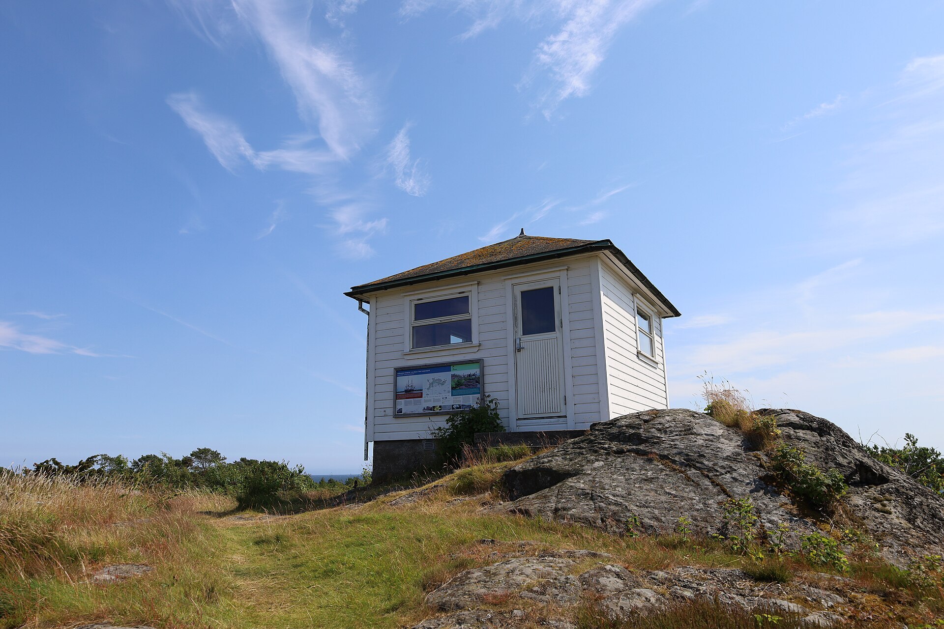
Local knowledge: just off Tromøy lies Merdø, for centuries one of the most important outer harbours on the Skagerrak coast. It is marked on Dutch sea charts from 1580, and the name probably comes from the Old Norse 'merd', a fish trap, because the harbour basin has the shape of one. Pilots kept watch from a small hut on the highest point, where two compass roses dated 1654 are carved into the rock. At the far west end is 'Gravene', where drowned sailors nobody knew were buried. In 1900 the island had 144 people. Steamships no longer needed the old outer harbours, the customs post closed in 1960 and the pilot station in 1971. The skipper's house from the early 1700s is now the Merdøgaard museum.
Visiting: the pin is the free car park at Spornes on Tromøy, next to the national park portal near Hove and Tromøy church. From here paths and small roads follow the outer coast both ways, and the coastal path around Hoveodden is the favourite loop, with fire pans at Hoveodden. Fires are not allowed on bare rock or pebbles. In summer ferries go from Pollen in Arendal to Hove and to Merdø. The park's visitor centre is in the Eureka building at Kunnskapshavna in Arendal, together with Vitensenteret Sørlandet, with a saltwater aquarium. To see the outer skerries and the lighthouses you need a boat or kayak. Parts of the park are closed in spring and summer for nesting seabirds, so look out for the signs. More: the park's official page and Raet National Park's own site.

Weather & Northern Lights
Now
In 24 hours
Northern Lights Chances
Weather forecast from MET Norway (yr.no). An indication, not a promise: aurora activity over this place (NOAA) times the clear sky in the best three-hour window of the night (MET Norway). The next nights rest on the Kp forecast only. More: our Northern Lights Forecast and the Northern Lights Map.
Getting there
Spornes, Tromøy, Arendal, Norway
Nearby
- Extra TromøytunetNearest shop · 3,0 km
- Toiletsright here
- ArendalNearest town5,7 km
- Vinmonopolet ArendalNearest Vinmonopolet · 5,8 km
- Risør Øisangbrygga Ferry QuayNearest ferry38 km
- Spornes BobilcampNearest motorhome park200 m
Data from OpenStreetMap (ODbL)
On the way
Road reports within 40 km and the nearest road cameras, from Statens vegvesen (NLOD). The pictures refresh every few minutes; the reports are put into English word by word. All road cameras
Reviews
Rate this place
You are, or have been here? Give it your stars.
Comments
Thank you! Your comment is shown once we have read it.
No comments yet.
Write a comment
Let us know your experience with this place -- did something change? Your comment is shown once we have read it.
Please write a few words.
Thank you -- that is enough for now. Please try again in an hour.