

Photos: Dpdanthony (CC BY 3.0), Oystein Engen (CC BY-SA 4.0), Geir Hval (CC BY-SA 4.0) · Wikimedia Commons
1 / 3Rondane National Park
About
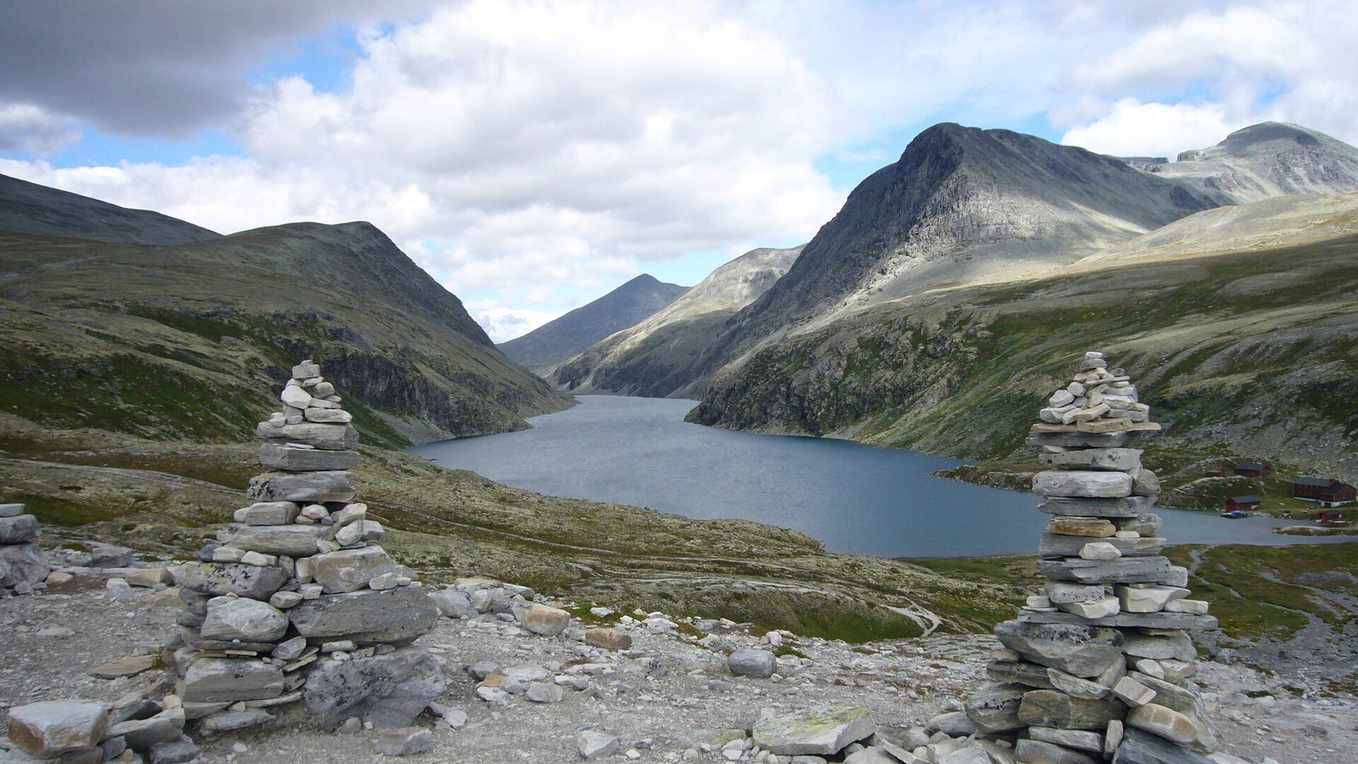
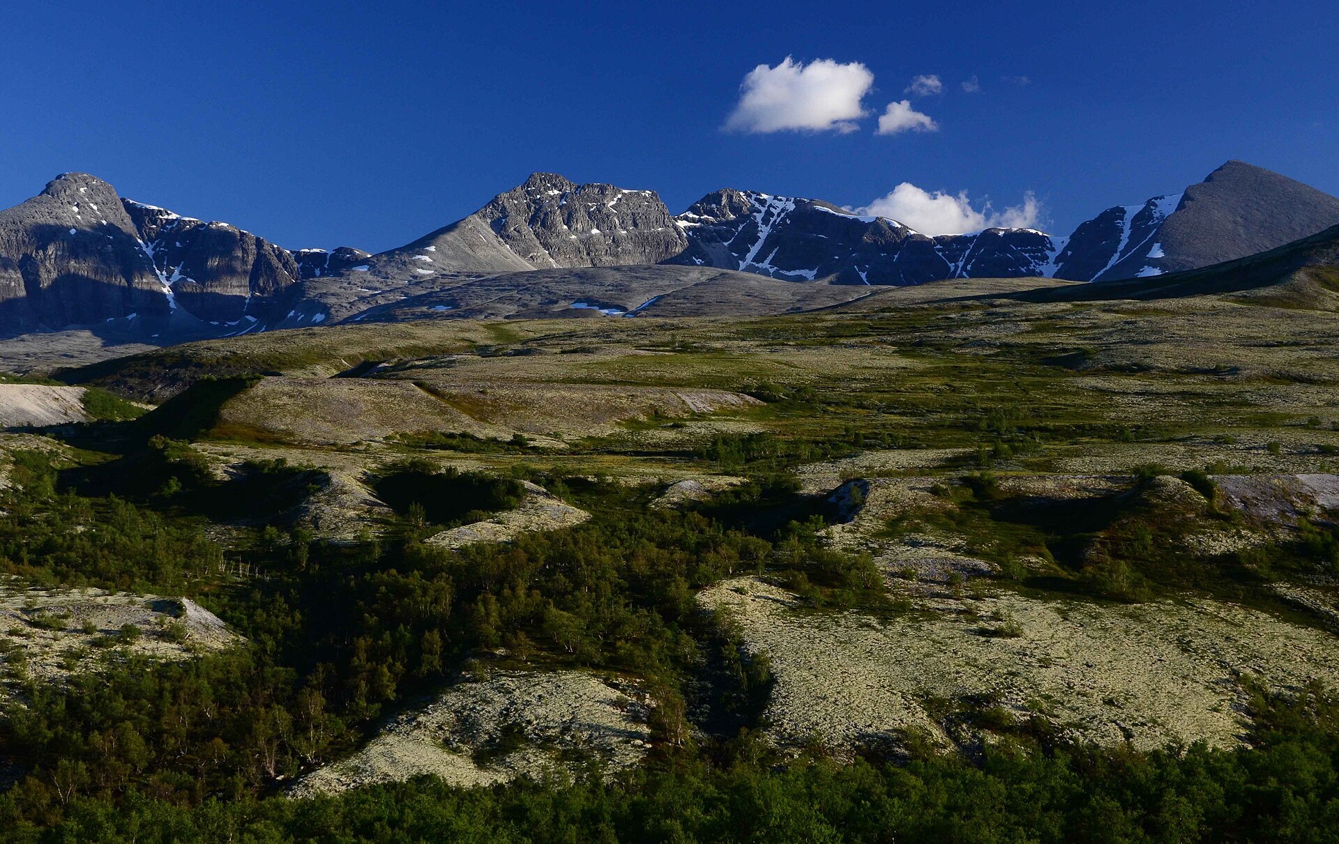
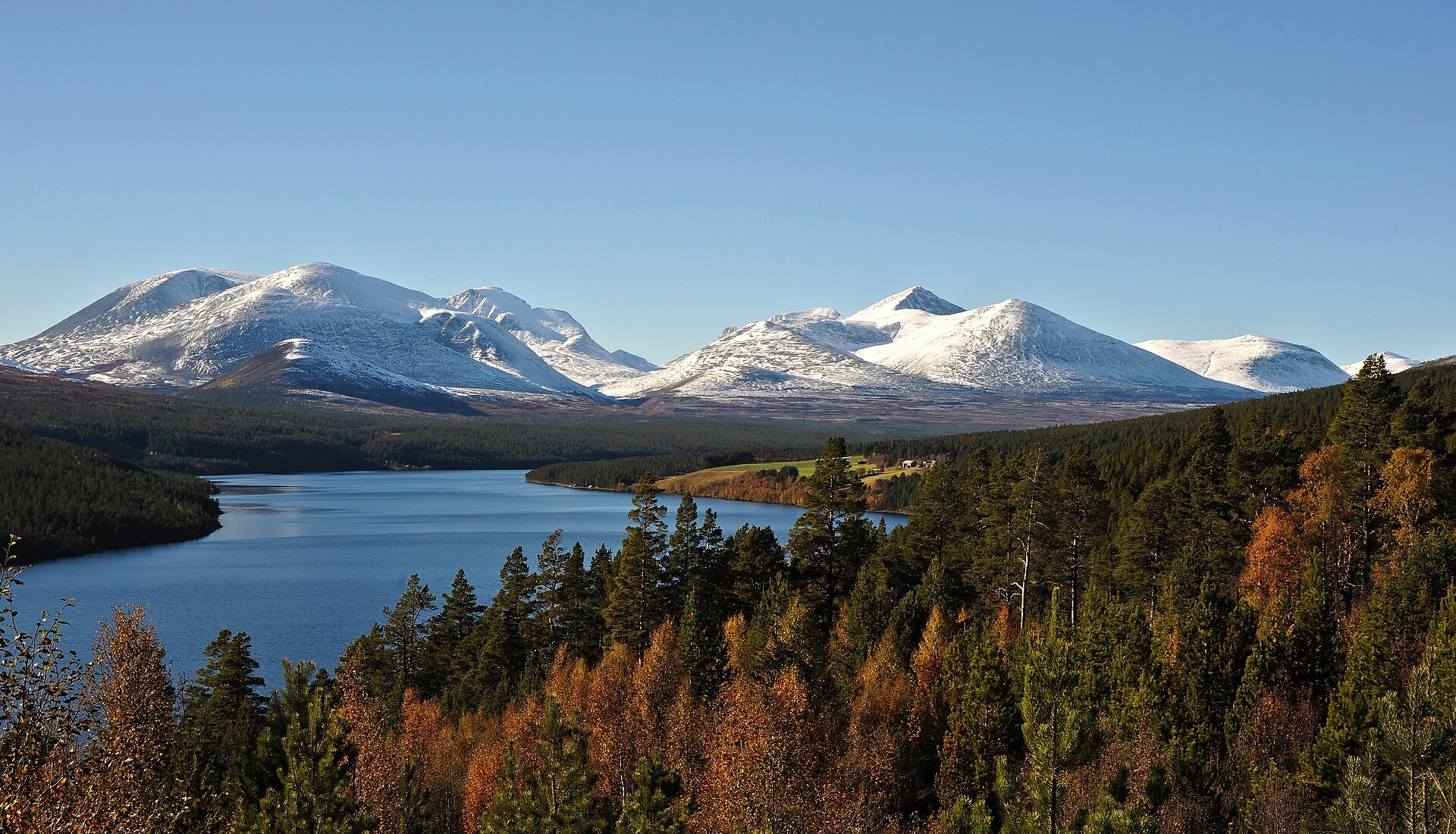
Rondane was the first national park in Norway, protected in 1962 and enlarged in 2003 to 963,5 km². It lies in Innlandet between Gudbrandsdalen and Østerdalen, and the peaks stand unusually close together: ten of them rise above 2.000 metres. The highest are Rondslottet (2.178 m) and Storronden (2.138 m) on the east side of Rondvatnet, a narrow lake squeezed between steep walls. The hard sandstone gives poor soil, so lichen takes over, more than anywhere else in the Norwegian mountains. It tints the whole landscape yellow-green and feeds one of the last wild reindeer herds in Europe.
Local knowledge: people have hunted reindeer here for thousands of years, and the traces are everywhere. Hunters dug pits and built long stone fences to steer the animals in. In some pits archaeologists found pointed wooden stakes meant to spear the reindeer, dated to the Viking Age. The trapping probably ended with the Black Death – none of the systems is ever mentioned in written sources. The clearest pits are about a kilometre east of Rondvassbu, along the path through Illmanndalen towards Bjørnhollia. Rondane also has a place in every Norwegian's head thanks to the poet Aasmund Olavsson Vinje, who saw these mountains on his travels in the summer of 1860 and wrote "Ved Rundarne". Grieg later set it to music, and the first line, "No ser eg atter slike fjell og dalar", is still sung today.
Visiting: from Otta on the E6, drive up to Mysusæter and on along the toll road (NOK 50) to the Spranget car park, where the pin is. Since July 2026 parking there is banned from 23:00 to 06:00, and DNT asks overnight guests to park at Mysusæter and take the summer shuttle bus. From Spranget a 6 km gravel road leads to Rondvassbu, the DNT lodge from 1903 at the end of Rondvatnet: about 1,5 hours on foot, or rent a bike at the car park. From the lodge a marked trail climbs Rondslottet, and in summer a boat crosses the lake. In winter you ski in from Letruds parking at Mysusæter. No motor traffic in the park, e-bikes included, and keep your distance from reindeer. On the east side, near the park on Fv27, the Sohlbergplassen viewpoint looks across Atnsjøen to the peaks Harald Sohlberg painted in "Winter Night in Rondane". Changes at Spranget are being discussed for 2027, so check DNT's page before you go. More on the park's official page.

Weather & Northern Lights
Now
In 24 hours
Northern Lights Chances
Weather forecast from MET Norway (yr.no). An indication, not a promise: aurora activity over this place (NOAA) times the clear sky in the best three-hour window of the night (MET Norway). The next nights rest on the Kp forecast only. More: our Northern Lights Forecast and the Northern Lights Map.
Getting there
Spranget, Sel, Norway
Nearby
- Mysuseter fjellbutikkNearest shop3,9 km
- OttaNearest town13 km
- Vinmonopolet OttaNearest Vinmonopolet · 12 km
- MysusæterNearest motorhome park3,8 km
Data from OpenStreetMap (ODbL)
On the way
Road reports within 40 km and the nearest road cameras, from Statens vegvesen (NLOD). The pictures refresh every few minutes; the reports are put into English word by word. All road cameras
Reviews
Rate this place
You are, or have been here? Give it your stars.
Comments
Thank you! Your comment is shown once we have read it.
No comments yet.
Write a comment
Let us know your experience with this place -- did something change? Your comment is shown once we have read it.
Please write a few words.
Thank you -- that is enough for now. Please try again in an hour.