

Photos: Rüdiger Stehn (CC BY-SA 2.0), Rüdiger Stehn (CC BY-SA 2.0), Kristian Sivertsen, Statskog Fjelltjenesten (CC BY-SA 2.0) · Wikimedia Commons
1 / 3Saltfjellet-Svartisen National Park
About
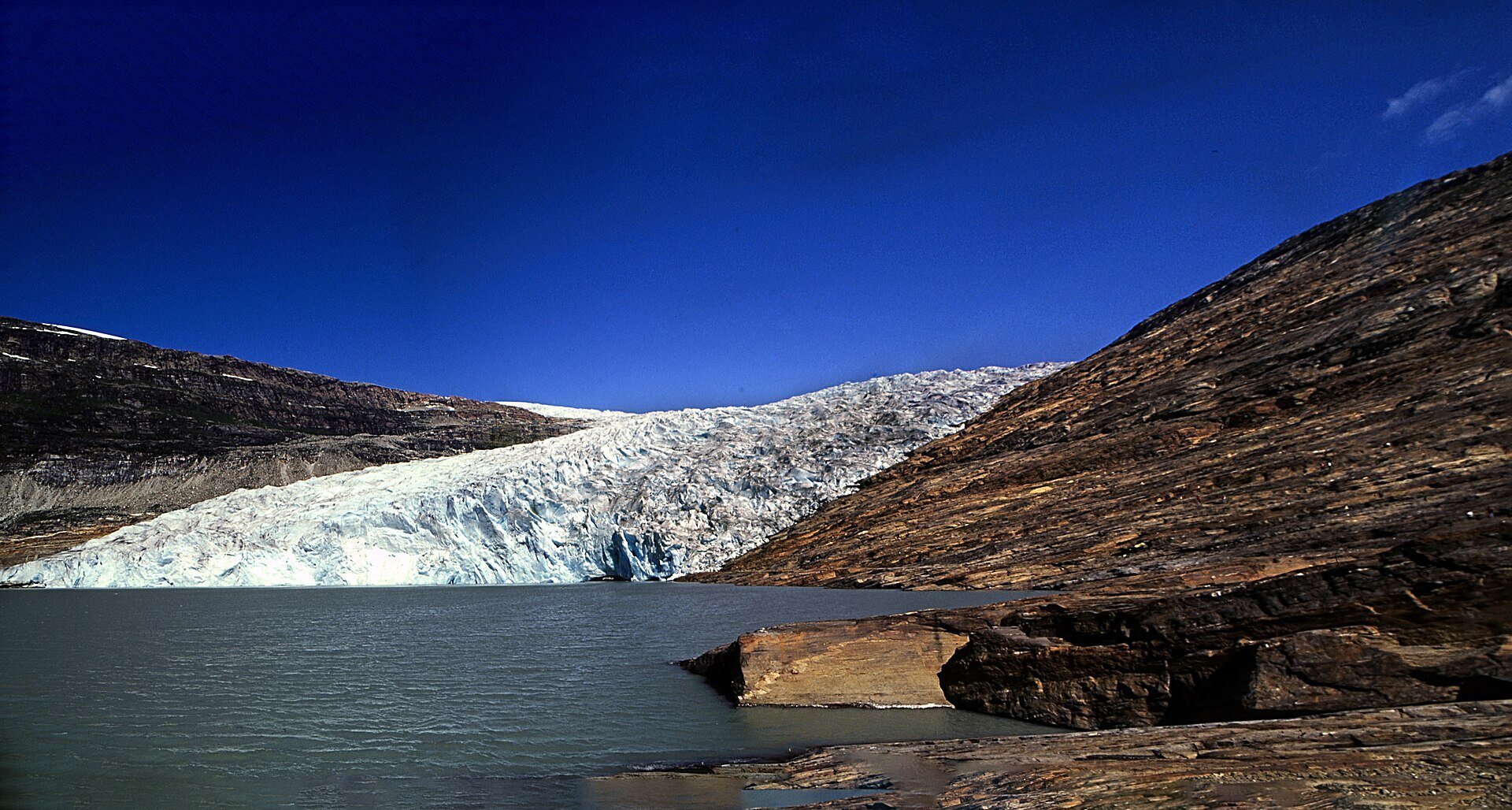
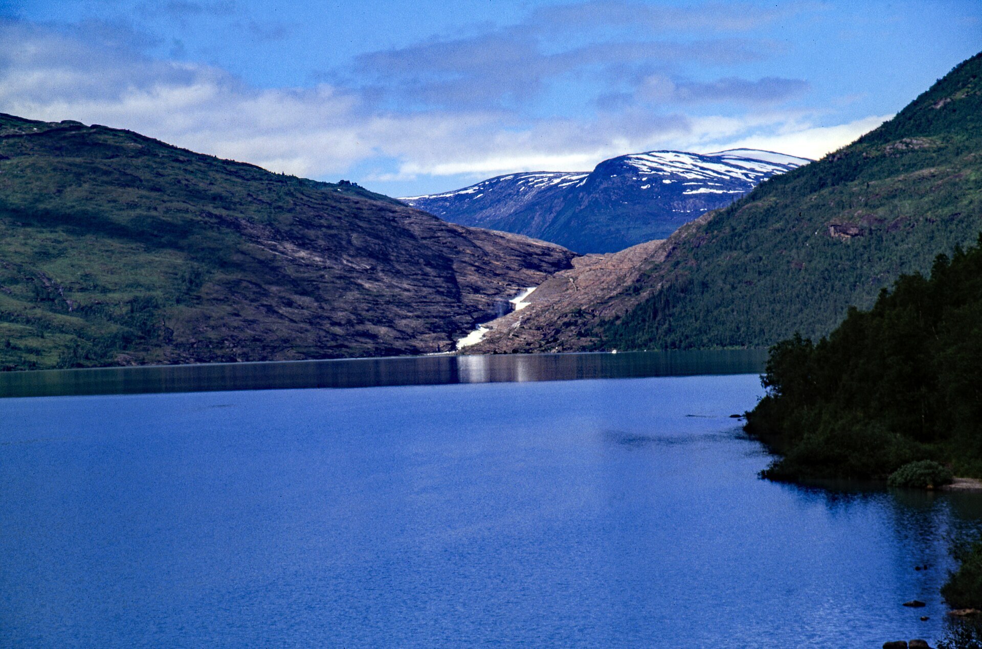
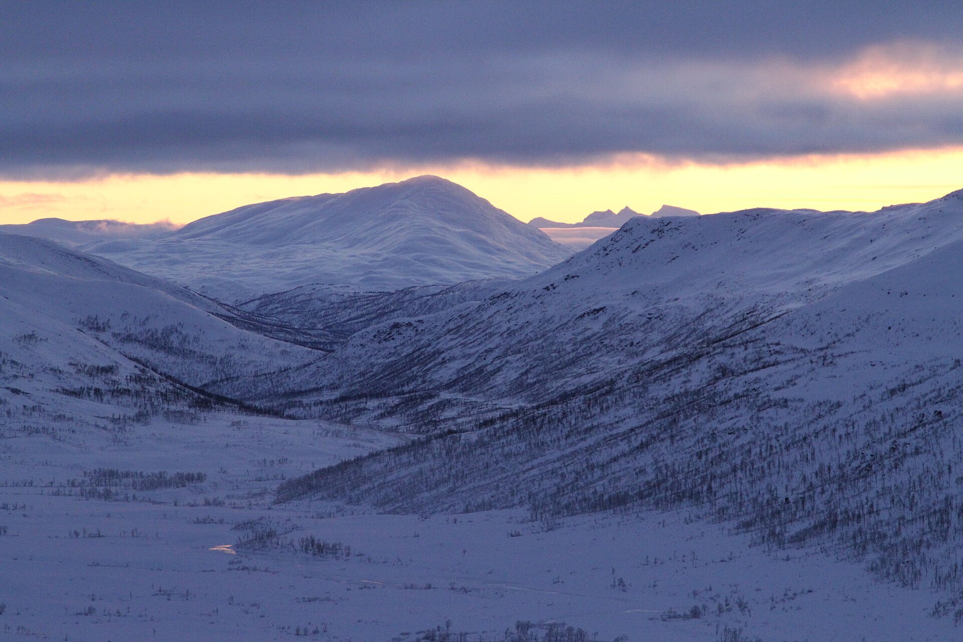
This is the park where Nordland stays protected all the way from the fjords to the Swedish border. In the west lies Svartisen, Norway's second largest glacier, about 370 km² of ice with arms reaching down towards the fjord. The Arctic Circle runs right across it. East of the ice the land changes completely: Saltfjellet is a high, open plateau with broad valleys, lime-rich ground full of flowers and caves in the limestone. One of Norway's largest populations of arctic fox lives here, and Sámi herders move their reindeer between the coast and the border every year. The park was created in 1989 and covers 2.192 km².
Local knowledge: the park came only after a fight of about 50 years between conservation and hydropower interests, and the final borders were a compromise. But people have used this land far longer. Sámi cultural remains here go back to the 800s: sacrificial sites, trapping pits and fences for driving reindeer. Leave stones and old structures exactly as you find them. From 1867 a telegraph line was built across Saltfjellet between Rana and Salten to link the north of Norway with the south. You can still walk the 61 km telegraph route past about 1.000 old pole foundations and the stone huts the builders lived in.
Visiting: from the E6 north of Mo i Rana, take the exit towards Røssvoll and the airport and follow Svartisdalveien to the end. The last part is a private toll road. The pin is the big car park at Svartisvatnet, which has room for motorhomes, toilets and a kiosk in summer. From mid-June to August a small boat crosses the lake in 10 to 20 minutes, then a walk of about 3 km over bare rock leads up to a viewpoint and shelter facing the glacier arm Austerdalsisen. Do not walk out onto the ice without a guide. There is no mobile coverage up there, and the weather turns fast. For a short outing on another day, Marmorslottet in Glomdalen is a river-polished marble gorge inside the park, 1,2 km from its car park on a steep path. Take your shoes off on the marble and keep away from the strong current. More on the park's official page. Nearby in our guide: Svartisen Glacier – Engabreen and Austerdalsisen.

Weather & Northern Lights
Now
In 24 hours
Northern Lights Chances
Weather forecast from MET Norway (yr.no). An indication, not a promise: aurora activity over this place (NOAA) times the clear sky in the best three-hour window of the night (MET Norway). The next nights rest on the Kp forecast only. More: our Northern Lights Forecast and the Northern Lights Map.
Getting there
Svartisvatnet, Svartisdalveien, Rana, Norway
Nearby
- Joker RøssvollNearest shop · 16 km
- Toiletsright here
- Vinmonopolet Mo i RanaNearest Vinmonopolet · 21 km
- Sørfjorden Ferry QuayNearest ferry40 km
- Røssvoll CampingNearest campsite16 km
Data from OpenStreetMap (ODbL)
On the way
Road reports within 40 km and the nearest road cameras, from Statens vegvesen (NLOD). The pictures refresh every few minutes; the reports are put into English word by word. All road cameras
Reviews
Rate this place
You are, or have been here? Give it your stars.
Comments
Thank you! Your comment is shown once we have read it.
No comments yet.
Write a comment
Let us know your experience with this place -- did something change? Your comment is shown once we have read it.
Please write a few words.
Thank you -- that is enough for now. Please try again in an hour.