

Photos: Øivind H. Solheim (CC BY-SA 4.0), Trondhjems Turistforening (CC BY-SA 3.0), Havardtl (CC BY 4.0) · Wikimedia Commons
1 / 3Skarvan og Roltdalen National Park
About
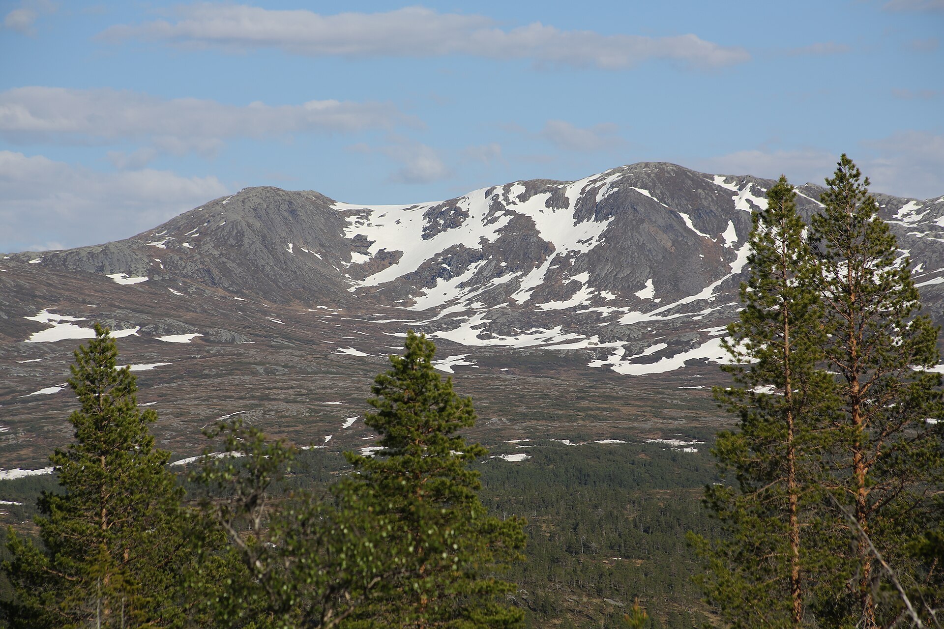
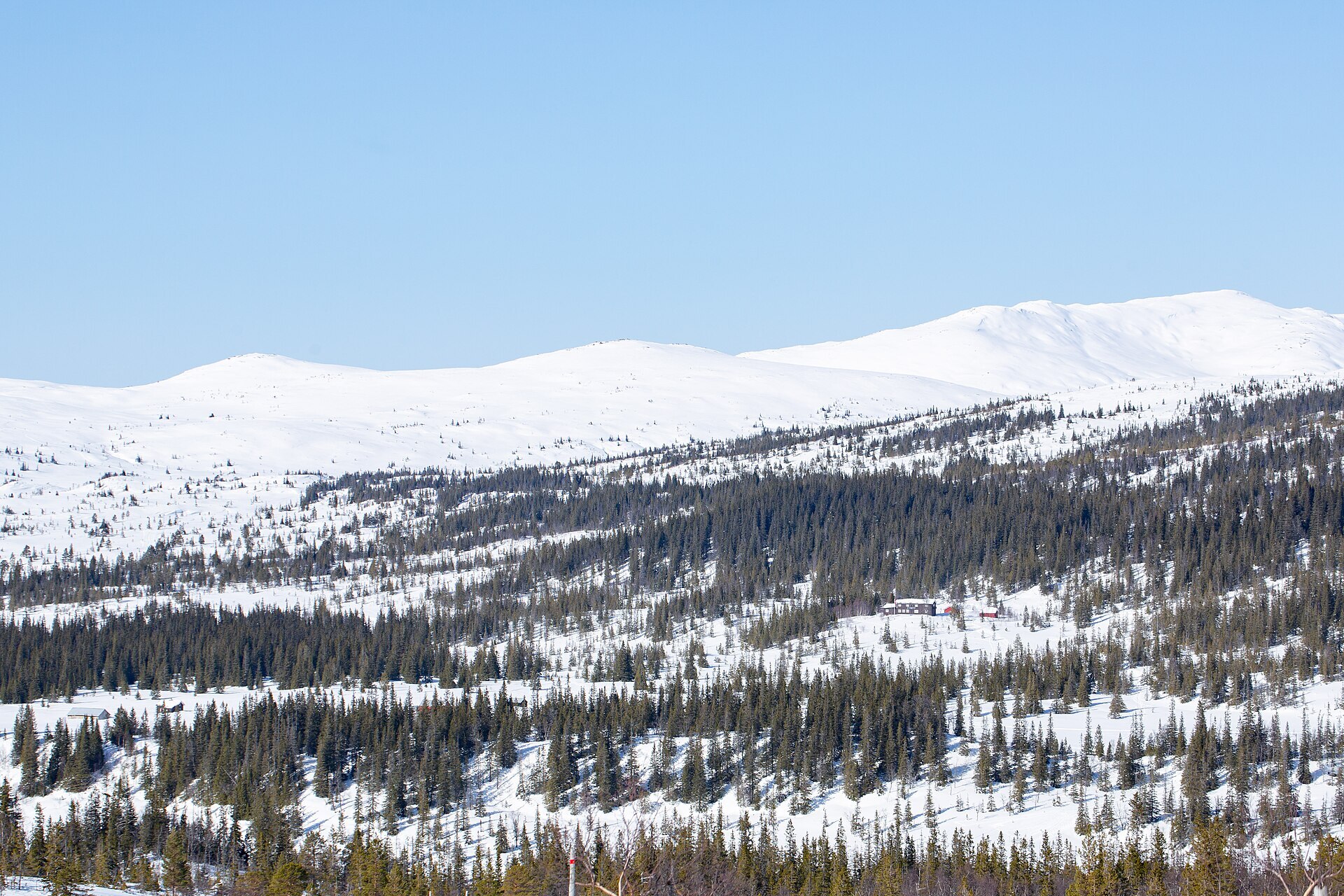
East of Trondheim, between Selbu, Tydal and Meråker, the roads stop and you get a big block of forest, bog and bare mountain. In the north the Skarvan massif with Storskarven (1.171 m) stands over everything, and in the southeast a ridge runs from Ruten to Fongen, at 1.441 m the highest point. In between lies Roltdalen, the largest roadless valley in old Sør-Trøndelag, with heavy spruce forest where many trees are over 200 years old. The park was protected in 2004 and covers 441 km². Sámi reindeer herders use it all year, so you may see reindeer here even in winter.
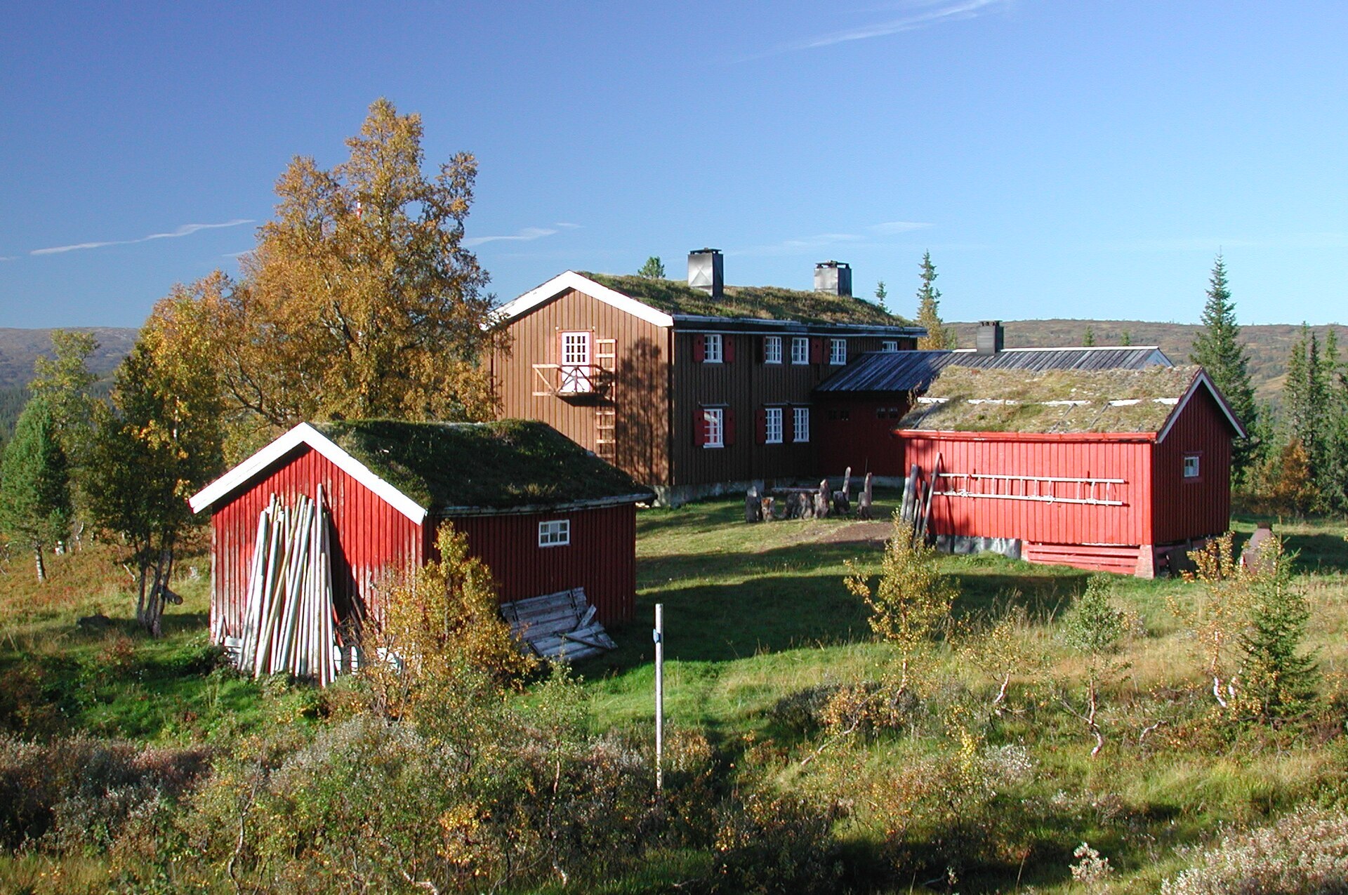
Local knowledge: this looks like wilderness, but it was a workplace for centuries. Selbu was famous for its millstones, and more than 1.000 quarries run in a line for some 30 km from Skarvan down to Bukkhammeren. According to the park's brochure, almost all grain in Norway was ground on stone from here in the 1800s. The men worked the quarries in winter and drove the stones by horse and sleigh to the market in Røros. The last quarry closed in 1914. Since 2012 a local club, Selbu Lasskjørerlag, has taken millstones to the Røros winter market again, by sleigh along the old routes. Down in Roltdalen the old summer farms still sit as clearings in the forest. Farms from the villages around kept animals there and floated timber down the Rotla river from the 1600s until the 1960s, and at Stormoen, by Schulzhytta, there are slag heaps from iron making about 1.800 years ago.
Visiting: the main entrance is the Vekta car park by Lake Stråsjøen, reached from Selbu on the toll road Børdalsvegen. It is big and ploughed in winter. The marked trail heads through Stråsjøen-Prestøyan nature reserve to the self-service hut Prestøyhytta. Schulzhytta in the middle of the park is a long day's walk in and is staffed in summer and at Easter. Most of the old quarries lie southeast of Vekta, and they are protected, so leave the stones where they are. Prestøyhytta and Schulzhytta, 16 km apart, are both on the DNT route across Norway from Stjørdal to the Swedish border. Cycling, e-bikes and drones are not allowed, and the reindeer are easily disturbed, so keep your dog close. More on the park's official page. Nearby in our guide: Græslifoss Camping in Tydal.

Weather & Northern Lights
Now
In 24 hours
Northern Lights Chances
Weather forecast from MET Norway (yr.no). An indication, not a promise: aurora activity over this place (NOAA) times the clear sky in the best three-hour window of the night (MET Norway). The next nights rest on the Kp forecast only. More: our Northern Lights Forecast and the Northern Lights Map.
Getting there
Vekta, Selbu, Norway
Nearby
- Spar B. LangsethNearest shop · 8,6 km
- MebondenNearest village13 km
- Vinmonopolet SelbuNearest Vinmonopolet · 13 km
- Levanger Ferry QuayNearest ferry51 km
- Selbu CampingNearest campsite8,8 km
Data from OpenStreetMap (ODbL)
On the way
Road reports within 40 km and the nearest road cameras, from Statens vegvesen (NLOD). The pictures refresh every few minutes; the reports are put into English word by word. All road cameras
Reviews
Rate this place
You are, or have been here? Give it your stars.
Comments
Thank you! Your comment is shown once we have read it.
No comments yet.
Write a comment
Let us know your experience with this place -- did something change? Your comment is shown once we have read it.
Please write a few words.
Thank you -- that is enough for now. Please try again in an hour.