

Stabbursnes nature and culture trail
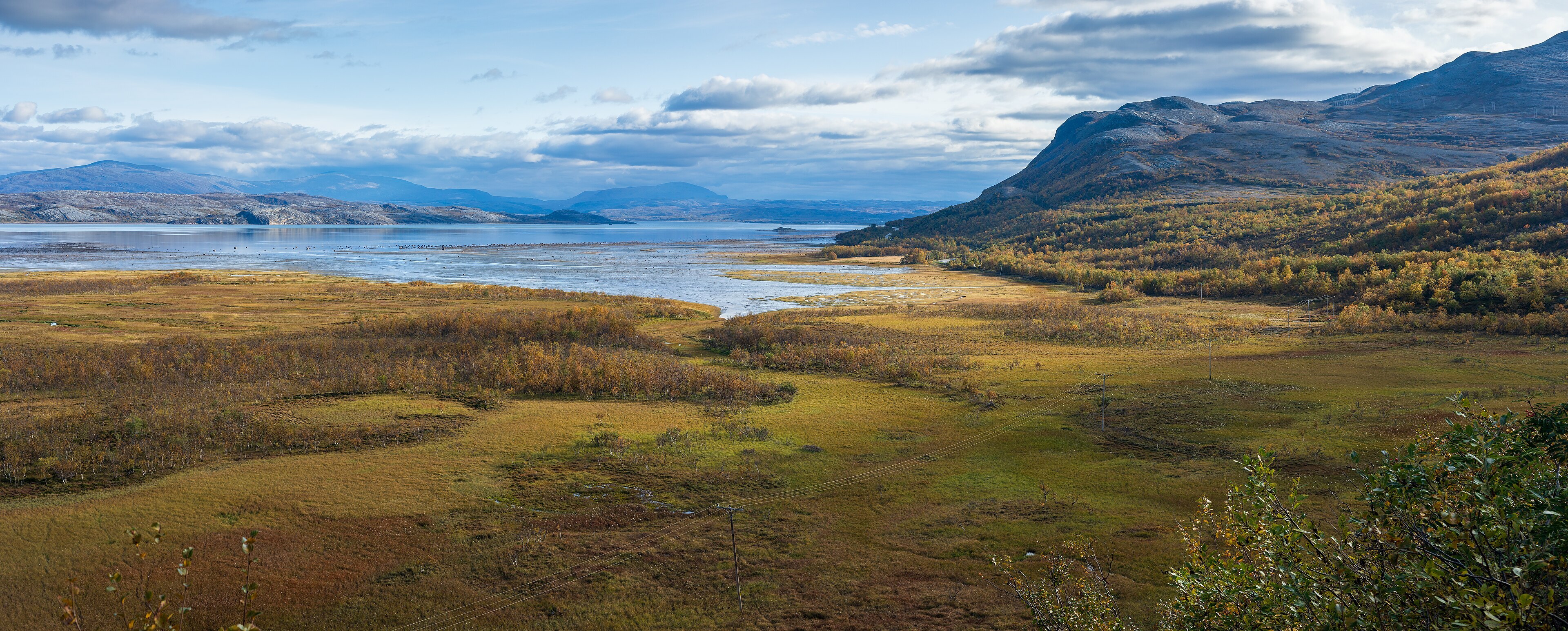
Photo: Ximonic (Simo Räsänen), CC BY-SA 4.0 (Wikimedia Commons)
Avalanche danger · Finnmarkskysten
No rating at the moment. NVE issues avalanche forecasts from December to May.
varsom.no · NVE
Weather
Now
In 24 hours
Weather forecast from MET Norway (yr.no).
Northern Lights Chances
An indication, not a promise: aurora activity over this place (NOAA) times the clear sky in the best three-hour window of the night (MET Norway). The next nights rest on the Kp forecast only. More: our Northern Lights Forecast and the Northern Lights Map.
Getting there
Stabbursnes, Porsanger Open in Google Maps
On the way
Road reports within 40 km and the nearest road cameras, from Statens vegvesen (NLOD). The pictures refresh every few minutes; the reports are put into English word by word. All road cameras

The Stabbursnes nature and culture trail is an easy walk at the mouth of the Stabbursdalen valley, by the Porsangerfjord. It is about 4,7 km each way and almost flat, climbing only about 25 metres. Plan about 3 hours both ways. The trail is graded Green: easy.
The trail starts at the car park at Stabbursnes, where parking is free. Most of the route goes through Stabbursdalen National Park, so keep to the rules for visitors there.
Nearby
- LakselvNearest town14 km
- Korsfjord Ferry QuayNearest ferry58 km
- Stabbursdalen ResortNearest campsite300 m
Data from OpenStreetMap (ODbL)