

Photos: Roger Ellingsen, Tonje Tjernet / Statens vegvesen · Architect: Jarmund/Vigsnæs AS · Nasjonale turistveger
Photos: Tobias Tullius · Unsplash
1 / 5Steinsdalsfossen – Hardanger
About
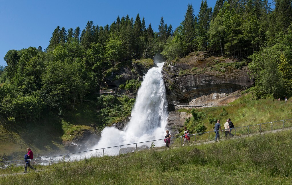
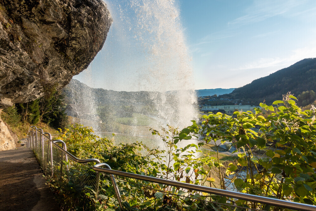
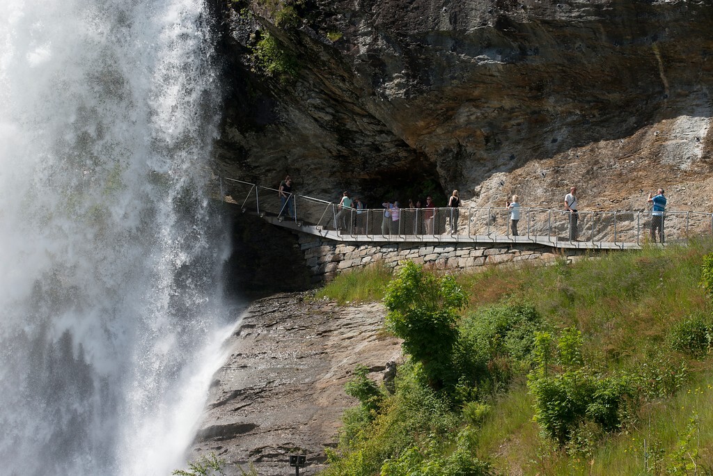
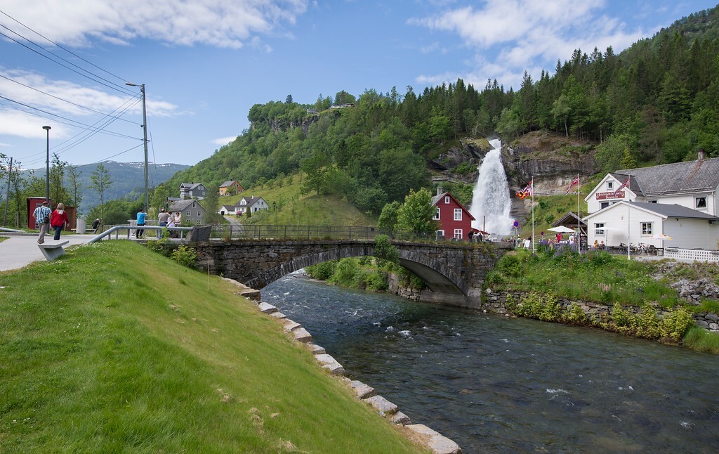
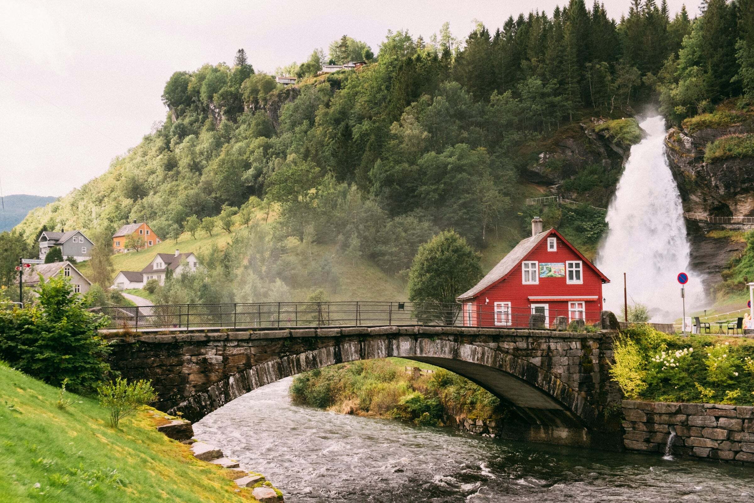
Steinsdalsfossen falls 46 metres (the main drop is 20 metres) at Øvsthus, about 2 km west of Norheimsund on the Hardangerfjord. It is far from Norway’s highest waterfall, but it is special: a path climbs the slope and leads right behind the cascade, so you stand in the roar of the water and stay (almost) dry. It is a rest area on the National Tourist Route Hardanger; the tourist office is in the unusual building by the car park and is open all summer.
When to come: the water is at its fullest in May and June, when the snow melts. Emperor Wilhelm II of Germany came here almost every summer from 1889 to 1914. Parts of the area, among them the path behind the waterfall, are closed in winter.
Tips for campers: plan 30–45 minutes. The rock and steps by the fall are wet and slippery – wear shoes with grip, not smooth trainers, and keep a cloth for the camera lens. The toilets are open from early May to late October; emptying the toilet of a motorhome or caravan is not allowed here. The area is partly wheelchair accessible. Coming from Bergen, it is a good first stop of the day on the way into Hardanger.


Weather & Northern Lights
Now
In 24 hours
Northern Lights Chances
Weather forecast from MET Norway (yr.no). An indication, not a promise: aurora activity over this place (NOAA) times the clear sky in the best three-hour window of the night (MET Norway). The next nights rest on the Kp forecast only. More: our Northern Lights Forecast and the Northern Lights Map.
Getting there
Steinsdalsfossen, Rv7, 5600 Norheimsund, Norway
Nearby
- Spar NorheimsundNearest shop · 1,8 km
- Haltbakk Express NorheimsundFuel700 m
- Toilets100 m
- ØvsthusNearest village100 m
- Vinmonopolet NorheimsundNearest Vinmonopolet · 2,1 km
- Tørvikbygd Ferry QuayNearest ferry8,5 km
- Hardanger FeriesenterNearest campsite4,7 km
Data from OpenStreetMap (ODbL)
On the way
Road reports within 40 km and the nearest road cameras, from Statens vegvesen (NLOD). The pictures refresh every few minutes; the reports are put into English word by word. All road cameras
Reviews
Rate this place
You are, or have been here? Give it your stars.
Comments
Thank you! Your comment is shown once we have read it.
No comments yet.
Write a comment
Let us know your experience with this place -- did something change? Your comment is shown once we have read it.
Please write a few words.
Thank you -- that is enough for now. Please try again in an hour.