

Storefjell hike in Honningsvåg
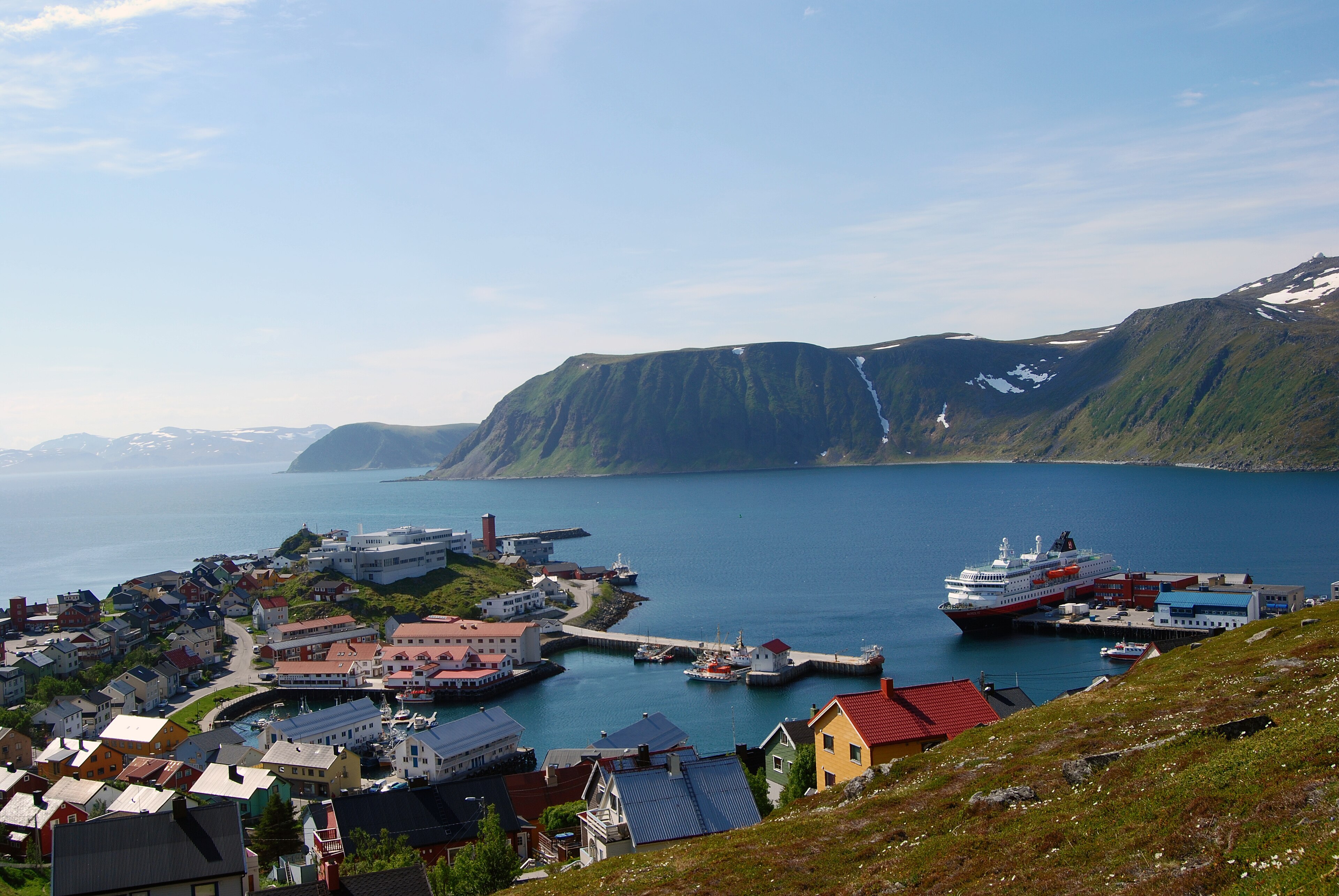
Photo: Harvey Barrison from Massapequa, NY, USA, CC BY-SA 2.0 (Wikimedia Commons)
Avalanche danger · Finnmarkskysten
No rating at the moment. NVE issues avalanche forecasts from December to May.
varsom.no · NVE
Weather
Now
In 24 hours
Weather forecast from MET Norway (yr.no).
Northern Lights Chances
An indication, not a promise: aurora activity over this place (NOAA) times the clear sky in the best three-hour window of the night (MET Norway). The next nights rest on the Kp forecast only. More: our Northern Lights Forecast and the Northern Lights Map.
Getting there
Honningsvåg, Nordkapp Open in Google Maps
On the way
Road reports within 40 km and the nearest road cameras, from Statens vegvesen (NLOD). The pictures refresh every few minutes; the reports are put into English word by word. All road cameras

Storefjell is the mountain right above Honningsvåg. A marked path of about 1,3 km takes you from about 30 metres up to about 310 metres, so it is short but steep: about 270 metres of climbing. Plan about 2 hours both ways.
The path starts at the car park at the trailhead, where parking is free. The trail is graded Blue: medium. Weather on Magerøya changes quickly, so take a jacket even on a fine day.
Nearby
- Extra HonningsvågNearest shop100 m
- Toilets300 m
- HonningsvågNearest town100 m
- Måsøy Ferry QuayNearest ferry35 km
- Nordkapp CampingNearest campsite6.2 km
Data from OpenStreetMap (ODbL)