

Tyven hike in Hammerfest
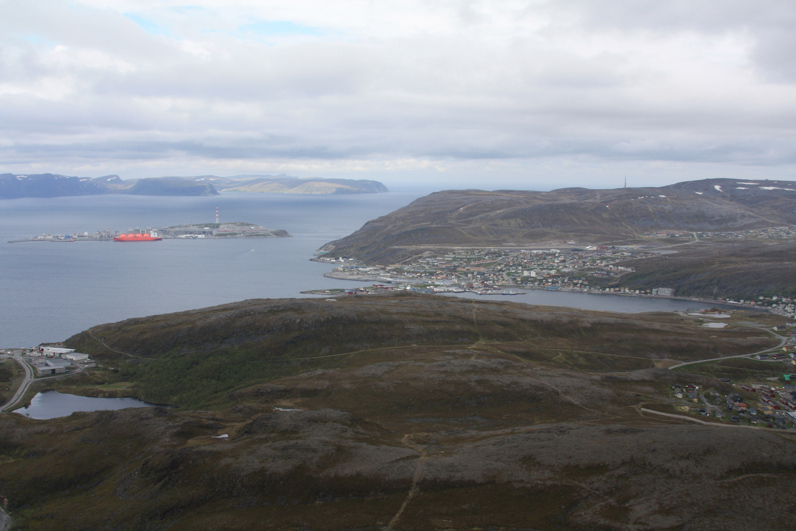
Photo: Evgeniy Metyolkin, CC BY-SA 3.0 (Wikimedia Commons)
The trail
- Lengthround walk10.5 km
- Climbfrom 45 m to 354 m416 m
- Timethe whole loop, at a steady paceabout 4.5 h
- Marked trailmaintained by DNT | Hammerfest og Omegn Turlagyes
Mountain weather changes fast. Check the forecast and the avalanche warning (varsom.no) before you go, and turn back when in doubt.
Trail: Kartverket, Turrutebasen (NLOD) · Heights and map: © Kartverket · Car park: © OpenStreetMap contributors
Avalanche danger · Vest-Finnmark
No rating at the moment. NVE issues avalanche forecasts from December to May.
varsom.no · NVE
Weather
Now
In 24 hours
Weather forecast from MET Norway (yr.no).
Northern Lights Chances
An indication, not a promise: aurora activity over this place (NOAA) times the clear sky in the best three-hour window of the night (MET Norway). The next nights rest on the Kp forecast only. More: our Northern Lights Forecast and the Northern Lights Map.
Getting there
Hammerfest Open in Google Maps
On the way
Road reports within 40 km and the nearest road cameras, from Statens vegvesen (NLOD). The pictures refresh every few minutes; the reports are put into English word by word. All road cameras

Tyven is the mountain above Hammerfest, and the marked round walk takes you over it and back to town. The loop is about 10,5 km with about 420 metres of climbing, from about 45 metres up to about 355 metres. Plan about 4,5 hours for the whole loop.
The walk starts from a car park in Hammerfest; the line on the map shows the short way from the car park to the path. The upper part is open and exposed to wind and fog, so bring warm clothes and turn back when the weather closes in.
Nearby
- Car park in HammerfestStart of the trail · freeright here
- Spar HammerfestNearest shop600 m
- Circle K HammerfestFuel1.7 km
- Toilets1.4 km
- HammerfestNearest town1.4 km
- Klokkarøy Ferry QuayNearest ferry7.0 km
- Storvannet NAF CampingNearest campsite300 m
Data from OpenStreetMap (ODbL)