

Photos: Werner Harstad / Statens vegvesen · Architect: Knut Hjeltnes AS Sivilarkitekter MNAL · Nasjonale turistveger
Photos: Tomas Eidsvold · Unsplash
1 / 4Valdresflye Scenic Route
About
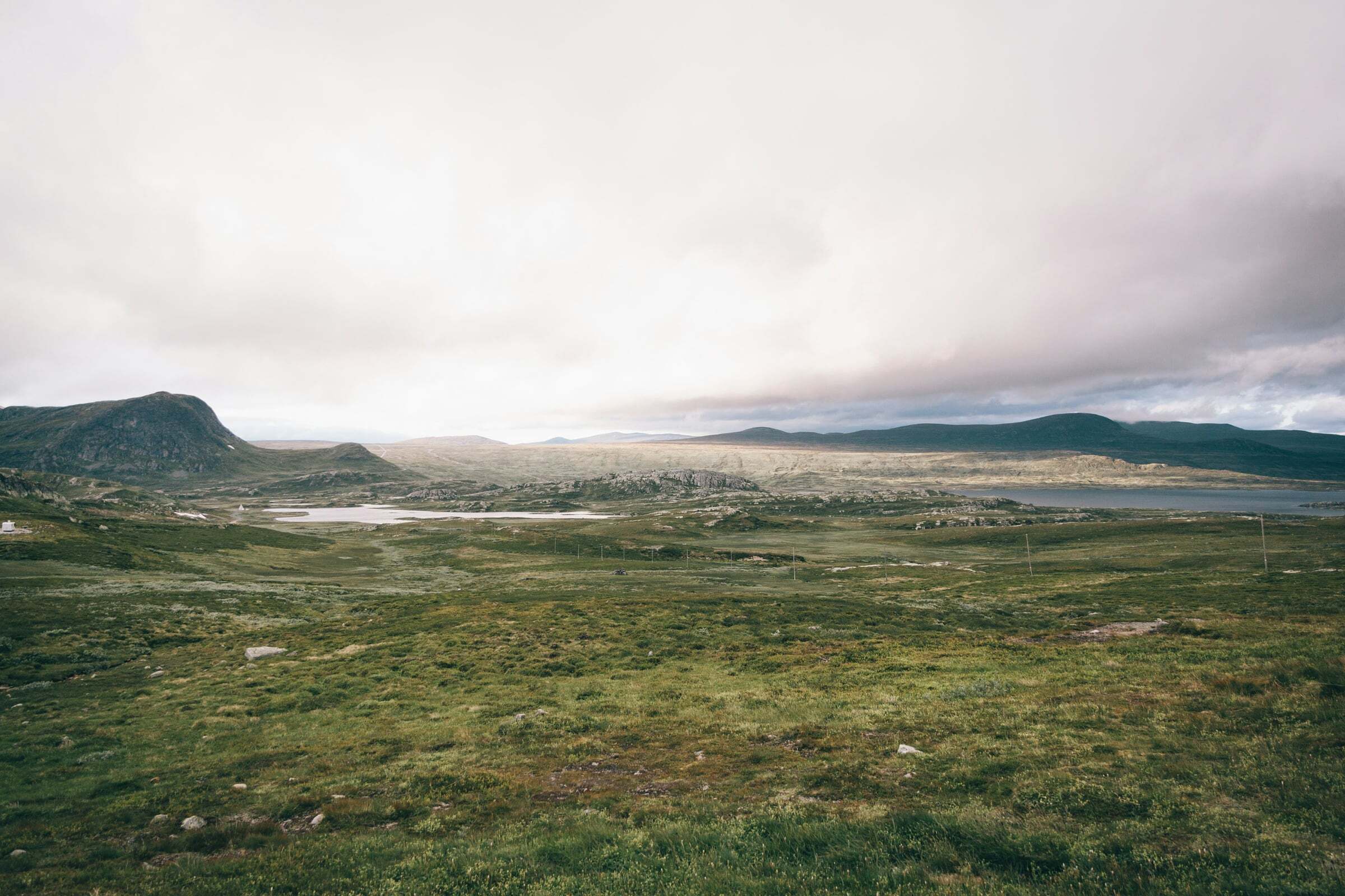
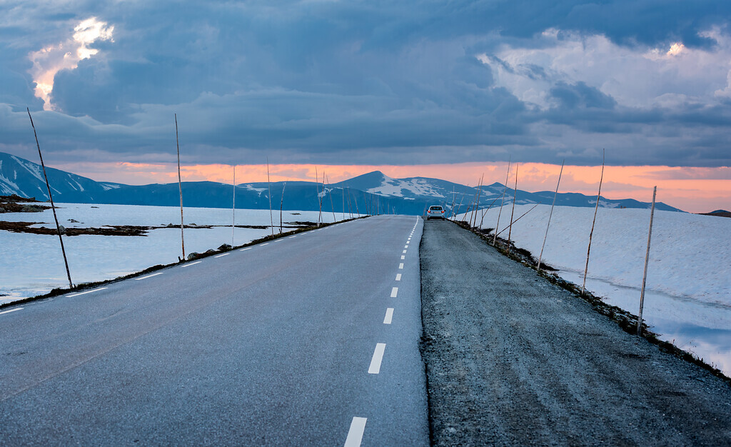
The National Tourist Route Valdresflye runs 49 km across the open mountain plateau at the gateway to Jotunheimen. Large parts of it lie above the treeline, and the road swoops ahead in long sweeps with a panoramic view of Jotunheimen’s peaks – up to 1389 metres at the highest point. It is a good inland alternative if you are heading north without taking many ferries, and part of many round trips.
Start and end: the pin marks the start at Garli – the direction of Nasjonale turistveger’s route file. The route ends at Hindsæter, with a detour to Gjende. You can drive it either way.
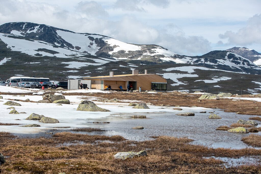
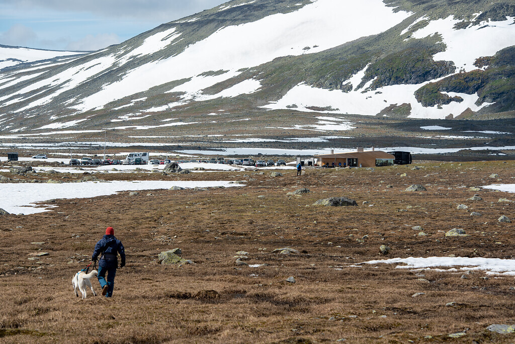
Stops on the way: Vargebakkane, Steinplassen, Flye 1389 at the highest point – a café with local food from Valdres and Gudbrandsdalen, rental of hiking and ski gear, wheelchair accessible; its toilet is closed from October to March – Rjupa and Gjende, where the boats leave for hikes in Jotunheimen.
Tips for campers: Check before you go: the road reports further down this page show live what is reported along the whole route, and the map with the road conditions shows closures in red. the road between Garli and Maurvangen is closed in winter – it has closed between mid-December and early January and opened between late March and early April, and it can close at night and in bad weather. Up on the plateau there is often a strong wind. Emptying toilets is not allowed at the rest areas; the nearest dump stations are in Fagernes and Vågåmo.

Weather & Northern Lights
Now
In 24 hours
Northern Lights Chances
Weather forecast from MET Norway (yr.no). An indication, not a promise: aurora activity over this place (NOAA) times the clear sky in the best three-hour window of the night (MET Norway). The next nights rest on the Kp forecast only. More: our Northern Lights Forecast and the Northern Lights Map.
Getting there
Start: Garli (Fv51), Øystre Slidre, Norway
Nearby
- Spar BeitostølenNearest shop · 3,2 km
- BeitostølenNearest village3,2 km
- Vinmonopolet BeitostølenNearest Vinmonopolet · 3,6 km
- Beitostølen Camping og HytterNearest campsite4,4 km
Data from OpenStreetMap (ODbL)
On the way
Road reports and road cameras along the whole route, from Statens vegvesen (NLOD), refreshed every few minutes – a red dot means closed. The reports are put into English word by word. Road conditions on the map
Reviews
Rate this place
You are, or have been here? Give it your stars.
Comments
Thank you! Your comment is shown once we have read it.
No comments yet.
Write a comment
Let us know your experience with this place -- did something change? Your comment is shown once we have read it.
Please write a few words.
Thank you -- that is enough for now. Please try again in an hour.