

Photos: Kyrre (CC BY-SA 3.0), Anders Fagerjord (CC BY-SA 2.0), Thomas M. Hansen (CC BY-SA 3.0) · Wikimedia Commons
1 / 3Ytre Hvaler National Park
About
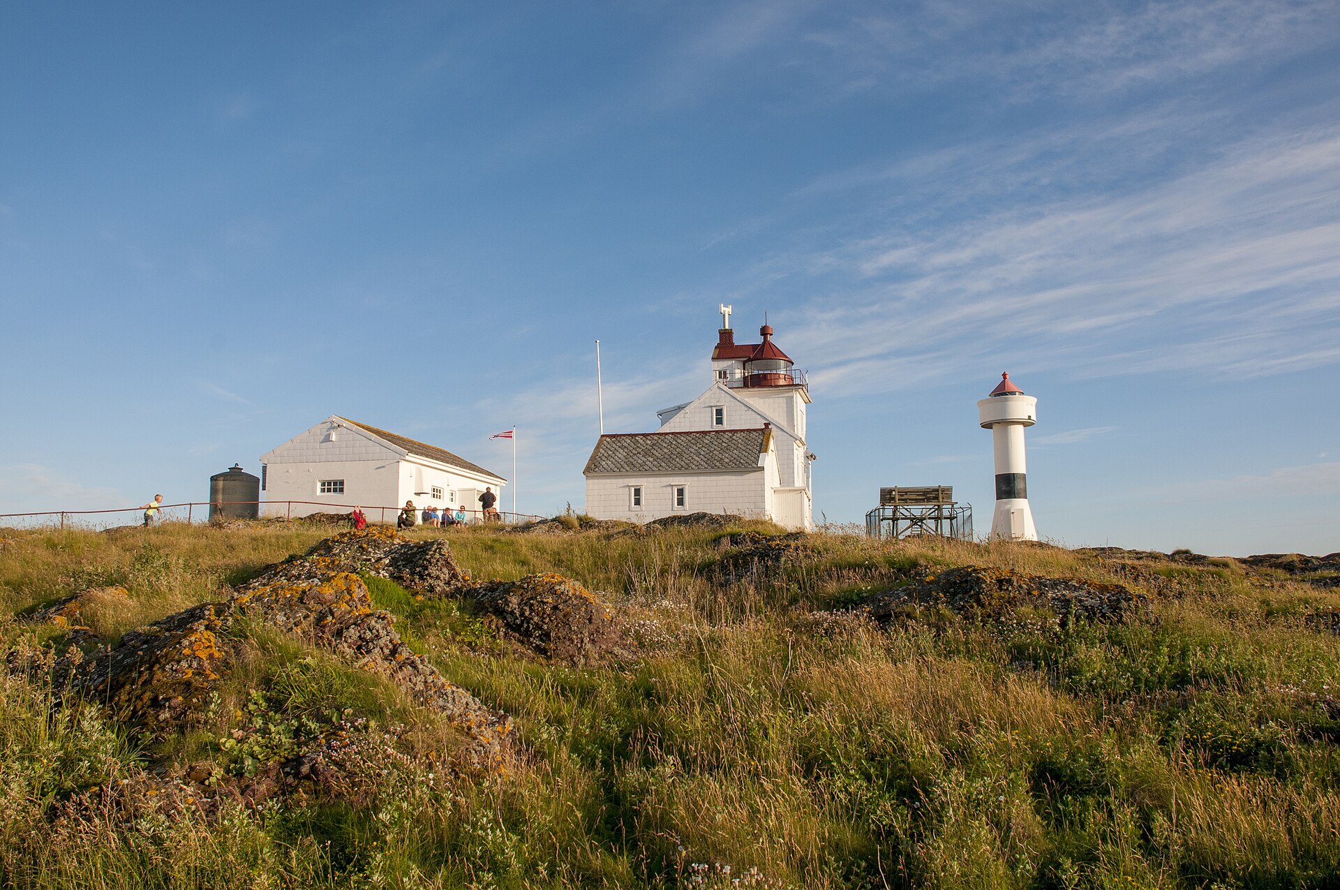
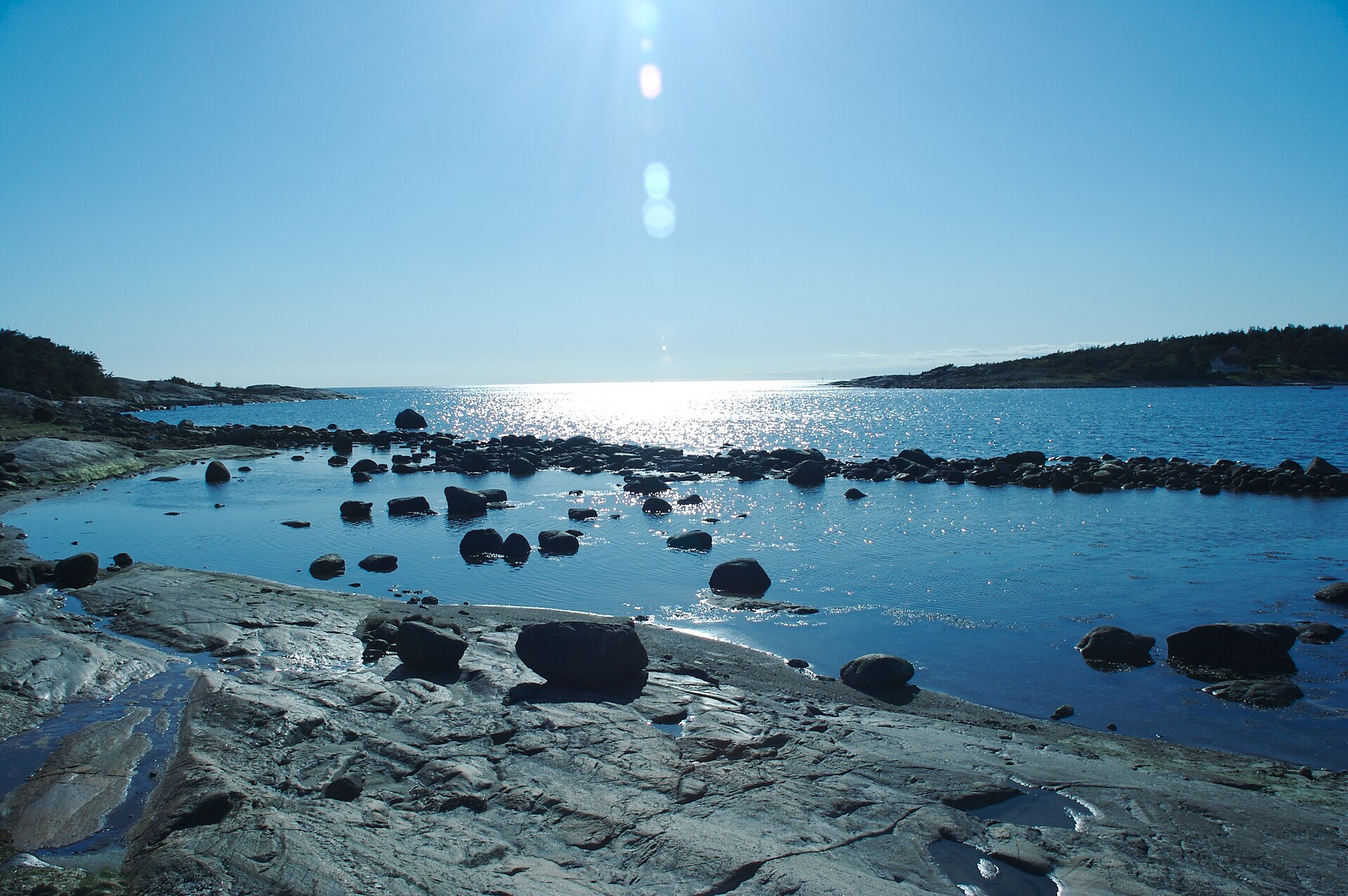
Out at Hvaler, in the far south-east corner of Norway, the skerries run all the way to the Swedish border. Ytre Hvaler became Norway's first marine national park in 2009. It covers 354 km², and 96 % of it lies under water, with Kosterhavet National Park continuing on the Swedish side. On land it is smooth, rounded granite and gneiss, heather heath kept open by burning and grazing, and wind-shaped pine. The Søsterøyene islands are made of rhomb porphyry conglomerate, a rock that is rare anywhere in the world. Under the surface lies the real surprise: the coral reef at Tisler is 1.200 metres long and 200 metres wide, grows at 74 to 160 metres depth and is more than 8.000 years old. It is one of the largest inshore cold-water coral reefs in the world. More than 950 kinds of butterflies and moths have been recorded on the islands.
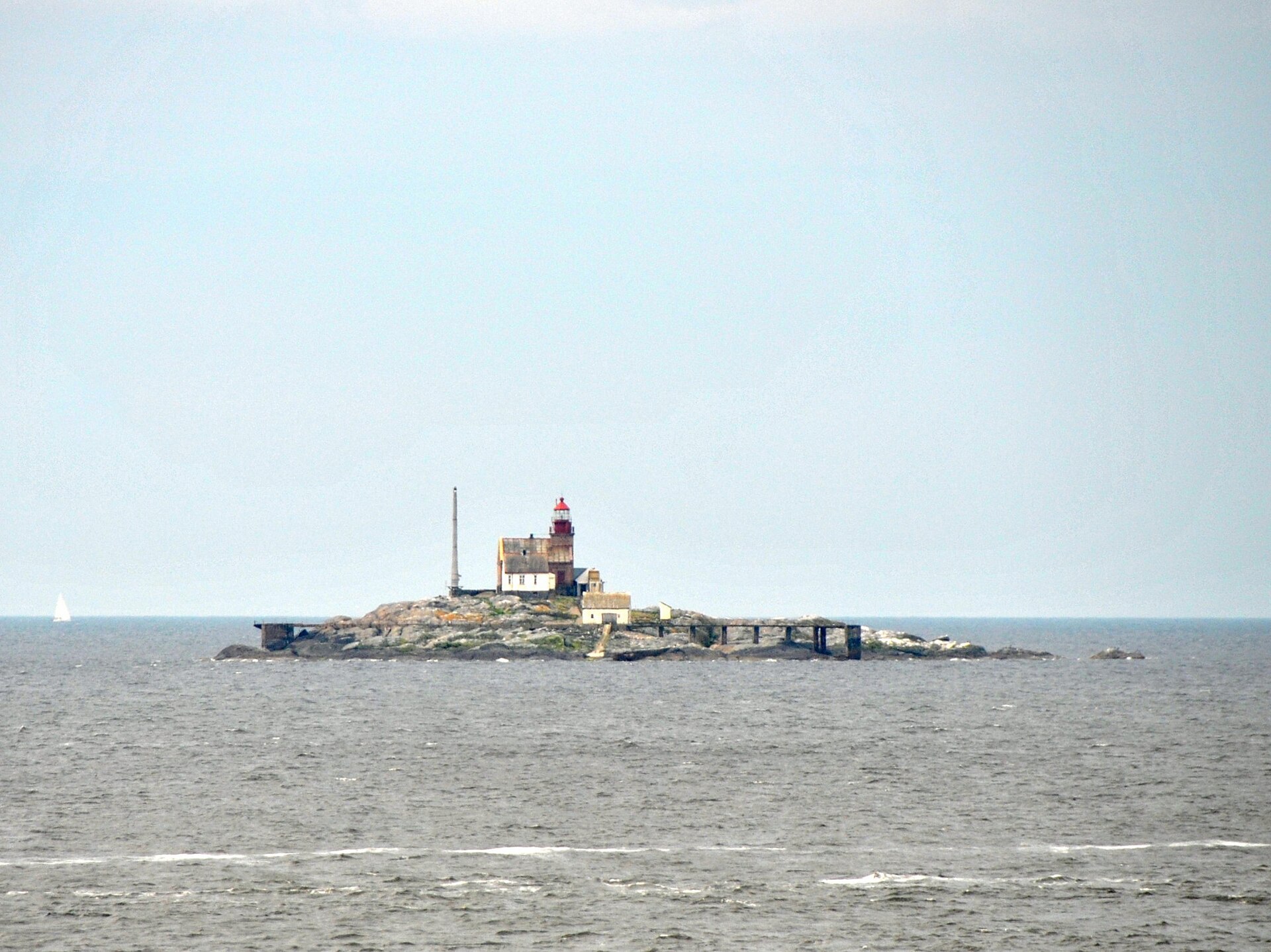
Local knowledge: on Festningsholmen, just inside Akerøya, stands Akerøy fort. It was built in 1684 to stop a Swedish attack from the sea on Fredrikstad. The attack never came, and the fort was closed in 1807. It has since been restored and looks almost as it did, and the house on Akerøya was first built for the commander. Akerøya is also one of the best places in Norway to watch bird migration, and there is a ringing station on the island. Elsewhere the old life at sea shows in the lighthouses and the simple boathouses fishermen kept on the skerries.
Visiting: drive from Fredrikstad across the islands to Kirkøy, the last one, and on to Skjærhalden, the largest village on Hvaler. The pin is by Kornmagasinet, where the visitor centre has an exhibition on the park (daily in high summer, weekdays the rest of the year), and in summer there is an outdoor aquarium at the Lilliput centre in the harbour. A good walk is the 6 km coastal path on Vesterøy from Papperhavn past Kuvauen and Guttormsvauen to Utgård, and you can do shorter bits from Kuvauen or Guttormsvauen. The Kyststien is marked with signs and blue paint. The local Hollungen ferry is good for island hopping, while Akerøya and the outer islands need a boat. From 15 April to 15 July you must keep out of the seabird zones, and drones and jet skis are not allowed. Never light a fire on bare rock. More: the park's official page and Ytre Hvaler National Park's own site.

Weather & Northern Lights
Now
In 24 hours
Northern Lights Chances
Weather forecast from MET Norway (yr.no). An indication, not a promise: aurora activity over this place (NOAA) times the clear sky in the best three-hour window of the night (MET Norway). The next nights rest on the Kp forecast only. More: our Northern Lights Forecast and the Northern Lights Map.
Getting there
Kornmagasinet, Skjærhalden, 1680 Skjærhalden (Hvaler), Norway
Nearby
- Spar SkjærhaldenNearest shop · 200 m
- Tank SkjærhaldenFuel200 m
- Toilets100 m
- SkjærhaldenNearest village100 m
- Vinmonopolet HvalerNearest Vinmonopolet · 300 m
- Skjærhalden Ferry QuayNearest ferry100 m
- Storesand CampingNearest campsite1,0 km
Data from OpenStreetMap (ODbL)
On the way
Road reports within 40 km and the nearest road cameras, from Statens vegvesen (NLOD). The pictures refresh every few minutes; the reports are put into English word by word. All road cameras
Reviews
Rate this place
You are, or have been here? Give it your stars.
Comments
Thank you! Your comment is shown once we have read it.
No comments yet.
Write a comment
Let us know your experience with this place -- did something change? Your comment is shown once we have read it.
Please write a few words.
Thank you -- that is enough for now. Please try again in an hour.