

Photos: Peter Möllenkamp (CC BY-SA 3.0), Ida Brennodden (CC BY 4.0), Ida Brennodden (CC BY 4.0) · Wikimedia Commons
1 / 3Gutulia National Park
About
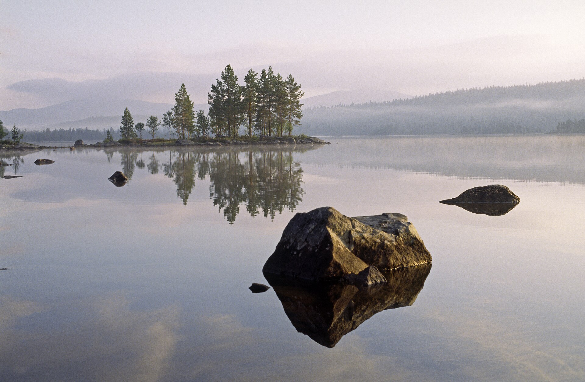
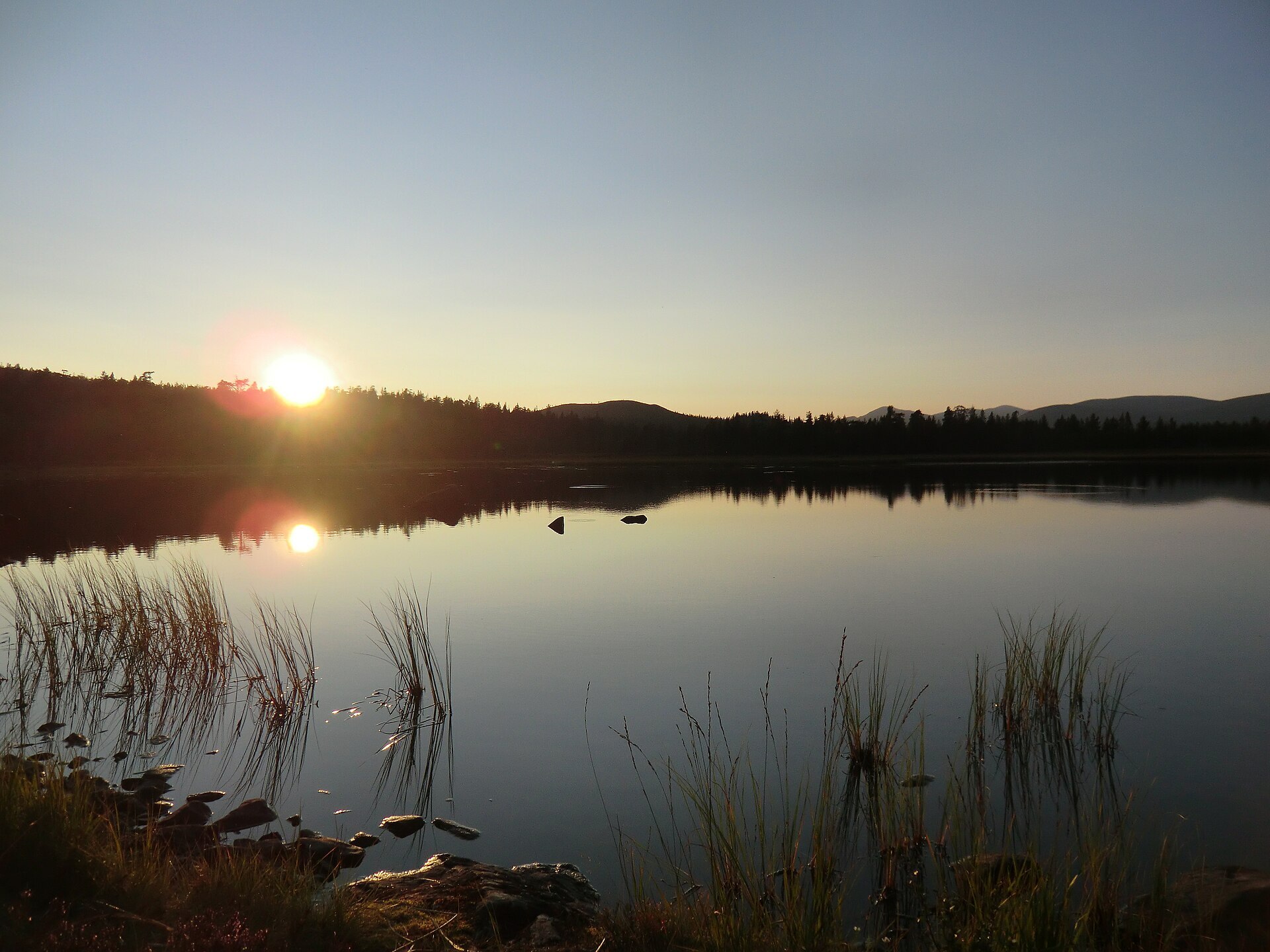
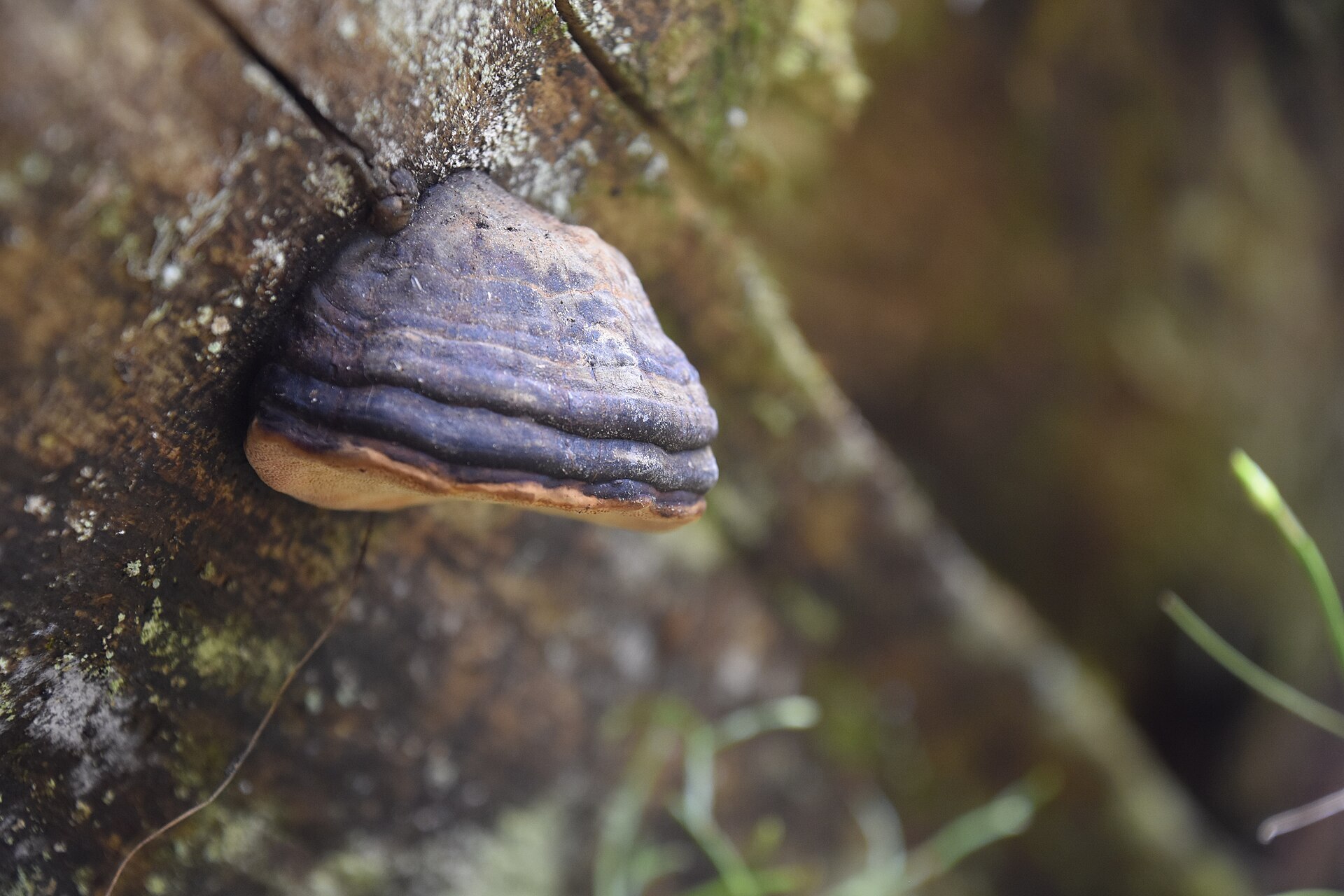
At 23 km², Gutulia is the smallest national park in Norway, and one of the oldest. It sits in the far east of Engerdal, close to the Swedish border and just south of Femundsmarka. In the middle rises Gutulivola (949 m), a big round ridge with bare rock on top and open pine forest down its sides. To the east, along the river Gutua, the forest gets thicker, with dark spruce where fallen trunks lie criss-cross in every stage of decay. Pines over 400 years old and spruces over 300 have been found here. Old fire scars on the trunks come from forest fires around 1700, 1720, 1800 and 1860. Southern Sámi reindeer from Svahken sijte graze the whole park.
Local knowledge: the first proposals to protect Gutulia, because of its big pine forest, came as early as 1916. It took until 1968 before the park was created, and in 2004 it was extended to today's size. By the south end of the lake lies Gutulisetra. Around 1750 the farms at Sorken by Lake Femunden and Lillebo near Drevsjø cleared summer farms here, and every summer for about 200 years they brought their animals in to graze, until it all stopped in 1949. The 16 log buildings were restored between 1975 and 1983 with old craft methods, and haymaking still goes on to keep the meadows open. At Oppåvollen a small exhibition tells about life on the farms.
Visiting: from Femundsenden take Fv 221 towards Elgå and turn onto the signposted forest road, which runs about 3 km to the car park by Gutulisjøen. From the car park a 3 km path leads around the lake to Gutulisetra, where hosts serve coffee and waffles in summer and the old cheese hut at Oppåvollen is open for a rest. A 1,5 km nature trail with over 20 posts starts at the summer farm. Elsewhere there are no marked trails, so bring a map. All trees, also the dead ones, are protected, and dogs must be on a lead from 1 April to 20 August. Links: the park's own website and the park's official page. The visitor centre for Gutulia and Femundsmarka is in Elgå, see Femundsmarka National Park.

Weather & Northern Lights
Now
In 24 hours
Northern Lights Chances
Weather forecast from MET Norway (yr.no). An indication, not a promise: aurora activity over this place (NOAA) times the clear sky in the best three-hour window of the night (MET Norway). The next nights rest on the Kp forecast only. More: our Northern Lights Forecast and the Northern Lights Map.
Getting there
Gutulisjøen, 2443 Drevsjø, Engerdal, Norway
Nearby
- Joker DrevsjøNearest shop · 15 km
- Toiletsright here
- Vinmonopolet RørosNearest Vinmonopolet · 73 km
- Femund Canoe CampNearest campsite11 km
Data from OpenStreetMap (ODbL)
On the way
Road reports within 40 km and the nearest road cameras, from Statens vegvesen (NLOD). The pictures refresh every few minutes; the reports are put into English word by word. All road cameras
Reviews
Rate this place
You are, or have been here? Give it your stars.
Comments
Thank you! Your comment is shown once we have read it.
No comments yet.
Write a comment
Let us know your experience with this place -- did something change? Your comment is shown once we have read it.
Please write a few words.
Thank you -- that is enough for now. Please try again in an hour.