

Photos: Noxstar8 (CC BY-SA 4.0), Fborchse (CC BY-SA 4.0), Rüdiger Müller (CC BY-SA 4.0) · Wikimedia Commons
1 / 3Hallingskarvet National Park
About
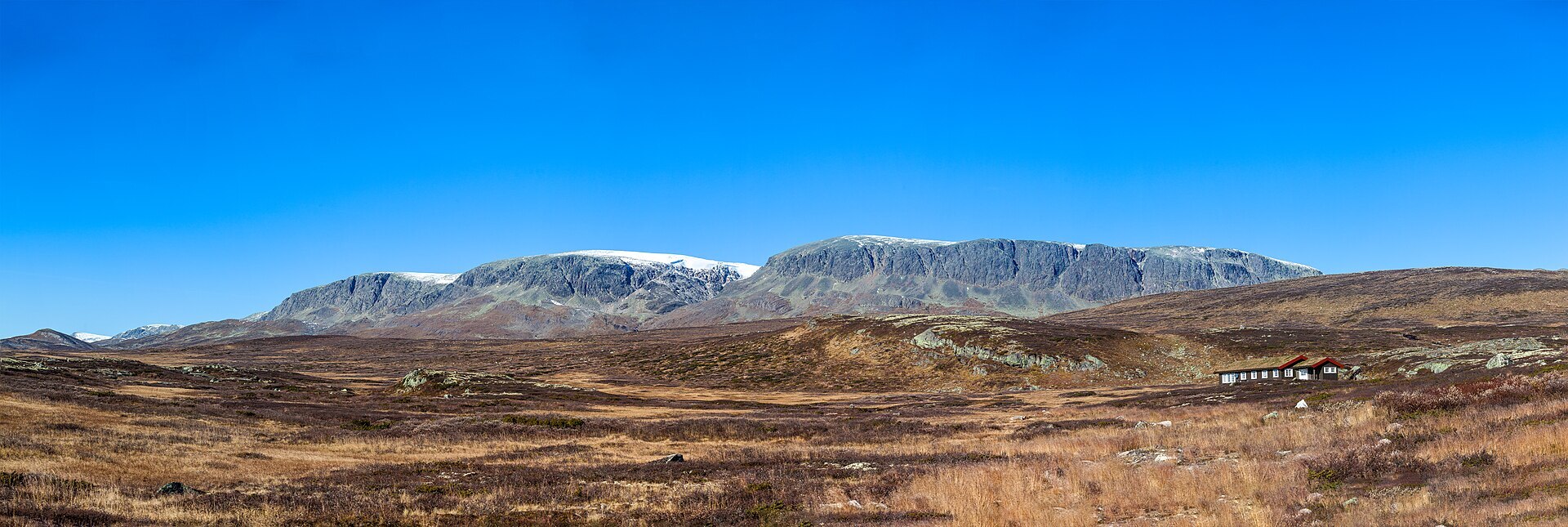
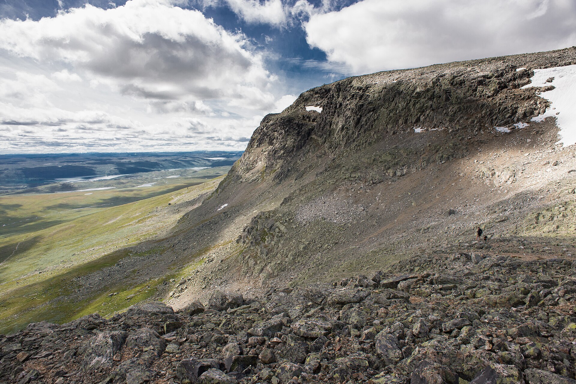
Hallingskarvet looks like a stone wall laid across the mountains. The ridge runs about 35 km west from Geilo to the area north of Finse, with cliffs several hundred metres high on the north and south sides and a flat, stony plateau on top. The highest point is Folarskardnuten (1.933 m). "Skarv" means bare rock, and that is what it is: a block of hard gneiss, the last piece of a rock sheet that once lay over Hardangervidda, left standing while the softer rock around it wore away. The park was protected in 2006 and covers about 450 km². Wild reindeer use it all year, and up near Finse lies Flakavatnet (1.448 m), one of the highest lakes in Norway, so cold that in some summers the ice never melts.
Local knowledge: one of the first foreign reindeer hunters in Norway was the English Lord Garvagh. He came to Aurland around 1860 for the salmon fishing and spent the autumns hunting reindeer up here. There were no proper cabins, so he had small huts built to sleep in during the hunt. Most have fallen down, but the Lordehytta in Folarskardet, by the path between Haugastøl and Raggsteindalen, has been restored. A century later the ridge got a more famous resident. The philosopher Arne Næss had a hut called Tvergastein high on Hallingskarvet, where he wrote many of his books, and the "T" in "Ecosophy T", the name of his own environmental philosophy, stands for Tvergastein.
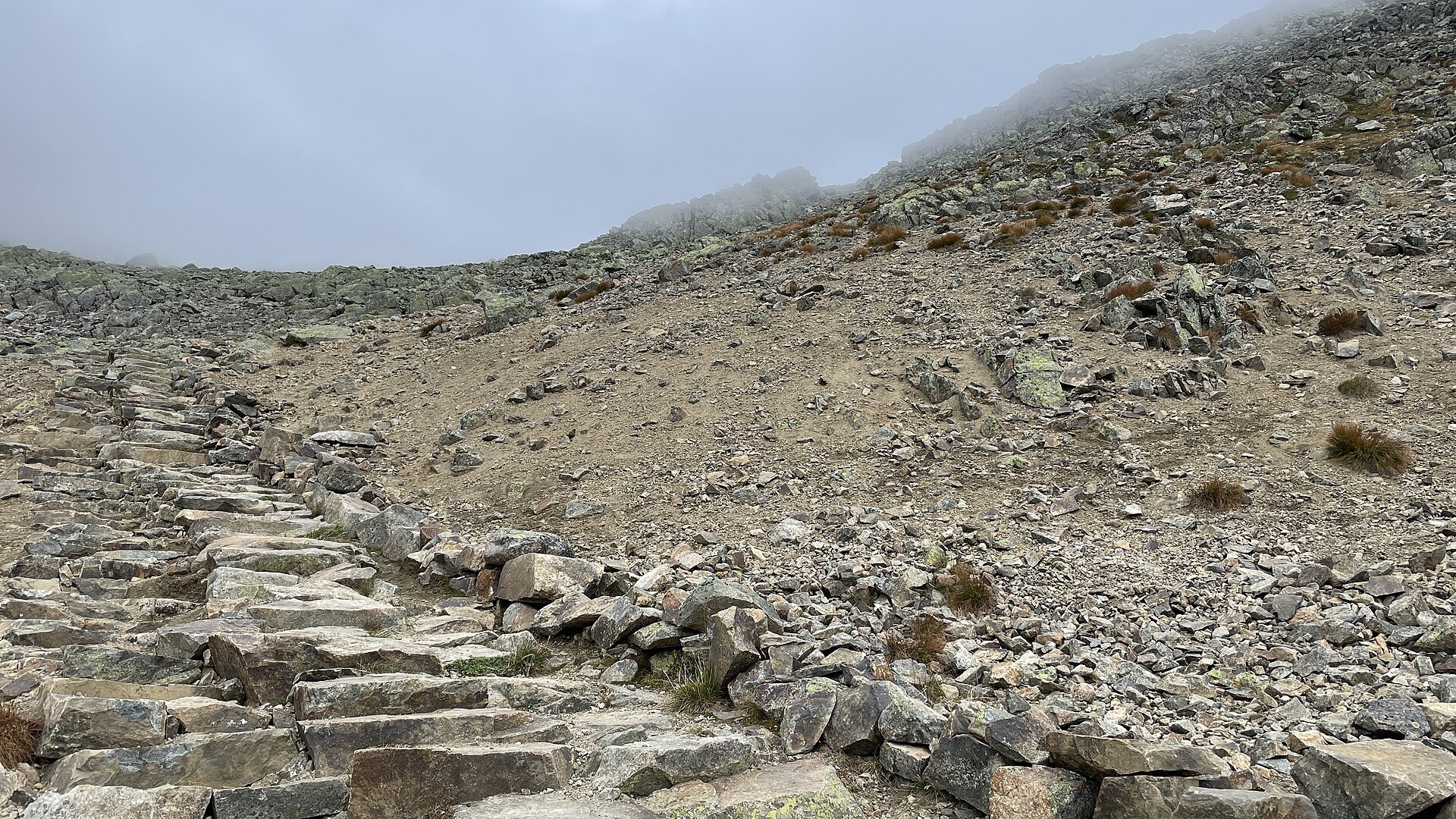
Visiting: Geilo is the national park village and the natural base. From there the Prestholtvegen toll road climbs to Prestholtseter, where the pin is. It usually opens around 1 July and is closed to cars in winter, when ski trails run up from Havsdalen and Ustaoset. From the car park the Prestholt trail climbs almost 500 metres to the viewpoint at 1.705 m, about 6,5 km in total, on stone steps laid by Sherpas from Nepal. In fog, do not leave the steps. The weather on the ridge can turn fast and the wind on top is often much stronger than the forecast for the mountains suggests. E-bikes and drones are not allowed in the park. The Bergen railway runs along the southern edge, with stations at Ustaoset, Haugastøl and Finse. Further west on Rv7 in our guide: Vøringsfossen – Hardangervidda. More on the park's official page.

Weather & Northern Lights
Now
In 24 hours
Northern Lights Chances
Weather forecast from MET Norway (yr.no). An indication, not a promise: aurora activity over this place (NOAA) times the clear sky in the best three-hour window of the night (MET Norway). The next nights rest on the Kp forecast only. More: our Northern Lights Forecast and the Northern Lights Map.
Getting there
Prestholtseter, Geilo, Hol, Norway
Nearby
- Joker UstaosetNearest shop · 5,8 km
- UstaosetNearest village5,8 km
- Vinmonopolet GeiloNearest Vinmonopolet · 7,8 km
- Kinsarvik Ferry QuayNearest ferry76 km
- Geilo Hytter og CampingNearest campsite9,1 km
Data from OpenStreetMap (ODbL)
On the way
Road reports within 40 km and the nearest road cameras, from Statens vegvesen (NLOD). The pictures refresh every few minutes; the reports are put into English word by word. All road cameras
Reviews
Rate this place
You are, or have been here? Give it your stars.
Comments
Thank you! Your comment is shown once we have read it.
No comments yet.
Write a comment
Let us know your experience with this place -- did something change? Your comment is shown once we have read it.
Please write a few words.
Thank you -- that is enough for now. Please try again in an hour.