

Photos: trolvag (CC BY-SA 3.0), Millars (CC BY-SA 4.0) · Wikimedia Commons
Photos: Gunnar Ridderström · Unsplash
1 / 3Kristiansand
About
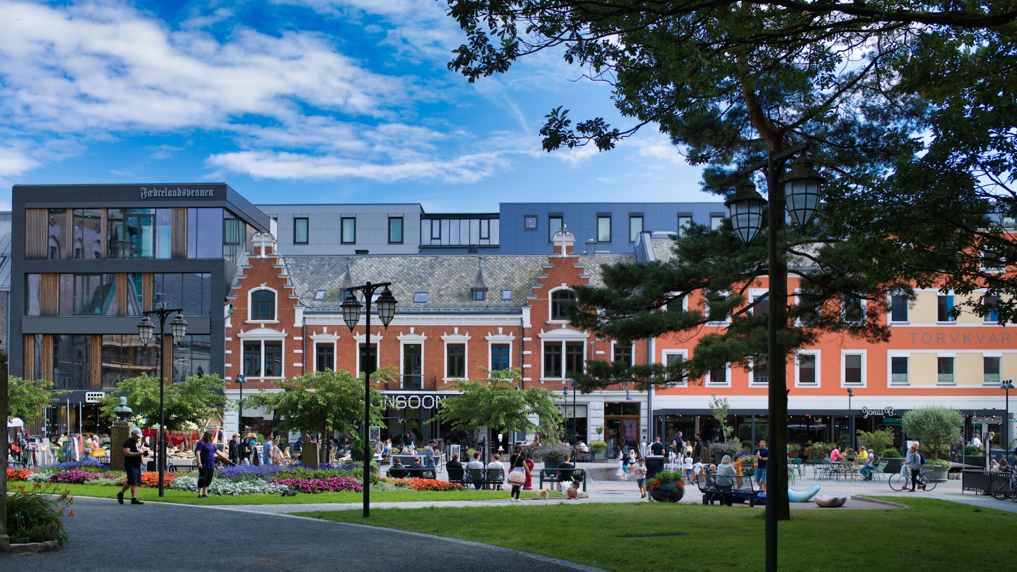
Kristiansand lies where the Otra river meets the Skagerrak, and the first thing you notice in the centre is how straight it is. The old town, Kvadraturen, is a grid: seven streets along the river and ten across, just as the king laid it out in 1641. In the northern part is Posebyen, the corner that escaped the great fire of 1892, with low wooden houses lined up along the streets and gardens tucked in behind. At the bottom of the grid you reach the harbour, the city beach Bystranda and the ferry quay for Denmark.
About 68.300 people live in the town, the biggest in Agder. Behind the shops and cafés there is plenty of heavy engineering: firms on the east side of the fjord make drilling equipment, cranes and winches for the oil industry all over the world.
Local knowledge: the town has a birthday, 5 July 1641, when Christian IV signed the letter founding a town on the sandy flat at the mouth of the river, to be called Christians Sand. To fill it, merchants all over Agder were ordered to move in, with ten years free of tax as the reward. Arendal and Risør refused and bargained their way out with a yearly fee. The king's plan had room for 15.000 to 20.000 people, and it took the town nearly 300 years to grow into it. In 1892 fire swept through much of Kvadraturen, and that part was rebuilt in brick. Posebyen, where workers, sailors and day labourers lived, is what is left of the wooden town.
Born here: Henrik Wergeland (1808–1845), one of Norway's great poets, was born here and spent his first years in town. Gustav Vigeland's statue of him has stood here since 1908. Queen Mette-Marit (born 1973) grew up in Vågsbygd in the west of town and became queen in August 2026.
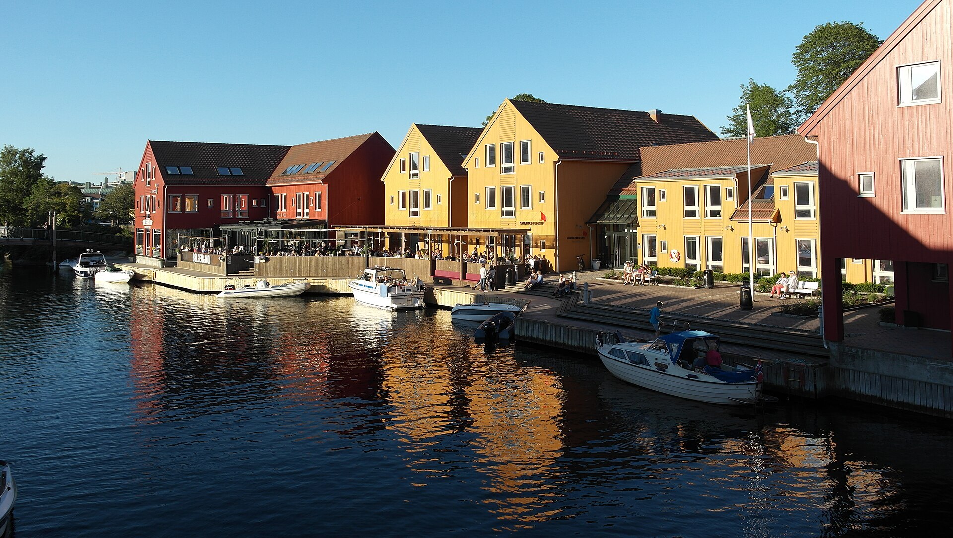
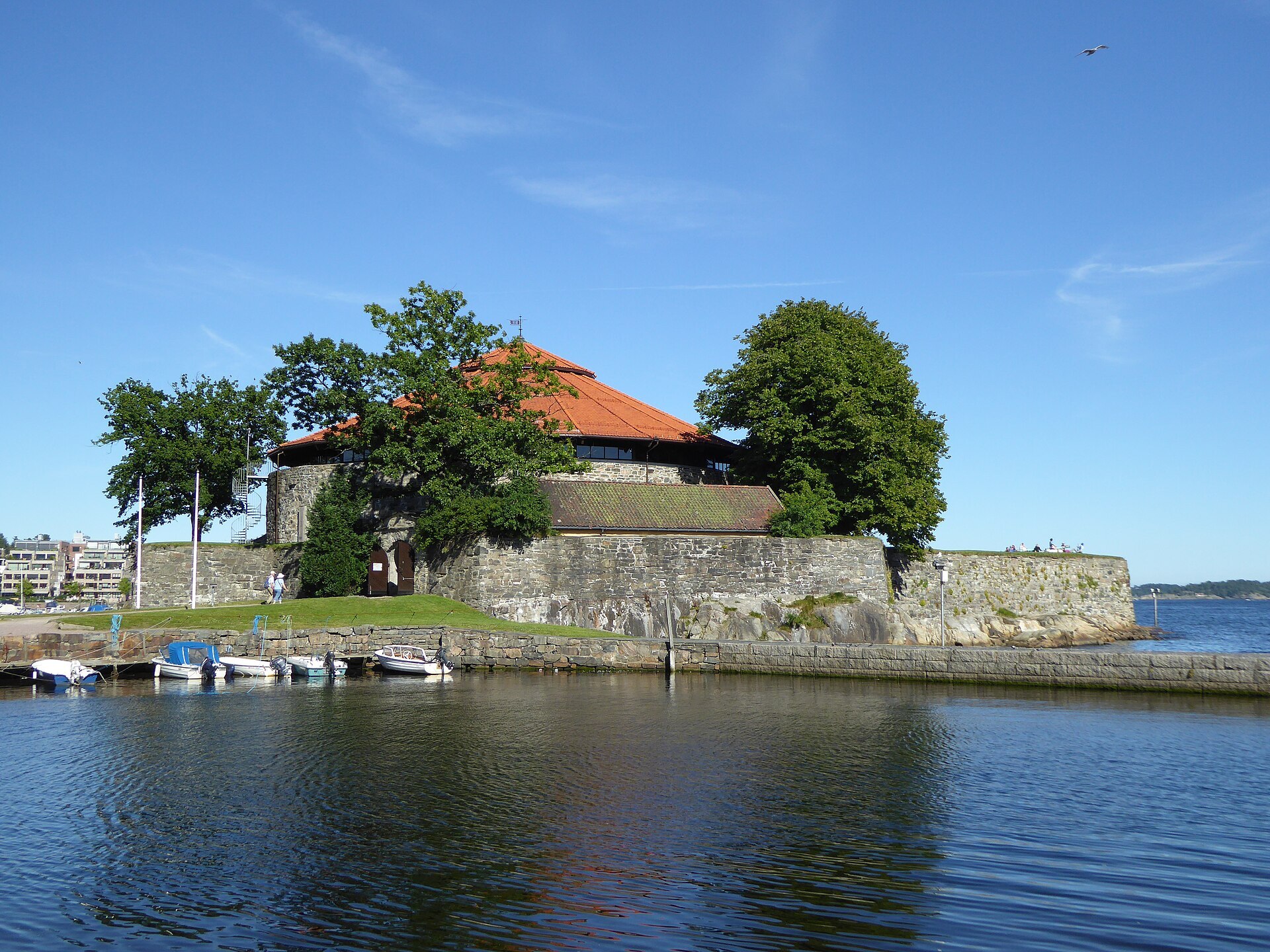
Visiting: the pin points to the tourist information in the council's service centre on Rådhusgata. From there walk down to Christiansholm fortress, a round stone tower from 1672 with walls five metres thick, which fired its guns at an enemy only once, at a British ship in 1807. Along the canal between the centre and Odderøya, Fiskebrygga has restaurants in the old fish landing. On a rainy day, cross to Odderøya for Kunstsilo, the art museum that opened in 2024 in a grain silo from 1935, or swim at Aquarama on Bystranda. Dyreparken, the big zoo and amusement park, is about 12 kilometres east.
Fact sheet
- People: 68.300 in Kristiansand, 119.287 in Kristiansand municipality
- County: Agder
- Town since: 1641 (as a trading town)
- Typical industries: machinery, mainly drilling equipment, cranes and winches for the oil industry, building construction
Population on 1 January 2026, from Statistics Norway. Typical industries are the ones with a much bigger share of the jobs here than in Norway as a whole (Statistics Norway, 2025).
Weather & Northern Lights
Now
In 24 hours
Northern Lights Chances
Weather forecast from MET Norway (yr.no). An indication, not a promise: aurora activity over this place (NOAA) times the clear sky in the best three-hour window of the night (MET Norway). The next nights rest on the Kp forecast only. More: our Northern Lights Forecast and the Northern Lights Map.
Getting there
Rådhusgata 18, 4611 Kristiansand, Norway
Nearby
- Kiwi TorvetNearest shop · right here
- Circle K ElvegatenFuel600 m
- Toilets100 m
- KristiansandNearest townright here
- Vinmonopolet Kristiansand, LillemarkensNearest Vinmonopolet · 300 m
- Andabeløy Ferry QuayNearest ferry78 km
- RolighedenNearest campsite1,9 km
Data from OpenStreetMap (ODbL)
On the way
Road reports within 40 km and the nearest road cameras, from Statens vegvesen (NLOD). The pictures refresh every few minutes; the reports are put into English word by word. All road cameras
Reviews
Rate this place
You are, or have been here? Give it your stars.
Comments
Thank you! Your comment is shown once we have read it.
No comments yet.
Write a comment
Let us know your experience with this place -- did something change? Your comment is shown once we have read it.
Please write a few words.
Thank you -- that is enough for now. Please try again in an hour.