

Photos: Frankemann (CC BY-SA 4.0), Frankemann (CC BY-SA 4.0), Robbie Morrison (CC BY 4.0) · Wikimedia Commons
1 / 3Langsua National Park
About
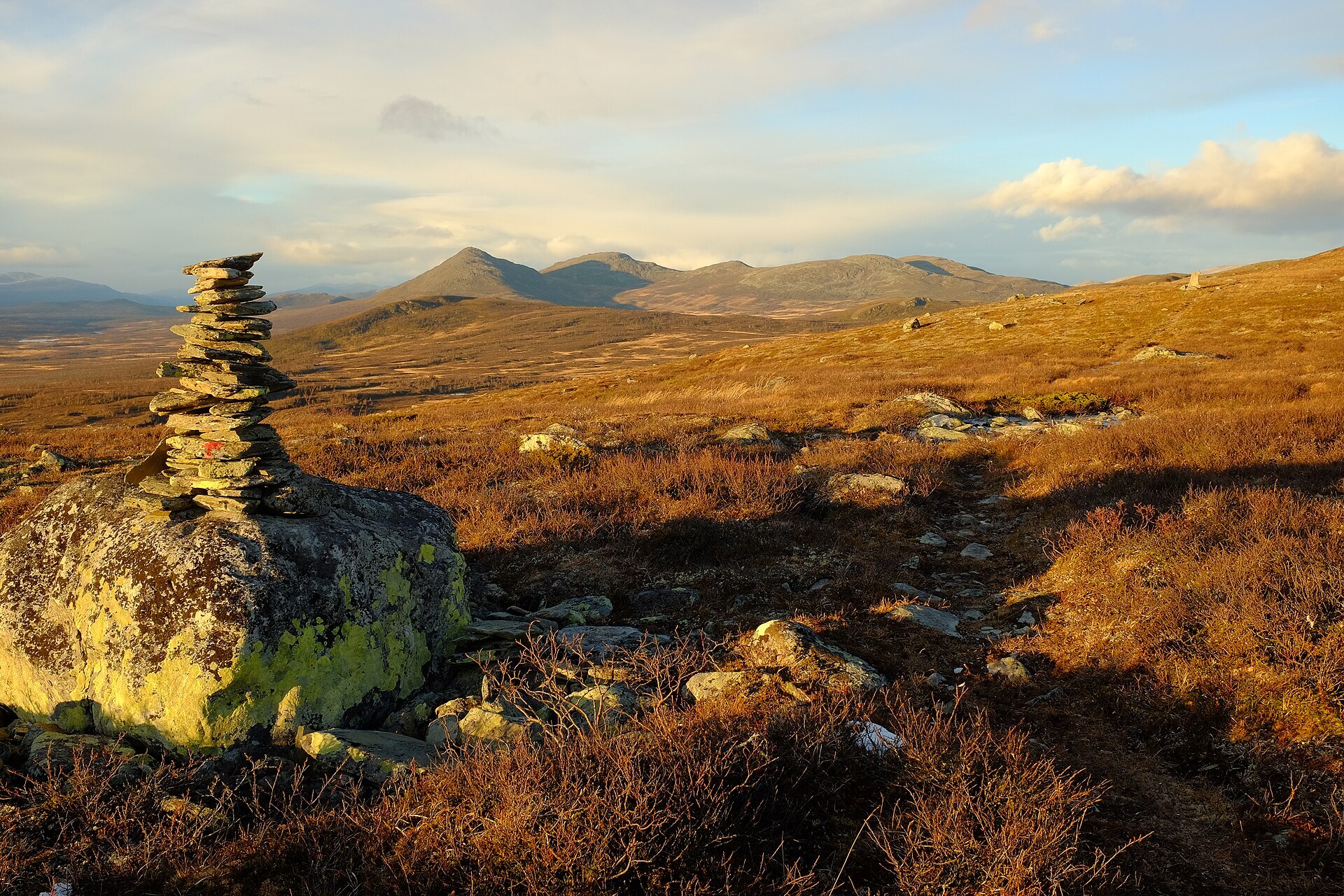
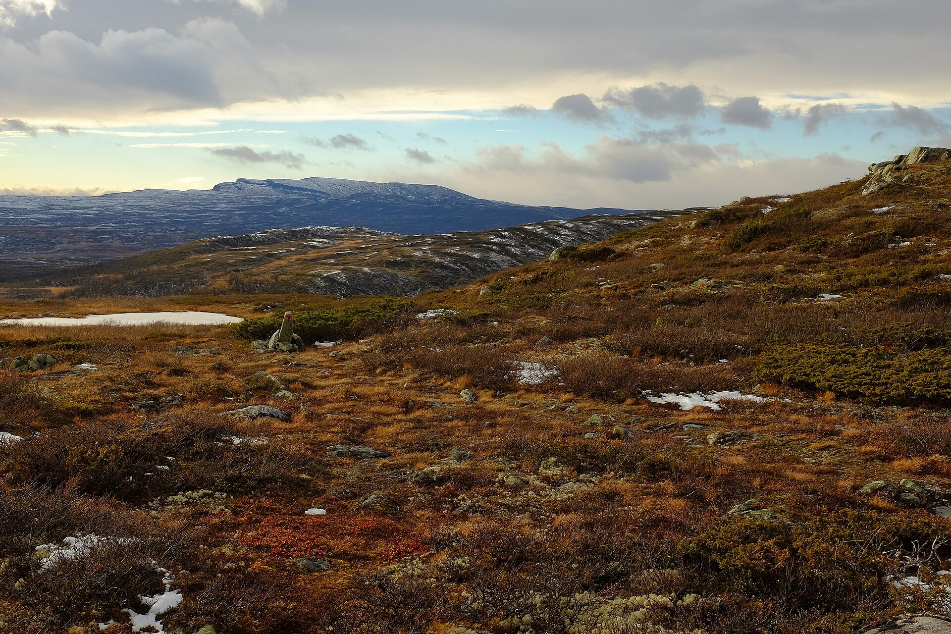
Langsua is not about sharp peaks. It is wide, rolling country of birch woods, open heath, big bogs and small lakes between Gausdal, Valdres and Gudbrandsdalen, south-east of Jotunheimen. It became a national park in 2011 and covers 537 km². The highest top is Skaget (1.685 m) in the north-west, and the flat-topped Langsua mountain reaches 1.553 m. This is the only place in northern Europe where the bearded bellflower grows, and on early summer nights great snipes display on the bogs, sometimes 40–50 birds in one small spot.
Local knowledge: the park started with a find in 1938, a small patch of old natural forest around Ormtjernkampen. It was protected in 1968 and, at 8,5 km², was by far Norway's smallest national park until it became part of Langsua. The quiet bogs were once an industrial area. People made iron from bog ore here from around 200 BC, and in the Gausdal mountains the medieval iron sites lie on almost every dry ridge. Elk were the other resource: hundreds of them still walk in from the south every late autumn, and for centuries hunters caught them with lines of pits and fences. A hundred years ago the summer farms burned so much birch wood boiling brown cheese that they were told to use peat instead.
Visiting: the main start is Holsbru on Fv204, signposted from Forset in Gausdal, about 45 minutes from Lillehammer. The pin is the car park there, with an information platform and a café run by DNT. Most roads up to the park are only open from early June until some time in October. From Holsbru there are short walks to the Holsfossen waterfall and along the Dokkelva river, and a marked national park loop. A path from the Ormtjern summer farms climbs Ormtjernkampen (1.128 m) through the old spruce forest, where trees are left to stand until they fall and then feed mosses and wood-eating fungi. The top looks out over Dokkfaret, and a seter road runs 22 km north to Liomseter lodge. For Skaget, drive in from Øystre Slidre to the Storeskag car park, which has a toilet. Kittilbu utmarksmuseum, just east of Holsbru, tells the iron and elk story. No motor traffic, e-bikes or drones in the park. On the west side runs Valdresflye Scenic Route. More on the park's official page and the park's own site langsua.no.

Weather & Northern Lights
Now
In 24 hours
Northern Lights Chances
Weather forecast from MET Norway (yr.no). An indication, not a promise: aurora activity over this place (NOAA) times the clear sky in the best three-hour window of the night (MET Norway). The next nights rest on the Kp forecast only. More: our Northern Lights Forecast and the Northern Lights Map.
Getting there
Holsbru, Gausdal, Norway
Nearby
- Coop Prix Vestre GausdalNearest shop · 15 km
- Toilets1,9 km
- ForsetNearest village15 km
- Vinmonopolet GausdalNearest Vinmonopolet · 19 km
- Horn Ferry QuayNearest ferry77 km
- Ringen CampingNearest campsite14 km
Data from OpenStreetMap (ODbL)
On the way
Road reports within 40 km and the nearest road cameras, from Statens vegvesen (NLOD). The pictures refresh every few minutes; the reports are put into English word by word. All road cameras
Reviews
Rate this place
You are, or have been here? Give it your stars.
Comments
Thank you! Your comment is shown once we have read it.
No comments yet.
Write a comment
Let us know your experience with this place -- did something change? Your comment is shown once we have read it.
Please write a few words.
Thank you -- that is enough for now. Please try again in an hour.