

Photos: Markus Trienke (CC BY-SA 2.0), Markus Trienke (CC BY-SA 2.0), Lukas Beck (CC BY 4.0) · Wikimedia Commons
1 / 3Lofotodden National Park
Gale · yellow warning (for the sea along the coast)
Stoett - Loedingen, Bodoe - Melbu · Tue 03 Nov 19:00 – Wed 04 Nov 10:00
From Tuesday evening southwest near gale force 7, early Wednesday morning increasing to occasionally southwest gale force 8.
All warnings on yr.no · MET Norway
Gale · yellow warning (for the sea along the coast)
Skomvaer - Loppa · Tue 03 Nov 18:00 – Wed 04 Nov 10:00
From Tuesday evening southwest near gale force 7, early Wednesday morning increasing to occasionally southwest gale force 8.
All warnings on yr.no · MET Norway
About
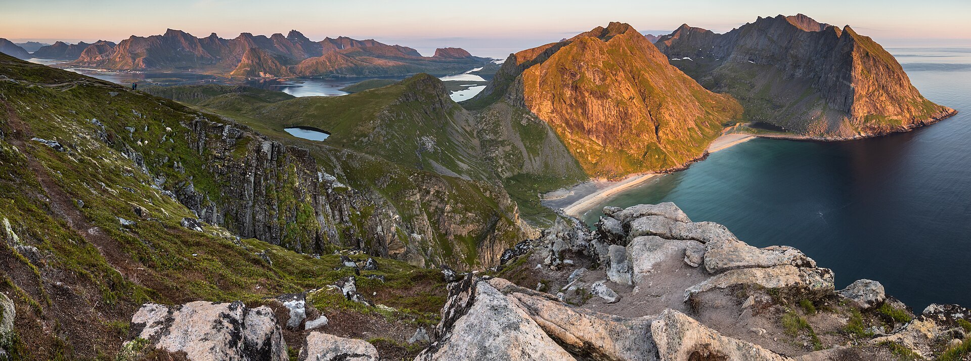
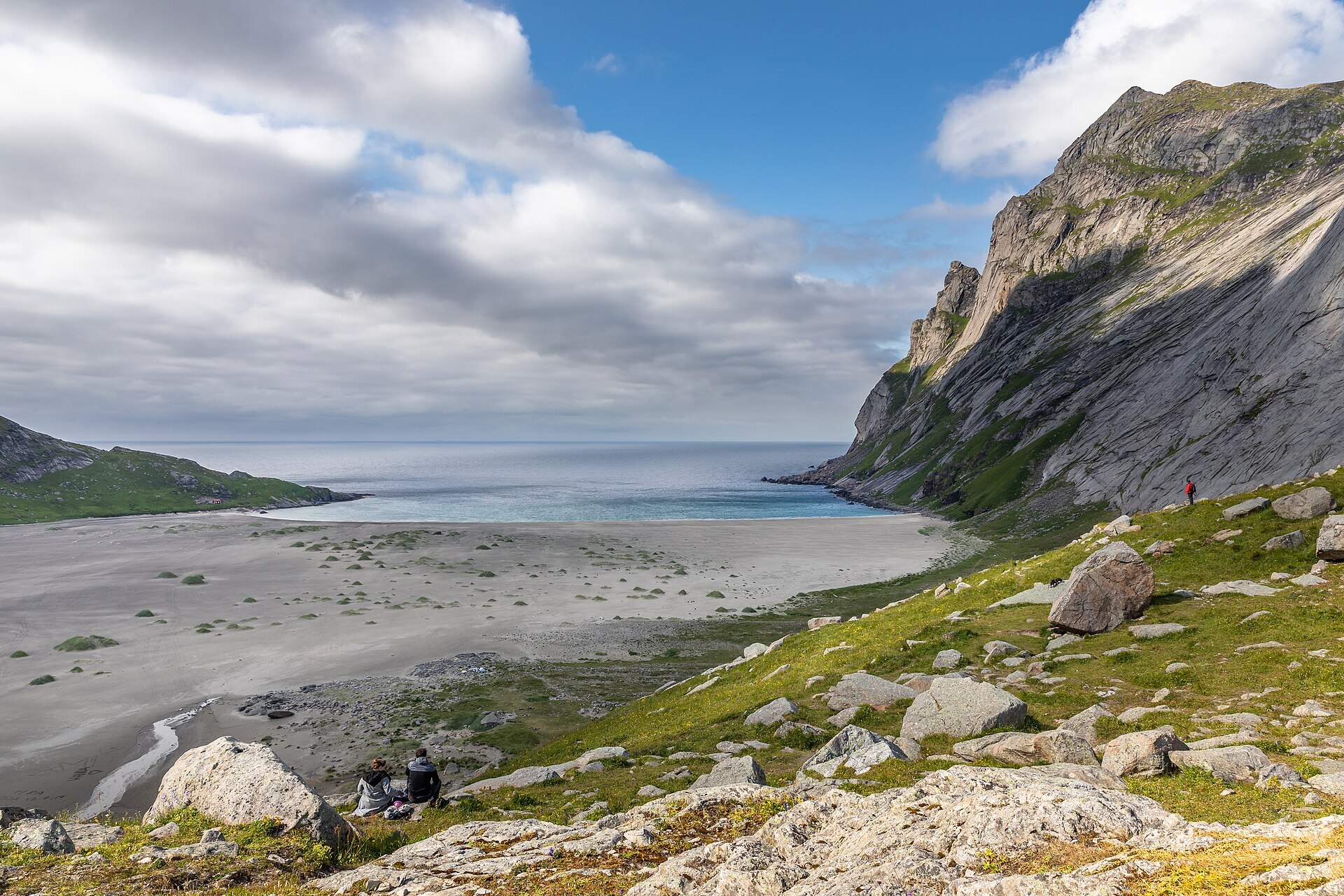
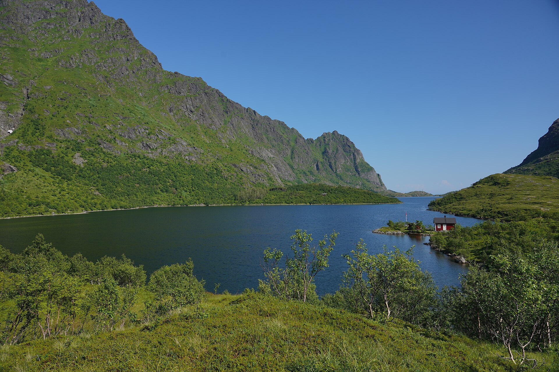
Lofotodden is the very end of Lofoten, the outer side of Moskenesøya where the mountains stand straight up out of the ocean. Fjords and sounds cut so deep that the bits of land only just hang together. The highest peak is Hermannsdalstinden at 1.029 m, and between the ridges there are deep cirques and lakes left by small local glaciers. On the sheltered bays you find wide sand beaches, Kvalvika, Horseid and Bunes, with no roads to any of them. The park was set up in 2018 and covers 99 km², 13 of them sea. Shags, kittiwakes and black guillemots nest on the cliffs, and white-tailed and golden eagles hunt along the coast. Lofoten was ice-free early after the Ice Age, so some of Norway's oldest mountain flora may grow here.
Local knowledge: people have lived on this coast for at least 6.000 years. In Kollhellaren, a 115 m long cave at Refsvika, there are figures on the walls around 3.000 years old. Cows from the village used to shelter in the cave in bad weather, and nobody noticed the paintings until students from Tromsø Museum found them in 1987. Up to about 1950 small farms and fishing villages sat in the coves on the outer side, as close to the fishing grounds as possible. But the swell was hard and the harbours poor. At Horseid the men had to go round to the inner side to fish, and the 20 people there left in 1948. In 1949 Refsvika and its neighbour Helle asked for help to move, and the Norwegian parliament made it a test case. 15 families got loans, the last family left Refsvika in spring 1951, and most went to Sørvågen. They took their houses and boathouses with them, so today only foundations and boat landings remain.
Visiting: follow the E10 to the Fredvang bridges, where the pin is at the school car park. From here a path climbs over gentle knolls to a pass above Forsvatnet, then down to Kvalvika beach or up Ryten (543 m), about 3 km and 3,5 km, 3 to 5 hours return. Bunes beach is only reached by boat from Reine to Vindstad, then about an hour's walk each way. Kollhellaren can only be visited with an authorised guide. The trails are steep and the weather changes fast out here, and the outer coast has no roads, so plan for the walk back. Drones are banned in the park, fires are not allowed on Bunes beach, and dogs must be on a lead from 1 April to 15 November in Flakstad. More on the park's official page. Nearby in our guide: Kvalvika Beach, Reinebringen, Sørvågen Waterfalls and Lofoten Beach Camp.

Weather & Northern Lights
Now
In 24 hours
Northern Lights Chances
Weather forecast from MET Norway (yr.no). An indication, not a promise: aurora activity over this place (NOAA) times the clear sky in the best three-hour window of the night (MET Norway). The next nights rest on the Kp forecast only. More: our Northern Lights Forecast and the Northern Lights Map.
Getting there
Fredvang skole, Fredvang, Flakstad, Norway
Nearby
- Bunnpris RambergNearest shop · 2,2 km
- Toilets300 m
- FredvangNearest village700 m
- Vinmonopolet LeknesNearest Vinmonopolet · 20 km
- Moskenes Ferry QuayNearest ferry22 km
- Avløysinga bobilcampingNearest motorhome park900 m
Data from OpenStreetMap (ODbL)
On the way
Road reports within 40 km and the nearest road cameras, from Statens vegvesen (NLOD). The pictures refresh every few minutes; the reports are put into English word by word. All road cameras
Reviews
Rate this place
You are, or have been here? Give it your stars.
Comments
Thank you! Your comment is shown once we have read it.
No comments yet.
Write a comment
Let us know your experience with this place -- did something change? Your comment is shown once we have read it.
Please write a few words.
Thank you -- that is enough for now. Please try again in an hour.