

Photos: Bjørn Christian Tørrissen (CC BY-SA 4.0), Silver (CC BY 3.0), Silver (CC BY 3.0) · Wikimedia Commons
1 / 3Lomsdal-Visten National Park
About
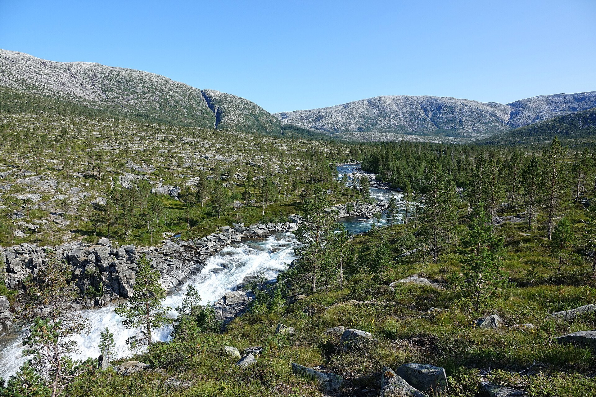
Lomsdal-Visten, or Njaarke in South Sámi, is the big empty piece of Helgeland between the coast at Brønnøy and Vevelstad and the E6 at Grane and Vefsn. Narrow fjords cut in from the west, wide valleys with dark spruce forest open up to the east, and in between are bare granite mountains, the highest Blåfjellet/Storklumpen at 1.230 m. Water is everywhere: wild rivers, rapids and waterfalls, Meheifossen the best known. Along the coast grows real boreal rainforest, damp spruce forest heavy with lichen. All four of Norway's large predators live in the area, though you are very unlikely to see one. The park was created in 2009 and covers 1.102 km². There are no marked trails, only old cairns that once guided people between east and west.
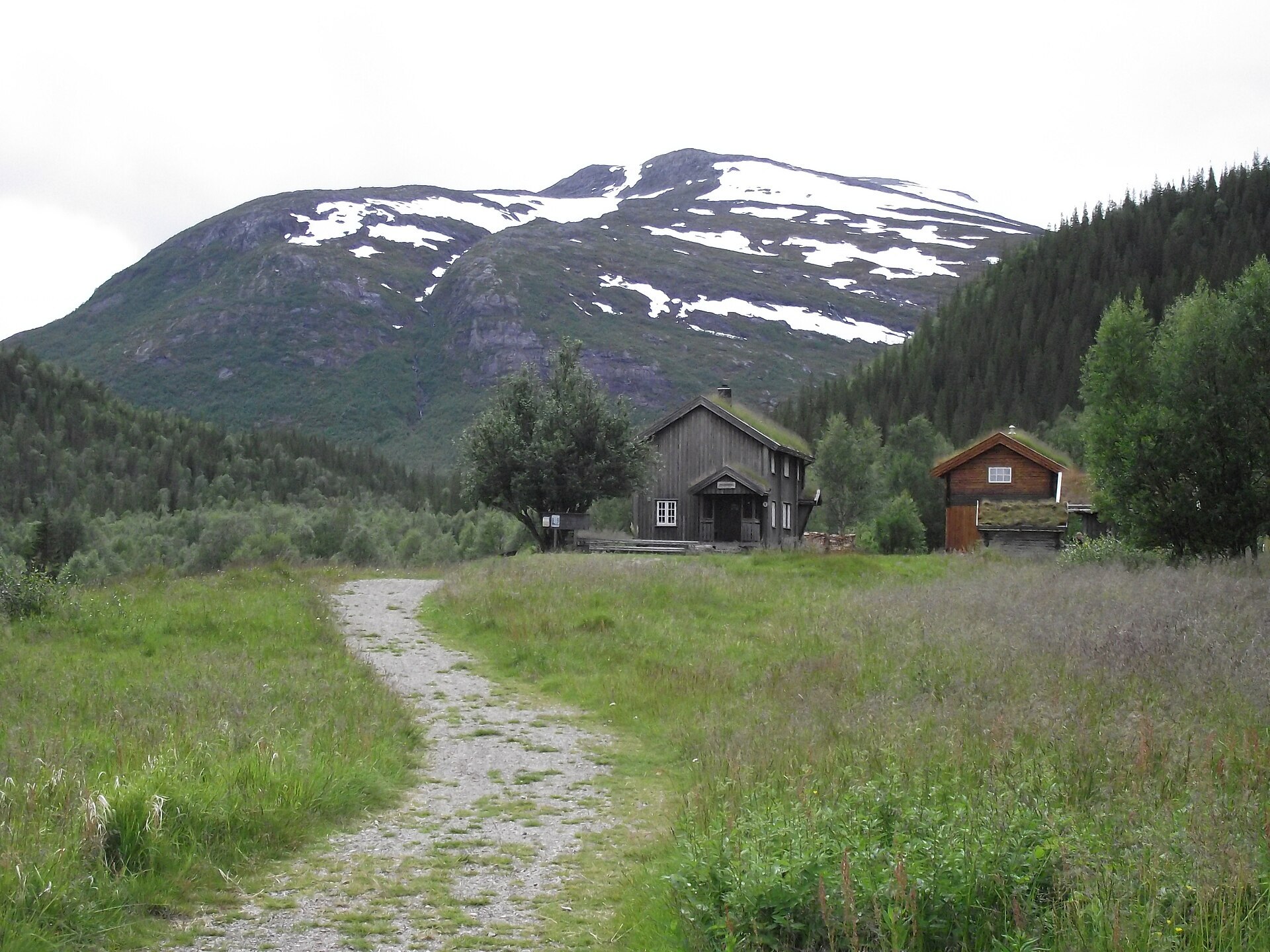
Local knowledge: today it feels like wilderness, but people have lived here for 8.000 to 9.000 years. Near Bønå there is a cave painting, probably from the hunting culture, and reindeer were hunted here from the 700s. Two very rare Sámi shaman drums, dated 1650–1750, have been found inside the park. Later, farmers pushed far up the fjords and valleys. Lomsdalen was settled by 1665, and in 1723 it was described as “a rather poor mountain place where the grain does not ripen”. The men also went to the Lofoten fishery to make ends meet, and the farm has been empty since 1933. In Sørvassdalen, the reindeer herders Gippe and Gunnar Njarka built their home in 1917. The place is now protected and restored, and hikers can rest there and find shelter for the night.
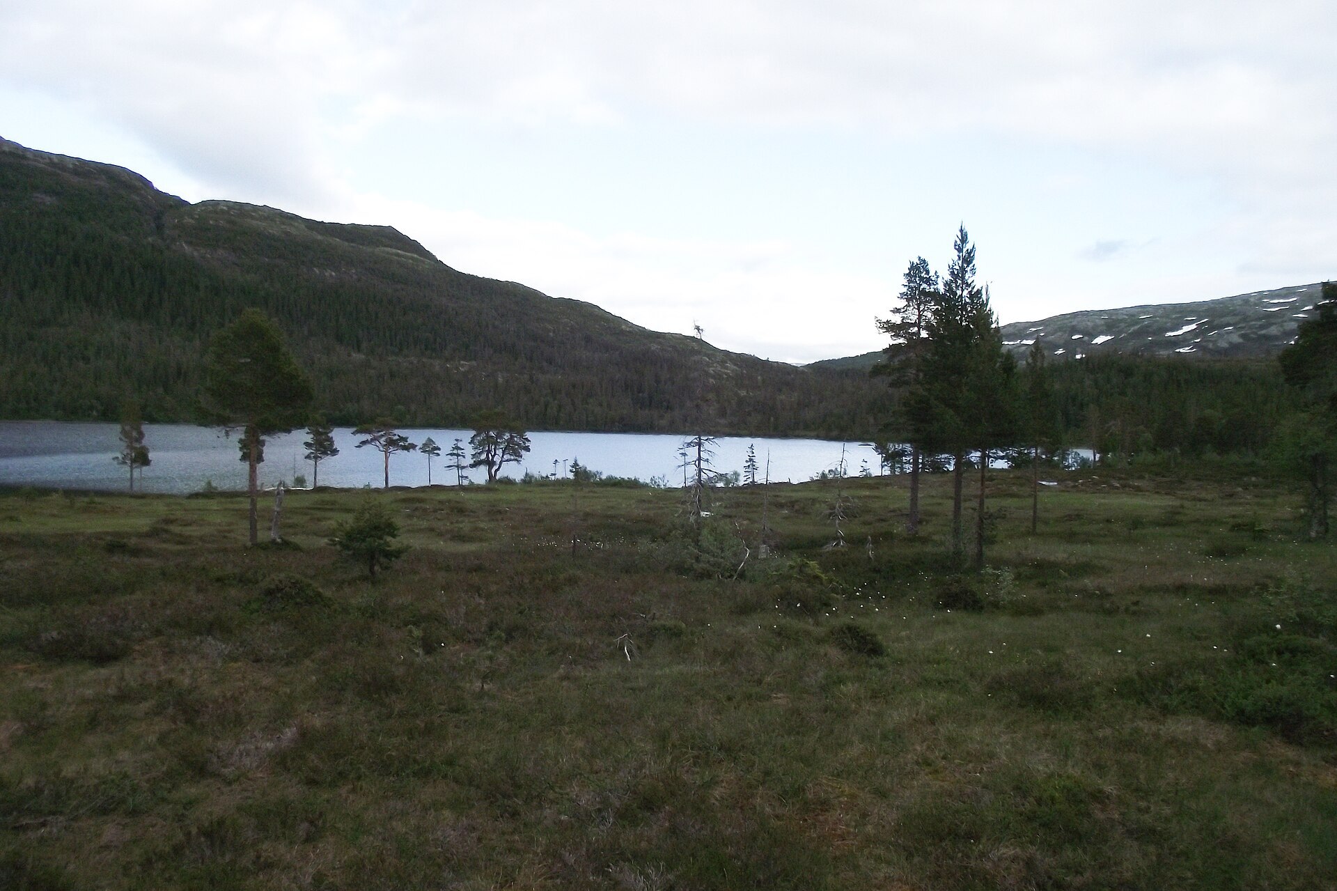
Visiting: the easiest way in by camper is Sarvejælla, the Sámi gateway on Fv76 (Tosenvegen), about 8 km from the E6 junction. The pin is the car park there. Sarve means moose and jælla a flat, open valley. A signposted boardwalk path runs 3,2 km to the lake Sarvejællanjaevrie, a good walk with children. At the lake Statskog has a cabin for rent, and there is a park boat any hiker can borrow for free. Deeper in, you need a tent, a map and good navigation skills, and you will meet rivers without bridges that have to be crossed. Drones are not allowed. From the west you can also take the express boat from Forvik into Vistenfjorden. More on the park's official page and the park's own website. Nearby in our guide: Laksforsen – Grane.

Weather & Northern Lights
Now
In 24 hours
Northern Lights Chances
Weather forecast from MET Norway (yr.no). An indication, not a promise: aurora activity over this place (NOAA) times the clear sky in the best three-hour window of the night (MET Norway). The next nights rest on the Kp forecast only. More: our Northern Lights Forecast and the Northern Lights Map.
Getting there
Sarvejælla, Fv76 Tosenvegen, Grane, Norway
Nearby
- Snarkjøp FiplingdalNearest shop20 km
- Vinmonopolet BrønnøysundNearest Vinmonopolet · 53 km
- Anddalsvåg Ferry QuayNearest ferry50 km
- Svenningdal CampingNearest campsite14 km
Data from OpenStreetMap (ODbL)
On the way
Road reports within 40 km and the nearest road cameras, from Statens vegvesen (NLOD). The pictures refresh every few minutes; the reports are put into English word by word. All road cameras
Reviews
Rate this place
You are, or have been here? Give it your stars.
Comments
Thank you! Your comment is shown once we have read it.
No comments yet.
Write a comment
Let us know your experience with this place -- did something change? Your comment is shown once we have read it.
Please write a few words.
Thank you -- that is enough for now. Please try again in an hour.