

Lyngen Alps
About
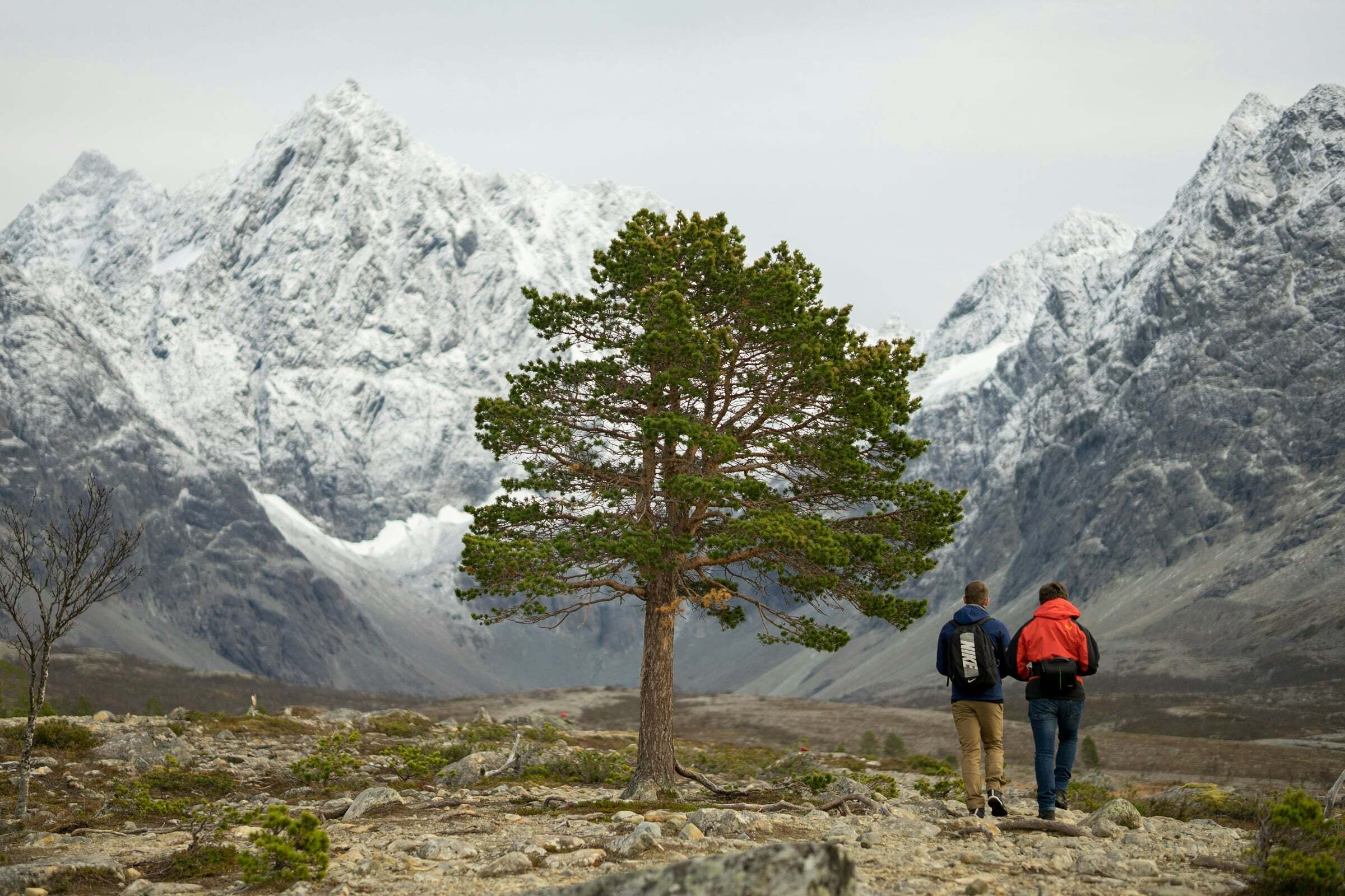
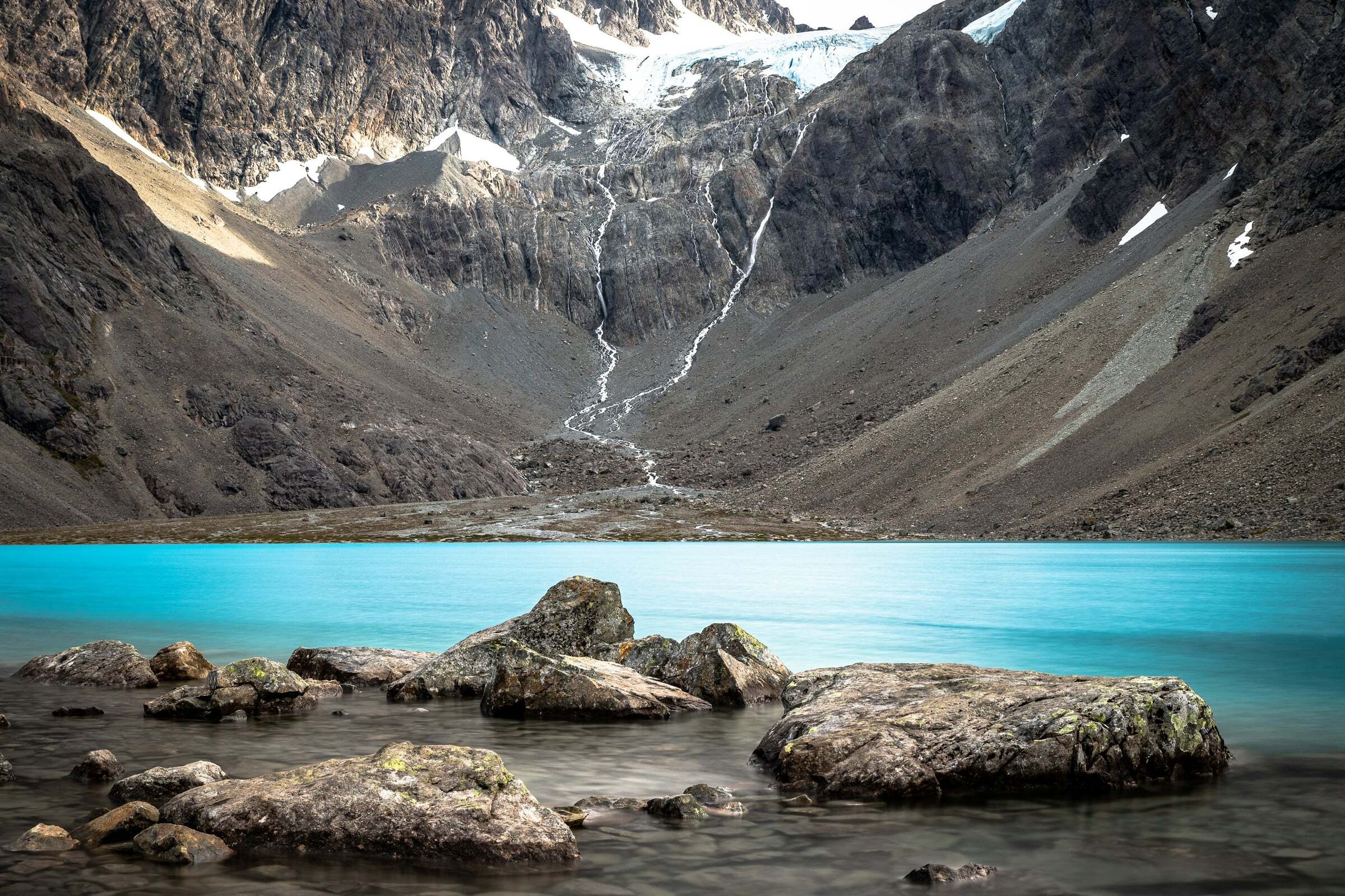
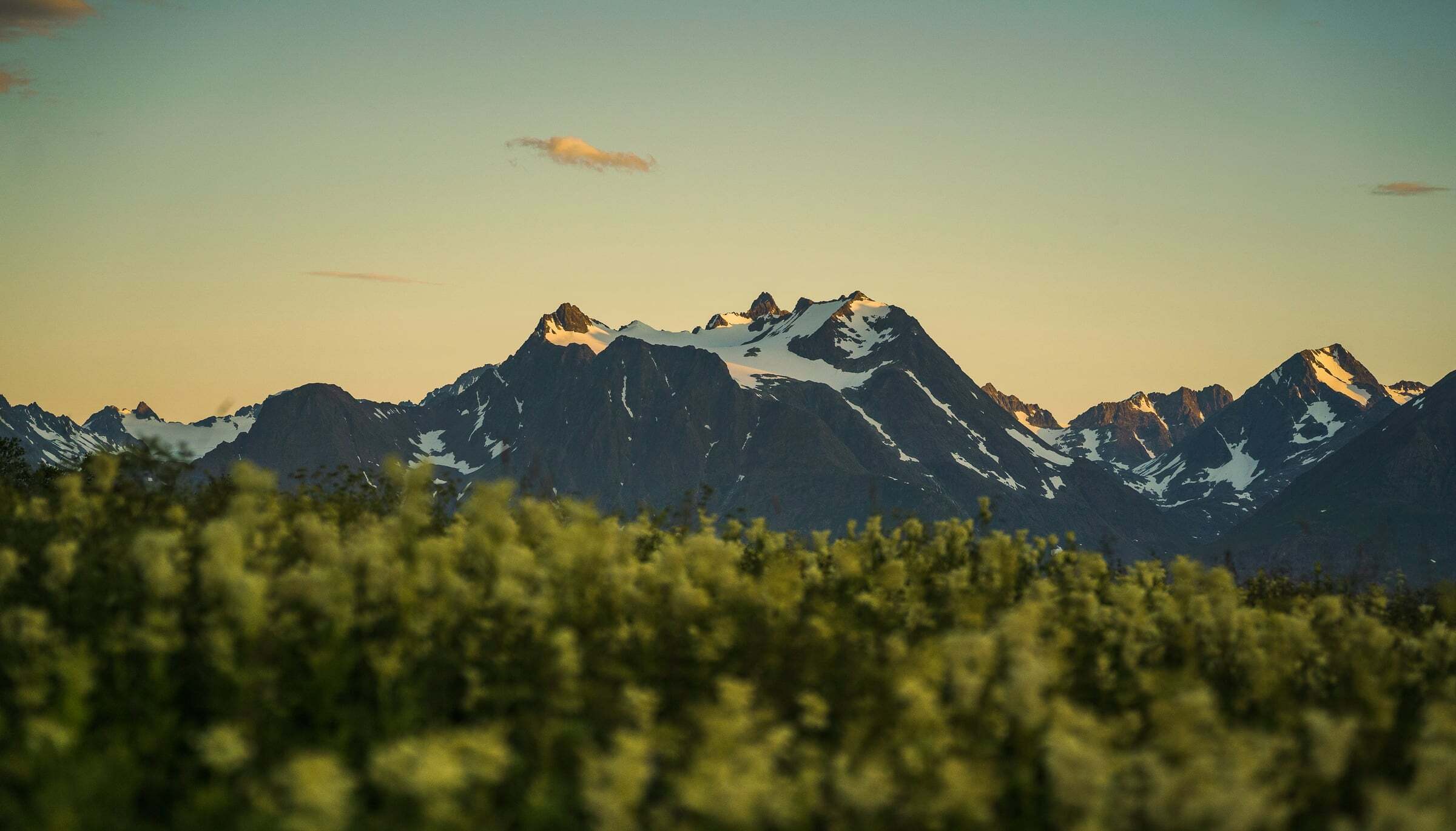
The Lyngen Alps fill the Lyngen peninsula east of Tromsø: sharp, glaciated peaks that rise straight out of the fjord, with Jiehkkevárri as the highest mountain in Troms. In summer it is a hiking area with 43 described hikes in the Lyngenfjord region, including the turquoise glacier lake Blåisvatnet; in spring it is famous for ski touring, and in winter the Lyngenfjord is known as a good place for the Northern Lights. The pin marks Lyngseidet, the village at the heart of the peninsula.
Getting there from Tromsø: take the E8 to Fagernes (20 km) and the Rv91 to the Breivikeidet ferry – 20 minutes across to Svensby, then about 30 minutes’ drive to Lyngseidet. From Lyngseidet a second ferry crosses to Olderdalen in about 40 minutes. Without the first ferry you can drive round via Oteren and the Fv868 to Lyngseidet. Timetables at svipper.no.
Tips for campers: the best time for hiking is mid-June to early October. Dogs must be on a lead from 1 April – in Lyngen until 15 October. Drones are not allowed in national parks and protected landscapes without a permit. Watch the weather and the avalanche warnings in the mountains. Hikes and spots in our guide: Blåvatnet and Lyngstuva.


Weather & Northern Lights
Now
In 24 hours
Northern Lights Chances
Weather forecast from MET Norway (yr.no). An indication, not a promise: aurora activity over this place (NOAA) times the clear sky in the best three-hour window of the night (MET Norway). The next nights rest on the Kp forecast only. More: our Northern Lights Forecast and the Northern Lights Map.
Getting there
Lyngseidet, 9060 Lyngen, Norway
Nearby
- Spar LyngseidetNearest shop · right here
- Bunker Oil LyngseidetFuelright here
- Toiletsright here
- LyngseidetNearest villageright here
- Vinmonopolet LyngenNearest Vinmonopolet · 500 m
- Lyngseidet - Olderdalen FerryNearest ferry200 m
- Riddu hovedcampNearest campsite13 km
Data from OpenStreetMap (ODbL)
On the way
Road reports within 40 km and the nearest road cameras, from Statens vegvesen (NLOD). The pictures refresh every few minutes; the reports are put into English word by word. All road cameras
Reviews
Rate this place
You are, or have been here? Give it your stars.
Comments
Thank you! Your comment is shown once we have read it.
No comments yet.
Write a comment
Let us know your experience with this place -- did something change? Your comment is shown once we have read it.
Please write a few words.
Thank you -- that is enough for now. Please try again in an hour.