

Photos: Unknown photographer (Nasjonalbiblioteket) (Public domain), Algkalv (Public domain), Linus Folke Jensen (CC BY-SA 4.0) · Wikimedia Commons
1 / 3Rjukan
About
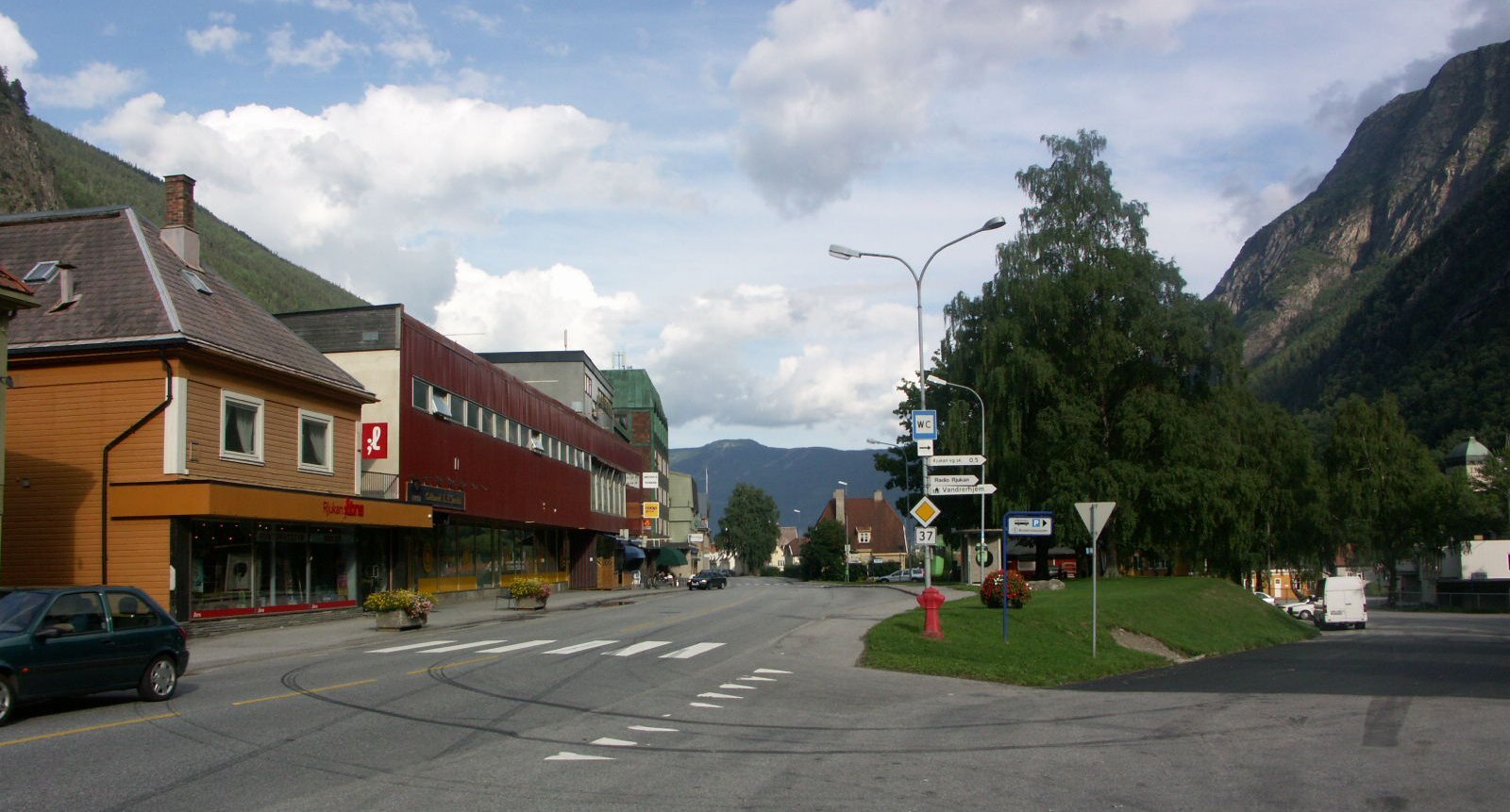
Rjukan lies at the bottom of Vestfjorddalen, a valley so narrow and deep that the sun doesn't reach the town from about October to March. Two long streets run along the north side of the valley floor above the river Måna, and to the south rises Gaustatoppen, the highest mountain in Telemark. Almost all of it was built in one go. Norsk Hydro raised the town between 1907 and 1920 to make fertiliser with power from the waterfall Rjukanfossen, and where there had been a few farms, more than 8.000 people now lived. Engineers got villas on the sunnier slope, workers got houses in districts like Rødbyen, and Tyskerbyen is named after the German engineers who lived there. The last fertiliser was made in 1991, and in 2015 Rjukan and Notodden went on UNESCO's World Heritage List together.
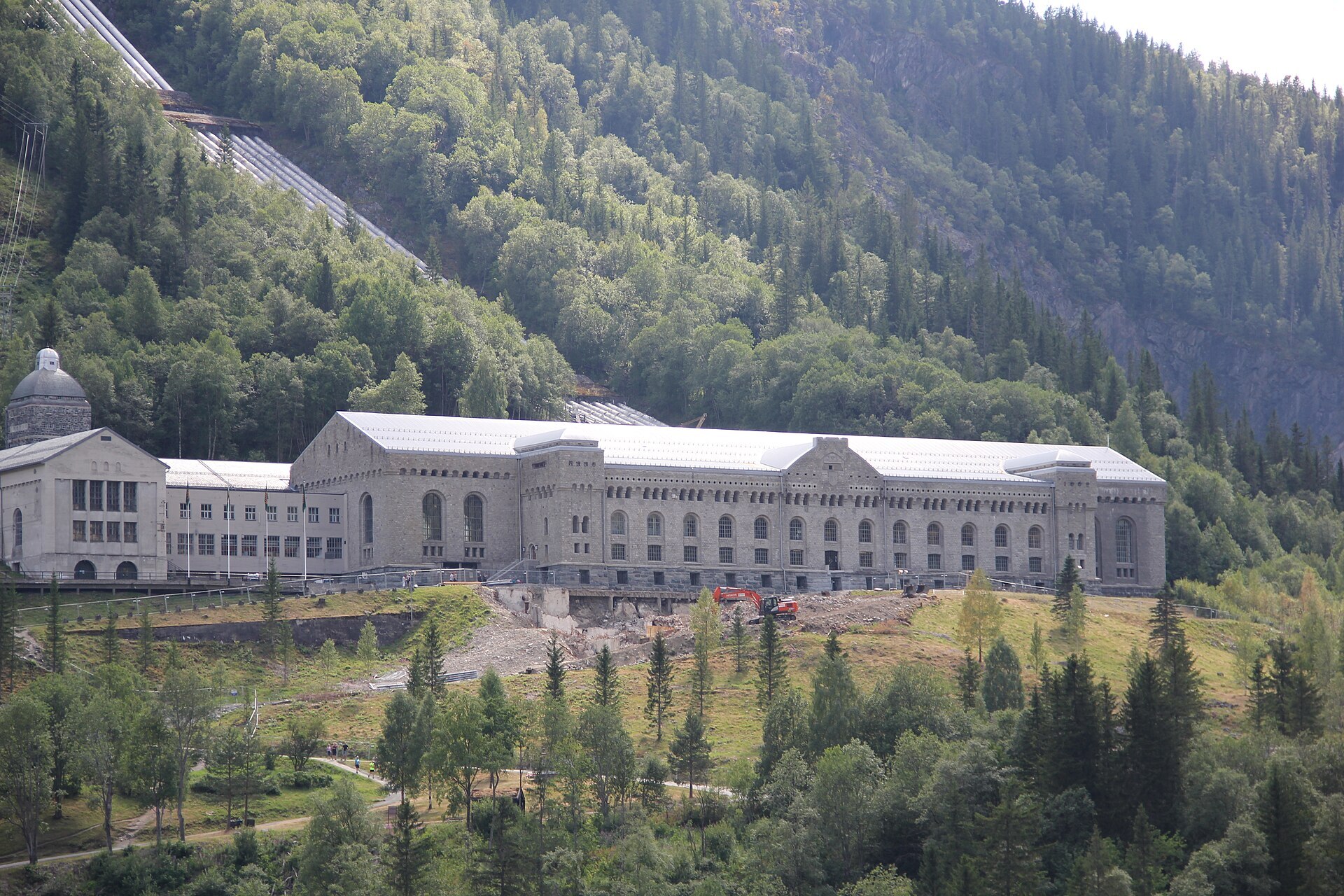
Local knowledge: the town is named after the waterfall, Old Norse Rjúkandi, "the smoking one". The place was called Saaheim until 1912, and it has called itself a town since 1996. The moment the world remembers came in the war. The hydrogen plant at Vemork was then the only place making heavy water, which the Germans needed for their atomic research. On the night of 28 February 1943 nine Norwegian commandos from Kompani Linge crossed the gorge of the frozen Måna, followed the railway line into the plant and blew up the heavy-water cells. Not a shot was fired. A year later the ferry carrying what was left of the heavy water was sunk on Tinnsjå, and 14 Norwegians and 4 Germans died.
Born here: Knut Haugland (1917–2009) was the radio operator who kept in touch with London from Hardangervidda through the winter of 1942–43. Four years later he crossed the Pacific as the radio man on Thor Heyerdahl's raft Kon-Tiki. His friend Gunnar Sønsteby, the most decorated citizen in Norwegian history, grew up here.
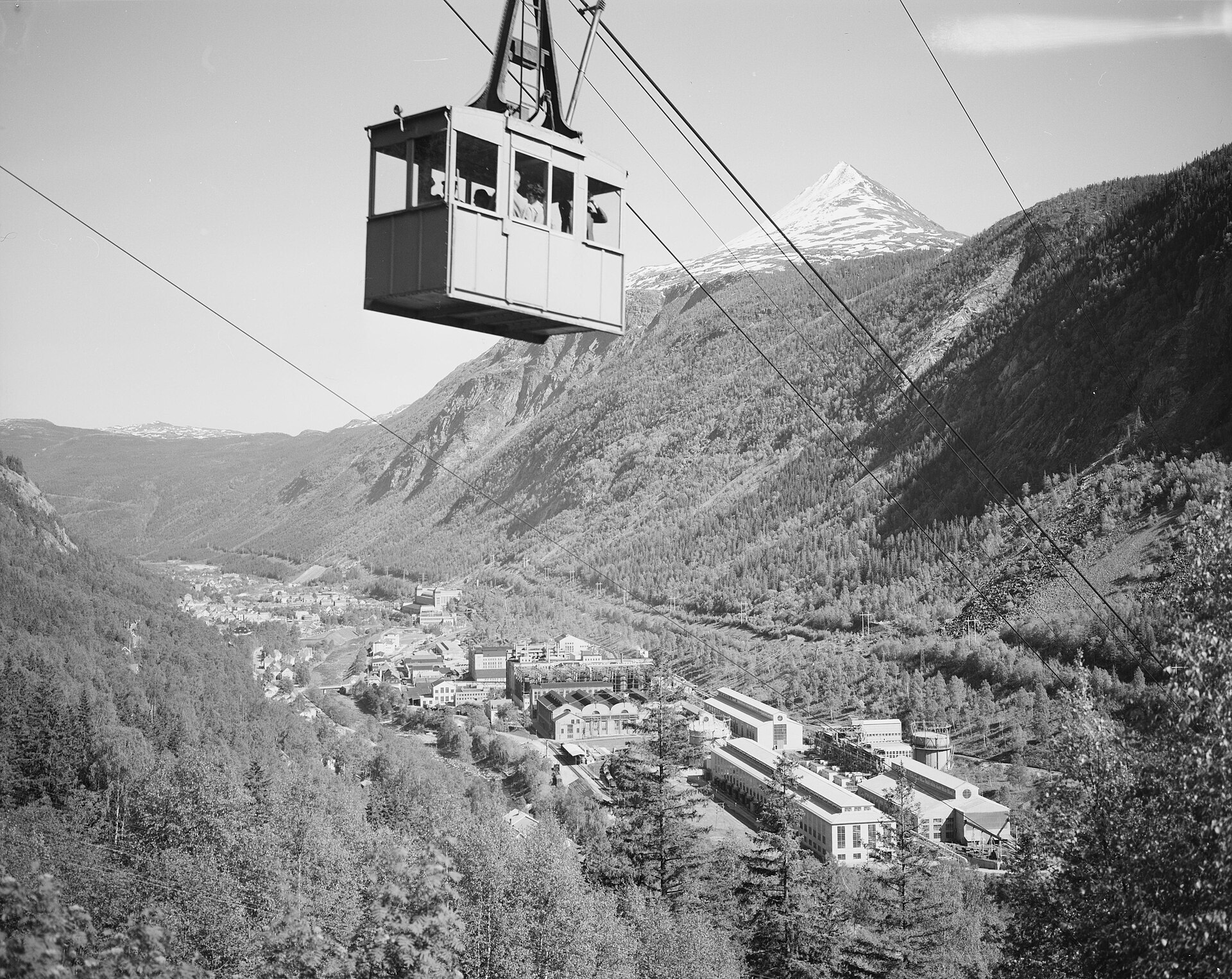
Visiting: the pin points to the tourist information on Torget, the square, open on weekdays all year. In winter, three computer-controlled mirrors high on the mountainside throw a patch of sunlight onto that square. A bookkeeper, Oscar Kittilsen, had the idea in 1913 and Sam Eyde liked it, but the technology wasn't there. Hydro built the cable car Krossobanen in 1928 instead, to lift people up into the sun, and the mirrors finally came in 2013. The real sun is back on Fabrikkbrua around 12 March, when the town holds its Solfest. On a rainy day, go out to Vemork, where the old power station is now the Norwegian Industrial Workers Museum, open all year, with the story of the sabotage. And on Gaustatoppen, Gaustabanen, built for NATO, takes you inside the mountain by tram and cable car up to 1.800 metres.
Fact sheet
- People: 2.996 in Rjukan, 5.515 in Tinn municipality
- County: Telemark
- Town since: 1996
- Typical industries: hydropower, hotels and other accommodation
Population on 1 January 2026, from Statistics Norway. Typical industries are the ones with a much bigger share of the jobs here than in Norway as a whole (Statistics Norway, 2025).
Weather & Northern Lights
Now
In 24 hours
Northern Lights Chances
Weather forecast from MET Norway (yr.no). An indication, not a promise: aurora activity over this place (NOAA) times the clear sky in the best three-hour window of the night (MET Norway). The next nights rest on the Kp forecast only. More: our Northern Lights Forecast and the Northern Lights Map.
Getting there
Torget 2, 3660 Rjukan, Norway
Nearby
- Kiwi Rjukan SentrumNearest shop · 400 m
- Circle K RjukanFuel500 m
- RjukanNearest townright here
- Vinmonopolet RjukanNearest Vinmonopolet · 200 m
- Nissedal Ferry QuayNearest ferry78 km
- Rjukan bobilparkering SåheimsveienNearest motorhome park500 m
Data from OpenStreetMap (ODbL)
On the way
Road reports within 40 km and the nearest road cameras, from Statens vegvesen (NLOD). The pictures refresh every few minutes; the reports are put into English word by word. All road cameras
Reviews
Rate this place
You are, or have been here? Give it your stars.
Comments
Thank you! Your comment is shown once we have read it.
No comments yet.
Write a comment
Let us know your experience with this place -- did something change? Your comment is shown once we have read it.
Please write a few words.
Thank you -- that is enough for now. Please try again in an hour.