

Photos: Bjørn Christian Tørrissen (CC BY-SA 3.0), Bjørn Christian Tørrissen (CC BY-SA 4.0), Bjørn Christian Tørrissen (CC BY-SA 3.0) · Wikimedia Commons
1 / 3Rohkunborri National Park
About
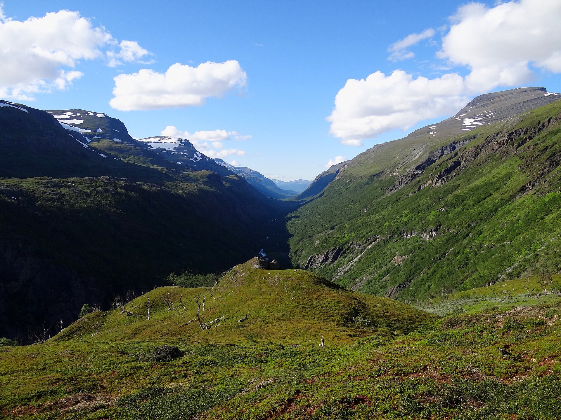
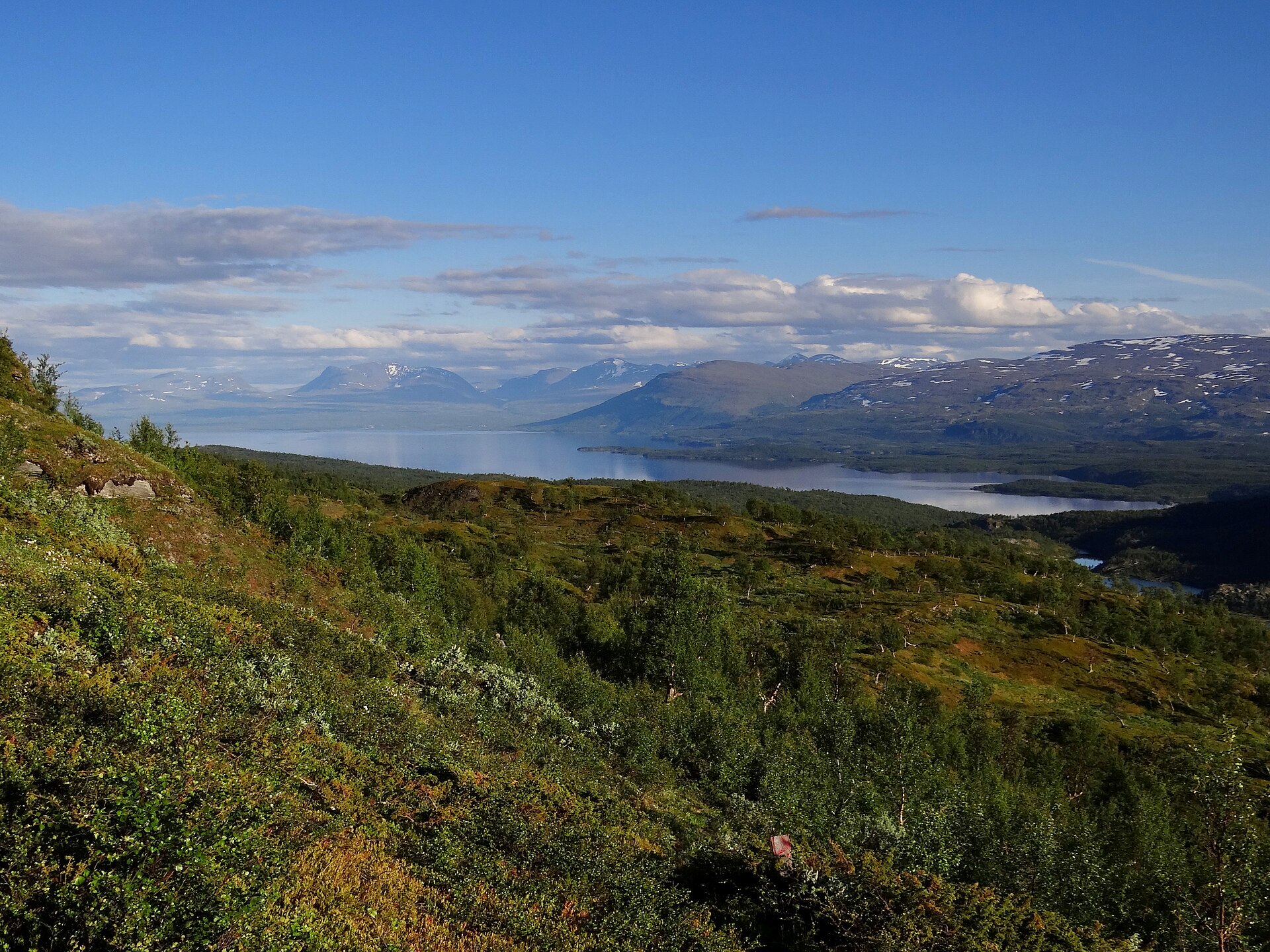
At the head of Sørdalen in Bardu the valley suddenly narrows into a canyon about five kilometres long and more than 200 m deep. It was blasted out at the end of the last Ice Age, when the ice blocked the natural outlet of Lake Torneträsk on the Swedish side and the meltwater poured north through here instead. On both sides glacier-capped peaks rise above 1.500 m, while the valley floor is lush birch and grey alder forest. Further east the land opens up into fells, marshes and the big lake Geavdnjajávri, below the massif that gave the park its name, Rohkunborri at 1.659 m. The park was created in 2011, covers 556 km² and meets Sweden's Vadvetjåkka National Park at the border. Wolverine, lynx and bear live here, and gyrfalcons and golden eagles nest on the cliffs.
Local knowledge: these valleys have always been a way across the border. Around 1900 young farmers from Bardu walked over the mountains to Sweden to saw sleepers and dig tunnels for the Ofoten iron ore railway, and in autumn 1944 local guides led refugees up Isdalen towards Sweden. In 1923 a ragged man came down the other way, past Staggonjunni and into Sørdalen. He called himself Otto Nudinen and was a deserter from the Finnish war who had walked along the border all the way from Kirkenes. The farm at Sørmo took him in, and he stayed ten years, worked on the farms, cut hay in the forest and built a sledge for a girl who drove a reindeer to school. The week before Christmas 1932 he set off up Isdalen to celebrate at Pålnoviken in Sweden. On the way back he probably took a wrong way down, and in January 1933 people found him frozen to death, sitting against a birch. Only later did it come out that his real name was Juha Henninen.
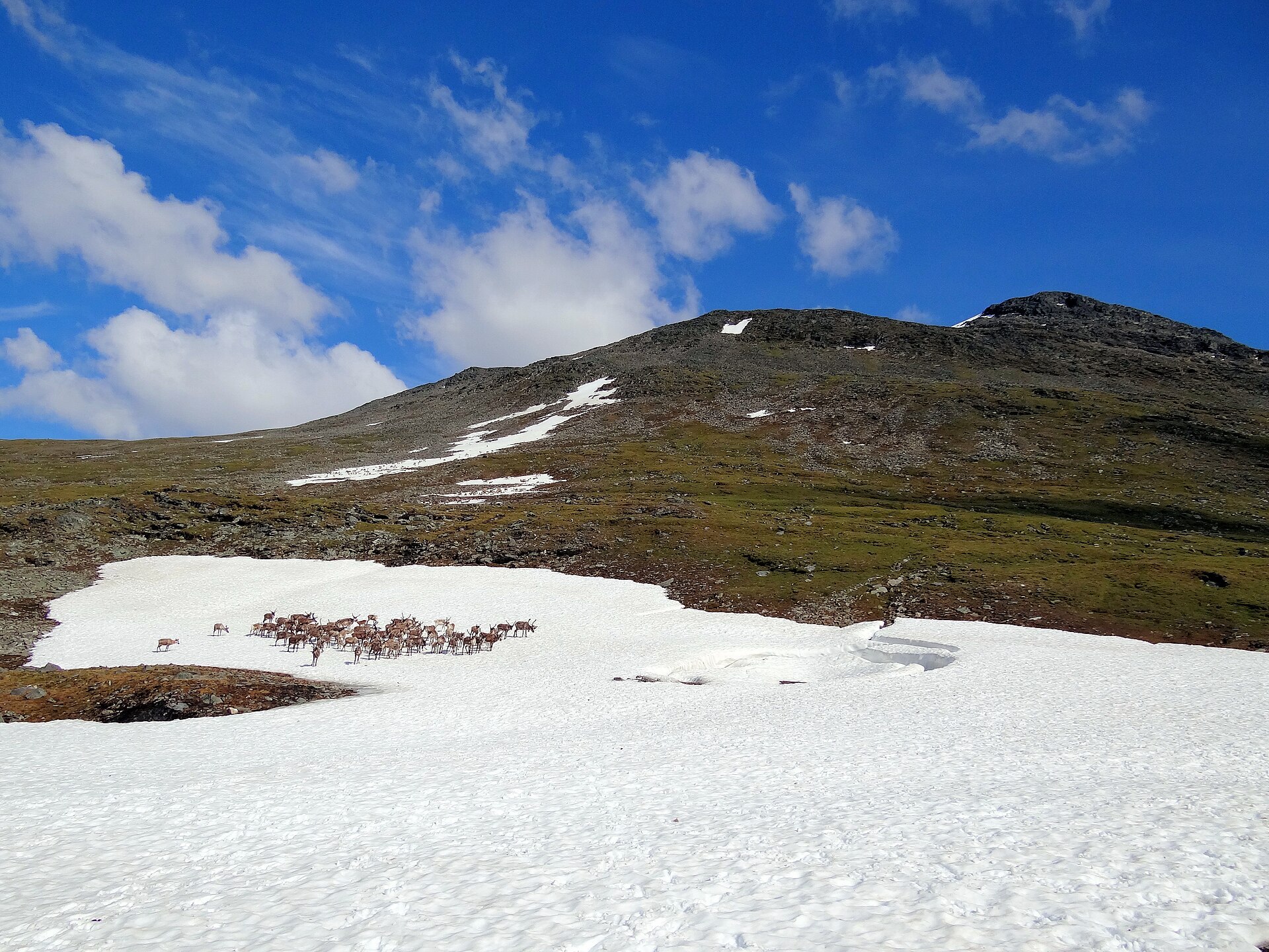
Visiting: from Setermoen take Fv8470 towards Øvre Bardu chapel, then follow Sørdalsveien to its end, where the pin is and where there is parking and a toilet. From here you walk south along the old cart track up the valley, a few hours of easy walking to Staggonjunni, before the climb out of the birch forest towards the canyon. In summer you can't walk through the canyon itself, the walls are sheer and the lakes deep. The Nordkalottruta trail passes the DNT hut Lappjordhytta on the Swedish border, and Geavdnjajávri is known for its Arctic char. This is a proper mountain trip with no huts on the way in, so bring a tent if you go far. In May and June reindeer calve here: keep your distance. Drones and e-bikes are not allowed. More on the park's official page. Nearby in our guide: Henrikafossen – Spansdalen and Løvås Troms.

Weather & Northern Lights
Now
In 24 hours
Northern Lights Chances
Weather forecast from MET Norway (yr.no). An indication, not a promise: aurora activity over this place (NOAA) times the clear sky in the best three-hour window of the night (MET Norway). The next nights rest on the Kp forecast only. More: our Northern Lights Forecast and the Northern Lights Map.
Getting there
Sørdalen, Bardu, Norway
Nearby
- Extra SetermoenNearest shop27 km
- Vinmonopolet SetermoenNearest Vinmonopolet · 27 km
- Sørrollnes Ferry QuayNearest ferry70 km
- SlåttemoenNearest motorhome park13 km
Data from OpenStreetMap (ODbL)
On the way
Road reports within 40 km and the nearest road cameras, from Statens vegvesen (NLOD). The pictures refresh every few minutes; the reports are put into English word by word. All road cameras
Reviews
Rate this place
You are, or have been here? Give it your stars.
Comments
Thank you! Your comment is shown once we have read it.
No comments yet.
Write a comment
Let us know your experience with this place -- did something change? Your comment is shown once we have read it.
Please write a few words.
Thank you -- that is enough for now. Please try again in an hour.