

Seiland National Park
Gale · yellow warning (for the sea along the coast)
Loppa - Slettnes lighthouse · Tue 03 Nov 20:00 – Wed 04 Nov 14:00
From Tuesday evening southwest near gale force 7, early Wednesday morning increasing to southwest gale force 8, first in the south. Fom Wednesday forenoon, occasionally strong gale force 9.
All warnings on yr.no · MET Norway
About
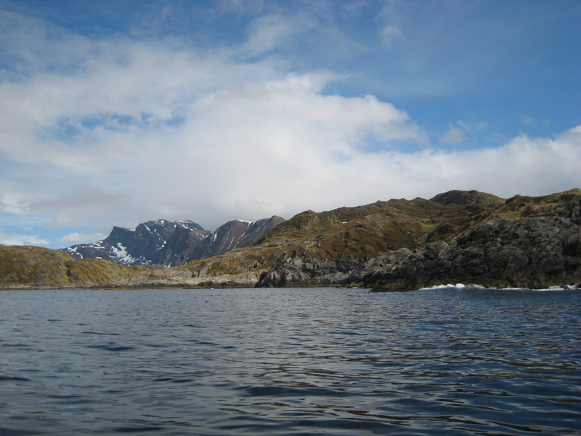
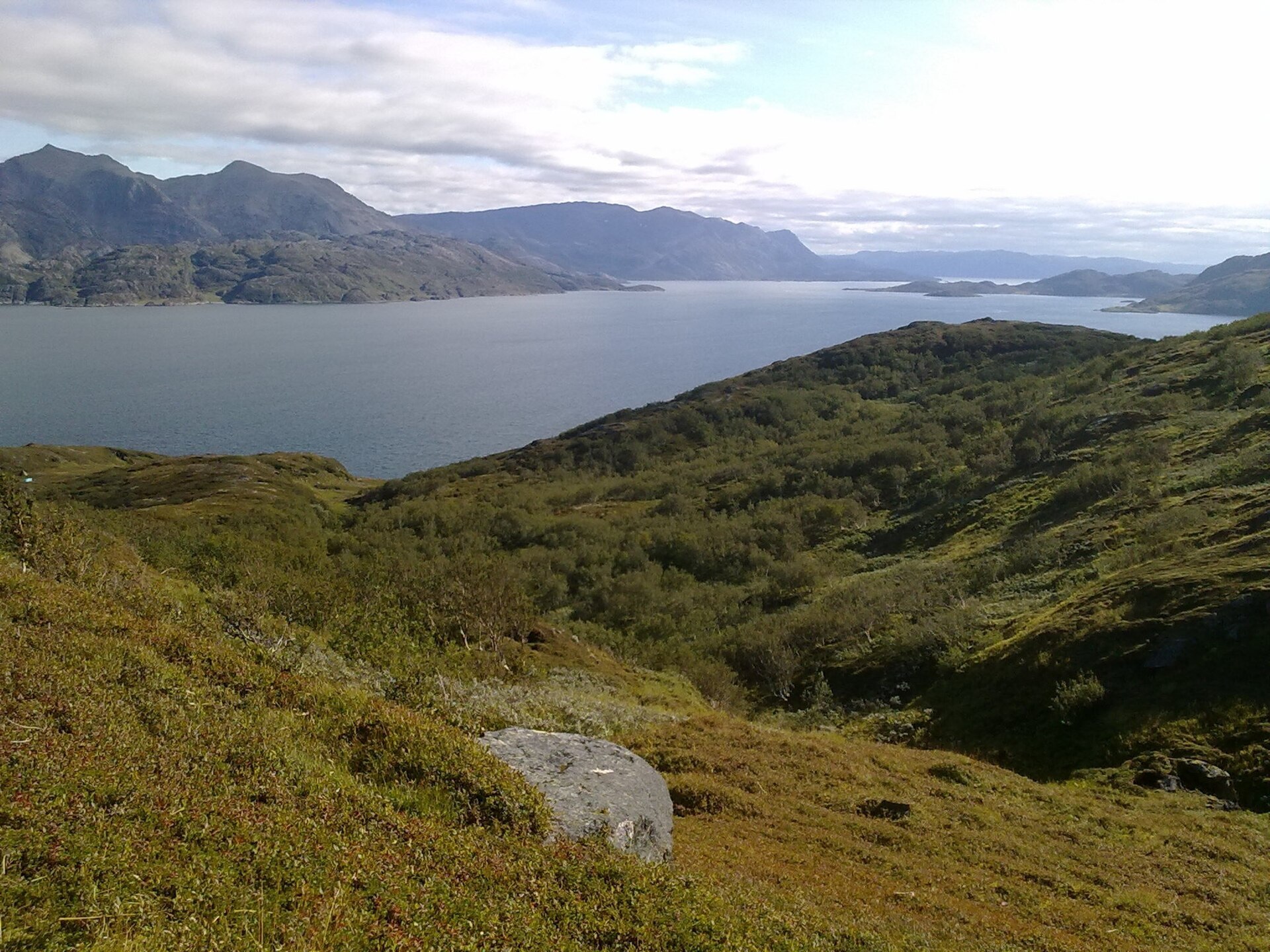
Seiland rises straight out of the sea between Alta and Hammerfest, and the national park covers a little over half the island. Long fjords like Store Kufjorden and Jøfjorden almost cut it in two, mountainsides drop steeply into the water, and up on top lie Europe's northernmost glaciers outside Svalbard, Seilandsjøkelen and what is left of Nordmannsjøkelen. Nowhere else did glaciers form this close to sea level, and few melt faster. Their meltwater gives the Melkevatnan lakes and the Melkelva river a milky turquoise colour. The highest point is Seilandstuva at 1.078 m. The park was created in 2006 and covers 316 km². Reindeer calve and spend the summer on the island, and white-tailed and golden eagles nest on the cliffs.
Local knowledge: the island looks like wilderness, but people have lived in its fjords since the Stone Age, mostly Sea Sámi families who fished and kept sheep. Every late summer they rowed out to the steep meadows to cut hay for the winter. On the steepest slopes the grass was raked into old net bags and rolled down to the boats. In Store Bekkarfjord families slept in fishing boats, in tents or under upturned rowing boats, and at night you could see their fires along the shore. Nearly 200 hay strips, many only 20 to 80 m wide, were measured out there in 1783, and they are still private land. Higher up, on Seilandstuva, stands a cairn built in 1847 by the men measuring the Struve Geodetic Arc, now on the UNESCO World Heritage list. The story goes that sea fog, wind and snow forced them to try five times before they got their readings.
Visiting: there are no roads, marked trails or open cabins inside the park. With a campervan you come in from the north: take the ferry from Strømsnes, 9 km south of Hammerfest, to Kjerringholmen and drive the narrow, winding 19 km road to Hønseby. The shop has a small exhibition about the park and a toilet for visitors, and just past it is the hikers' car park with information boards, where the pin is. A marked trail runs 9 km to the park border. For a short walk, follow it 2 km to a trip post box with a view over Hønsebyfjorden and Sørøysundet and turn there. The paths are under snow from about October/November to May/June. Inside the park expect scree, cliffs and rivers you cannot cross, and never try to wade the Melkelva. Keep dogs on a lead from 1 April to 20 August and give reindeer room, especially in spring when the calves are born. More on the park's official page and Seiland National Park's own website. Nearby in our guide: Kvalsund, Salen hike in Hammerfest and Meridian Column – Hammerfest, the northern end of the same Struve Arc.

Weather & Northern Lights
Now
In 24 hours
Northern Lights Chances
Weather forecast from MET Norway (yr.no). An indication, not a promise: aurora activity over this place (NOAA) times the clear sky in the best three-hour window of the night (MET Norway). The next nights rest on the Kp forecast only. More: our Northern Lights Forecast and the Northern Lights Map.
Getting there
Hønseby, Seiland, Hammerfest, Norway
Nearby
- Bunnpris RypefjordNearest shop · 16 km
- Vinmonopolet HammerfestNearest Vinmonopolet · 18 km
- Kjerringholmen Ferry QuayNearest ferry7,8 km
- Hammerfest havnNearest motorhome park18 km
Data from OpenStreetMap (ODbL)
On the way
Road reports within 40 km and the nearest road cameras, from Statens vegvesen (NLOD). The pictures refresh every few minutes; the reports are put into English word by word. All road cameras
Reviews
Rate this place
You are, or have been here? Give it your stars.
Comments
Thank you! Your comment is shown once we have read it.
No comments yet.
Write a comment
Let us know your experience with this place -- did something change? Your comment is shown once we have read it.
Please write a few words.
Thank you -- that is enough for now. Please try again in an hour.