

Photos: Frankemann (CC BY-SA 4.0), Tore Veisetaune (Statskog) (CC BY-SA 2.0), Frankemann (CC BY-SA 4.0) · Wikimedia Commons
1 / 3Sjunkhatten National Park
Gale · yellow warning (for the sea along the coast)
Stoett - Loedingen, Bodoe - Melbu · Tue 03 Nov 19:00 – Wed 04 Nov 10:00
From Tuesday evening southwest near gale force 7, early Wednesday morning increasing to occasionally southwest gale force 8.
All warnings on yr.no · MET Norway
About
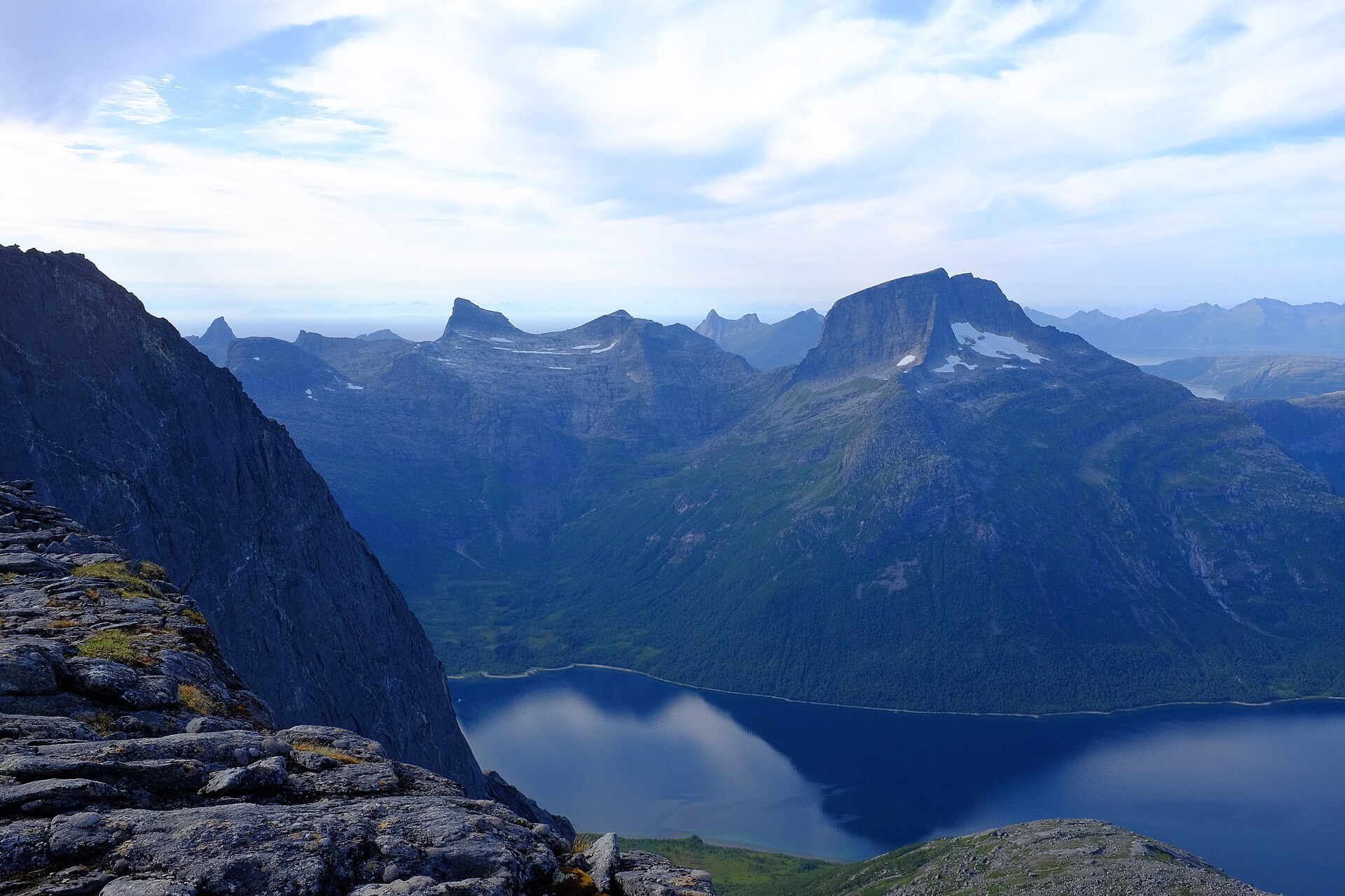
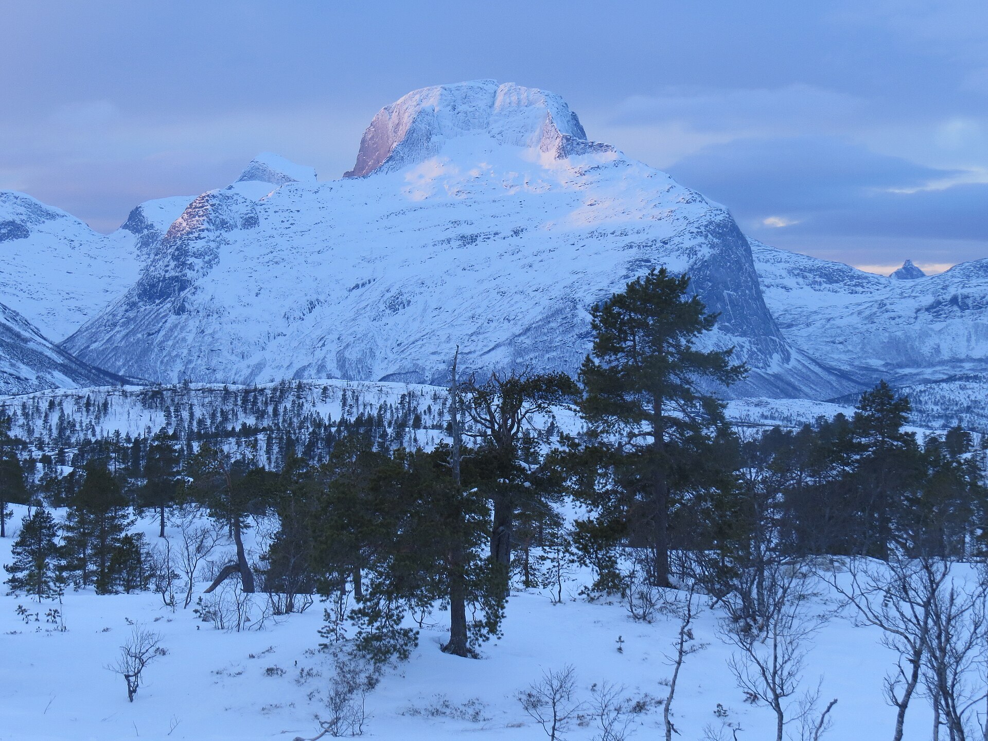
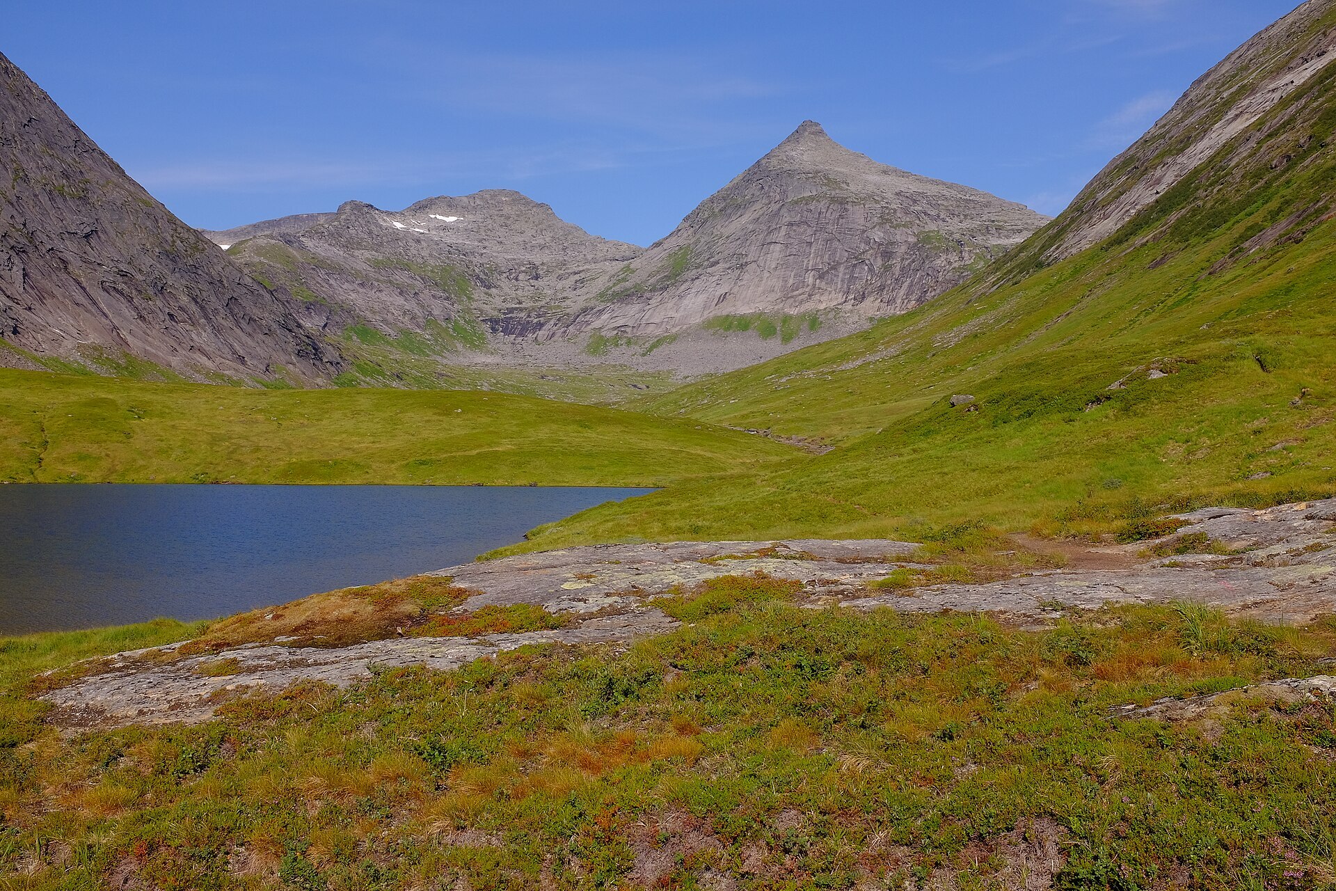
Sjunkhatten starts almost in Bodø's back garden. Behind the town a big, unbroken mountain area of 417 km² stretches north and east, with saw-tooth peaks, deep valleys, rounded fells and arms of fjord cutting in from the sea. The mountain that gave the park its name, Sjunkhatten (1.185 m), stands in the middle above Sjunkfjorden and rises more than 1.100 m from its surroundings, one of the most prominent peaks in Norway. In Sámi the park is called Dávga. Close to half of all children and young people in Nordland live nearby, which is why it got the nickname "the children's national park". Around Fridalen in the east the bedrock has marble, so there are rich lime forests and an unusual number of caves. Black-throated divers nest on the lakes and white-tailed eagles hunt over the fjords.
Local knowledge: in the old days the people of Øvre Valnesfjord walked over the mountains to church in Røsvik on the Sørfolda side. The same path was much used during the Second World War. Today it is one of the few routes in the park where you go from A to B, and every year the Sørfold local history society walks it together with other local groups to remember the old church walks. Up at Fridalen you can also see the adits of old mines, reached on the old work road locals call Stullveien.
Visiting: the pin is the large car park at Heia on Soløyvannsveien, Bodø's main entrance to the park. The area around Heia has a big network of paths and forest roads and suits children well. A tractor road leads to the Bodø og Omegns Turistforening cabin at Tussvatnet, good enough for a pram or wheelchair in summer, about 1,5 km from the park border. In winter Heia is where people set off on skis towards Erlingbu, and Kvalhornet is the classic ski top with an easy approach. From Fauske the gateway is Fridalen in Øvre Valnesfjord. The caves are fragile and not meant for casual visits. Drones and e-bikes are not allowed in the park. More on the park's official page. Nearby in our guide: Saltstraumen and Nordlandsbadet.

Weather & Northern Lights
Now
In 24 hours
Northern Lights Chances
Weather forecast from MET Norway (yr.no). An indication, not a promise: aurora activity over this place (NOAA) times the clear sky in the best three-hour window of the night (MET Norway). The next nights rest on the Kp forecast only. More: our Northern Lights Forecast and the Northern Lights Map.
Getting there
Heia, Soløyvannsveien, 8030 Bodø, Norway
Nearby
- Extra StøverNearest shop · 3,6 km
- BodøNearest town11 km
- Vinmonopolet Bodø, HunstadNearest Vinmonopolet · 5,6 km
- Bodø Ferry QuayNearest ferry11 km
- Geitvågen Bad & CampingNearest campsite5,5 km
Data from OpenStreetMap (ODbL)
On the way
Road reports within 40 km and the nearest road cameras, from Statens vegvesen (NLOD). The pictures refresh every few minutes; the reports are put into English word by word. All road cameras
Reviews
Rate this place
You are, or have been here? Give it your stars.
Comments
Thank you! Your comment is shown once we have read it.
No comments yet.
Write a comment
Let us know your experience with this place -- did something change? Your comment is shown once we have read it.
Please write a few words.
Thank you -- that is enough for now. Please try again in an hour.