

Stabbursdalen National Park
About
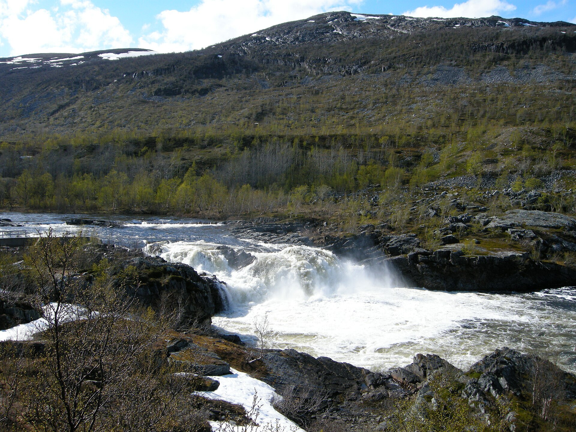
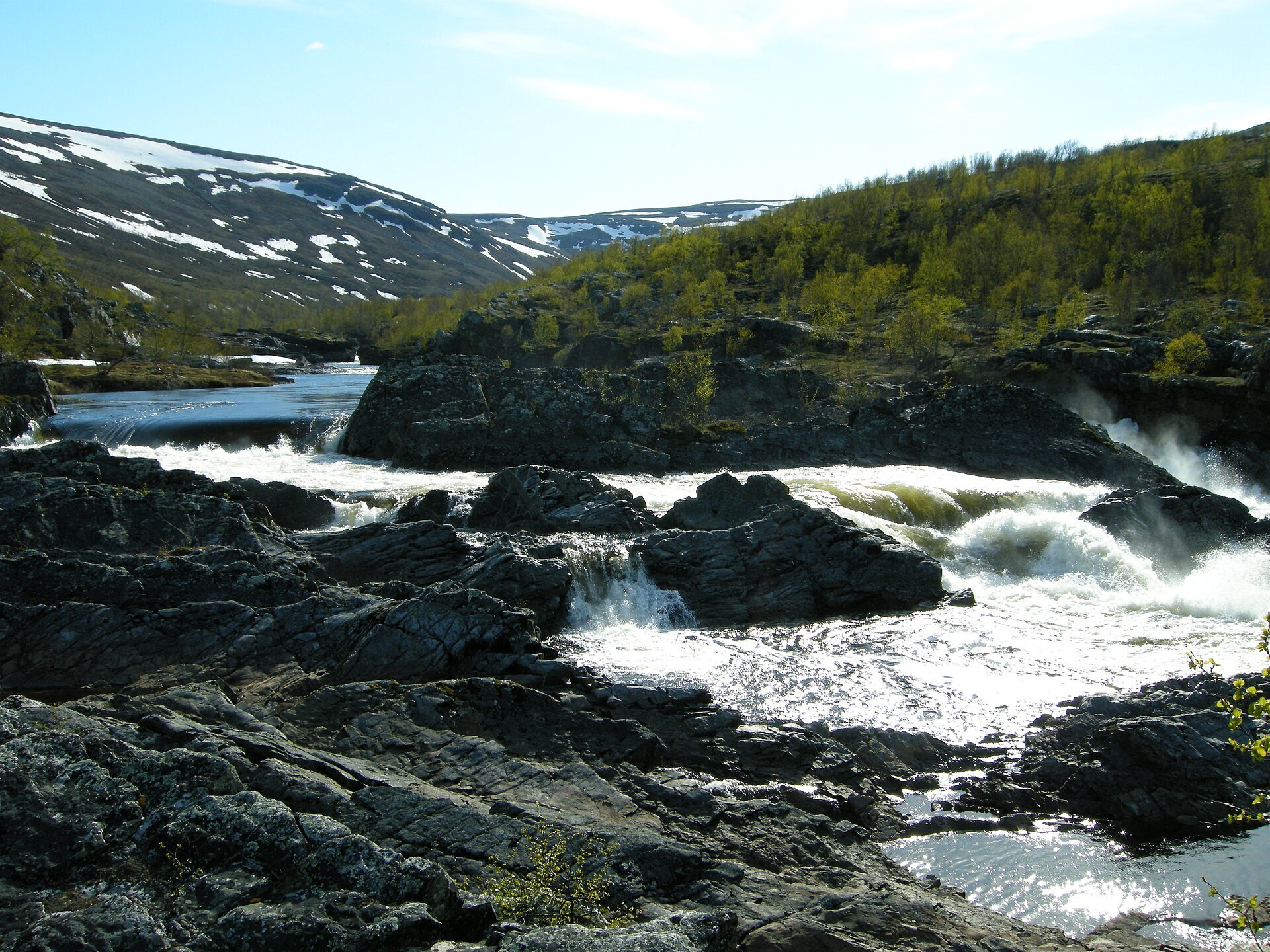
Stabbursdalen runs west into the hills from the Porsangerfjord, and a little way up the valley you walk through the northernmost pine forest in the world. The pines are low and twisted from wind and cold, they grow slowly, and some of the old ones are more than 500 years old. They hang on here because the valley lies across the fjord and mountains to the north keep off the cold sea wind. Further in, the river squeezes through a canyon with rapids and falls, and in the south-east rise the bare Gáisá mountains, where Čohkarášša reaches 1.139 m. The park was set up in 1970 and enlarged in 2002. Moose spend the winter in the pines, and lynx, wolverine and the Siberian jay live here too.
Local knowledge: for generations the valley fed the Sea Sámi families along the fjord. They cut sedge in the Lompola wetlands for winter fodder, hunted and fished, and floated timber for boats and houses down the river. Pitfall traps for wild reindeer are still in the ground, and since the 1600s domestic reindeer have taken over. The name has its own story. One explanation is that an 18th-century missionary called the valley "Tabors dal" after Mount Tabor in the Bible, to replace the Sámi name Rávttošvuopmi, and that this slowly turned into Stabbursdalen. A stabbur is a Norwegian storehouse, but there has never been one in the valley.
Visiting: from Lakselv drive about 15 km north on the E6 along the fjord. At Stabbursnes, at the top of a steep hill, turn left onto the forest road Lombolaveien and follow it about 6 km to the car park at the end, just outside the park border. That is the pin, with information boards and a bird feeding place right by the cars. Three marked trails start here: under 1 km to Rørkulpen, a quiet pool on the river with a fire pit and benches, about 5,5 km through the old pine forest to the Stabbursfossen waterfall, and about 7,5 km up Stuorra Biŋalvárri (528 m) for the view over the valley and the fjord. Don't burn pine on your campfire, not even the dead, dry trees, and remember the general ban on fires in forest from 15 April to 15 September. Dogs on a lead from 1 April to 20 August. The visitor centre, Stabbursnes Naturhus og Museum, is by the E6 about 1,5 km north of the turn-off and open all year. More on the park's official page. Nearby in our guide: Stabbursnes nature and culture trail, Fjordutsikten Camping and Skoganvarre Turist & Camping.

Weather & Northern Lights
Now
In 24 hours
Northern Lights Chances
Weather forecast from MET Norway (yr.no). An indication, not a promise: aurora activity over this place (NOAA) times the clear sky in the best three-hour window of the night (MET Norway). The next nights rest on the Kp forecast only. More: our Northern Lights Forecast and the Northern Lights Map.
Getting there
Lombola car park, Stabbursdalen, 9710 Indre Billefjord, Norway
Nearby
- Rema 1000 LakselvNearest shop · 13 km
- Toiletsright here
- LakselvNearest town13 km
- Vinmonopolet LakselvNearest Vinmonopolet · 14 km
- Korsfjord Ferry QuayNearest ferry54 km
- Stabbursdalen ResortNearest campsite5,6 km
Data from OpenStreetMap (ODbL)
On the way
Road reports within 40 km and the nearest road cameras, from Statens vegvesen (NLOD). The pictures refresh every few minutes; the reports are put into English word by word. All road cameras
Reviews
Rate this place
You are, or have been here? Give it your stars.
Comments
Thank you! Your comment is shown once we have read it.
No comments yet.
Write a comment
Let us know your experience with this place -- did something change? Your comment is shown once we have read it.
Please write a few words.
Thank you -- that is enough for now. Please try again in an hour.