

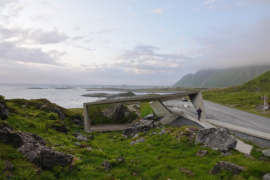
Photos: Steinar Skaar, Linda Aas Larsen, Trine Kanter Zerwekh / Statens vegvesen · Architect: Morfeus Arkitekter (Bukkekjerka) · Landscape architect: Landskapsfabrikken – Inge Dahlman (Kleivodden) · Nasjonale turistveger
Photos: Vidar Nordli-Mathisen · Unsplash
1 / 5Andøya Scenic Route and Bleik
Gale · yellow warning (for the sea along the coast)
Skomvaer - Loppa · Tue 03 Nov 18:00 – Wed 04 Nov 10:00
From Tuesday evening southwest near gale force 7, early Wednesday morning increasing to occasionally southwest gale force 8.
All warnings on yr.no · MET Norway
About
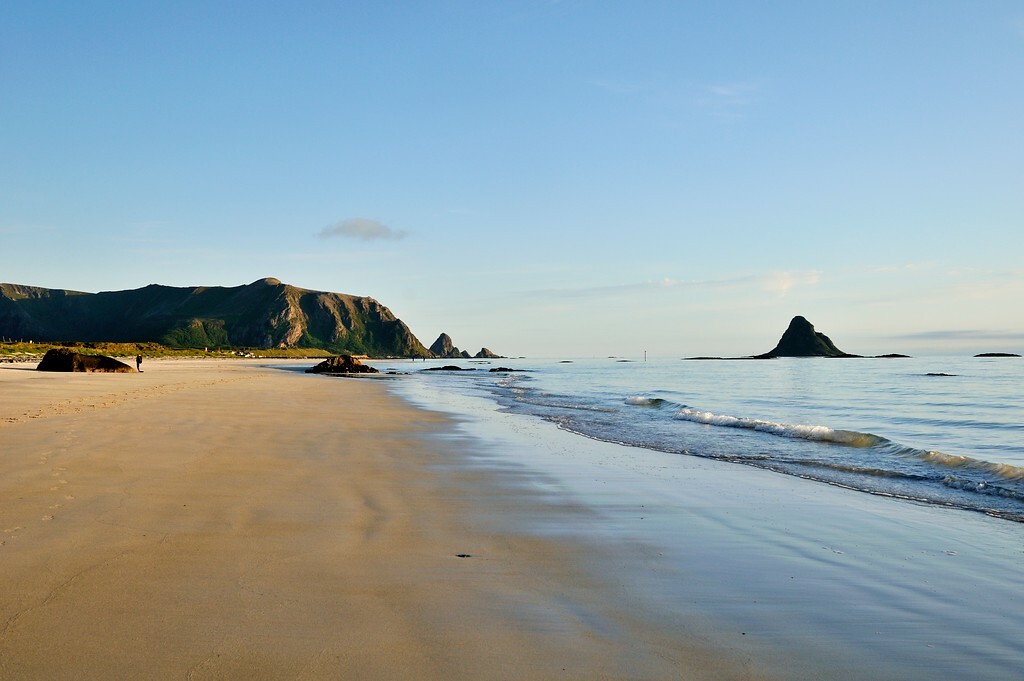
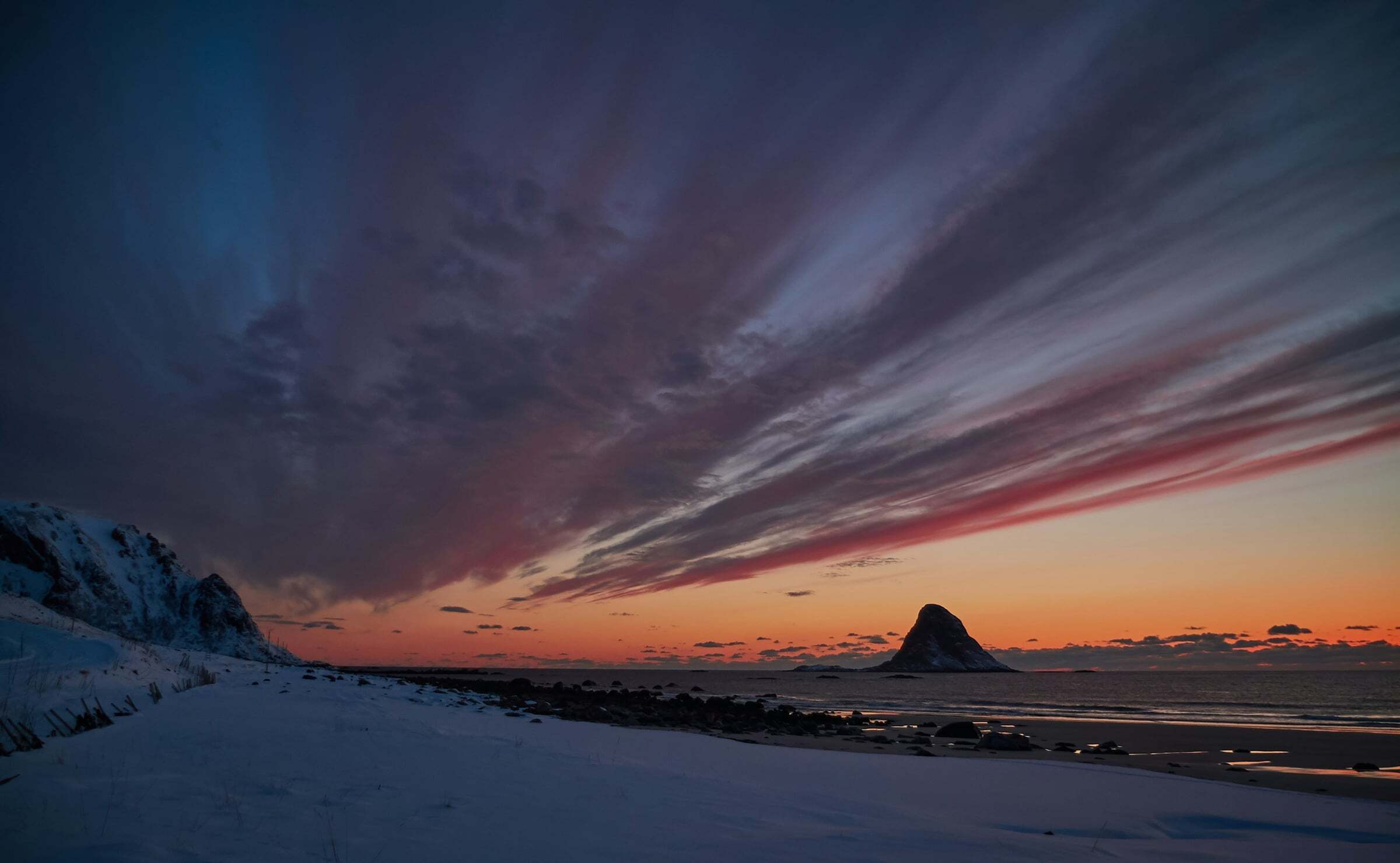
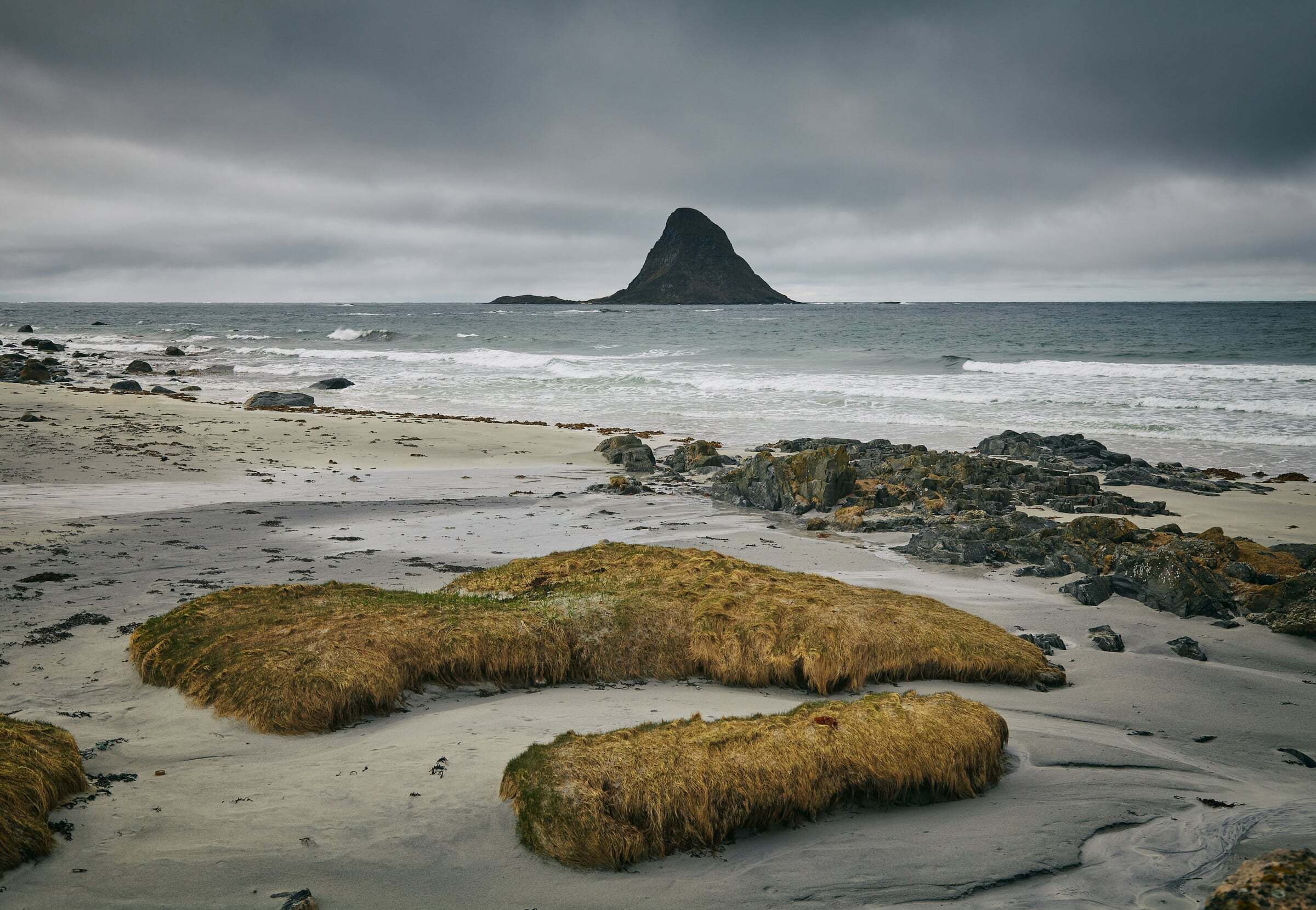
The National Tourist Route Andøya runs 58 km along the outer edge of the island, between the open sea and the mountains – with white beaches, small fishing villages and wide views out to sea. At its northern end lies Andenes, and just before it the fishing village of Bleik with its long white beach, Bleikstrand, the peak Måtinden, the Bleikmorenen nature reserve and the bird rock on the island of Bleiksøya.
Start and end: the pin marks the start at Bjørnskinn in the south – the direction of Nasjonale turistveger’s route file. The route ends in Andenes. You can drive it either way.
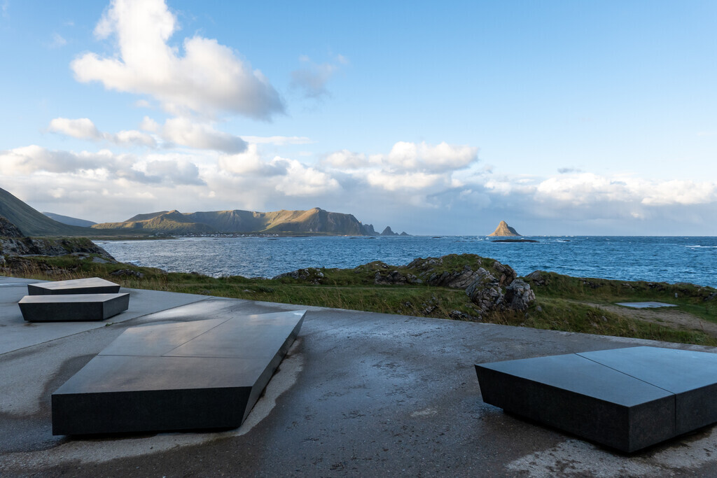
Stops on the way: Bukkekjerka, a rest area by architects Morfeus (closed until further notice; the nearest toilet is at Sandvika, about 1,5 km south), and Kleivodden north of Bleik, a wheelchair-accessible rest area by the landscape architect Inge Dahlman (Landskapsfabrikken). From Andenes there are whale safaris and deep-sea fishing trips. Andøya Spaceport lies at Børvågen – the island launched its first research rocket in 1962.
Tips for campers: the road at Andøya Spaceport can be closed for up to 8 hours during launches – check the road status before you go: the road reports further down this page show live what is reported along the route, and the map with the road conditions shows closures in red. Emptying toilets is not allowed at the rest areas; the nearest dump station is in Andenes. In summer a ferry runs between Andenes and Gryllefjord, linking Andøya with the Senja scenic route (Bergsbotn, Tungeneset).

Weather & Northern Lights
Now
In 24 hours
Northern Lights Chances
Weather forecast from MET Norway (yr.no). An indication, not a promise: aurora activity over this place (NOAA) times the clear sky in the best three-hour window of the night (MET Norway). The next nights rest on the Kp forecast only. More: our Northern Lights Forecast and the Northern Lights Map.
Getting there
Start: Bjørnskinn, Andøy, Norway
Nearby
- Joker RisøyhamnNearest shop · 1,7 km
- RisøyhamnNearest village2,0 km
- Vinmonopolet MyreNearest Vinmonopolet · 23 km
- Bjørnerå Ferry QuayNearest ferry36 km
- Ånes CampingNearest campsite9,3 km
Data from OpenStreetMap (ODbL)
On the way
Road reports and road cameras along the whole route, from Statens vegvesen (NLOD), refreshed every few minutes – a red dot means closed. The reports are put into English word by word. Road conditions on the map
Reviews
Rate this place
You are, or have been here? Give it your stars.
Comments
Thank you! Your comment is shown once we have read it.
No comments yet.
Write a comment
Let us know your experience with this place -- did something change? Your comment is shown once we have read it.
Please write a few words.
Thank you -- that is enough for now. Please try again in an hour.