

Photos: Cato Edvardsen (CC BY-SA 3.0), Frankemann (CC BY-SA 4.0), Frankemann (CC BY-SA 4.0) · Wikimedia Commons
1 / 3Breheimen National Park
About
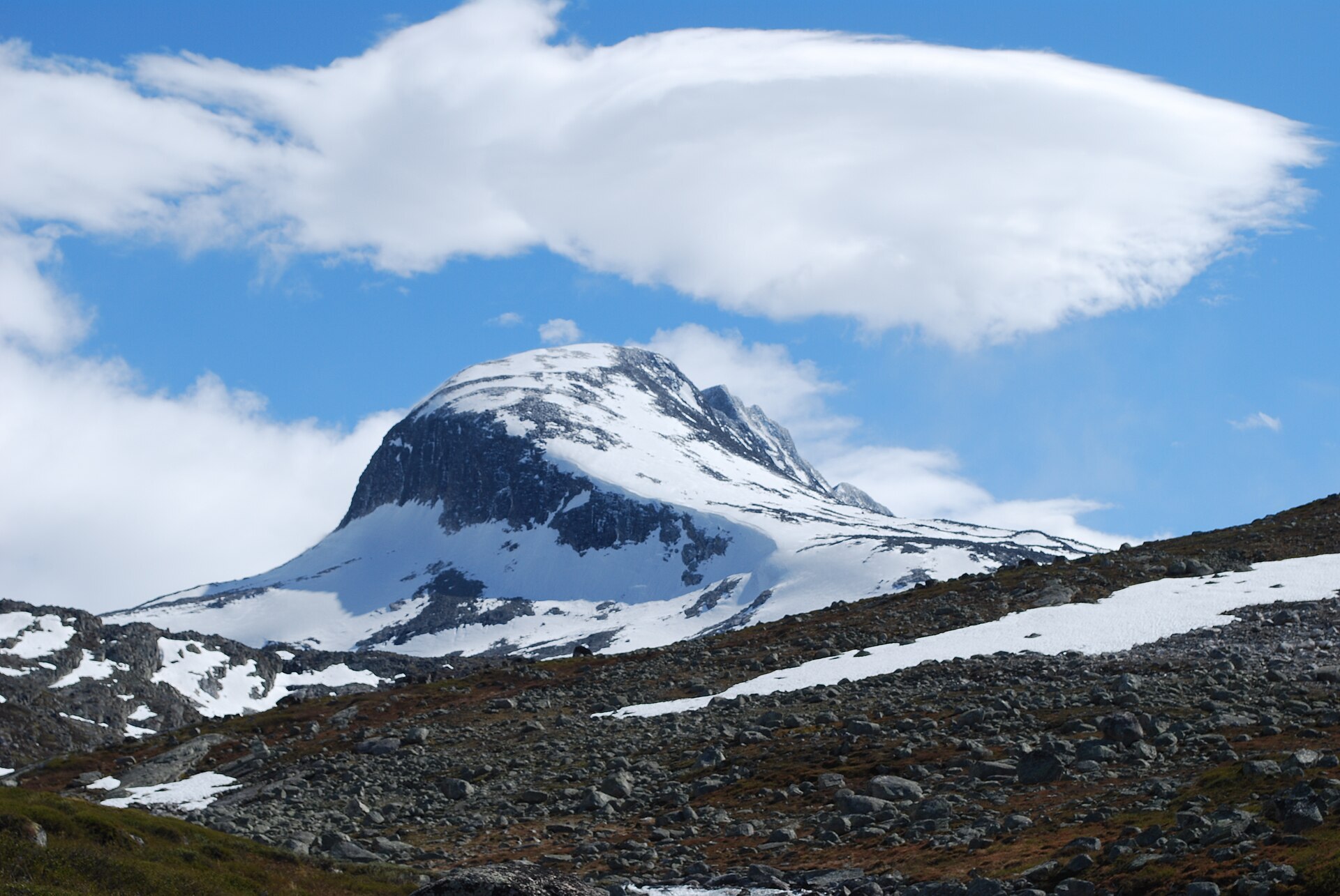
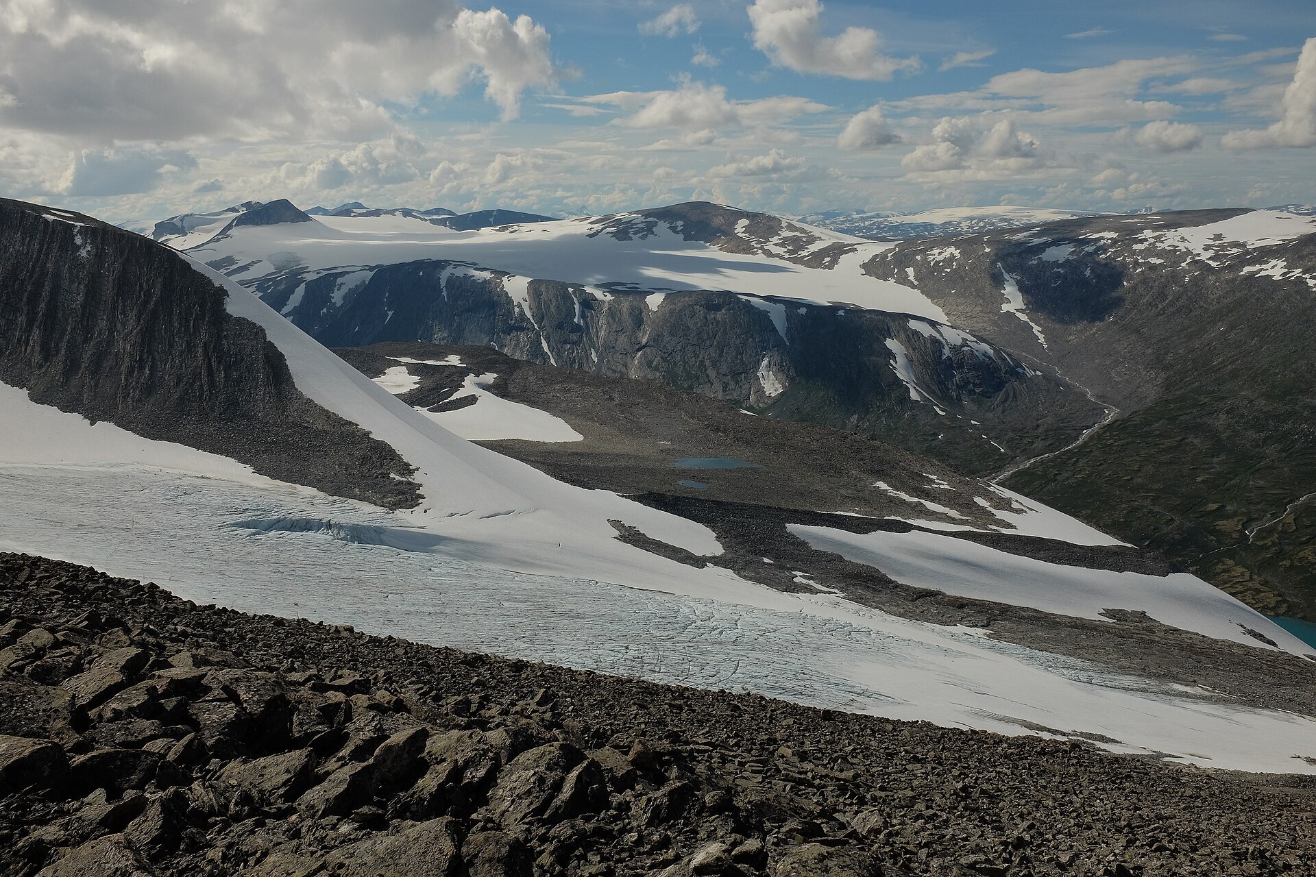
Breheimen fills the high ground between road 15 over Strynefjellet and road 55 over Sognefjellet, in Lom, Skjåk and Luster. It was protected in 2009 and covers 1.691 km². Some of the wettest and some of the driest places in Norway are found here, with plateau glaciers in the middle, lush valleys towards the west and dry pine valleys in the rain shadow to the east. The highest peak is Nørdre Hestbrepiggen (2.172 m), but the best known is Tverrådalskyrkja (2.088 m), the "church" that rises over the route from Sota to Nørdstedalseter. Breheimen is also wild reindeer country, the southern part of the Ottadalen area, the third largest reindeer area in Norway.
Local knowledge: the melting ice keeps giving things back. On Lendbreen, an ice patch inside the park above Bismo in Skjåk, archaeologists have collected more than 800 objects from an old mountain pass. It was used from at least AD 300, busiest around the year 1000, and then forgotten about 500 years ago, maybe after colder weather and the Black Death. People walked here between their farms and summer pastures and carried furs, reindeer hides and butter on long trips. Among the finds are a wool tunic from the Iron Age, the oldest piece of clothing found in Norway, and the first snowshoe for a horse ever found by archaeologists. The cairns that marked the route are still there.
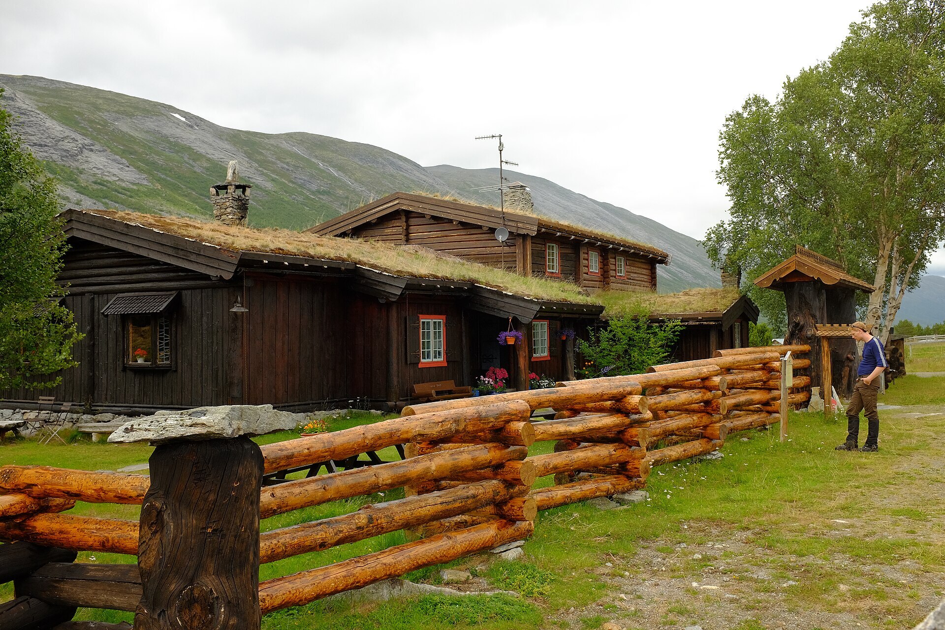
Visiting: a good way in by camper is Sota Sæter in Skjåk. Turn off Rv15 at Dønfoss and follow the Bråtå road about 27 km up the valley, with a toll barrier at Bråtå. DNT says the road is open all year, but winter driving can be hard. Sota has been a tourist place since 1894, when the reindeer hunter Svein Kvitingen agreed with DNT to give walkers food and a bed. Today it is a staffed DNT lodge with an information point, and marked trails start here towards Nørdstedalseter and Sprongdalshytta. Many routes in Breheimen are among the toughest in southern Norway: few proper paths, mostly self-service cabins, and glaciers you should only cross with a guide. Give wild reindeer plenty of room. Visitor centres are the Norwegian Mountain Centre in Lom and Breheimsenteret in Jostedalen. Nearby in our guide: Gamle Strynefjellsvegen Scenic Route and Sognefjellet Scenic Route. More on the park's official page.

Weather & Northern Lights
Now
In 24 hours
Northern Lights Chances
Weather forecast from MET Norway (yr.no). An indication, not a promise: aurora activity over this place (NOAA) times the clear sky in the best three-hour window of the night (MET Norway). The next nights rest on the Kp forecast only. More: our Northern Lights Forecast and the Northern Lights Map.
Getting there
Sota Sæter, Skjåk, Norway
Nearby
- Coop Prix BruvollNearest shop · 23 km
- Vinmonopolet LomNearest Vinmonopolet · 45 km
- Geiranger Ferry QuayNearest ferry42 km
- Øyberg SeterNearest campsite22 km
Data from OpenStreetMap (ODbL)
On the way
Road reports within 40 km and the nearest road cameras, from Statens vegvesen (NLOD). The pictures refresh every few minutes; the reports are put into English word by word. All road cameras
Reviews
Rate this place
You are, or have been here? Give it your stars.
Comments
Thank you! Your comment is shown once we have read it.
No comments yet.
Write a comment
Let us know your experience with this place -- did something change? Your comment is shown once we have read it.
Please write a few words.
Thank you -- that is enough for now. Please try again in an hour.