

Photos: Ryan Hodnett (CC BY-SA 4.0), Krib (CC BY-SA 4.0), Bobo11 (CC BY-SA 3.0) · Wikimedia Commons
1 / 3Folgefonna National Park
About
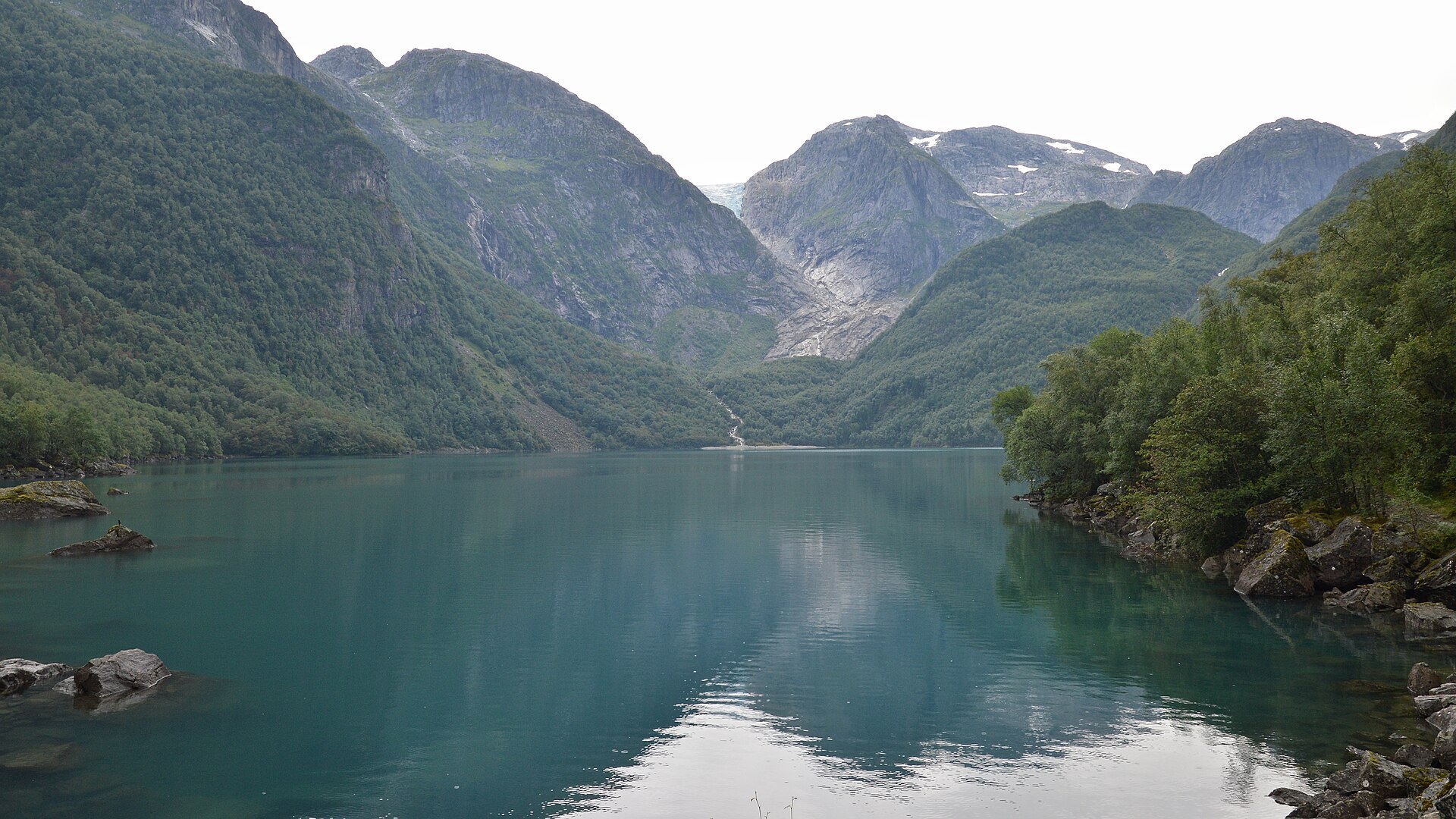
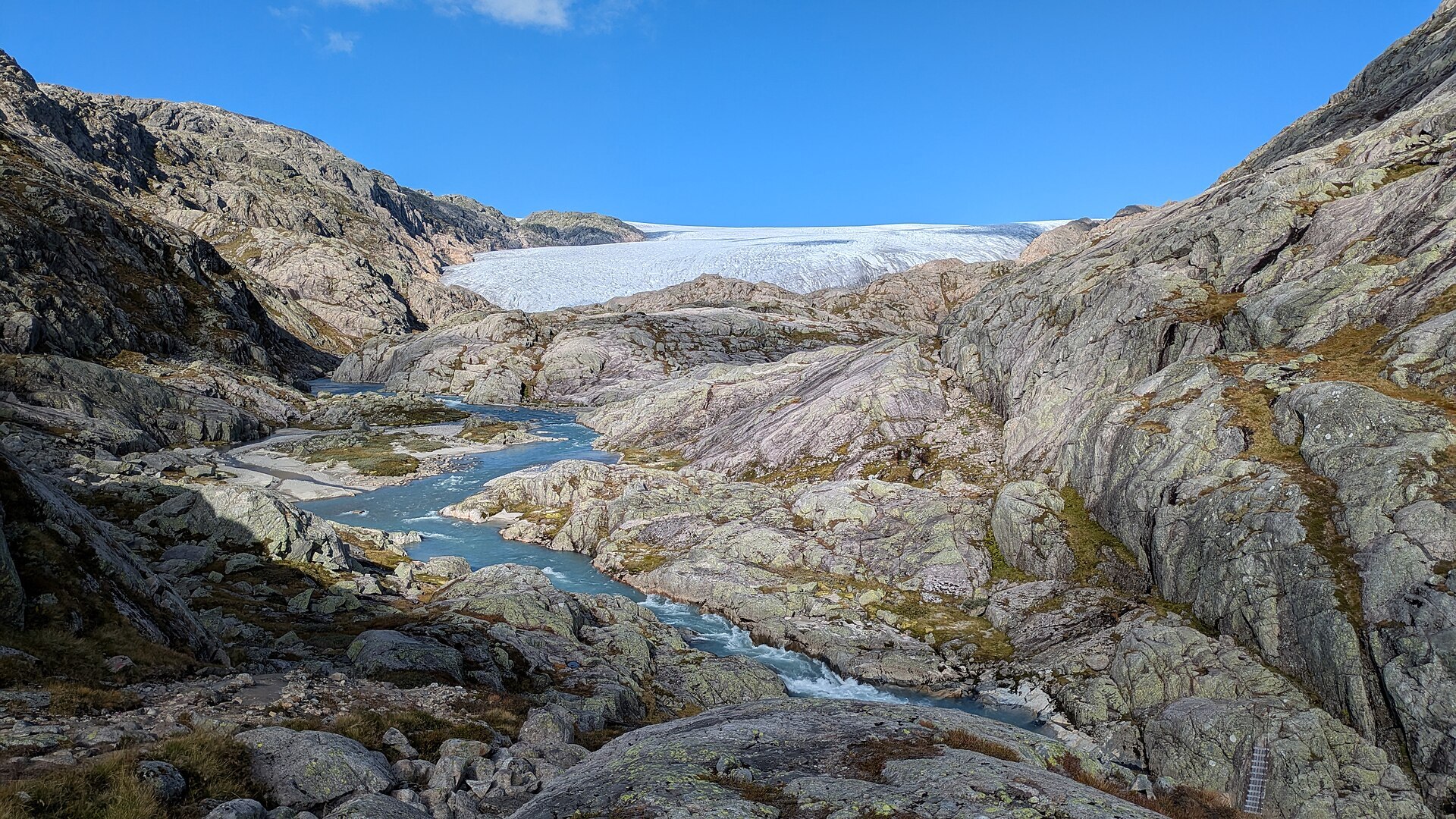
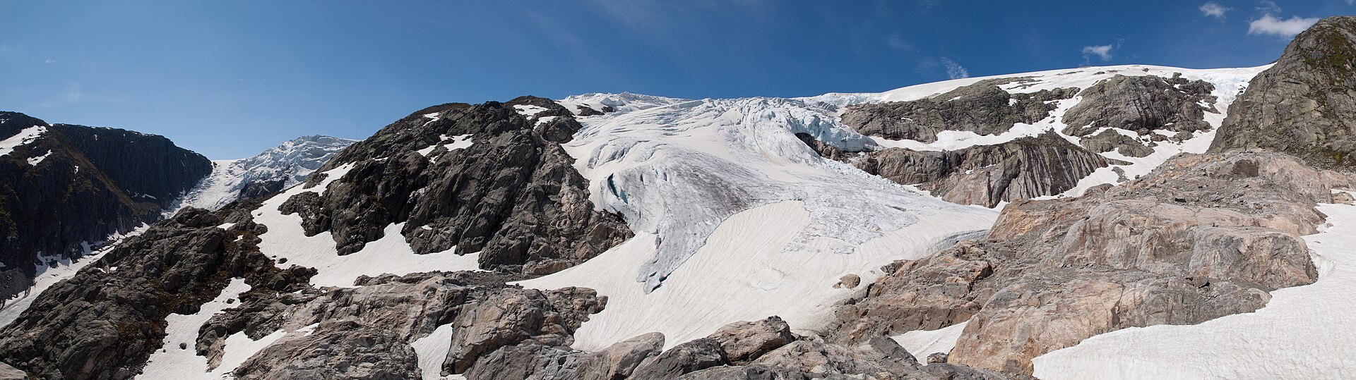
Folgefonna sits on the peninsula between the Hardangerfjord and the Sørfjord, a white cap of ice you can see from far out in the fjords. It is Norway's third largest glacier, and the national park around it was set up in 2005 and covers 545 km². What makes it special is how close everything is. Glacier tongues like Bondhusbrea and Buarbreen hang down towards green valleys, and from the edge of the ice it is around a thousand metres almost straight down to the fjord. Funny enough, Folgefonna is not left over from the Ice Age. The old ice melted away completely, and Nordre Folgefonna only formed again around 5.000 years ago when the climate turned colder and wetter. Red deer are common in the valleys.
Local knowledge: the gravel road up Bondhusdalen is called Isvegen, the ice road. It was built in 1863, not for tourists but to bring ice from Bondhusbrea down to the fjord by horse and cart. From the quay at Sundal the ice was shipped to towns along the coast and abroad. Bondhusbrea also has a place in science: Nils Hertzberg, the parish priest of Ullensvang, made the first glacier measurements in Norway here. With simple instruments he put the top at about 1.600 metres, and modern laser and satellite readings say 1.640, so the priest was not far off.
Local legend: the old story goes that Folgefonna came as a punishment. The people of seven whole parishes lived such sinful lives that a sudden snowfall buried them all while they sat in church. Only one girl survived, because she was at home cooking dinner for her master, and her descendants are said to live in the area to this day.
Visiting: the pin is the car park just above Sundal in Mauranger, on the west side of the peninsula. From here the gravel Isvegen leads to Bondhusvatnet, a green glacier lake just outside the park border, with the Bondhusbrea icefall at the far end. It is an easy walk, fine for prams and wheelchairs, about two hours there and back. Good boots and about four hours return take you on along the lake to the moraines below the glacier. Queen Sonja opened the park here in 2005, and her signature is carved into a stone by the lake. Don't go out on the ice without a glacier guide. The park's visitor centre is in Rosendal, with the Stone Park a ten-minute walk away. Drones and e-bikes are not allowed in the park. More: the park's official page and Folgefonna National Park's own site. Nearby in our guide: Langfossen, Låtefossen, Trolltunga and the Hardangerfjord.

Weather & Northern Lights
Now
In 24 hours
Northern Lights Chances
Weather forecast from MET Norway (yr.no). An indication, not a promise: aurora activity over this place (NOAA) times the clear sky in the best three-hour window of the night (MET Norway). The next nights rest on the Kp forecast only. More: our Northern Lights Forecast and the Northern Lights Map.
Getting there
Bondhusdalen car park, Sundal, 5627 Mauranger (Kvinnherad), Norway
Nearby
- Rema 1000 SørfjordsenteretNearest shop · 16 km
- Toilets100 m
- Vinmonopolet OddaNearest Vinmonopolet · 16 km
- Årsnes Ferry QuayNearest ferry15 km
- Sundal Camping (plass 2)Nearest campsite700 m
Data from OpenStreetMap (ODbL)
On the way
Road reports within 40 km and the nearest road cameras, from Statens vegvesen (NLOD). The pictures refresh every few minutes; the reports are put into English word by word. All road cameras
Reviews
Rate this place
You are, or have been here? Give it your stars.
Comments
Thank you! Your comment is shown once we have read it.
No comments yet.
Write a comment
Let us know your experience with this place -- did something change? Your comment is shown once we have read it.
Please write a few words.
Thank you -- that is enough for now. Please try again in an hour.