

Hardangerfjord
About
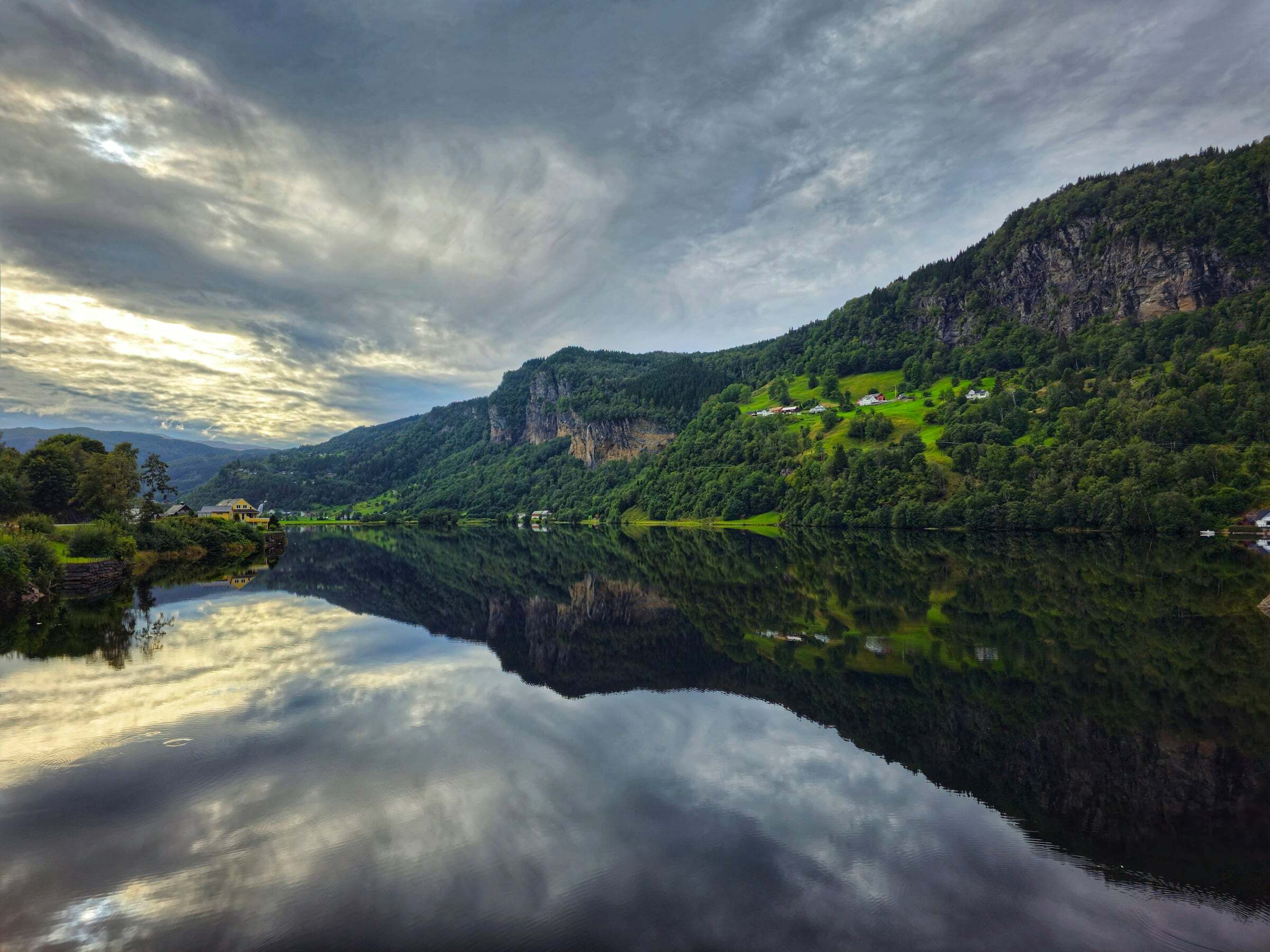
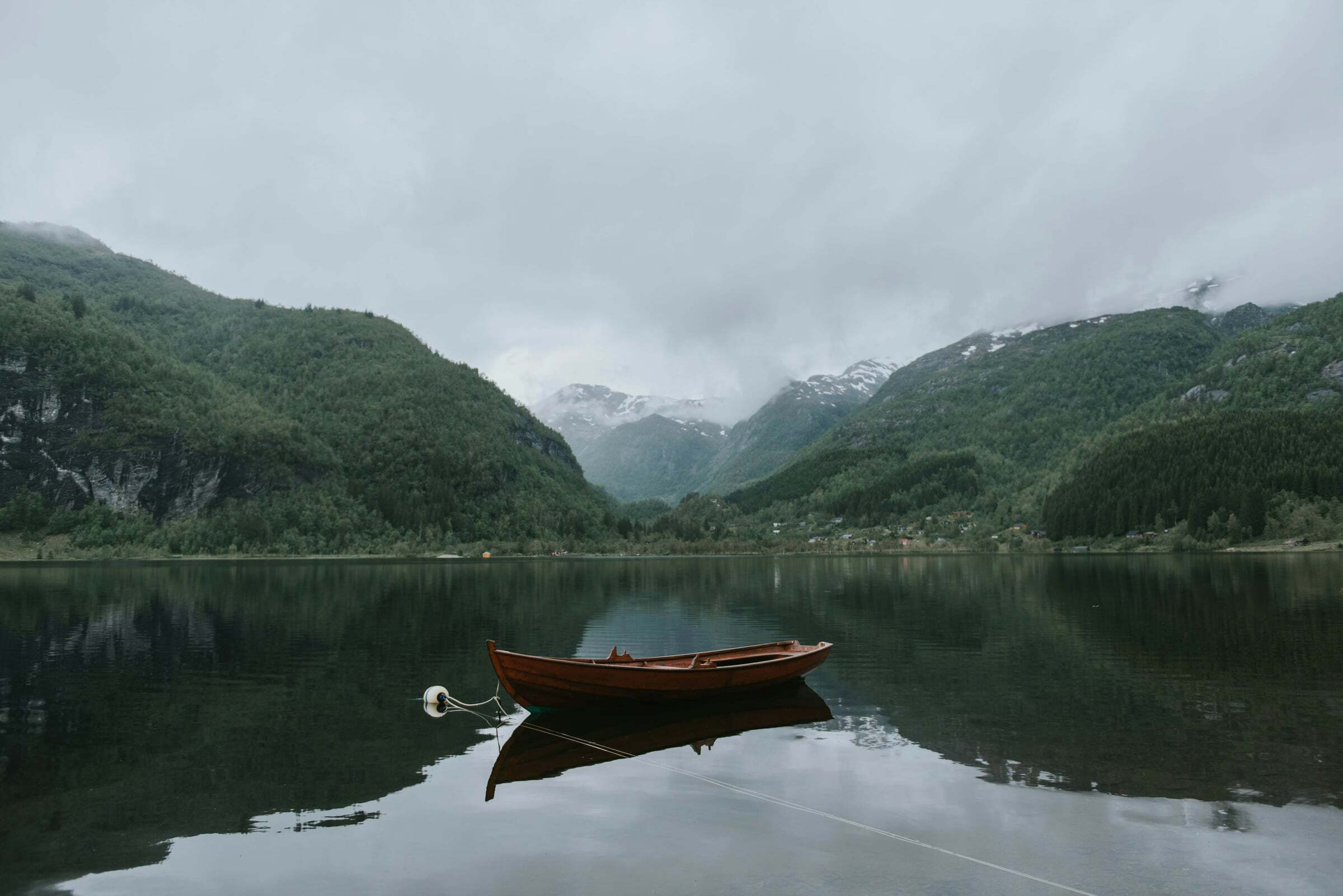
The Hardangerfjord is about 179 km long and up to 860 metres deep (190 km and 893 metres, depending on where its mouth is drawn). It is the gentle fjord of fruit orchards on sunny slopes, with blossom usually from mid-May to mid-June (earlier in warm years) and fresh fruit and cider in late summer and autumn. The pin marks Norheimsund, the first fjord village when you come from Bergen.
Stops along the fjord: Steinsdalsfossen just outside Norheimsund, where you walk behind the waterfall; the National Tourist Route Hardanger with the ferry Jondal–Tørvikbygd; Vøringsfossen above Eidfjord on the Hardangervidda Scenic Route; Låtefossen south of Odda; and Trolltunga above Odda.
Tips for campers: some ferries run rarely – just missing the Utne–Kinsarvik ferry can mean a wait of up to two hours, so check the timetable. Tents must be at least 150 metres from houses and cabins, and orchards are cultivated land: no camping there without the owner’s permission. Many viewpoint platforms close in winter; Vøringsfossen’s car parks and toilets are open from April to October.

Weather & Northern Lights
Now
In 24 hours
Northern Lights Chances
Weather forecast from MET Norway (yr.no). An indication, not a promise: aurora activity over this place (NOAA) times the clear sky in the best three-hour window of the night (MET Norway). The next nights rest on the Kp forecast only. More: our Northern Lights Forecast and the Northern Lights Map.
Getting there
Norheimsund, 5600 Kvam, Norway
Nearby
- Coop Prix NorheimsundNearest shop · 100 m
- Esso NorheimsundFuel200 m
- Toiletsright here
- NorheimsundNearest villageright here
- Vinmonopolet NorheimsundNearest Vinmonopolet · 100 m
- Tørvikbygd Ferry QuayNearest ferry7,9 km
- Hardanger FeriesenterNearest campsite2,7 km
Data from OpenStreetMap (ODbL)
On the way
Road reports within 40 km and the nearest road cameras, from Statens vegvesen (NLOD). The pictures refresh every few minutes; the reports are put into English word by word. All road cameras
Reviews
Rate this place
You are, or have been here? Give it your stars.
Comments
Thank you! Your comment is shown once we have read it.
No comments yet.
Write a comment
Let us know your experience with this place -- did something change? Your comment is shown once we have read it.
Please write a few words.
Thank you -- that is enough for now. Please try again in an hour.