

Fredrikstad
About
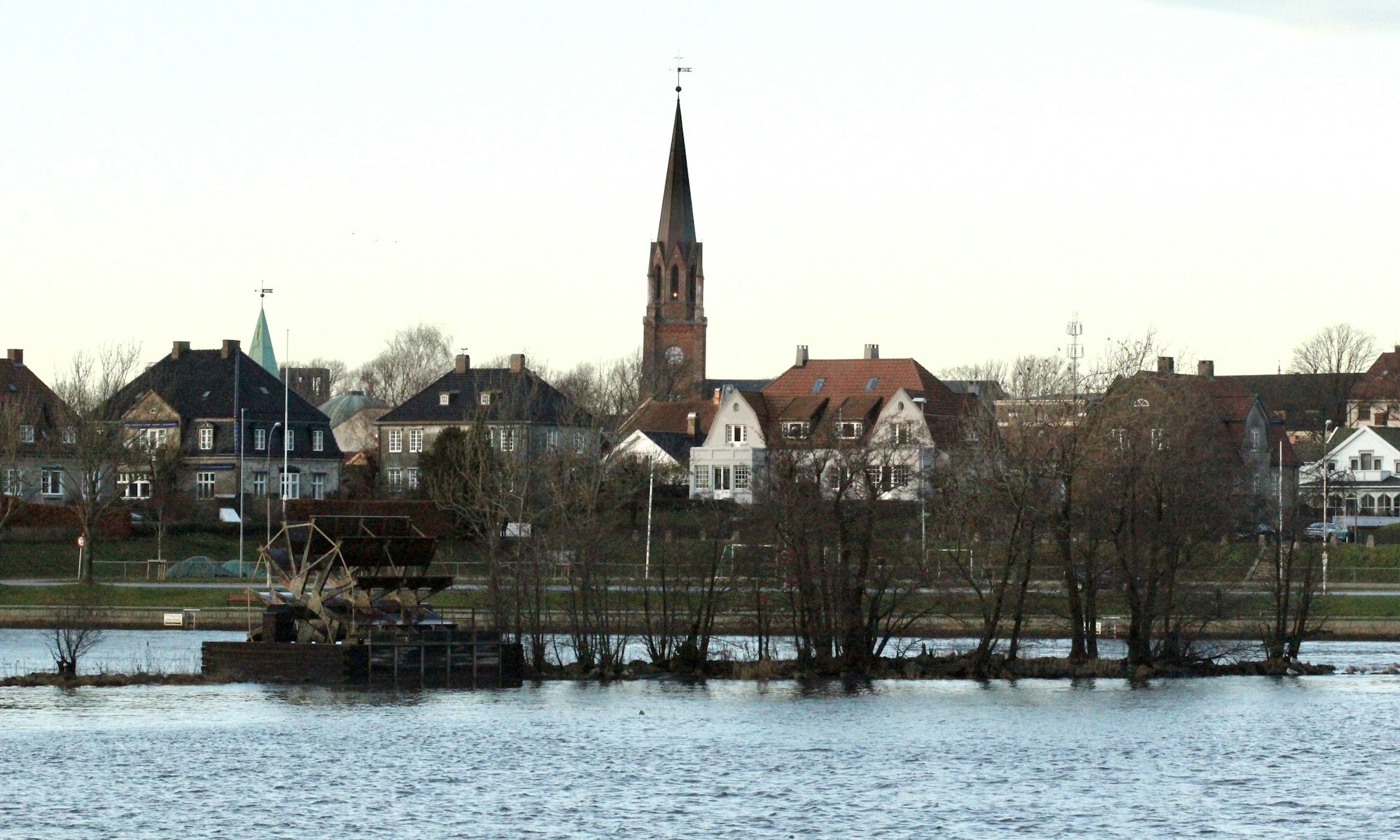
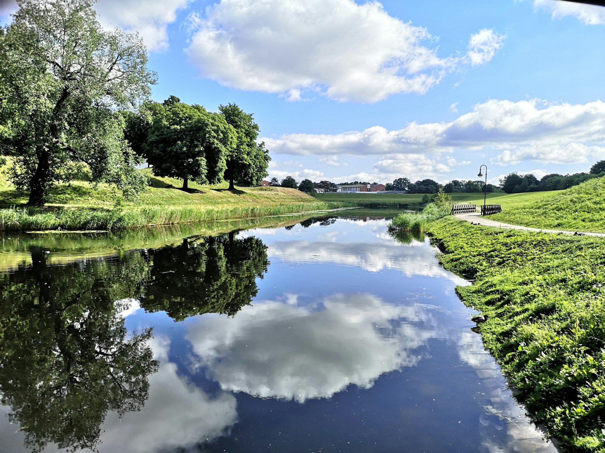
Fredrikstad lies where the Glomma, Norway's longest river, splits in two just before it meets the sea. The modern centre is on the west bank, with the brick cathedral and its tall spire above the water. Across the river lies Gamlebyen, the old town inside Fredrikstad fortress: wide, water-filled moats in the shape of a star, grassy ramparts, cobbled streets and low houses from the 1700s. Store norske leksikon calls it the best-preserved fortified town in Northern Europe. Just under 300 people still live inside the walls.
Fredrikstad and Sarpsborg, its older neighbour up the river, have grown together into one urban area of about 123.600 people. The town grew rich on timber after 1860, when steam sawmills and brickworks filled the riverbanks, and Fredrikstad got the nickname Plankebyen, the plank town.
Local knowledge: Fredrikstad is a town that moved. In 1567, during the Nordic Seven Years' War, the Swedes burned Sarpsborg, up by the big waterfall. The townspeople asked King Frederik II to let them build again nearer the mouth of the Glomma, and on 12 September 1567 he signed the letter. Sarpsborg's town rights went down the river to the farm Bruberg on the east bank, and the new town got the king's name, the first in Norway named after a king. The fortress came almost a hundred years later, when the peace of Roskilde in 1658 moved the Swedish border much closer. The ramparts went up from 1663. They saw battle only once, in August 1814, and gave in to the Swedes after about a day.
Born here: Egil Olsen (born 1942), Drillo to every Norwegian, grew up on Østsiden, the east bank, and as national coach took Norway to the World Cups of 1994 and 1998, beating Brazil 2–1 in France. Ole Jacob Broch (1818–1889) was a mathematician who ended his career near Paris as director of the International Bureau of Weights and Measures.
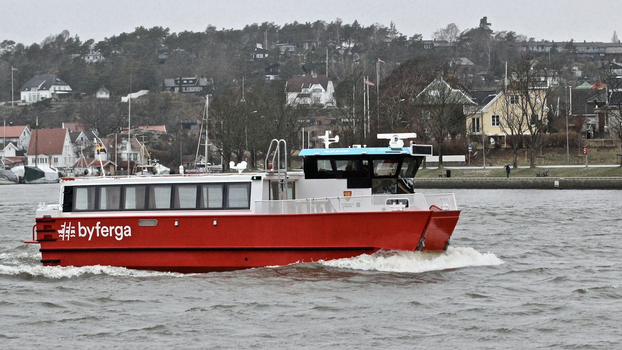
Visiting: in summer the pin is the tourist information, inside Fredrikstad Museum in Tøihuset, the fortress storehouse from 1775 and the biggest building in Gamlebyen. The museum tells the town's story and has an exhibition on Østfold in the war of 1939–45, so it's the rainy-day tip, but outside summer it's mostly open at weekends. From Tøihuset it's a short walk to Kongens torv with the statue of Frederik II and Provianthuset from 1674, the oldest building in town. To cross the river, take the town ferry. It's free, and every boat is called Go'vakker plus the name of a woman who mattered to Fredrikstad. Out past the Hvaler islands is Ytre Hvaler National Park, Norway's first marine national park.
Fact sheet
- People: 86.243 in Fredrikstad municipality (Fredrikstad itself is too small for Statistics Norway's count of urban settlements)
- County: Østfold
- Town since: 1567 (as a trading town)
- Typical industries: food production, trucking, buses and other land transport, nursing and care homes
Population on 1 January 2026, from Statistics Norway. Typical industries are the ones with a much bigger share of the jobs here than in Norway as a whole (Statistics Norway, 2025).
Weather & Northern Lights
Now
In 24 hours
Northern Lights Chances
Weather forecast from MET Norway (yr.no). An indication, not a promise: aurora activity over this place (NOAA) times the clear sky in the best three-hour window of the night (MET Norway). The next nights rest on the Kp forecast only. More: our Northern Lights Forecast and the Northern Lights Map.
Getting there
Tøihusgaten 41, 1632 Gamle Fredrikstad, Norway
Nearby
- Spar Gamle FredrikstadNearest shop · 600 m
- St1 KråkerøyFuel1,0 km
- Toilets200 m
- FredrikstadNearest town1,6 km
- Vinmonopolet Fredrikstad, ØstsidenNearest Vinmonopolet · 1,3 km
- Makø Ferry QuayNearest ferry20 km
- Fredrikstad Motel & CampingNearest campsite600 m
Data from OpenStreetMap (ODbL)
On the way
Road reports within 40 km and the nearest road cameras, from Statens vegvesen (NLOD). The pictures refresh every few minutes; the reports are put into English word by word. All road cameras
Reviews
Rate this place
You are, or have been here? Give it your stars.
Comments
Thank you! Your comment is shown once we have read it.
No comments yet.
Write a comment
Let us know your experience with this place -- did something change? Your comment is shown once we have read it.
Please write a few words.
Thank you -- that is enough for now. Please try again in an hour.