

Photos: Espen Faugstad (CC BY 2.0), Inkey (CC BY-SA 4.0), Sindre Skrede (CC BY-SA 4.0) · Wikimedia Commons
1 / 3Jotunheimen National Park
About
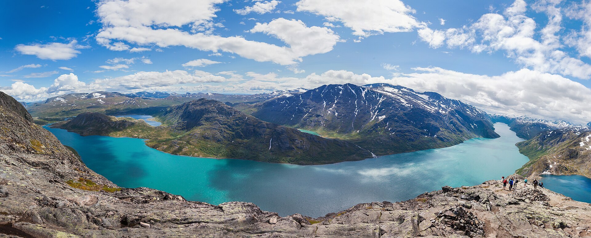
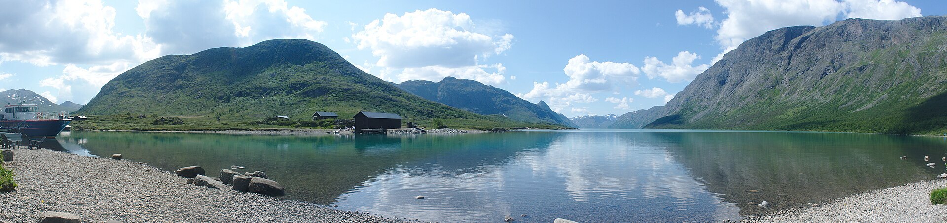
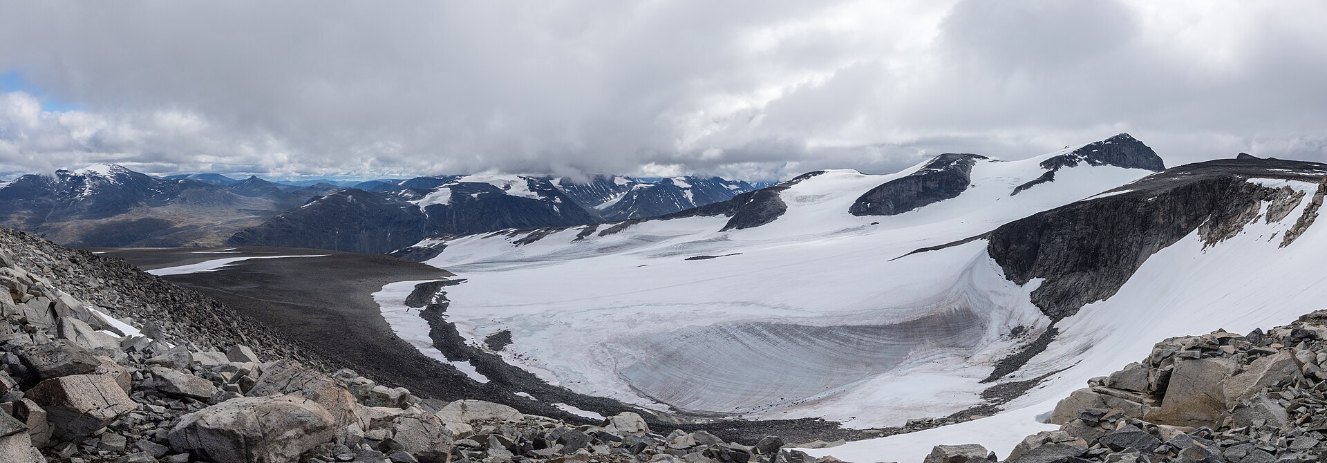
Every Norwegian mountain higher than 2.300 metres stands in Jotunheimen. Galdhøpiggen (2.469 m) is the highest in Norway and northern Europe, and Glittertind is only a few metres lower if you count the ice on its top. In the west the sharp Hurrungane peaks, with Store Skagastølstind, draw climbers. Between the glaciers lie long lakes, and the best known is Gjende in the east. Its water is a milky green from the clay that glacier rivers wash in, while Bessvatnet next door, almost 400 metres higher, is plain blue. The park was protected in 1980 and covers 1.151 km².
Local knowledge: for a long time these mountains had no common name. In 1820 the geologist Baltazar Mathias Keilhau suggested "Jotunfjeldene", the mountains of the giants, and in 1862 the poet Aasmund Olavsson Vinje turned it into Jotunheimen, after the home of the giants in Norse myth. The narrow ridge between Gjende and Bessvatnet got its own fame from Ibsen. In Peer Gynt, Peer tells his mother how he rode a reindeer buck along "Gjendineggen", today's Besseggen, with the lakes far below on both sides. Ibsen borrowed the story from a tale Asbjørnsen wrote down in 1842, where the hunter was called Gudbrand Glesne and the ride took place in Rondane.
Local knowledge: the park was a long fight. DNT proposed a national park here as early as 1904, but there were plans to use Gjende for hydropower, and protection had to wait until the Sjoa river system with Gjende was protected for good in 1973. The park came in 1980, with nearly the same borders that conservationists had drawn up in 1935.
Visiting: Rv51 over Valdresflye takes you to Gjendesheim, the DNT lodge from 1878 at the east end of Gjende. The road from Beitostølen is closed in winter and opens around 1 April, but Gjendesheim can be reached all year from Randsverk. The pin is the big pay car park at Reinsvangen by Rv51, about 2 km from the lodge, with a shuttle bus. Parking at the lodge itself is limited. For Besseggen most people take the boat to Memurubu and walk back over the ridge, which DNT puts at about 6 hours. The climb to Veslfjellet (1.743 m) is steep and airy, so it is no walk for bad weather. An easier day is the path along Gjende from Gjendesheim towards Memurubu, full of flowers in early summer. E-bikes and drones are not allowed in the park. The visitor centre is the Norwegian Mountain Centre in Lom. Nearby in our guide: Valdresflye Scenic Route and Sognefjellet Scenic Route. More on the park's official page.

Weather & Northern Lights
Now
In 24 hours
Northern Lights Chances
Weather forecast from MET Norway (yr.no). An indication, not a promise: aurora activity over this place (NOAA) times the clear sky in the best three-hour window of the night (MET Norway). The next nights rest on the Kp forecast only. More: our Northern Lights Forecast and the Northern Lights Map.
Getting there
Reinsvangen, Gjendesheim, Vågå, Norway
Nearby
- Spar BeitostølenNearest shop · 27 km
- Toilets200 m
- Vinmonopolet BeitostølenNearest Vinmonopolet · 27 km
- Besseggen Fjellpark ASNearest campsite400 m
Data from OpenStreetMap (ODbL)
On the way
Road reports within 40 km and the nearest road cameras, from Statens vegvesen (NLOD). The pictures refresh every few minutes; the reports are put into English word by word. All road cameras
Reviews
Rate this place
You are, or have been here? Give it your stars.
Comments
Thank you! Your comment is shown once we have read it.
No comments yet.
Write a comment
Let us know your experience with this place -- did something change? Your comment is shown once we have read it.
Please write a few words.
Thank you -- that is enough for now. Please try again in an hour.