

Photos: Arnstein Rønning (CC BY-SA 4.0), Orf3us (CC BY-SA 4.0), Andhar310 (CC BY-SA 4.0) · Wikimedia Commons
1 / 3Larvik
About
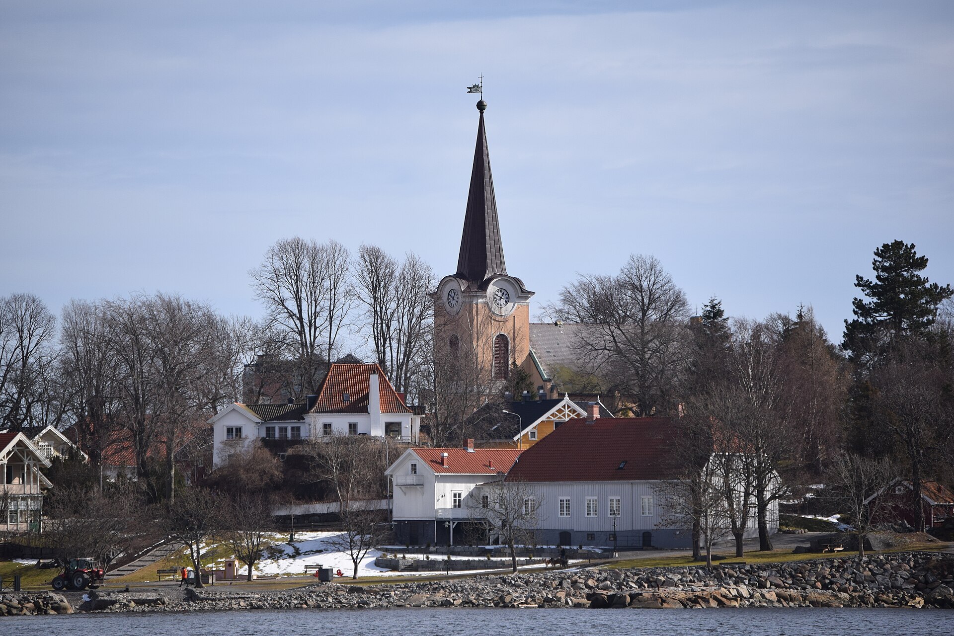
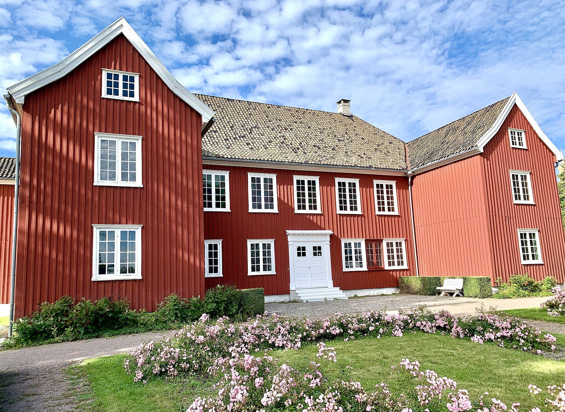
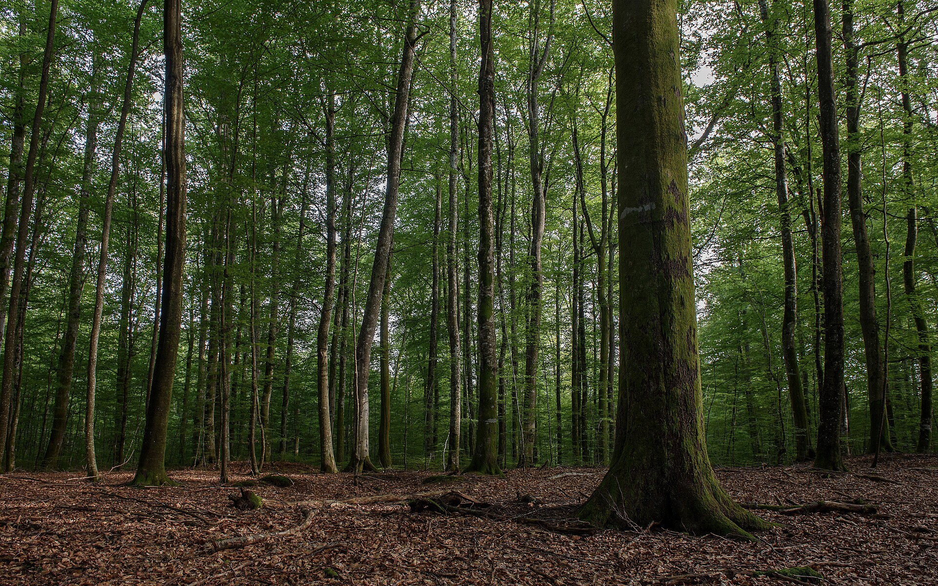
Larvik lies at the head of the Larviksfjord, between the mouths of Numedalslågen and the short Farris river. The town climbs the slope from the harbour to Bøkeskogen, the beech forest on the ridge above the centre. The oldest part is out on the point at Tollerodden: the church from 1677, the old customs house and Herregården, the counts' manor.
The dark stone with a blue shimmer that you see on polished facades and gravestones is larvikite. It's quarried in big pits around the town and named after it, and in 2008 it was chosen as Norway's national rock.
Local knowledge: long before there was a town, the bay was called Lagarvík, the bay of the Lågen. Larvik got its charter in 1671, the same year Ulrik Frederik Gyldenløve, the king's illegitimate son and governor in Norway, became Count of Laurvig. The count owned all the land it stood on, the townspeople paid him ground rent, and he picked the mayor and the councillors. In 1674 he built Herregården as his residence in baroque style, all in wood. The ironworks at Fritsø ran until 1868, and the name lives on in Treschow-Fritzøe, still the biggest company in Larvik. In 1883 Fritz Treschow offered Bøkeskogen to the state for free, so it could be kept "as a delight for Larvik". Parliament said yes in 1884, and that counts as the first public nature protection in Norway.
Born here: Thor Heyerdahl (1914–2002) grew up in Larvik and became one of the best-known Norwegians ever when he sailed the balsa raft Kon-Tiki 8.000 km from Peru to Polynesia in 1947. Colin Archer (1832–1921), son of Scottish parents who had settled in the town, designed Norway's first rescue boats and built Fridtjof Nansen's polar ship Fram.
Visiting: the pin is on Torget, among the shopping streets. Walk east to Tollerodden for the old town. Larvik kirke has a painting of Christ with the children said to be by Lucas Cranach the Elder, and the customs house from 1712 is now a maritime museum. Herregården is a museum too, and on a wet day it's the best bet, open in summer and at weekends into October. Look for the greetings from royal visits cut into the rock face of Herregårdsbakken. Then walk up into Bøkeskogen: almost 30 hectares of beech, an outdoor stage and about 90 burial mounds from the late Iron Age and the Viking Age. Out at the mouth of the Oslofjord, Færder National Park protects the islands and the sea around them.
Fact sheet
- People: 27.826 in Larvik, 49.022 in Larvik municipality
- County: Vestfold
- Town since: 1671 (as a trading town)
- Typical industries: building construction, wholesale trade, food production
Population on 1 January 2026, from Statistics Norway. Typical industries are the ones with a much bigger share of the jobs here than in Norway as a whole (Statistics Norway, 2025).
Weather & Northern Lights
Now
In 24 hours
Northern Lights Chances
Weather forecast from MET Norway (yr.no). An indication, not a promise: aurora activity over this place (NOAA) times the clear sky in the best three-hour window of the night (MET Norway). The next nights rest on the Kp forecast only. More: our Northern Lights Forecast and the Northern Lights Map.
Getting there
Torget, 3256 Larvik, Norway
Nearby
- Extra LarvikNearest shop · 200 m
- Circle K NansetgataFuel500 m
- Toilets400 m
- LarvikNearest townright here
- Vinmonopolet LarvikNearest Vinmonopolet · 200 m
- Siktesøya Ferry QuayNearest ferry15 km
- Larvik BobilhavnNearest motorhome park600 m
Data from OpenStreetMap (ODbL)
On the way
Road reports within 40 km and the nearest road cameras, from Statens vegvesen (NLOD). The pictures refresh every few minutes; the reports are put into English word by word. All road cameras
Reviews
Rate this place
You are, or have been here? Give it your stars.
Comments
Thank you! Your comment is shown once we have read it.
No comments yet.
Write a comment
Let us know your experience with this place -- did something change? Your comment is shown once we have read it.
Please write a few words.
Thank you -- that is enough for now. Please try again in an hour.