

Photos: Simo Räsänen (CC BY-SA 3.0), Frankemann (CC BY-SA 4.0), Guntars Mednis (CC BY-SA 3.0) · Wikimedia Commons
1 / 3Reinheimen National Park
About
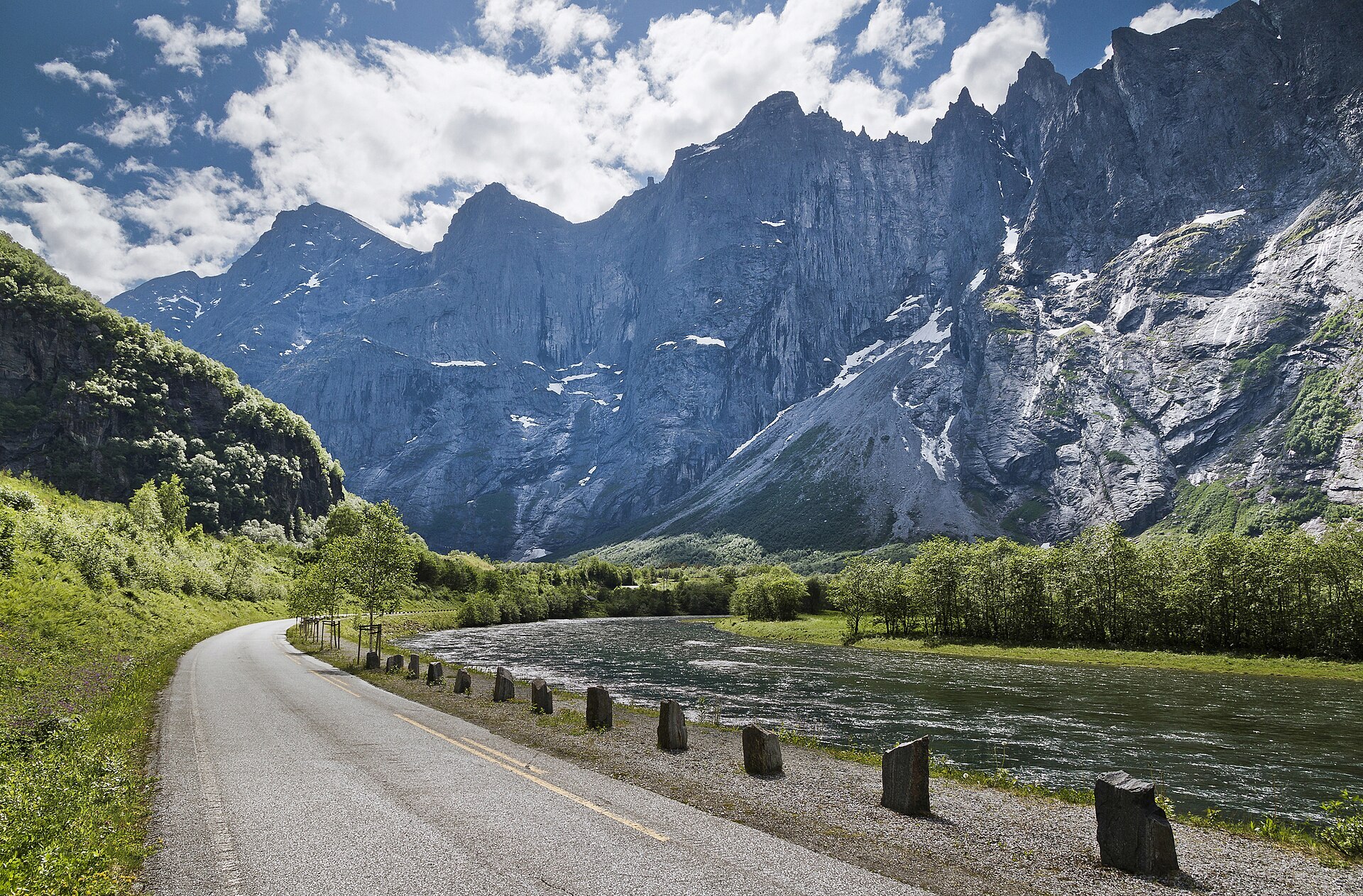
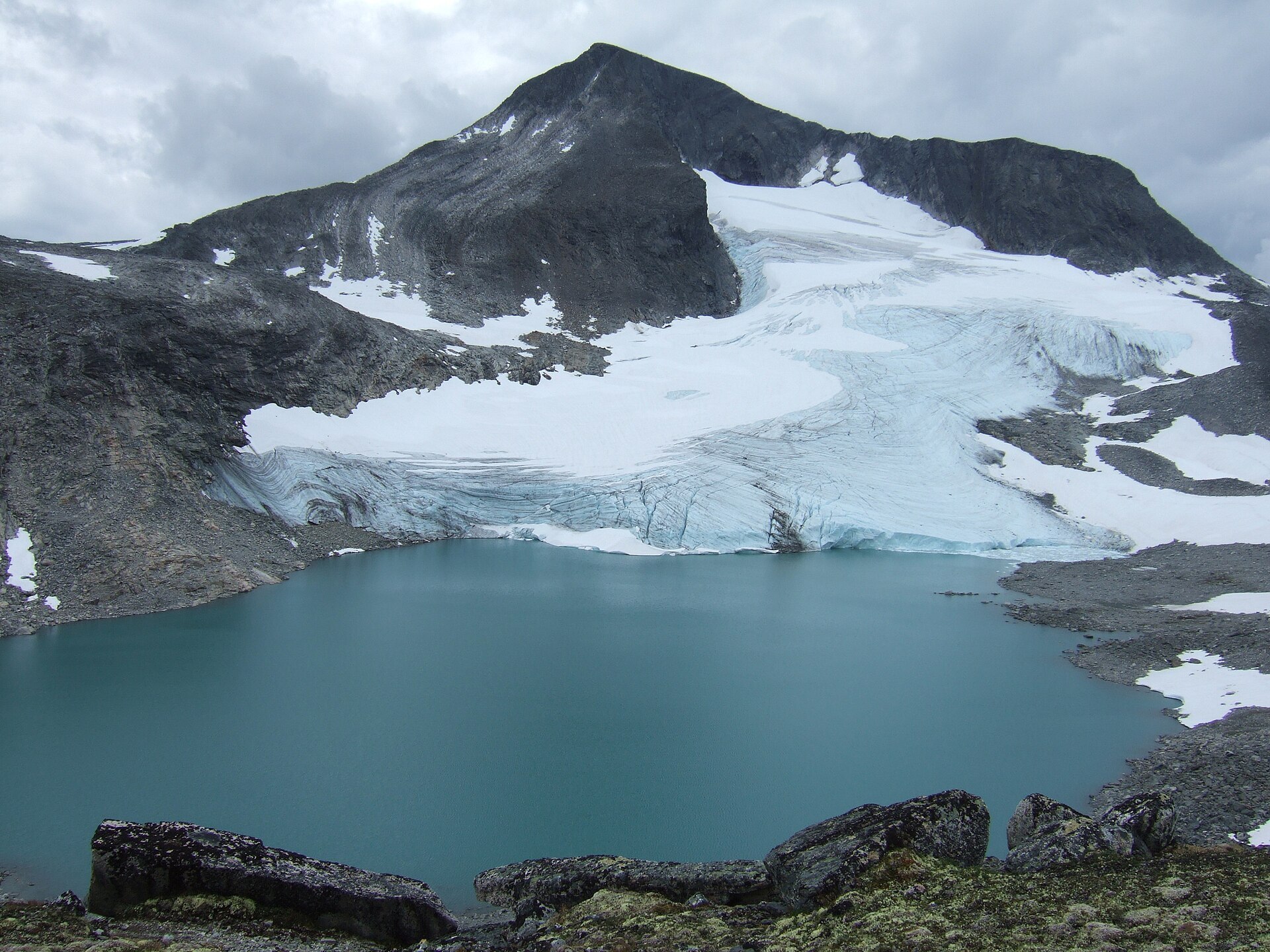
The name says it: Reinheimen is the home of the reindeer. About 2.000 wild reindeer winter in these mountains between Ottadalen, Lesja and Romsdalen, and protecting them was the main reason the park was created in 2006. At 1.969 km² it is one of the largest areas without roads in southern Norway. The east is gentle, with wide heaths and long valleys, and Gråhøe (2.014 m) rises in the middle. Towards the west it gets steep: the Tafjordfjella peaks, and in the far north-west Trolltindane with Trollveggen, the Troll Wall, about 1.700 metres from the valley floor to the top. The lowest point of the park is down at its foot in Romsdalen, only about 130 metres above the sea. Wolverine, golden eagle and gyrfalcon live here too.
Local knowledge: for a long time these mountains had no common name. Olaf Heitkøtter, a mountain warden, called them Reinheimen in a book from the 1970s about his years up here, and the name stuck. People have hunted in this area since the ice left, and more than a thousand traces of it have been found: pits, bow hides and trapping systems several kilometres long. In 2014 a 1.300-year-old ski melted out of the ice at Digervarden, and in 2021 archaeologists found its partner just a few metres away. Both still have parts of their bindings, and together they are the best-preserved prehistoric skis in the world. You can see them at the Norwegian Mountain Centre in Lom.
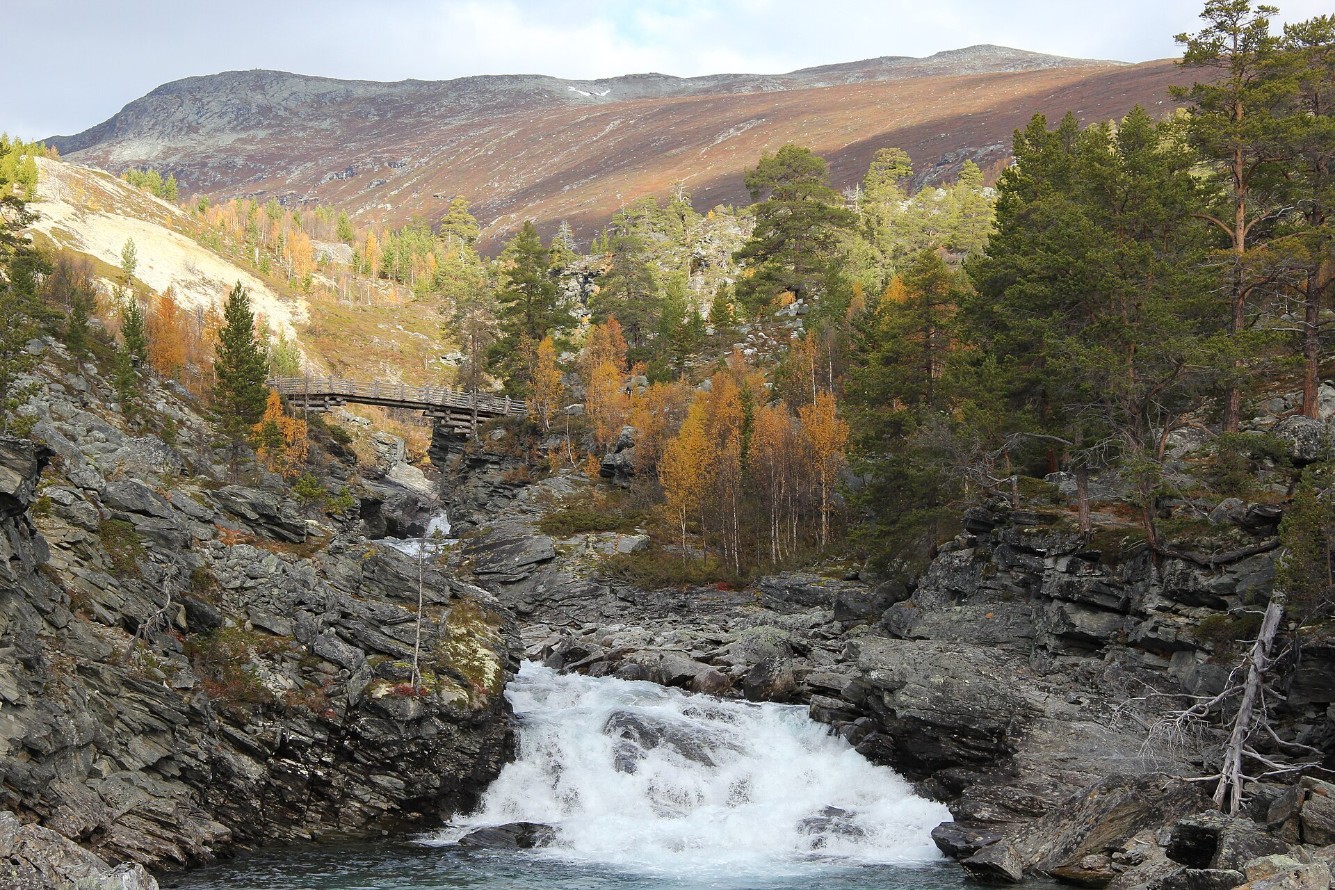
Visiting: most of Reinheimen has few paths, and the park is happy to keep it that way for the reindeer. An easy way in is Billingen on Rv15 in Skjåk, between Lom and Grotli, where the pin is. There is an information board and roadside parking by Billingen Seterpensjonat, an old summer farm guesthouse by the Tora and Føysa rivers. From its door a marked 3,1 km nature and culture trail loops through the forested slopes with views to Reinheimen and Breheimen, and another marked path leads through mountain pine forest to Steinbrua, a stone bridge over the Føysa. If you see reindeer, enjoy them and move away, especially in winter and during calving in spring, and keep dogs on a lead. In the north the park reaches almost to the Trollstigen viewpoint on the Geiranger–Trollstigen Scenic Route. More on the park's official page.

Weather & Northern Lights
Now
In 24 hours
Northern Lights Chances
Weather forecast from MET Norway (yr.no). An indication, not a promise: aurora activity over this place (NOAA) times the clear sky in the best three-hour window of the night (MET Norway). The next nights rest on the Kp forecast only. More: our Northern Lights Forecast and the Northern Lights Map.
Getting there
Billingen, Skjåk, Norway
Nearby
- Coop Prix BruvollNearest shop · 16 km
- Toilets600 m
- Vinmonopolet LomNearest Vinmonopolet · 41 km
- Geiranger Ferry QuayNearest ferry36 km
- Skjåk SæterNearest campsite4,9 km
Data from OpenStreetMap (ODbL)
On the way
Road reports within 40 km and the nearest road cameras, from Statens vegvesen (NLOD). The pictures refresh every few minutes; the reports are put into English word by word. All road cameras
Reviews
Rate this place
You are, or have been here? Give it your stars.
Comments
Thank you! Your comment is shown once we have read it.
No comments yet.
Write a comment
Let us know your experience with this place -- did something change? Your comment is shown once we have read it.
Please write a few words.
Thank you -- that is enough for now. Please try again in an hour.