

Photos: Thomas M. Hansen (CC BY-SA 3.0), Espen Franck-Nielsen (CC BY-SA 4.0), Vogler (CC BY-SA 4.0) · Wikimedia Commons
1 / 3Sarpsborg
About
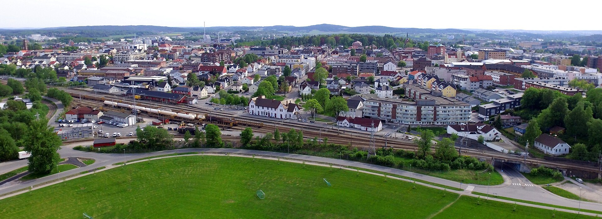
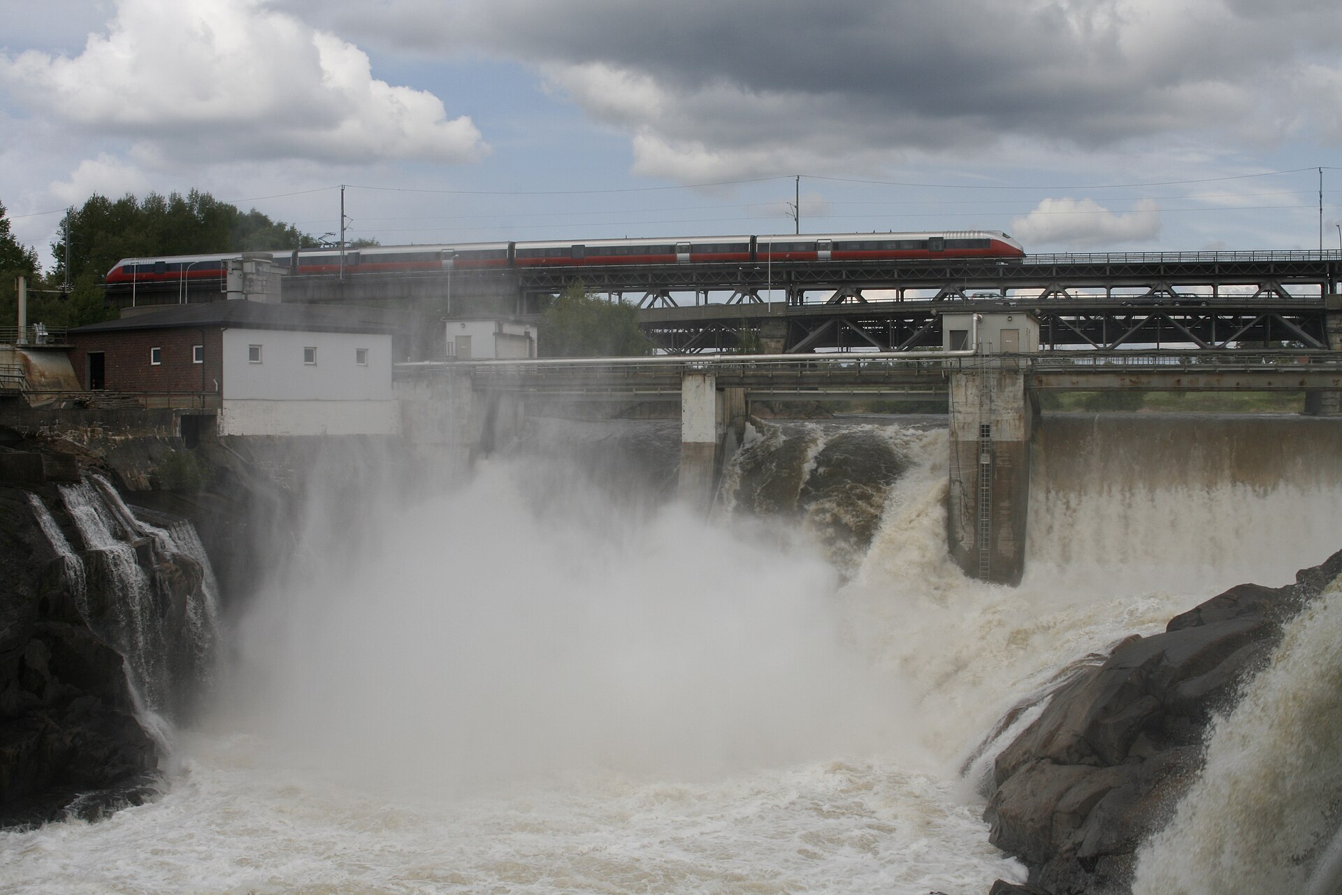
Sarpsborg is built around a waterfall. Sarpefossen is the last big drop on the Glomma, Norway's longest river, and most of the river comes down here at once, about 20 metres, under the road and railway bridge. The centre sits on top of Raet, the long moraine ridge across Østfold, with St. Marie gate as the main street. Below the falls lies Borregaard, the big plant that has shaped the town since the 1800s. It turns timber into speciality cellulose and chemicals, vanillin among them. Sarpsborg and Fredrikstad, the younger town at the river mouth, have grown into one urban area of about 123.600 people.
Local knowledge: Olav Haraldsson, later Saint Olav, founded the town in 1016 as Borg. He threw up an earth rampart across the headland by the falls and built a royal farm and a church. Of today's Norwegian towns only Tønsberg and Trondheim are older. The falls were called Sarpr, which may mean "the greedy one" or "the one that swallows", and by the 1200s the town was Sarpsborg. The name turned out to fit. On a February night in 1702 the clay on the west bank gave way, and the manor of Borregård, with much of the ground the medieval town had stood on, slid into the Glomma. Fourteen people and 200 animals died. The owner, Jens Werenskiold, his family and the steward got out only because a pregnant woman on the farm felt unwell and sent for the midwife, who saw the ground starting to crack. Borregaard's factories stand in the hollow the slide left. Sarpsborg had lost its town rights in 1567, when the Swedes burned it and the townspeople moved down the river to found Fredrikstad, and it got them back only in 1839.
Born here: Knut Yran (1920–1998) drew the winning poster for the Oslo Winter Olympics in 1952 and the tourist posters that sold Norway abroad for years, from The Cradle of Skiing to Norway for real trollidays.
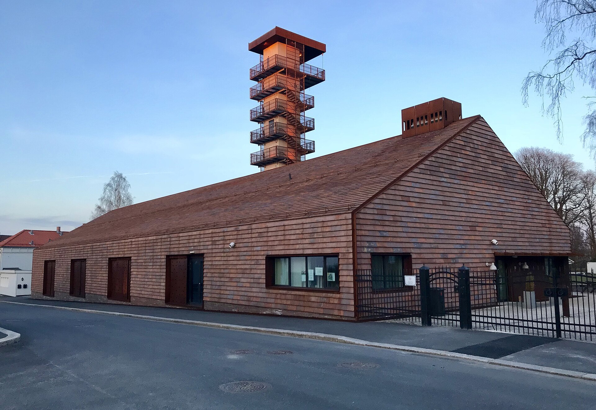
Visiting: the pin points to the authorised tourist information for all of Østfold, inside the INSPIRIA science centre at Grålum, by the E6 on the west side of town. Its science exhibition is the rainy-day tip, open at weekends and in school holidays. In town, walk down to Borgarsyssel Museum by the falls. It's built around the ruins of St. Nicholas church from about 1115, with old houses from around Østfold in the park. Olavs hall tells the story of medieval Borg and shows twelve scenes of the town's history that Thorbjørn Egner, the man behind Cardamom Town, made in 1939. The museum buildings are open in summer, the park longer. Beyond the mouth of the Glomma, past the Hvaler islands, lies Ytre Hvaler National Park.
Fact sheet
- People: 60.614 in Sarpsborg municipality (Sarpsborg itself is too small for Statistics Norway's count of urban settlements)
- County: Østfold
- Town since: 1839 (as a trading town)
- Typical industries: the hospital (Sykehuset Østfold Kalnes), car sales and repair, building trades such as electricians and plumbers
Population on 1 January 2026, from Statistics Norway. Typical industries are the ones with a much bigger share of the jobs here than in Norway as a whole (Statistics Norway, 2025).
Weather & Northern Lights
Now
In 24 hours
Northern Lights Chances
Weather forecast from MET Norway (yr.no). An indication, not a promise: aurora activity over this place (NOAA) times the clear sky in the best three-hour window of the night (MET Norway). The next nights rest on the Kp forecast only. More: our Northern Lights Forecast and the Northern Lights Map.
Getting there
Bjørnstadveien 16, 1712 Grålum, Norway
Nearby
- Rema 1000 GrålumNearest shop · 400 m
- Esso GrålumFuel400 m
- Toiletsright here
- SarpsborgNearest town3,1 km
- Vinmonopolet Sarpsborg, BorgNearest Vinmonopolet · 2,9 km
- Moss Ferry QuayNearest ferry27 km
- Utne CampingNearest campsite5,1 km
Data from OpenStreetMap (ODbL)
On the way
Road reports within 40 km and the nearest road cameras, from Statens vegvesen (NLOD). The pictures refresh every few minutes; the reports are put into English word by word. All road cameras
Reviews
Rate this place
You are, or have been here? Give it your stars.
Comments
Thank you! Your comment is shown once we have read it.
No comments yet.
Write a comment
Let us know your experience with this place -- did something change? Your comment is shown once we have read it.
Please write a few words.
Thank you -- that is enough for now. Please try again in an hour.