

Segla Senja
About
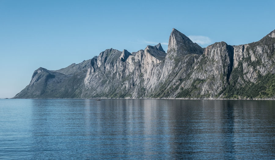
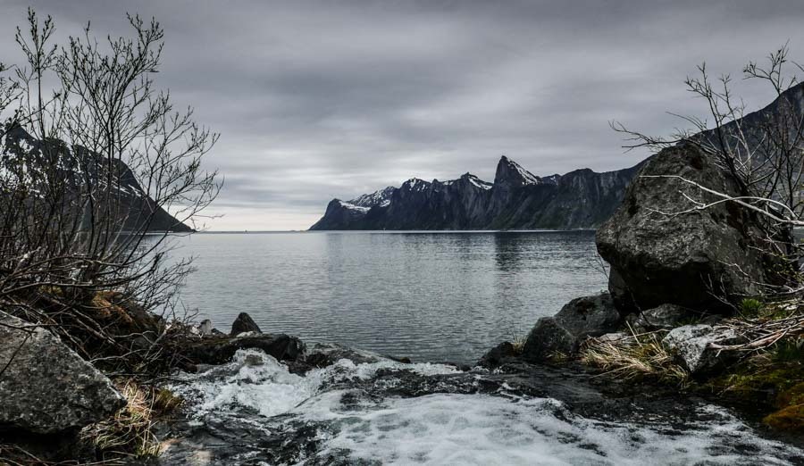
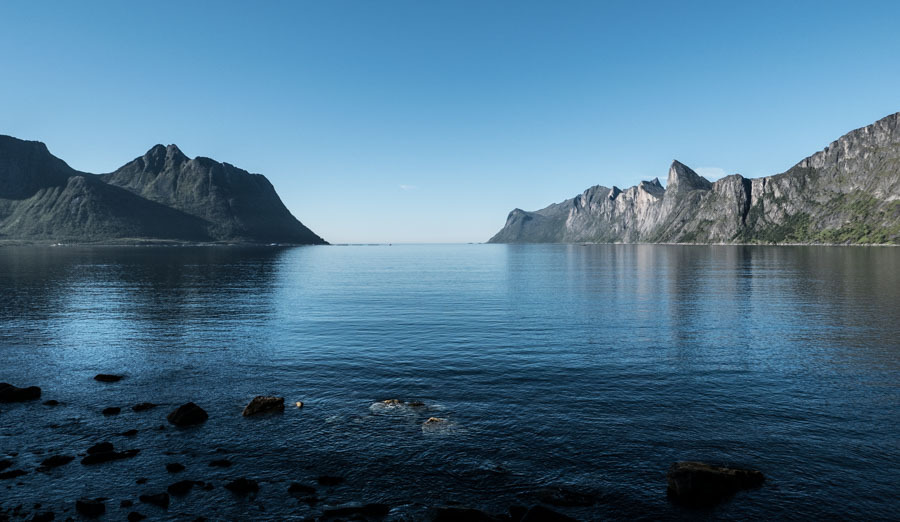
From the road (Fv862) near Senjahopen you look across Mefjorden to Segla, the steep peak that has become the symbol of Senja. This is a stop by camper: no walking needed.
The road is open all year, but avalanches can close roads on Senja for short periods in winter – check the road reports before you set off.
Want to go up? The Segla hike starts in Fjordgård on the other side of the fjord. It is a steep mountain hike, normally free of snow only from about mid-June to September. Read our Segla hike guide for the trail, parking and time.

Weather & Northern Lights
Now
In 24 hours
Northern Lights Chances
This season so far: 1 night with a chance above 75 % of Aurora sighting, 2 above 50 % (17 nights counted since 16 August).
Weather forecast from MET Norway (yr.no). An indication, not a promise: aurora activity over this place (NOAA) times the clear sky in the best three-hour window of the night (MET Norway). The next nights rest on the Kp forecast only. More: our Northern Lights Forecast and the Northern Lights Map.
Getting there
Rv862, 9386 Senjahopen, Norway
Nearby
- Snarkjøp FjordgårdNearest shop · 5.1 km
- Toilets9.8 km · 10 min
- FjordgårdNearest village10 km · 11 min
- Vinmonopolet FinnsnesNearest Vinmonopolet · 29 km
- Botnhamn - Brensholmen FerryNearest ferry18 km · 19 min
- Fjordbotn CampingNearest campsite14 km · 14 min
Data from OpenStreetMap (ODbL)
On the way
Road reports within 40 km and the nearest road cameras, from Statens vegvesen (NLOD). The pictures refresh every few minutes; the reports are put into English word by word. All road cameras
Reviews
(1 vote) 3.0
Rate this place
You are, or have been here? Give it your stars.
Comments
Thank you! Your comment is shown once we have read it.
No comments yet.
Write a comment
Let us know your experience with this place -- did something change? Your comment is shown once we have read it.
Please write a few words.
Thank you -- that is enough for now. Please try again in an hour.