

Geirangerfjord
About
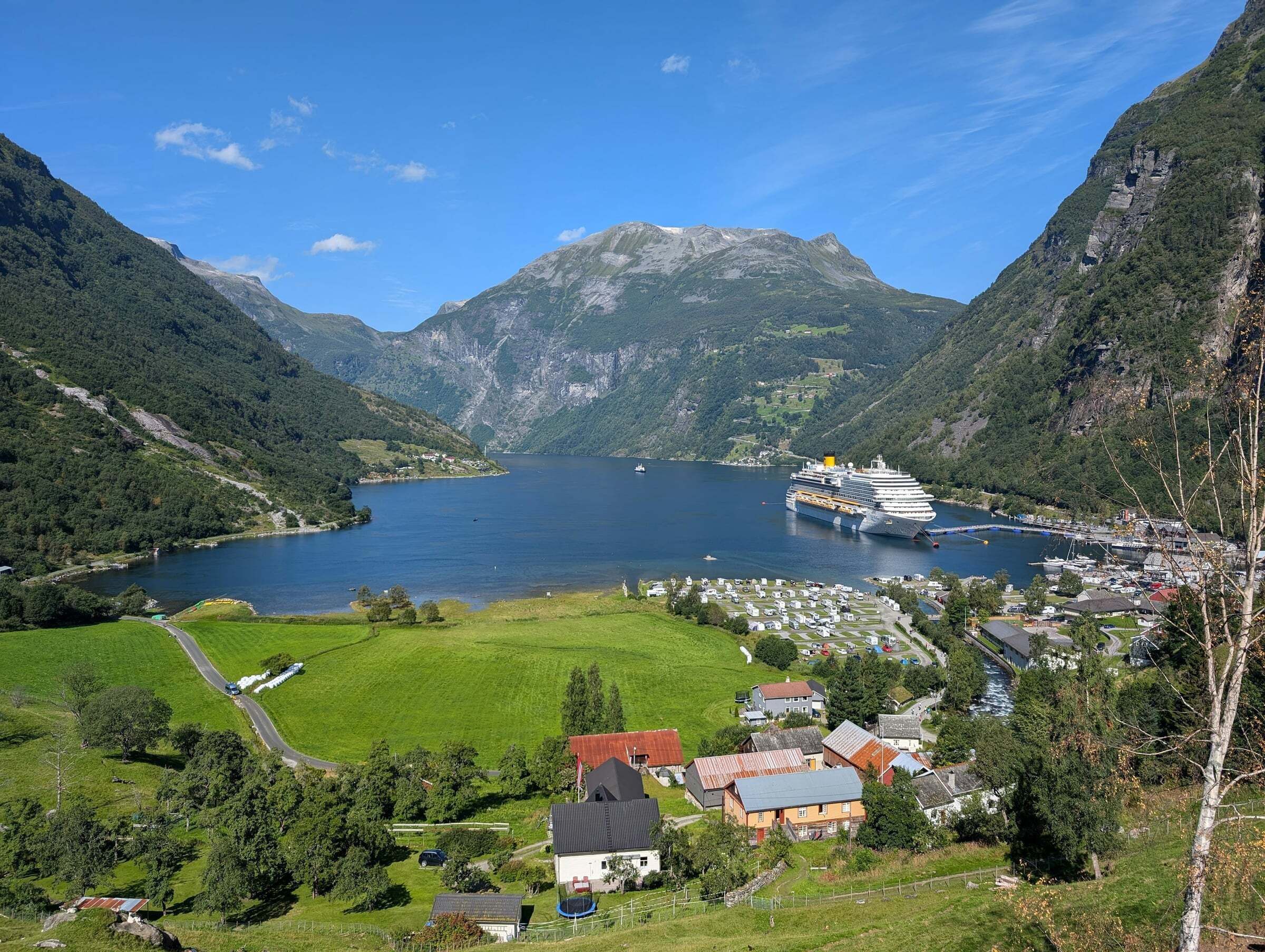
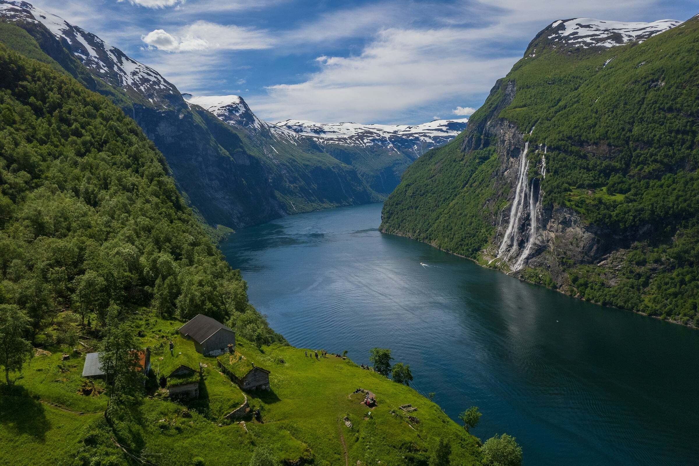
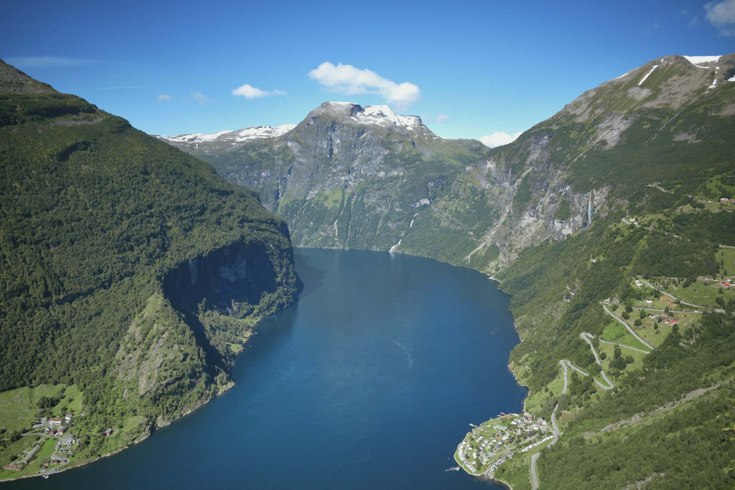
The Geirangerfjord is a 20 km arm of the Storfjord in Møre og Romsdal and, together with the Nærøyfjord, a UNESCO World Heritage Site (West Norwegian Fjords, 2005). Sheer mountainsides, waterfalls such as the Seven Sisters, the Suitor and the Bridal Veil, and abandoned mountain farms like Skageflå line the fjord. The pin marks the village of Geiranger at its head.
Best viewpoints: Flydalsjuvet, about 4 km up the road from the centre (free, right by the road); Ørnesvingen at 620 metres on the Eagle Road with its 11 hairpin bends towards Eidsdal (free and open all year, but the car park is small and narrow and not cleared in winter); and Dalsnibba, a 21 km toll road up to about 1.500 metres (about NOK 330 per car in 2026, usually open from mid-May into September or October).
On the water: the car ferry Geiranger–Hellesylt (about 1 hour 5 minutes) passes the Seven Sisters – book space for your vehicle ahead and be there 30 minutes early. Sightseeing boats run from about April to mid-October. Skageflå farm, about 250 metres above the fjord, is reached by boat and a steep path – not for small children.
Tips for campers: Geiranger lies on the Geiranger–Trollstigen Scenic Route; the road from Langvatnet and Trollstigen are closed in winter, so check the road status first. On many summer days cruise ships bring thousands of passengers – check the cruise calendar, pick a quiet day and come early or late. The viewpoint car parks are small, so arrive early. Emptying motorhome toilets is not allowed at Flydalsjuvet; there is a dump station in Geiranger. Beds are few and expensive, but there are campsites close to the village, such as Geirangerfjorden Feriesenter.

Weather & Northern Lights
Now
In 24 hours
Northern Lights Chances
Weather forecast from MET Norway (yr.no). An indication, not a promise: aurora activity over this place (NOAA) times the clear sky in the best three-hour window of the night (MET Norway). The next nights rest on the Kp forecast only. More: our Northern Lights Forecast and the Northern Lights Map.
Getting there
Geiranger, 6216 Stranda, Norway
Nearby
- Geiranger Camping ResepsjonNearest shop · 100 m
- YX GeirangerFuel200 m
- Toilets100 m
- GeirangerNearest villageright here
- Vinmonopolet StrandaNearest Vinmonopolet · 27 km
- Geiranger Ferry QuayNearest ferry400 m
- Vinje CampingNearest campsite900 m
Data from OpenStreetMap (ODbL)
On the way
Road reports within 40 km and the nearest road cameras, from Statens vegvesen (NLOD). The pictures refresh every few minutes; the reports are put into English word by word. All road cameras
Reviews
Rate this place
You are, or have been here? Give it your stars.
Comments
Thank you! Your comment is shown once we have read it.
No comments yet.
Write a comment
Let us know your experience with this place -- did something change? Your comment is shown once we have read it.
Please write a few words.
Thank you -- that is enough for now. Please try again in an hour.